- Highlights: Great views, wild horses, Appalachian Trail
- Distance: 8.9 miles out and back
- Elevation Change 1,770 feet
- Trail Surface: Dirt with some rocky sections
- Difficulty Level: Moderate/strenuous (elevation gain and rocky sections)
- Trailhead Parking: Elk Garden parking area, route 600 near Troutdale VA
- Website: AllTrails
- Beer Pairings: 36° Fifty Brewing—Irish Stout & Prohibition Lager
The Hike:
Most hikers reach the summit of Virginia’s highest peak by way of Grayson Highlands State Park. The hike from Massie Gap to Mount Rogers is very popular and the scenery and wild ponies are not to be missed. This hike from Elk Garden approaches Mount Rogers on the AT from the south and also has great views (and wild ponies). It’s a good way to avoid some of the crowds and congestion in Grayson Highlands. The parking area at Elk Garden can accommodate about 20 vehicles and has a pit toilet.
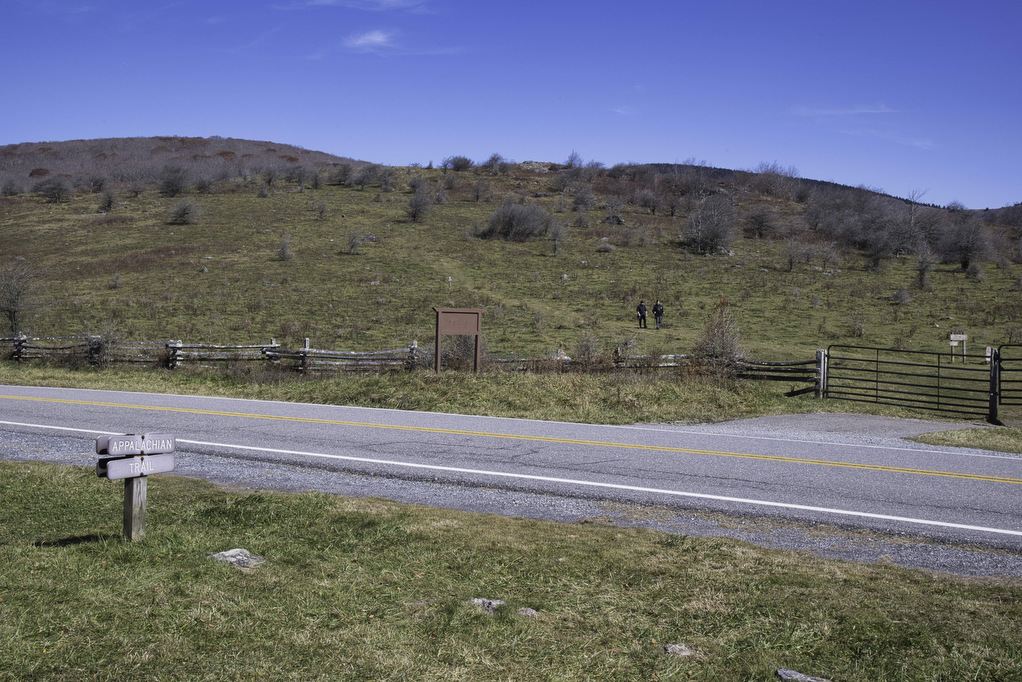
We hiked in late October and the colorful foliage in the high elevations was long gone. Early morning fog, clouds, and temperatures in the mid 30s quickly gave way to blue skies and temps in the upper 60s. From the parking area, cross route 600 and enter through the gate. Cattle graze in this area so make sure you close the gate behind you.
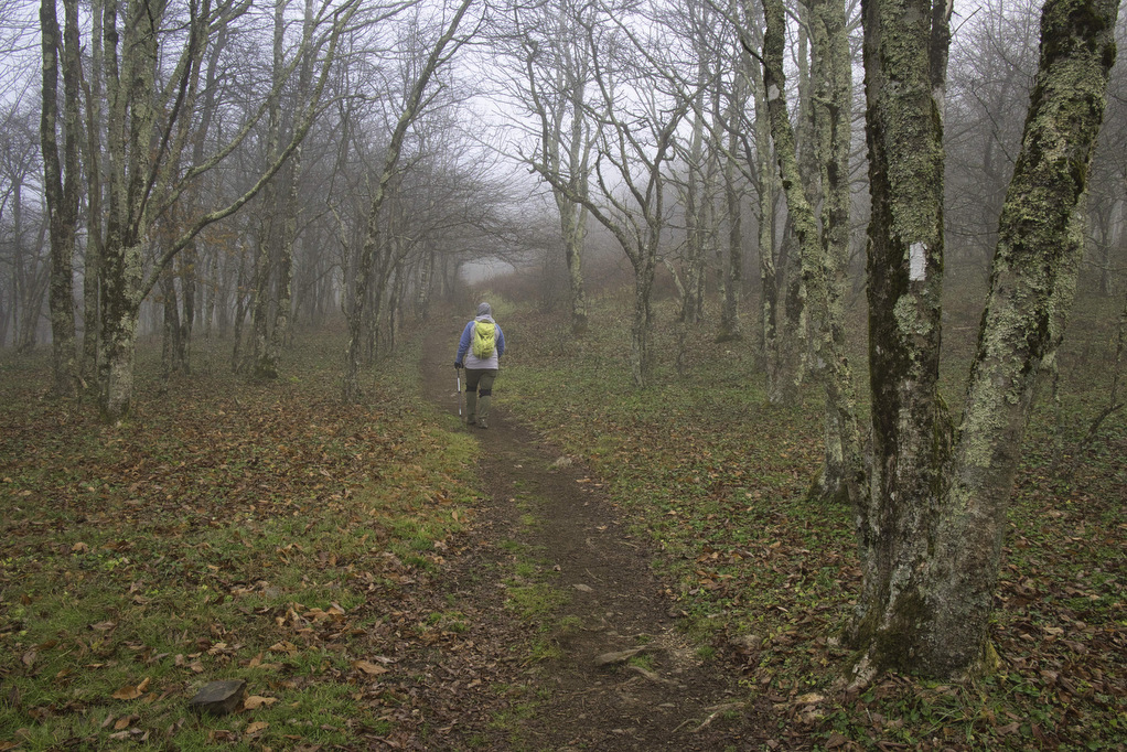
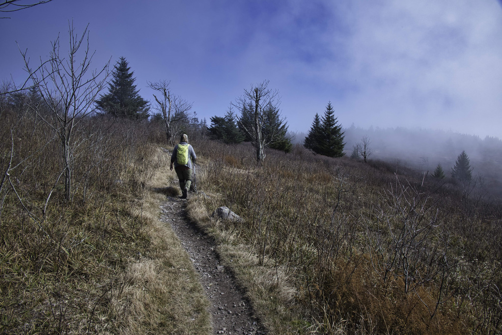
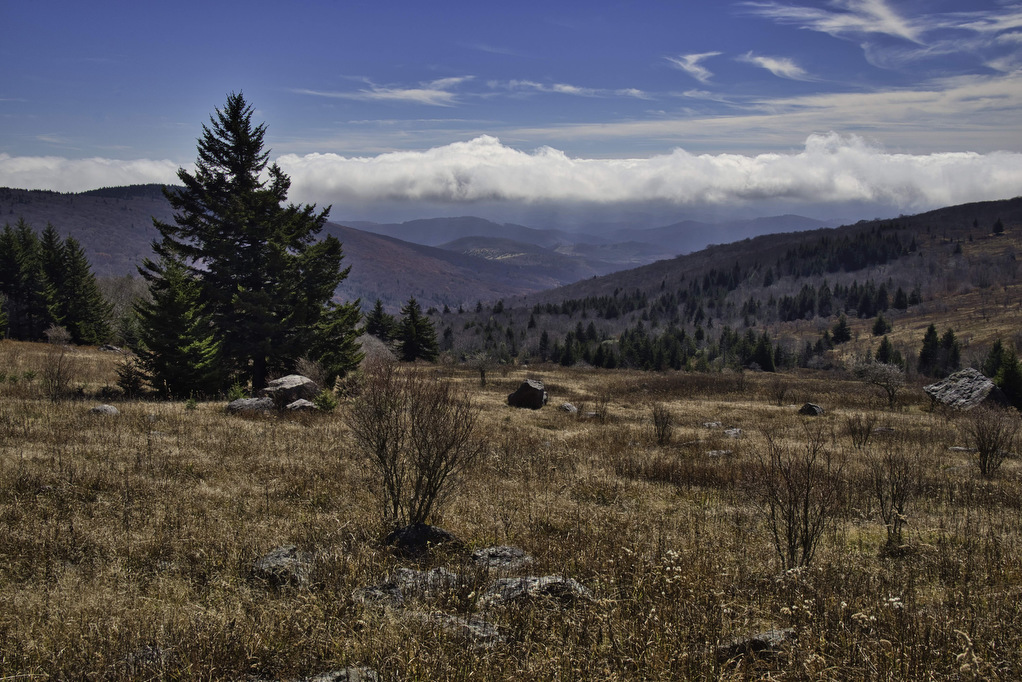
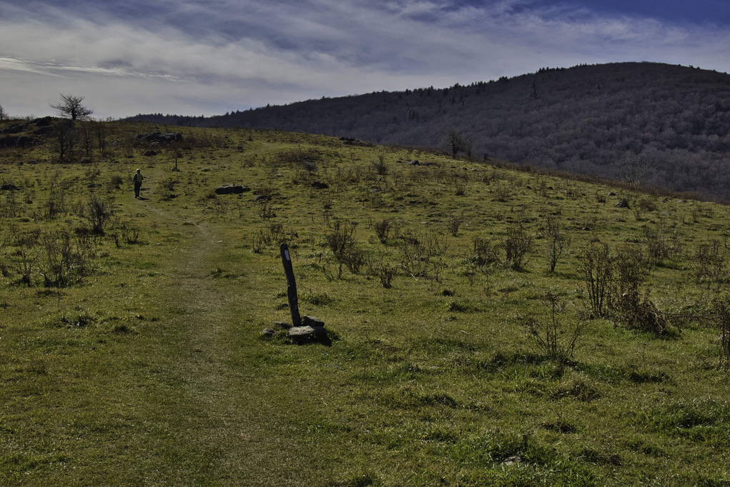
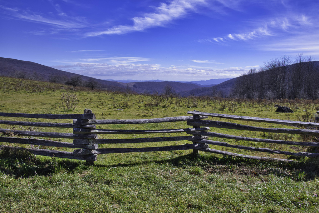
Follow the white-blazed AT as it branches off the the left. The AT begins a steady climb to the bald summit of Balsam Mountain. At 4,603-feet, the views from this bald open up to the west and southeast. Across route 600 to the south is the bald summit of Whitetop Mountain and Buzzard Rock.
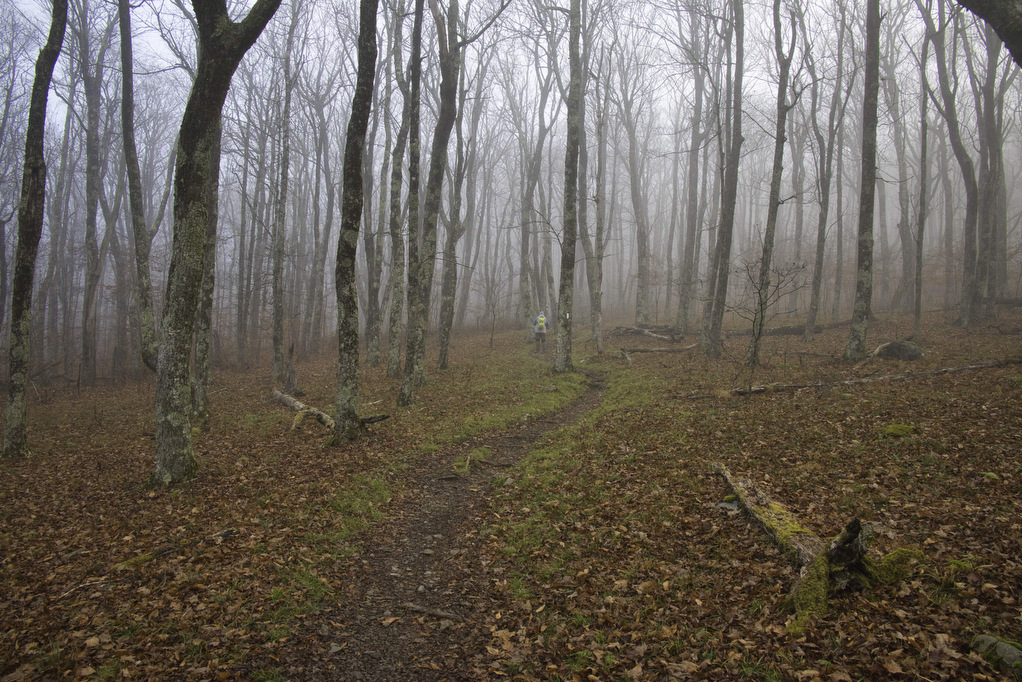
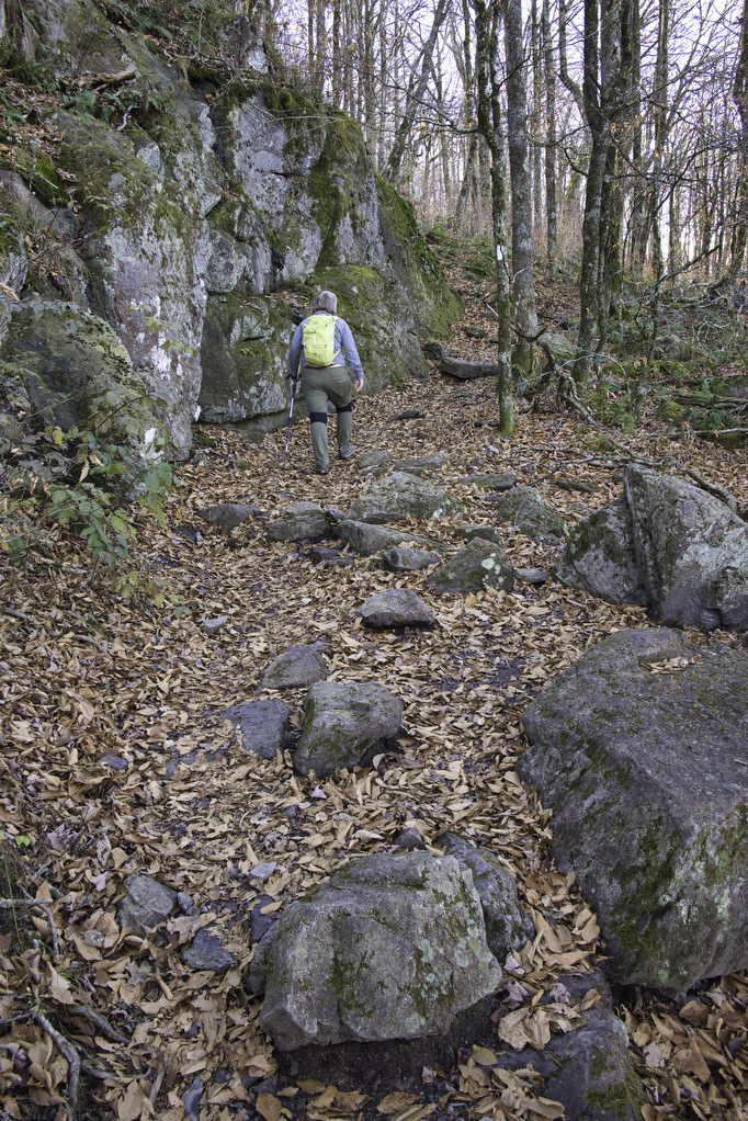
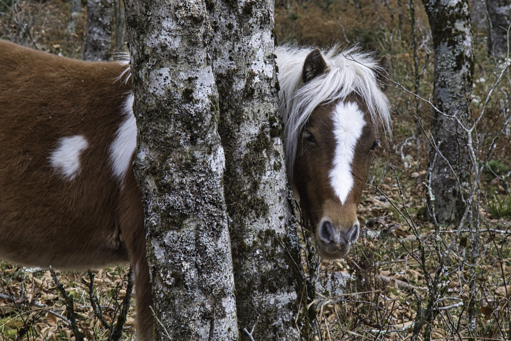
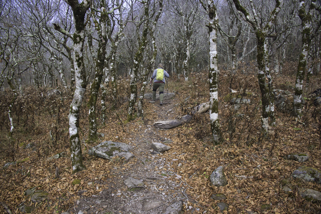
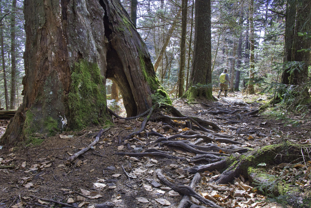
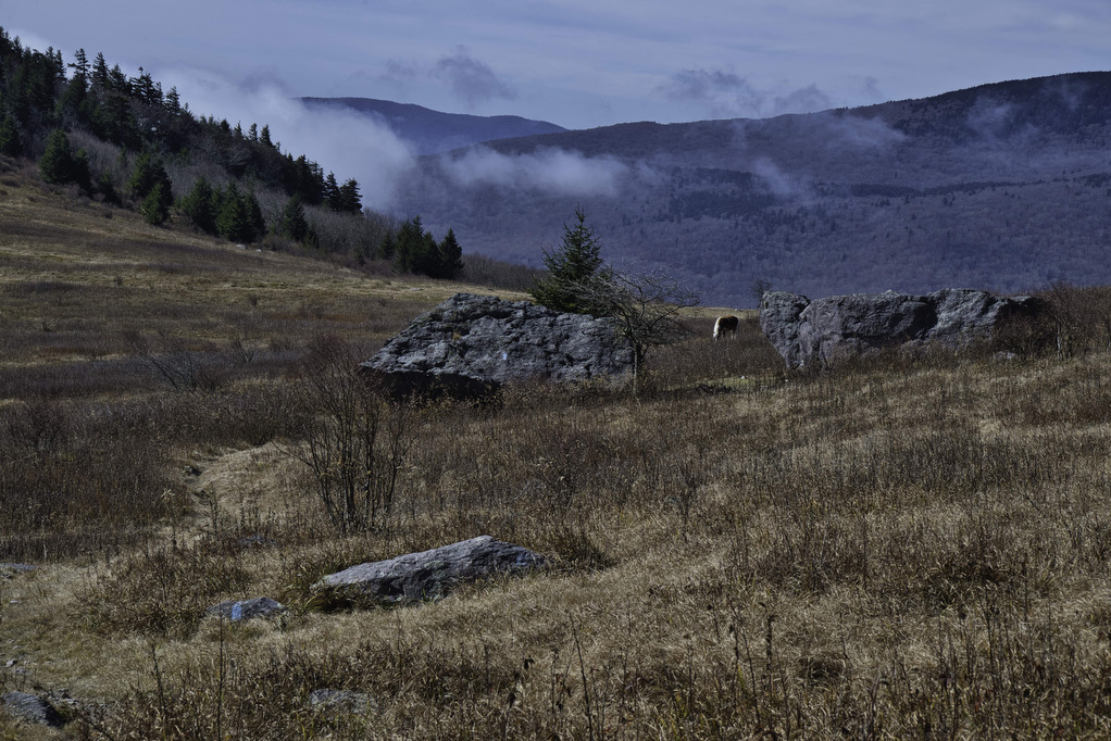
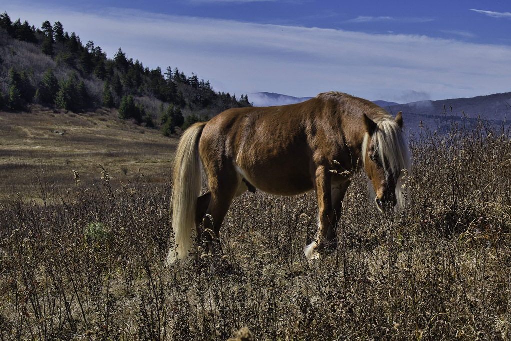
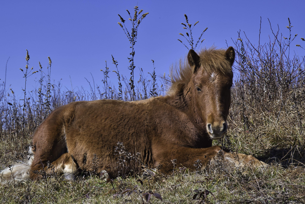
The AT enters the Lewis Fork Wilderness and for the next 2 miles the hike is a gradual, steady climb. At 2.8 miles, an unmarked spur trail to the right leads to a meadow with open views to the east. The famous wild ponies are known to frequent this area. The AT soon enters an evergreen forest of spruce and fir trees. Moss covered rocks and fallen trees give this section of the AT a surreal appearance—especially on a misty morning.
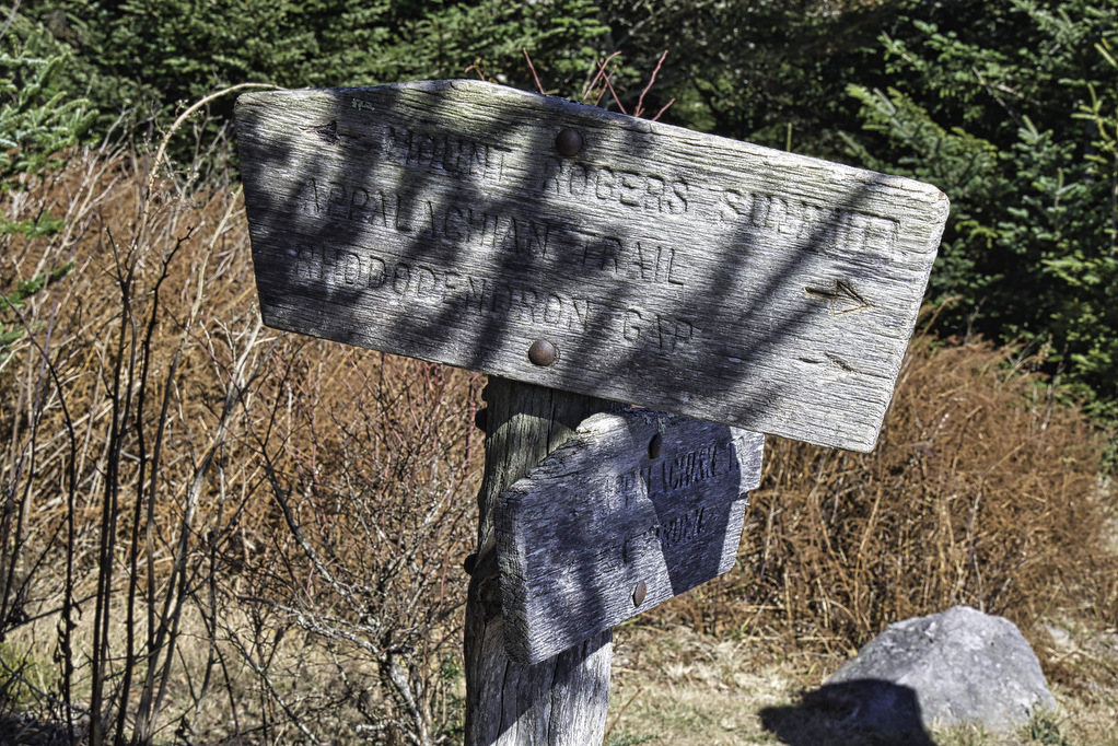
Reach the junction of the Mount Rogers summit trail at 4 miles. The blue-blazed trail passes through spruce and Fraser fir as it climbs to the summit. The tree-lined summit doesn’t have a view, but at 5,722-feet it’s the highest peak in Virginia. Find the USGS summit marker and enjoy lunch or a snack.
Retrace your steps down the blue-blazed trail and turn right on the AT heading south to return to Elk Garden and your vehicle.
Hike Photos:
Click on an image below for an enlarged view.




Beer Pairing:
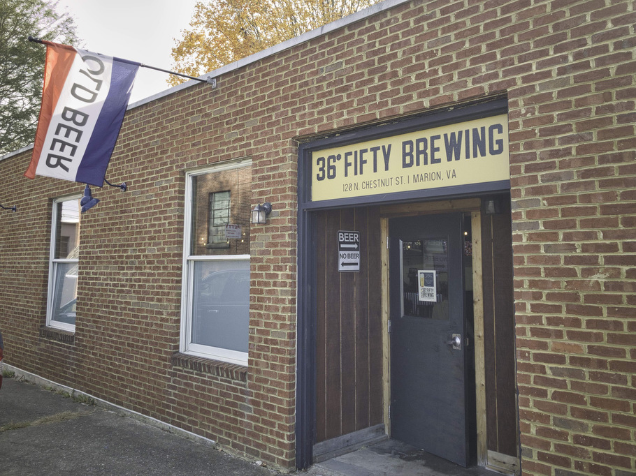
36° Fifty Brewing in Marion is about 30 minutes from the trailhead. This micro-brewery has indoor seating, occasional food trucks, and six taps. They are only open on Saturdays.
Kathy liked Prohibition Lager (6.5% ABV • 30 IBU), an American-style pale lager. Brewed with local corn and grain, it’s crisp and refreshening. Pete enjoyed the Irish Stout (5.5% ABV) combining a silky-smooth finish with toffee and coffee undertones. There’s almost no bitterness, just a suitably creamy finish.

Hike and drink responsibly. Never drink and drive. Stay safe, be responsible, and leave no trace.

