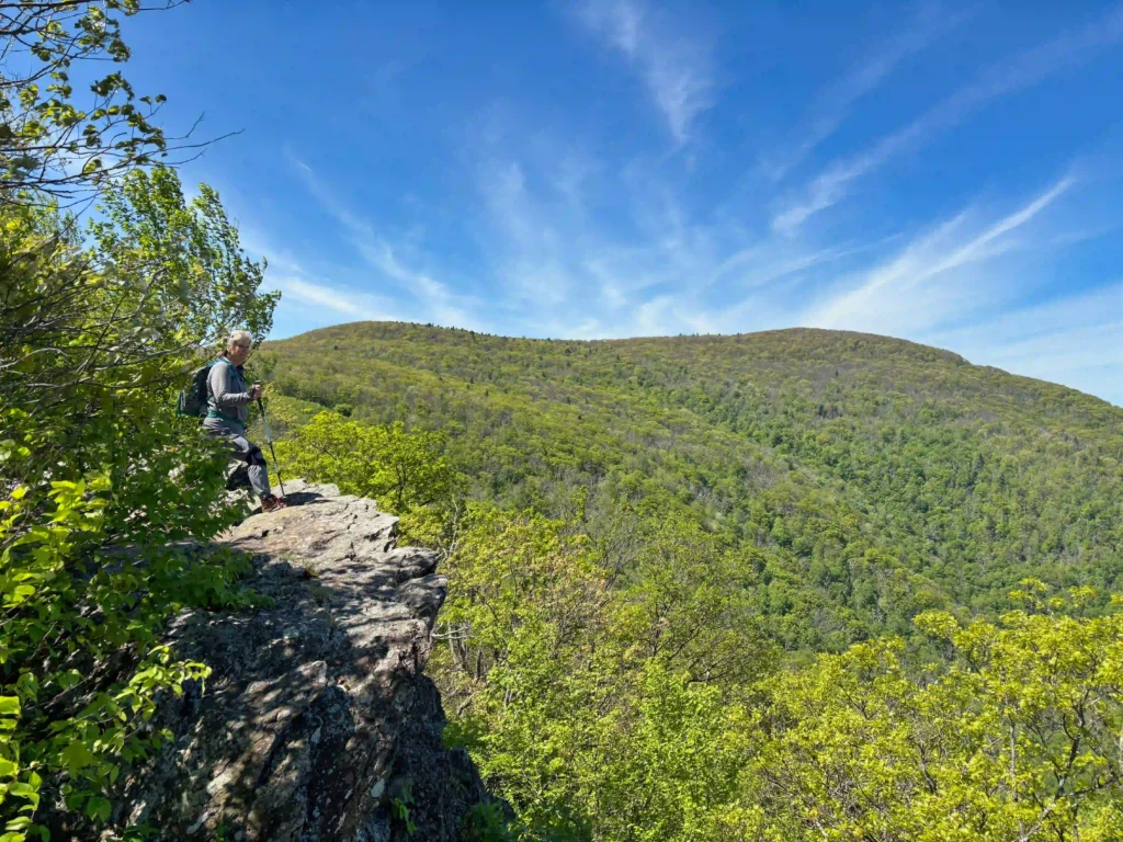
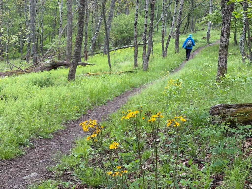
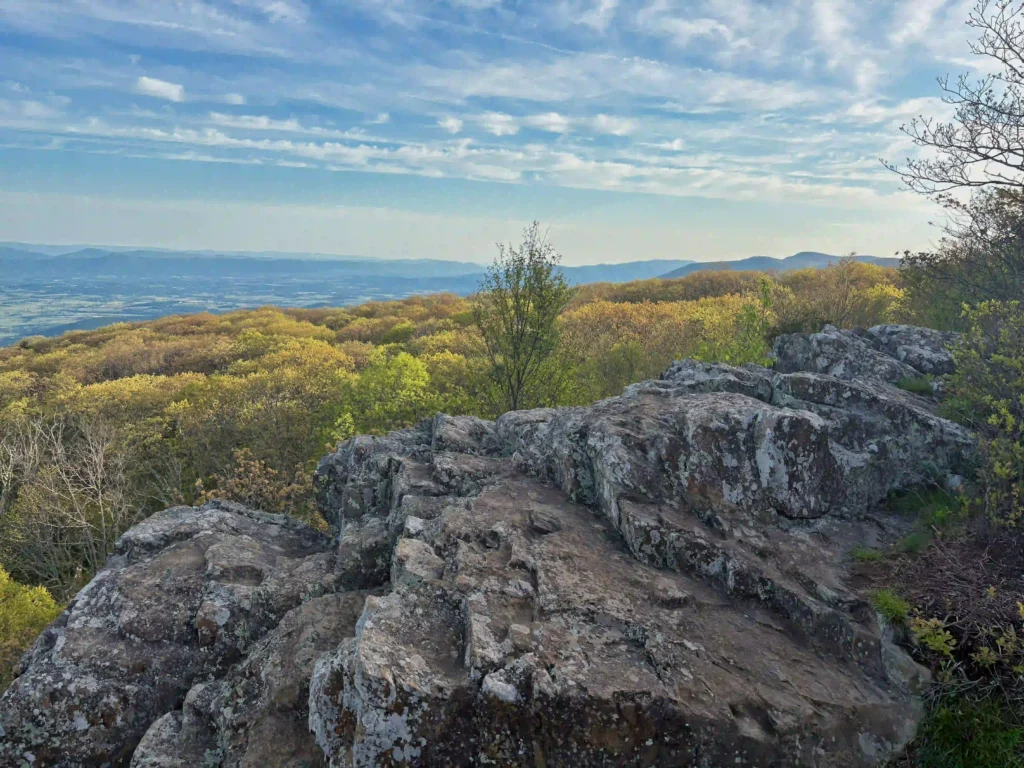
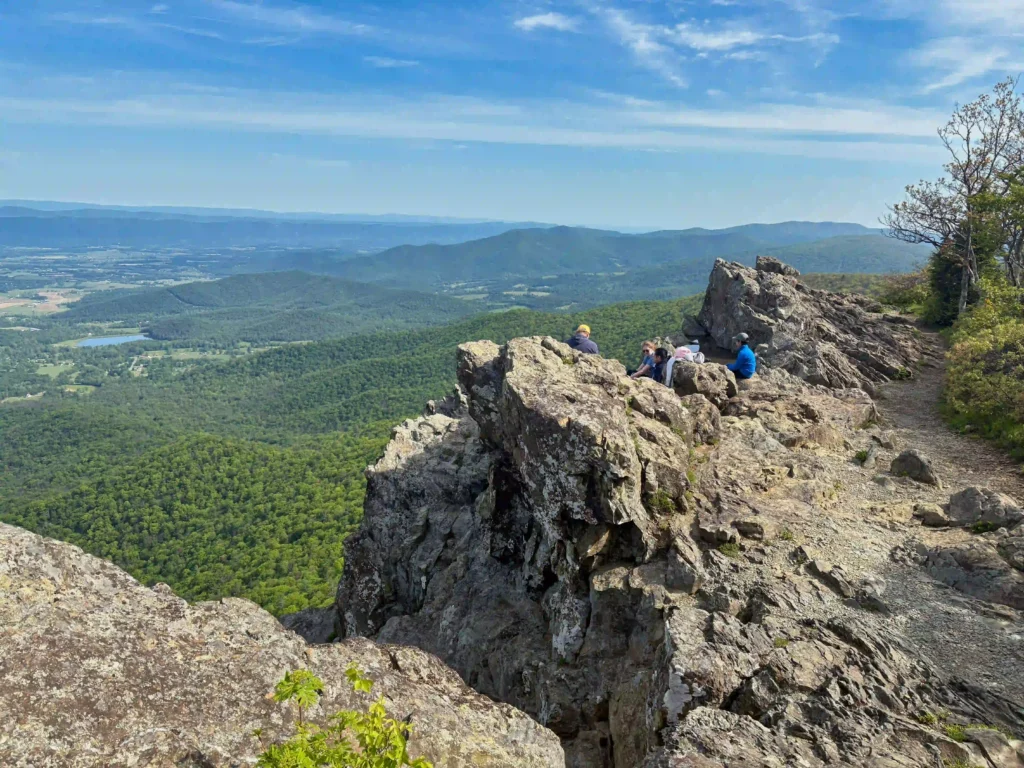
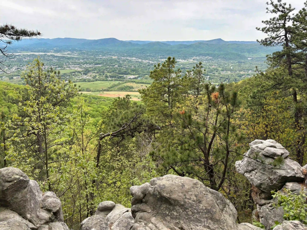
great views

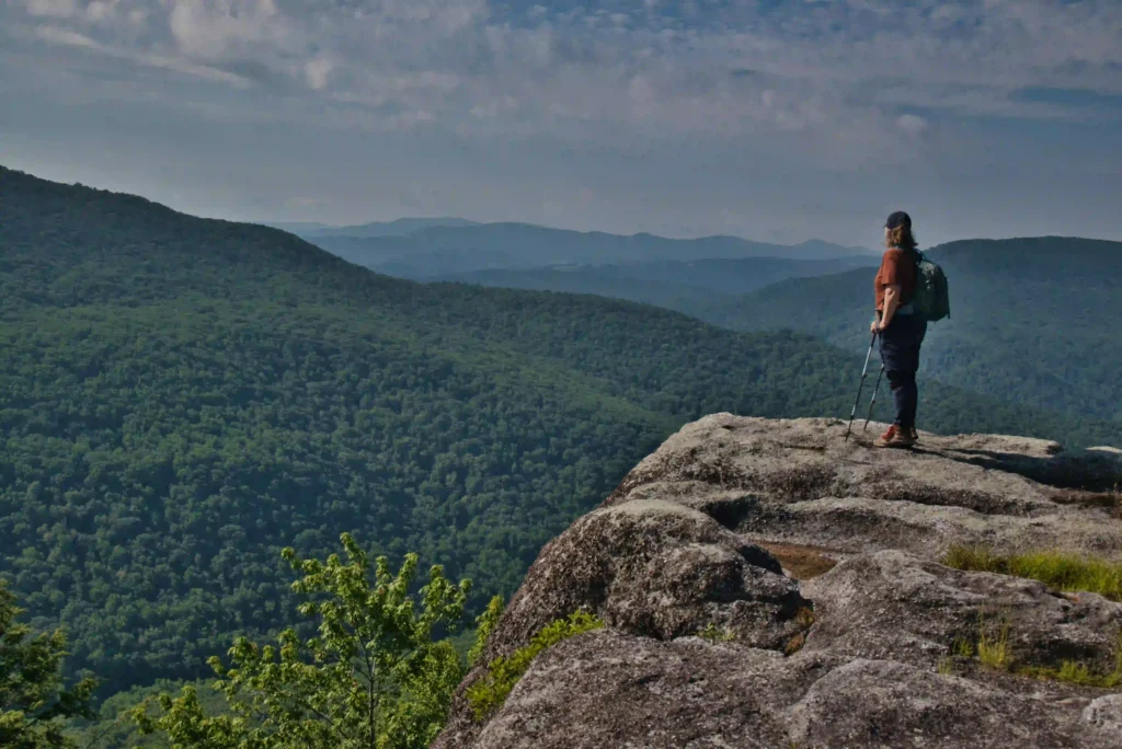
AT, Wilburn Ridge & Crest Loop

Trail Map: The Hike: This fantastic hike has a little bit of everything: sweeping vistas, wild ponies, free range cattle, rhododendrons, rock scrambles, stream crossings, and dense forests. It’s one of our all-time favorites. The trails are well marked and well maintained. Several trails are combined to form this loop so download the AllTrails map […]

AT, Wilburn Ridge & Crest Loop Read More »

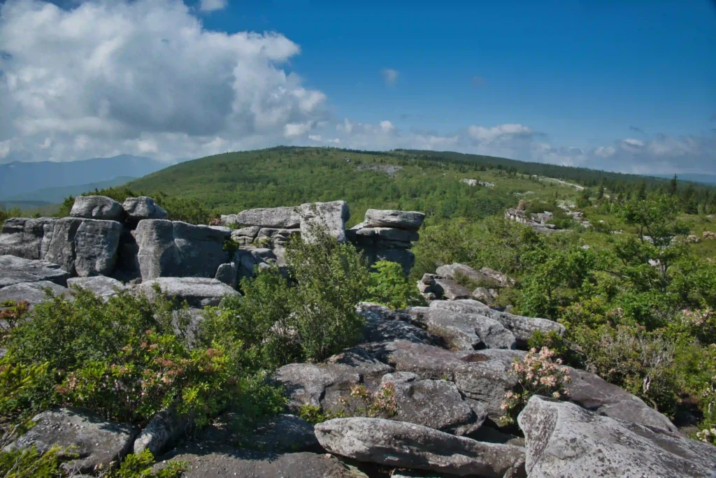
Rohrbaugh Trail: Dolly Sods

Trail Map: The Hike: Dolly Sods puts the wild and wonderful in West Virginia. This unique wilderness is home to bog and heath ecosystems more commonly found in southern Canada. This area is a true wilderness. A trailhead sign warns: “Don’t expect cell phone service and be prepared to navigate unmarked trails and cross waterways

Rohrbaugh Trail: Dolly Sods Read More »

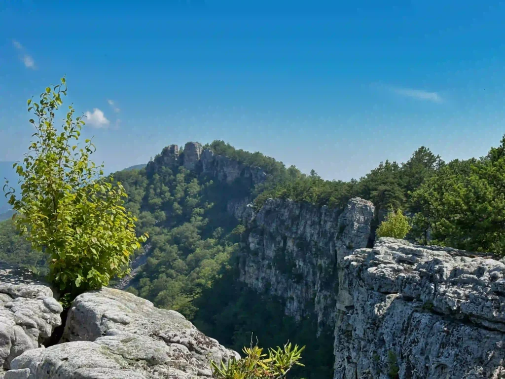
Seneca Rocks

Trail Map: The Hike: The rocky summit of Seneca Rocks dominates the landscape. This has been a popular destination for generations. Seneca Rocks National Recreation Area (NRA) contains the highest peak in West Virginia with some of the best rock climbing in the east. This is a very popular destination and the steep trail to

Seneca Rocks Read More »

Big Hump & Little Hump Balds

Trail Map: The Hike: This Appalachian Trail section hike reaches two bald summits—Little Hump and Big Hump. The road to the trailhead is gravel/dirt for the last two miles or so. There are some deep ruts and washed-out areas. Our AWD Subaru had no problem. The parking area is on the left, a gate blocks

Big Hump & Little Hump Balds Read More »

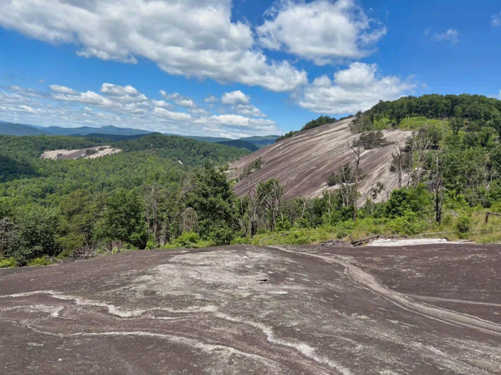
Big Firescald Knob

Trail Map: The Hike: This section hike on the Appalachian Trail straddles the North Carolina/Tennessee state line. The open ridge provides spectacular views of both states. The road to the trailhead is paved for a few miles and then turns to gravel/dirt. We had no problems with our AWD Subaru and it should be passable

Big Firescald Knob Read More »