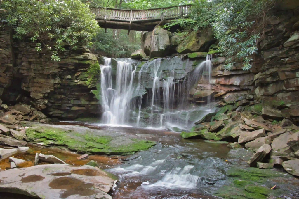
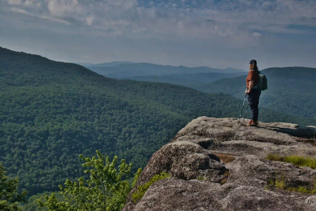
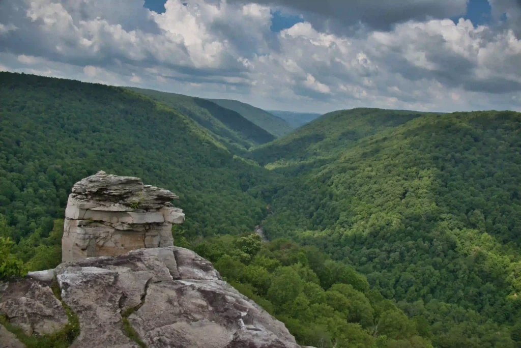
Dog Friendly

Lindy Point

Trail Map: The Hike: This short, easy hike has an excellent rewards to effort ratio. The overlook is 3,000 feet above the Blackwater Canyon with expansive views. In early July, flowering mountain laurel and rhododendron line the trail. This is a popular spot for sunrise and sunset. Hike Photos: Beer Pairing: Blackwater Lodge is just […]

Lindy Point Read More »

Elakala Falls

ala Trail and Falls Trail Map: The Hike: This park is best known for Blackwater Falls. Elakala Falls, conveniently located near the park lodge, offers an opportunity to visit the falls from above and below. The waterfall is the highlight of this hike—most people just hike to the falls. A footbridge leads over the falls

Elakala Falls Read More »

AT: Audie Murphy Monument

Trail Map: The Hike: This hike on the Appalachian Trail to the Audie Murphy Monument approaches from the north. The monument can also be reached on the AT from the south. Both routes are about 8 miles with similar elevation gains. Hiking southbound on the AT has a longer section on the ridge. From the

AT: Audie Murphy Monument Read More »

Buzzard Rock at Read Mountain

Trail Map: The Hike: This hike to Buzzard Rock has some of the best views in the Roanoke area. Read Mountain is the long, undeveloped ridge looming above the Roanoke Valley. The park lands, protected by a conservation easement, were donated to Roanoke County and the hiking trails were built by volunteers. The 243-acre park

Buzzard Rock at Read Mountain Read More »

Turtle Island Loop

Trail Map: The Hike: We have received a few emails requesting shorter, easier hikes. This hike loops through a hardwood forest where interpretive signs tell how the forest changes and adapts throughout time. A footbridge leads to Turtle Island with some nice lake and mountain views. The trail returns back to the parking area. Directly

Turtle Island Loop Read More »

Bush Mill Preserve Trail

Trail Map: The Hike: This short, easy hike leads to a viewing platform overlooking Bush Mill Stream. The trail is well marked and well maintained.  From the small parking area, follow the blue-blazed Deep Landing Trail as it gradually descends down to the stream. The preserve is rarely crowded, creating an ideal wildlife-watching experience. Several

Bush Mill Preserve Trail Read More »

Laurel Point Trail

Trail Map: The Hike: Westmoreland is one of the original Virginia state parks and is listed on the National Register of Historic Places. The park is a great location for birdwatching. Bald eagles, ospreys, kingfishers, great blue herons, common terns, and green herons are frequently spotted in the park. The Laurel Point Trail is well

Laurel Point Trail Read More »

Belle Isle State Park Loop

Trail Map: The Hike: Belle Isle State Park in Lancaster (not be confused with Belle Isle in Richmond) is located on the banks of the Rappahannock River in Virginia’s Northern Neck. This area is a bird watcher’s paradise. We spotted several blue herons, osprey, and hawks. Bald eagles nest in this area but we didn’t

Belle Isle State Park Loop Read More »