Dolly Sods: Blackbird Knob, Harman, Rocky Ridge Loop
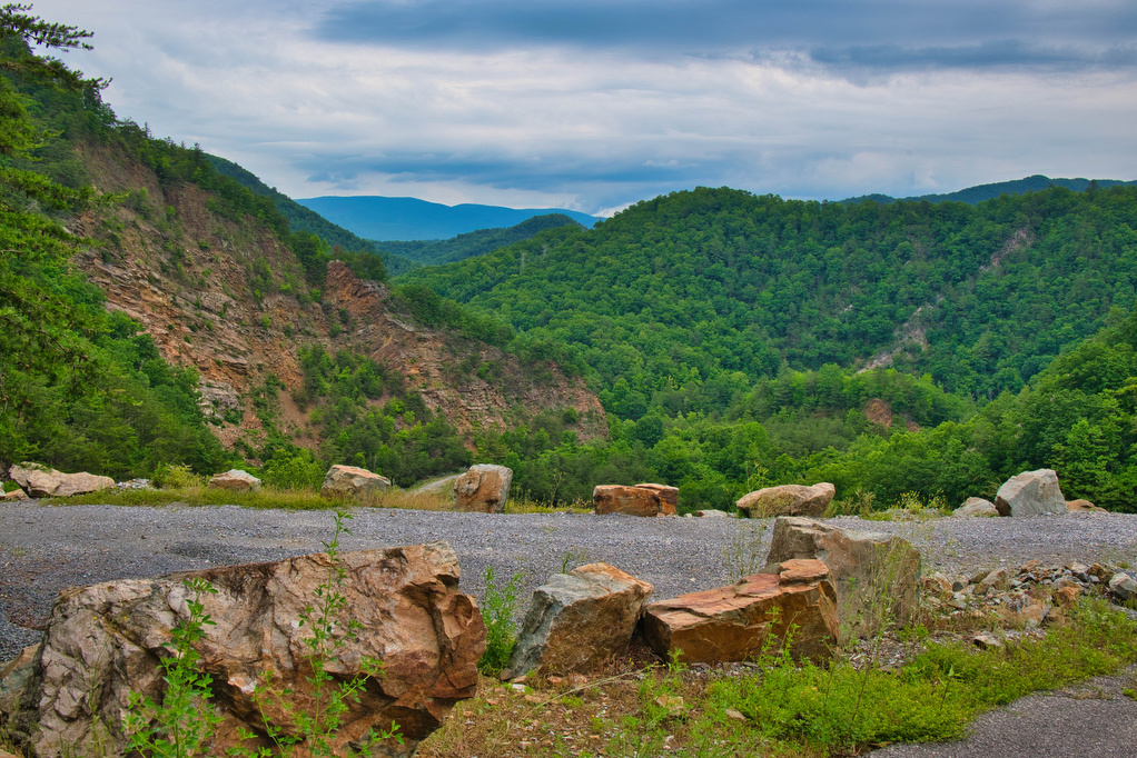
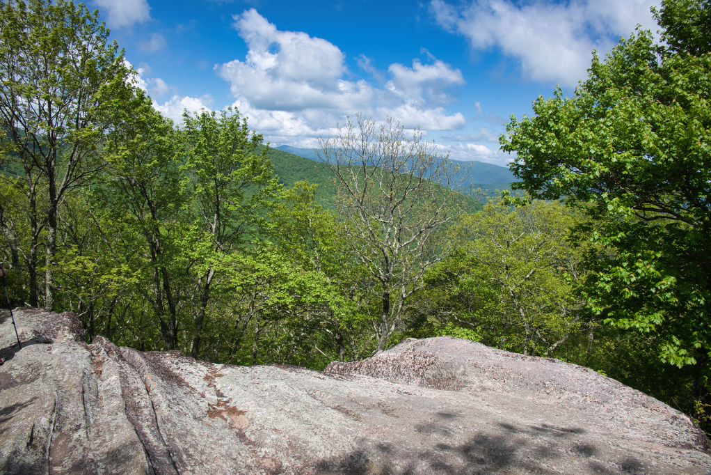
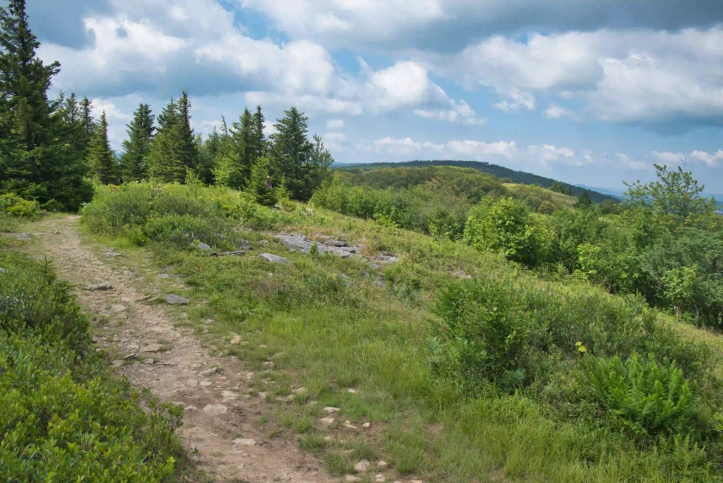
Trail Map: The Hike: Dolly Sods is one of our favorite parts of WV and this hike has everything the Sods is famous for: views, scenery, unique ecosystem—and mud. Despite lots of rain in recent weeks, the trails in this loop weren’t as muddy as we were expecting. We also weren’t expecting such an incredible […]
Dolly Sods: Blackbird Knob, Harman, Rocky Ridge Loop Read More »