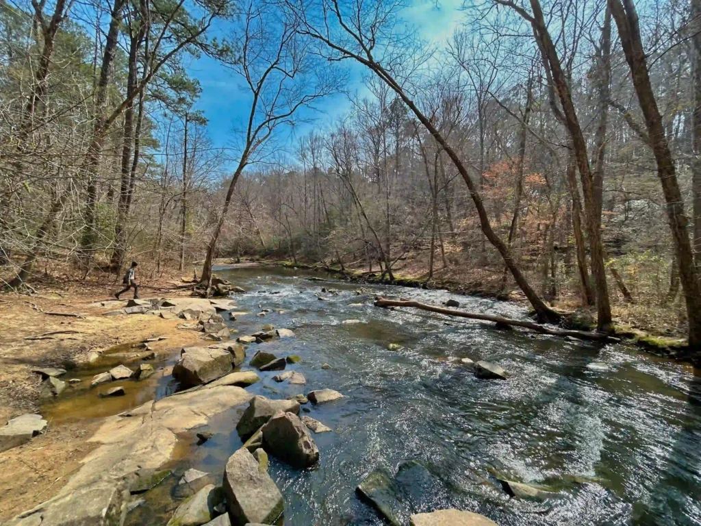
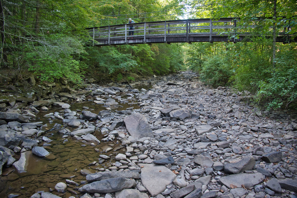
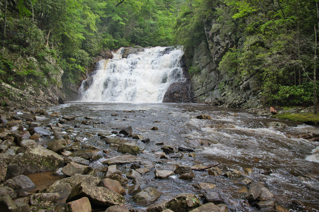
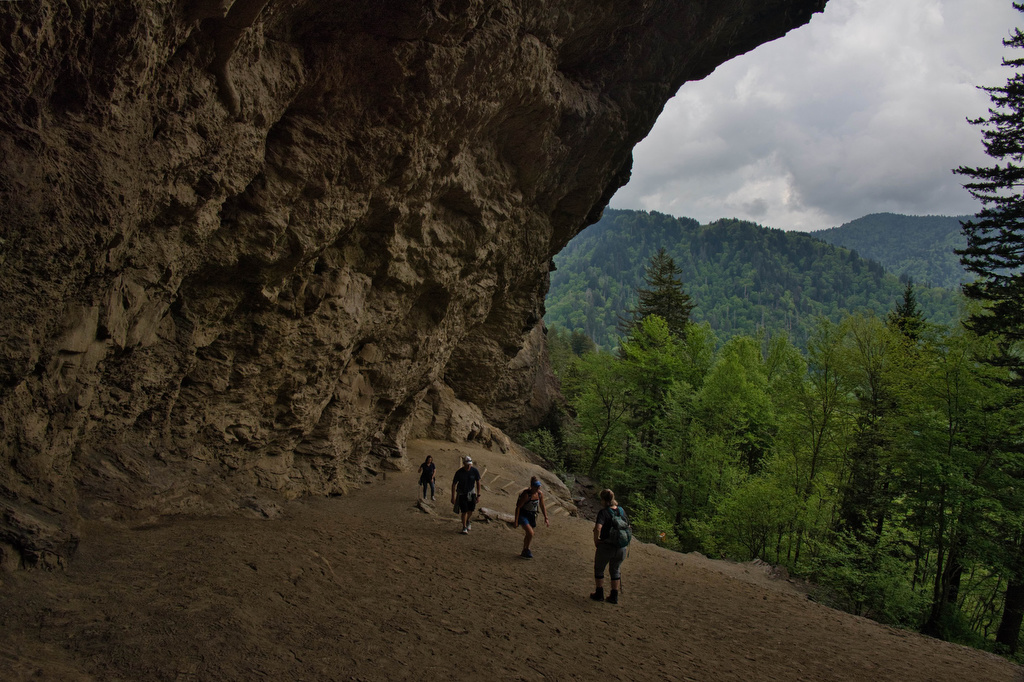
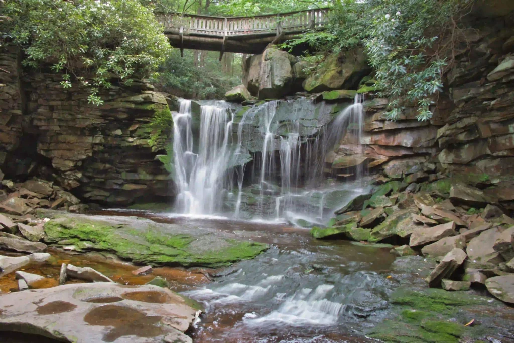
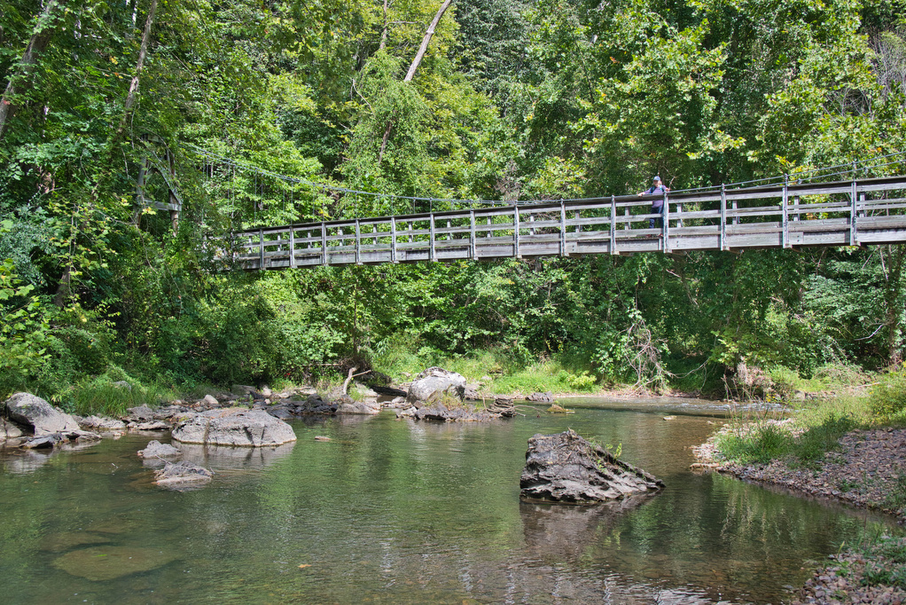
stream crossing

Jarman Gap-Turk Mt. Loop

Trail Map: The Hike: The popular trails in Shenandoah National Park get crowded on summer weekends. This hike is a hidden gem. It has some solitude, lots of stream crossings, and great views from the summit of Turk Mountain. A cement post near Skyline Drive marks the trailhead. Pass through the yellow posts and chain […]

Jarman Gap-Turk Mt. Loop Read More »

Watauga Lake & Dam

Trail Map: This is a nice walk in the woods on the AT with some decent mountain and lake views. The AT crosses over the Watauga Dam which spans the Watauga River Gorge. The AT enters the Shook Branch Recreation Area near the beach. Follow the AT northbound through a hardwood forest with several nice

Watauga Lake & Dam Read More »

Laurel Fork Falls

Trail Map: The Hike: There are two hikes on the AT to Laurel Fork Falls—this is the shorter one. The other hike is a bit further north and follows the AT southbound for 2.5 miles. This hike follows the AT northbound. We planned three AT hikes on one day, so we got an early start.

Laurel Fork Falls Read More »

Alum Cave Bluff Trail

Trail Map: The Hike: We arrived before 8am on a Tuesday in mid-May and parking was filling up quickly. GSMNP charges a $5 per day parking fee. This parking area doesn’t sell parking permits, we purchased one at the Sugarlands Visitor Center. This is a popular hike and parking areas fill up quickly. The trail

Alum Cave Bluff Trail Read More »

Profile Trail to Calloway Peak

Trail Map: The Hike: Grandfather Mountain has been on our hiking radar for a long time. The hike exceeded all of our expectations. First up: this is not an easy hike. The hike is nearly four steep miles of elevation gain. The rocky trail, switchbacks, 600+ wood and stone steps, rock scrambles, and ladders make

Profile Trail to Calloway Peak Read More »

Honey Creek Loop

Trail Map: The Hike: This technical hike has a little bit over everything, waterfalls, stream crossings, rock scrambles, wildflowers, views, and caves. It has been described on AllTrails as “the hikes hike” and we agree. Navigating this hike can be challenging. The trail is well marked; however, it winds over, under, and around rocks and

Honey Creek Loop Read More »

Devil’s Bathtub

Trail Map: The Hike: Devil’s Bathtub has become a popular bucket list hike. Parking has been always been a problem. The trailhead is located at the end of Forest Road 619—a single lane dirt road. To address parking issues, Scott County created a large parking area (with restrooms) on county road 619, about 1 mile

Devil’s Bathtub Read More »