Shenandoah Inn to Inn: Day 1
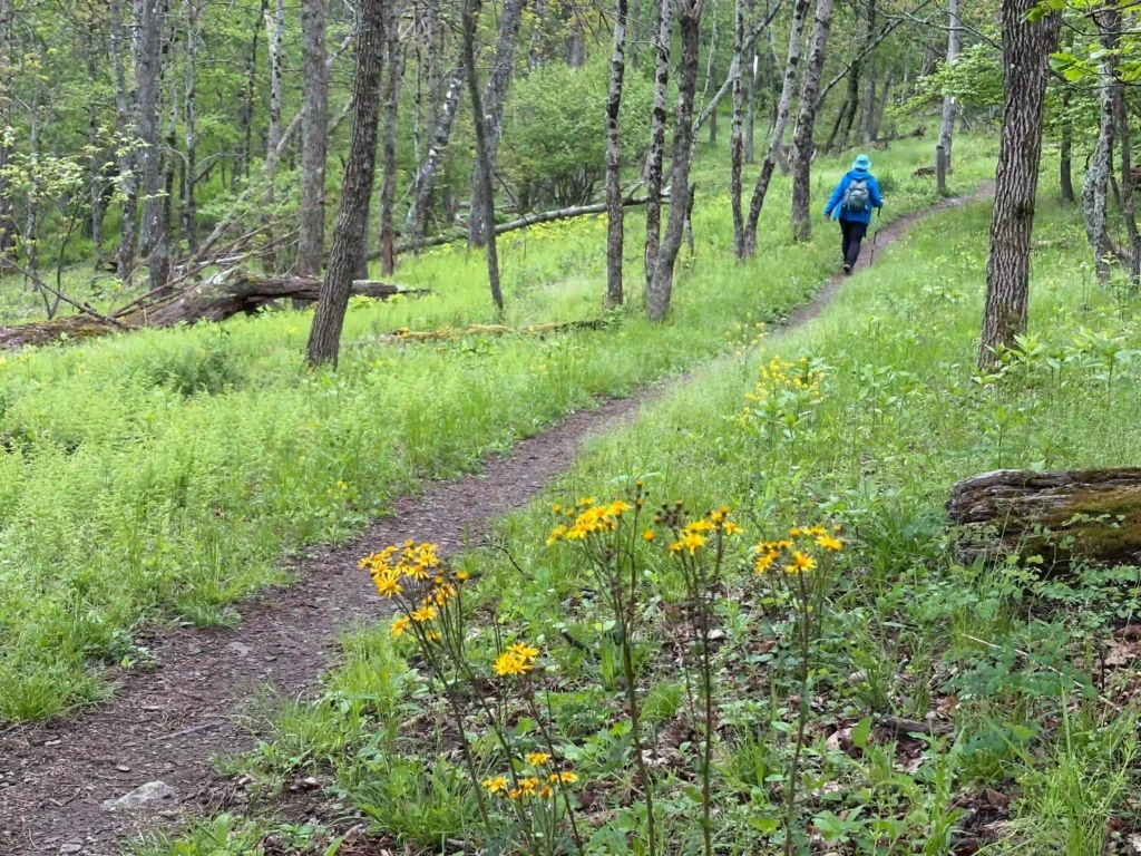
Trail Map: The Hike: The first day of our inn to inn hike on the AT in Shenandoah National Park begins at Swift Run Gap and US Route 33. See the logistics post for details on shuttle services and vehicle parking. The AT crosses US 33 on Skyline Drive and then veers into the forest […]
Shenandoah Inn to Inn: Day 1 Read More »