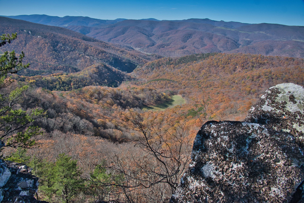
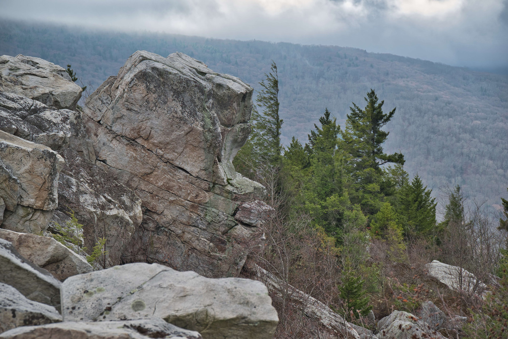
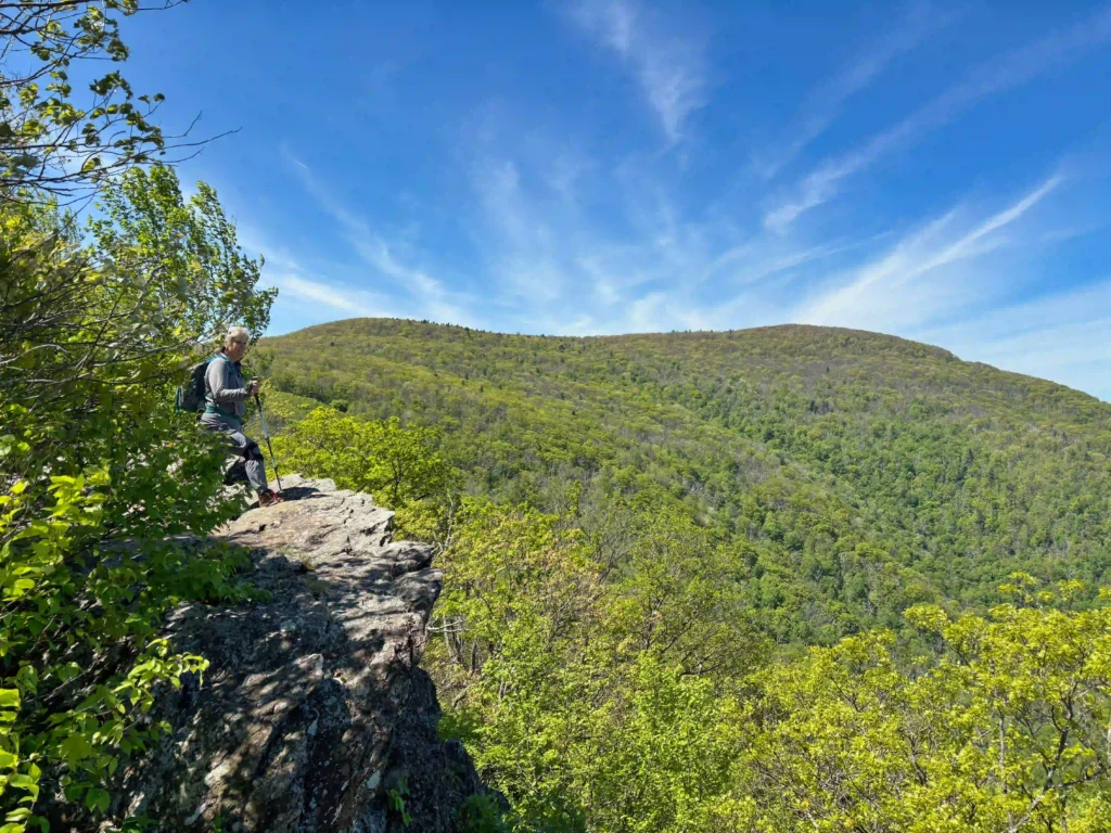
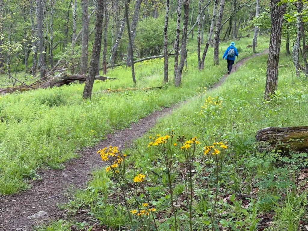
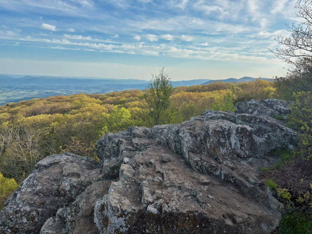
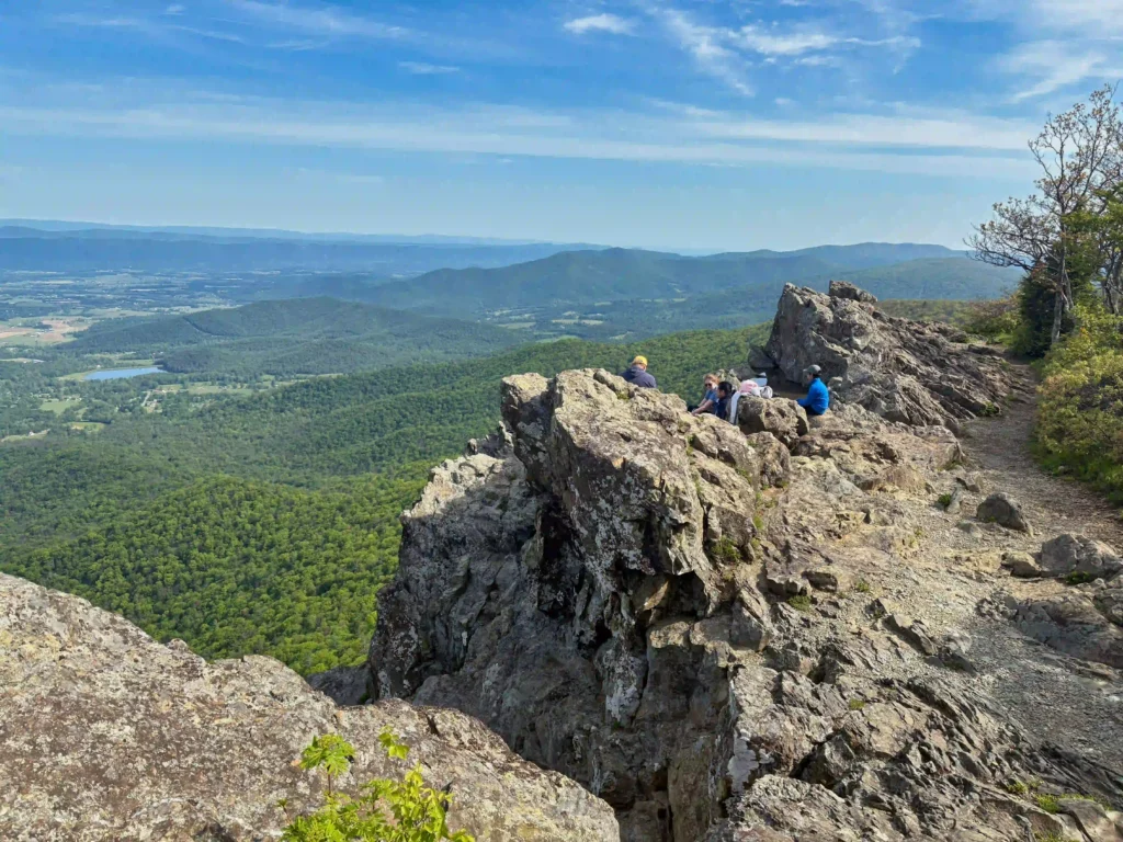
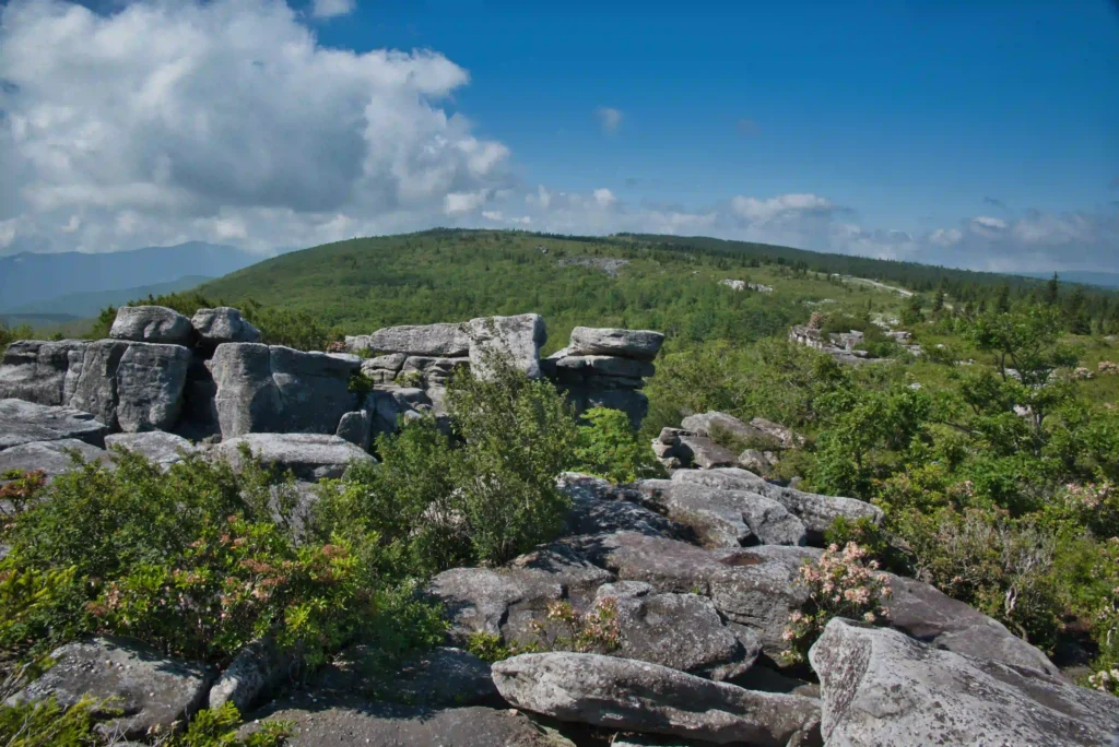
rock formations

Sunset Rocks & Appalachian Trail

Trail Map: The Hike: We are working our way through the AT—one state at a a time. This loop hike has almost 4 AT miles, passes by the traditional half-way point on the AT, has a half-mile rock scramble, and finishes with some history and ice cream at the state park. The trailhead in Pine […]

Sunset Rocks & Appalachian Trail Read More »

Laurel Fork Falls

Trail Map: The Hike: There are two hikes on the AT to Laurel Fork Falls—this is the shorter one. The other hike is a bit further north and follows the AT southbound for 2.5 miles. This hike follows the AT northbound. We planned three AT hikes on one day, so we got an early start.

Laurel Fork Falls Read More »

Alum Cave Bluff Trail

Trail Map: The Hike: We arrived before 8am on a Tuesday in mid-May and parking was filling up quickly. GSMNP charges a $5 per day parking fee. This parking area doesn’t sell parking permits, we purchased one at the Sugarlands Visitor Center. This is a popular hike and parking areas fill up quickly. The trail

Alum Cave Bluff Trail Read More »

Big Falls and the Pinnacle

Trail Map: The Hike: This easy trail has nice river and waterfalls views. The trail is well marked and well maintained. The hike begins with a swinging bridge across Big Cedar Creek. The trail soon becomes a wide, gravel path and passes beside the creek. Wildflowers line the trail with numerous nice creek views. Hikers

Big Falls and the Pinnacle Read More »

Charit Creek Trail

Trail Map: The Hike: The Charit Creek Trail is a short section of the Sheltowee Trace, a 319-mile National Recreation Trail that spans the Daniel Boone National Forest and Big South Fork National Recreation Area in Kentucky and Tennessee. The trail also leads to Charit Creek Lodge, a rustic and historic wilderness hike-in lodge located

Charit Creek Trail Read More »

Hazard Cave and Natural Bridge Loop

Trail Map: The Hike: This hike combines two of the park’s best short hikes into a fun loop. The trailhead is located near the Recreation Hall. Begin on the white-blazed Hazard Cave trail and enter the hardwood forrest. Pass a wood and stone bridge built by the Civilian Conservation Corp in the 1930s—the park honors

Hazard Cave and Natural Bridge Loop Read More »

Honey Creek Loop

Trail Map: The Hike: This technical hike has a little bit over everything, waterfalls, stream crossings, rock scrambles, wildflowers, views, and caves. It has been described on AllTrails as “the hikes hike” and we agree. Navigating this hike can be challenging. The trail is well marked; however, it winds over, under, and around rocks and

Honey Creek Loop Read More »