State Parks

Hazard Cave and Natural Bridge Loop

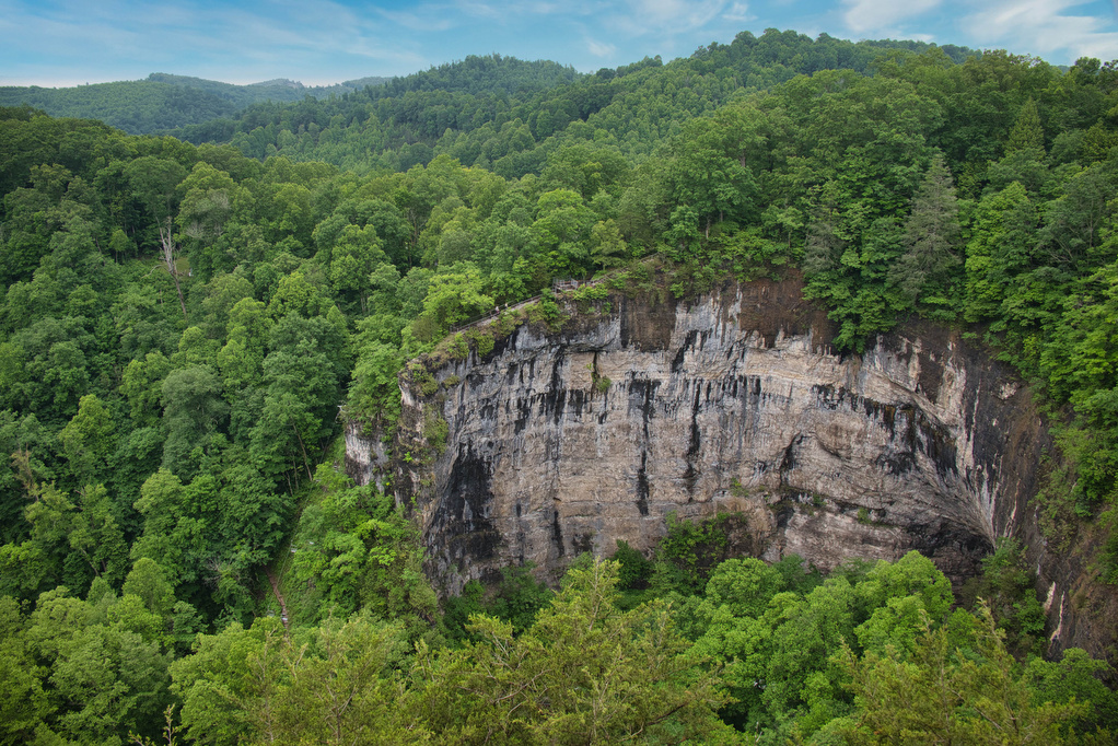
Trail Map: The Hike: This hike combines two of the park’s best short hikes into a fun loop. The trailhead is located near the Recreation Hall. Begin on the white-blazed Hazard Cave trail and enter the hardwood forrest. Pass a wood and stone bridge built by the Civilian Conservation Corp in the 1930s—the park honors […]

Hazard Cave and Natural Bridge Loop Read More »

AT, Wilburn Ridge & Crest Loop

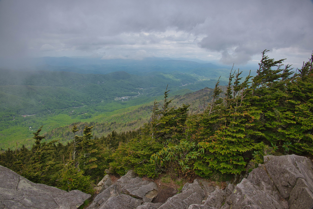
Trail Map: The Hike: This fantastic hike has a little bit of everything: sweeping vistas, wild ponies, free range cattle, rhododendrons, rock scrambles, stream crossings, and dense forests. It’s one of our all-time favorites. The trails are well marked and well maintained. Several trails are combined to form this loop so download the AllTrails map

AT, Wilburn Ridge & Crest Loop Read More »

Powhatan State Park Loop

The Hike: This hike combines several short trails into a pleasant trip through wildflowers, meadows and forests with some nice James River views. Stop at the Visitor Center to pick up a trail map. From the Trailhead parking area, follow the tan-blazed Turkey Trail as is meanders beside a meadow before entering the forest.  Powhatan

Powhatan State Park Loop Read More »

Shenandoah River State Park Loop

The Hike: Shenandoah River State Park is located just across US 340 from its national park cousin. The park has 5 miles of Shenandoah River South Fork shoreline and over 25 miles of hiking trails. We visited on a rainy day in late March when the Virginia bluebells were at their peak. This loop hike

Shenandoah River State Park Loop Read More »