Kid Friendly

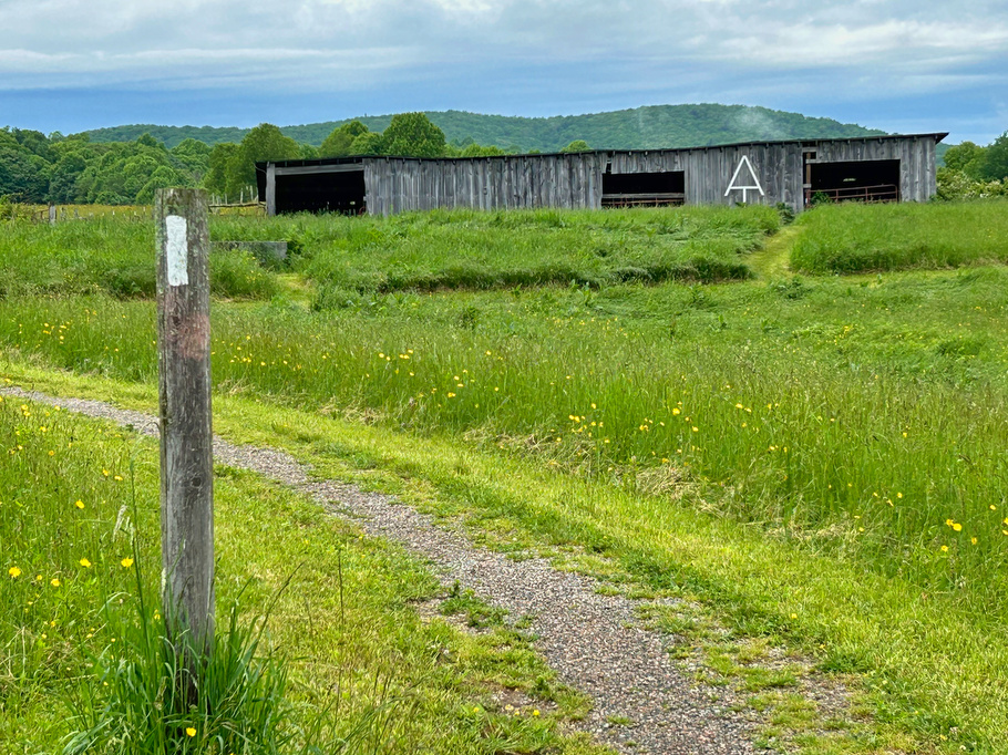
AT: Cross Mountain & Osborne Farm

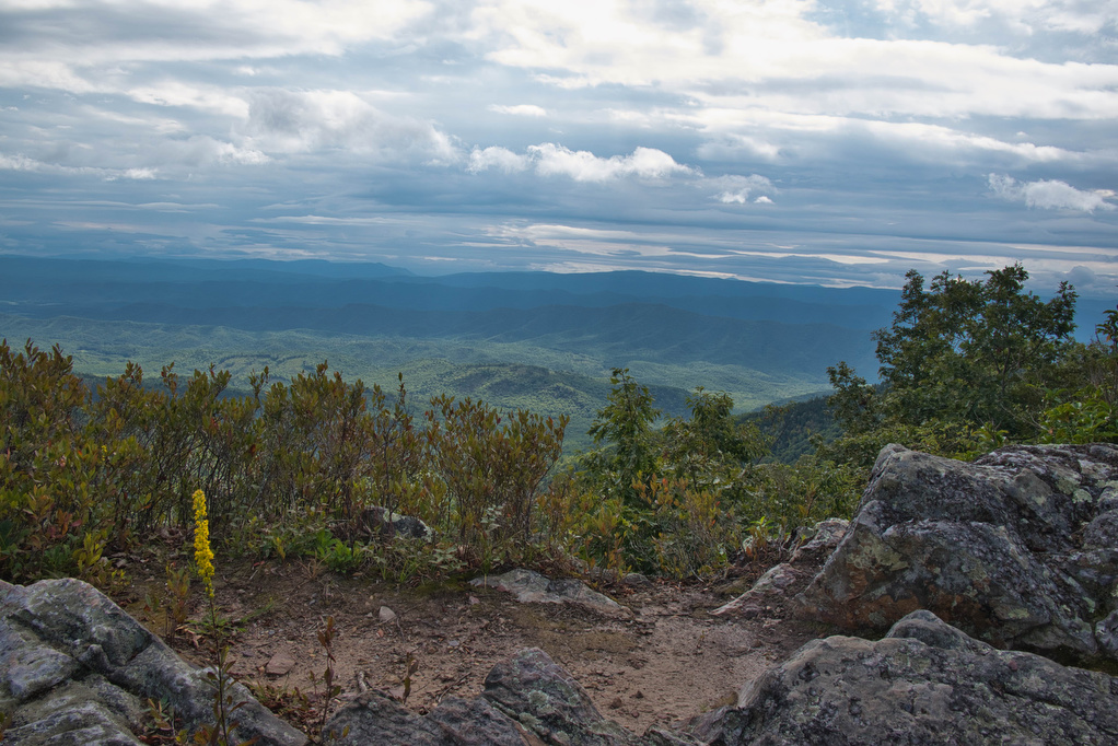
Trail Map: The Hike: This hike is an easy walk on the Appalachian Trail through mountaintop pastures, with scenic views of surrounding mountains. A half-mile section of the trail is ADA compliant and wheelchair accessible. The AT winds through several pasture areas before entering the forest at just under one mile.  We were greeted at […]

AT: Cross Mountain & Osborne Farm Read More »

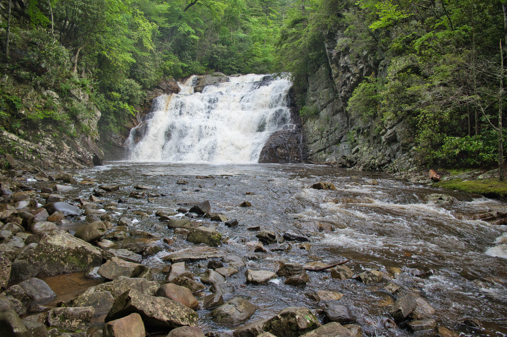
Laurel Fork Falls

Trail Map: The Hike: There are two hikes on the AT to Laurel Fork Falls—this is the shorter one. The other hike is a bit further north and follows the AT southbound for 2.5 miles. This hike follows the AT northbound. We planned three AT hikes on one day, so we got an early start.

Laurel Fork Falls Read More »

Flat Rock

Trail Map: The Hike: This easy, short hike is great for kids of all ages. Flat Rock has great views of the Linville Valley and Grandfather Mountain. Interpretive signs tell the story of the plants, trees, animals, and geological features of the forest.  Hike Photos: Click on an image below for an enlarged view. Beer

Flat Rock Read More »

Rough Ridge on the Tanawha Trail

Trail Map: The Hike: This short hike on the Tanawha Trail has some amazing views. It’s rocky and steep, but the views are well worth the effort. The trail leads through a dense thicket of mountain laurel and rhododendron and reaches a boardwalk and wood observation platform. The Rough Ridge Lookout has some of the

Rough Ridge on the Tanawha Trail Read More »

Big Falls and the Pinnacle

Trail Map: The Hike: This easy trail has nice river and waterfalls views. The trail is well marked and well maintained. The hike begins with a swinging bridge across Big Cedar Creek. The trail soon becomes a wide, gravel path and passes beside the creek. Wildflowers line the trail with numerous nice creek views. Hikers

Big Falls and the Pinnacle Read More »

Hazard Cave and Natural Bridge Loop

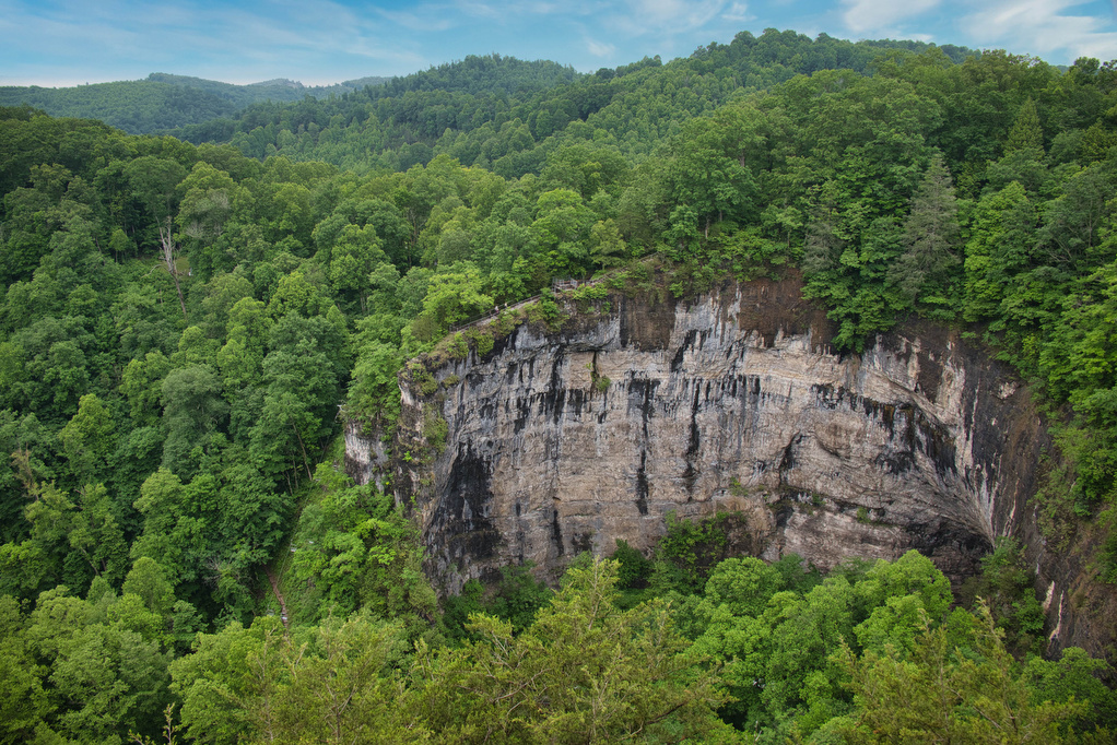
Trail Map: The Hike: This hike combines two of the park’s best short hikes into a fun loop. The trailhead is located near the Recreation Hall. Begin on the white-blazed Hazard Cave trail and enter the hardwood forrest. Pass a wood and stone bridge built by the Civilian Conservation Corp in the 1930s—the park honors

Hazard Cave and Natural Bridge Loop Read More »

Seneca Rocks

Trail Map: The Hike: The rocky summit of Seneca Rocks dominates the landscape. This has been a popular destination for generations. Seneca Rocks National Recreation Area (NRA) contains the highest peak in West Virginia with some of the best rock climbing in the east. This is a very popular destination and the steep trail to

Seneca Rocks Read More »