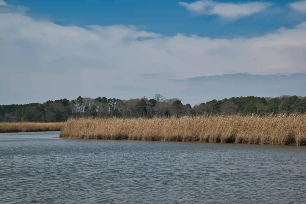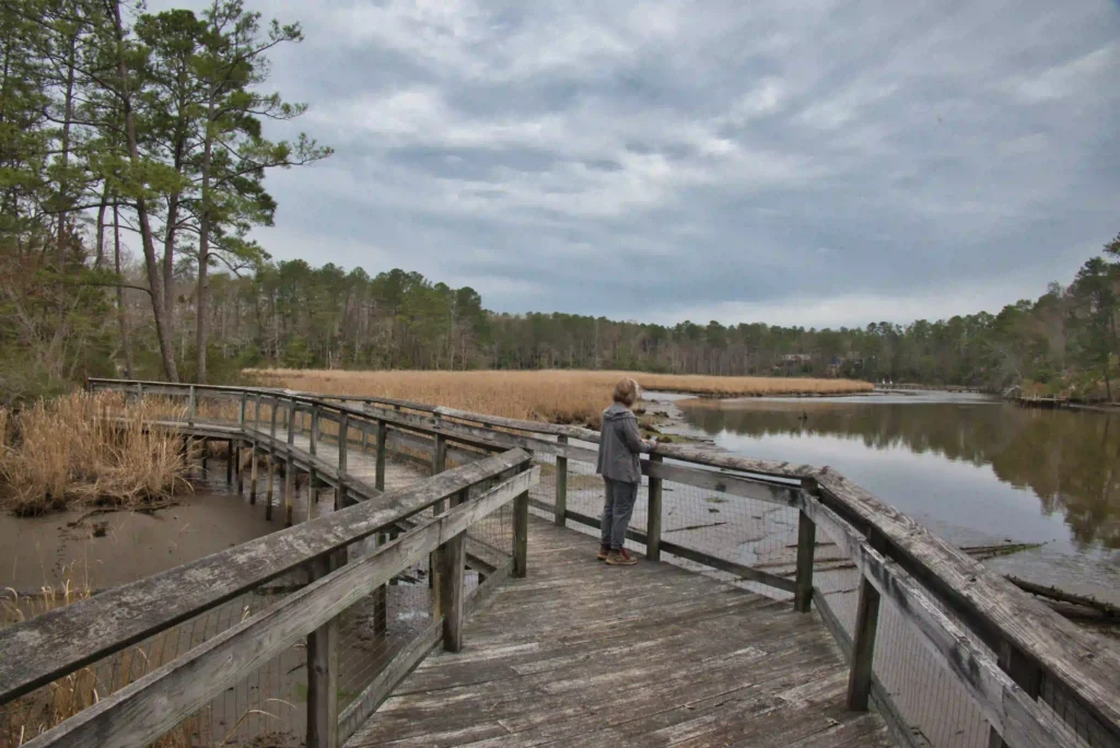
Bush Mill Preserve Trail
Trail Map: The Hike: This short, easy hike leads to a viewing platform overlooking Bush Mill Stream. The trail is well marked and well maintained. From the small parking area, follow the blue-blazed Deep Landing Trail as it gradually descends down to the stream. The preserve is rarely crowded, creating an ideal wildlife-watching experience. Several […]
Bush Mill Preserve Trail Read More »