National Forest

Torry Ridge & Sherando Lake Loop

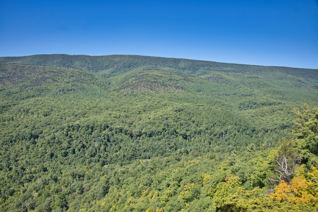
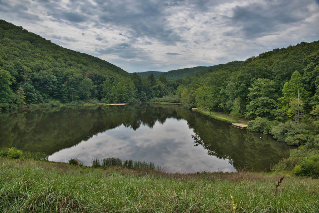
Trail Map: The Hike: This hike packs in a lot in just under ten miles: a waterfalls, mountain views, two lakes, and a ridge line. We hiked over Labor Day weekend so the water levels in the falls were a bit low and peak foliage is still weeks away—but this was still a great hike.

Torry Ridge & Sherando Lake Loop Read More »

Jackson River Gorge-Hidden Valley Loop

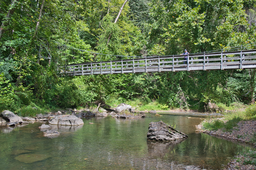
Trail Map: The Hike: This hike in the George Washington National Forest is a nice walk in the woods with some nice river views. The trail is marked and maintained; however, there are many interconnecting trails and some of the junctions were confusing. We suggest downloading the AllTrails map in advance as cell service in

Jackson River Gorge-Hidden Valley Loop Read More »

AT: Cross Mountain & Osborne Farm

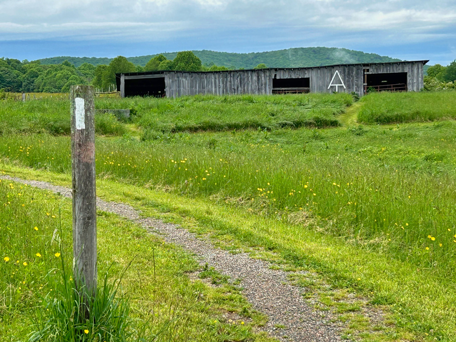
Trail Map: The Hike: This hike is an easy walk on the Appalachian Trail through mountaintop pastures, with scenic views of surrounding mountains. A half-mile section of the trail is ADA compliant and wheelchair accessible. The AT winds through several pasture areas before entering the forest at just under one mile.  We were greeted at

AT: Cross Mountain & Osborne Farm Read More »

Watauga Lake & Dam

Trail Map: This is a nice walk in the woods on the AT with some decent mountain and lake views. The AT crosses over the Watauga Dam which spans the Watauga River Gorge. The AT enters the Shook Branch Recreation Area near the beach. Follow the AT northbound through a hardwood forest with several nice

Watauga Lake & Dam Read More »

Laurel Fork Falls

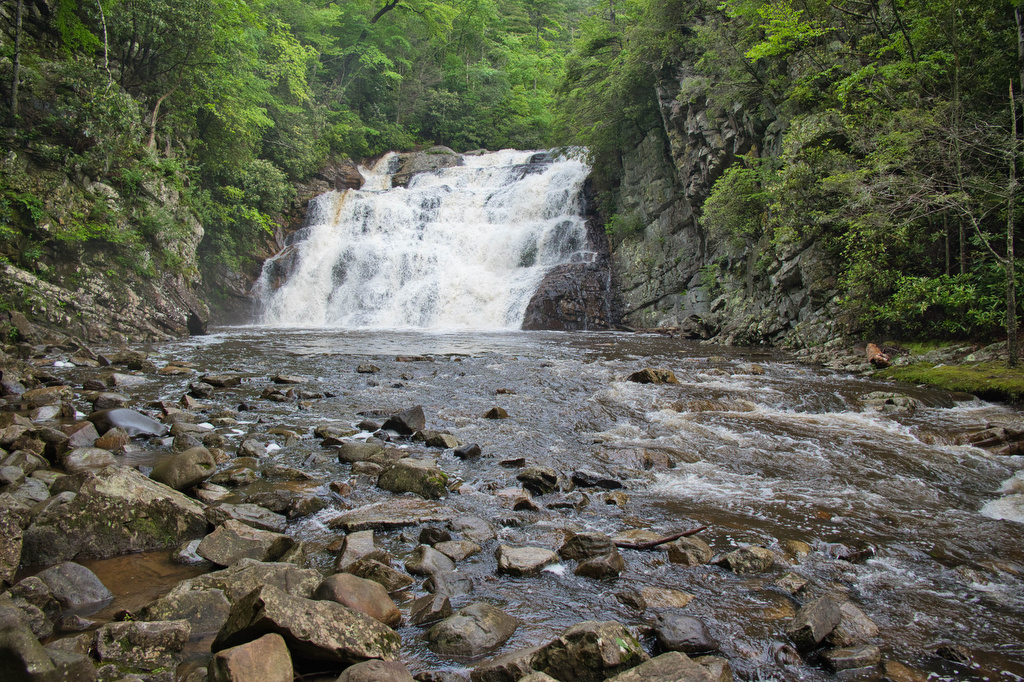
Trail Map: The Hike: There are two hikes on the AT to Laurel Fork Falls—this is the shorter one. The other hike is a bit further north and follows the AT southbound for 2.5 miles. This hike follows the AT northbound. We planned three AT hikes on one day, so we got an early start.

Laurel Fork Falls Read More »