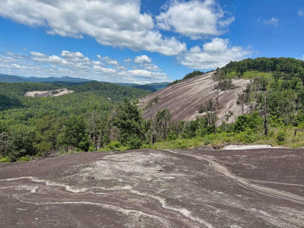
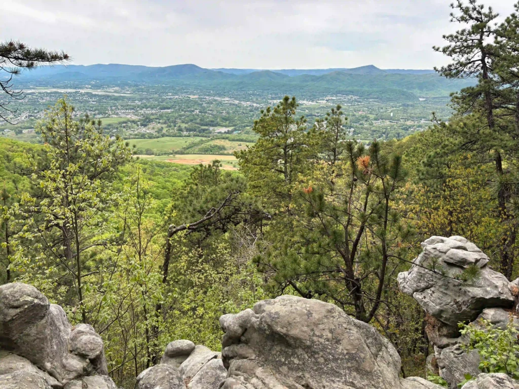
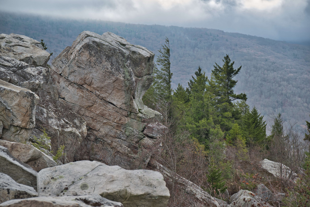
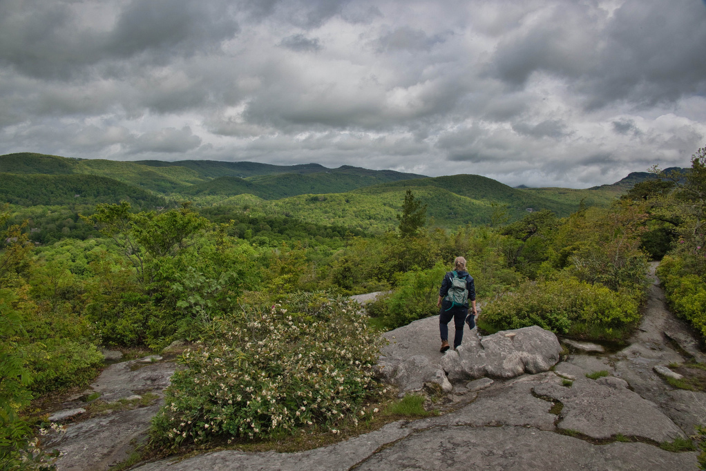
rocky summit

Hanging Rock, Wolf Rock, and Cook’s Wall Loop

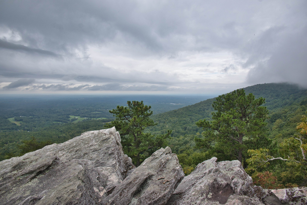
Trail Map: The Hike: This was our first visit to Hanging Rock State Park and we are already planning to return. We hiked on a cloudy day and some of the views were partially covered with clouds. Hanging Rock is famous for waterfalls and amazing views. The park has five vistas and this hike visits […]

Hanging Rock, Wolf Rock, and Cook’s Wall Loop Read More »

Sunset Rocks & Appalachian Trail

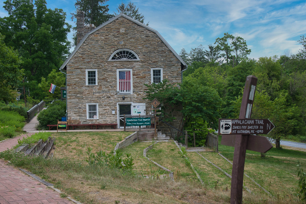
Trail Map: The Hike: We are working our way through the AT—one state at a a time. This loop hike has almost 4 AT miles, passes by the traditional half-way point on the AT, has a half-mile rock scramble, and finishes with some history and ice cream at the state park. The trailhead in Pine

Sunset Rocks & Appalachian Trail Read More »

Jarman Gap-Turk Mt. Loop

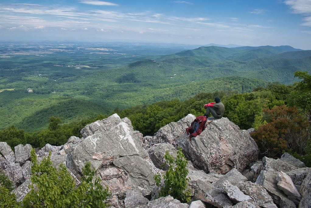
Trail Map: The Hike: The popular trails in Shenandoah National Park get crowded on summer weekends. This hike is a hidden gem. It has some solitude, lots of stream crossings, and great views from the summit of Turk Mountain. A cement post near Skyline Drive marks the trailhead. Pass through the yellow posts and chain

Jarman Gap-Turk Mt. Loop Read More »

Flat Rock

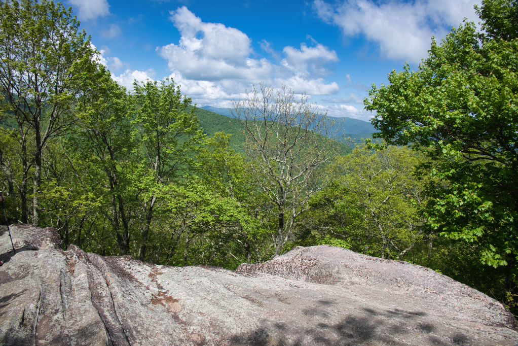
Trail Map: The Hike: This easy, short hike is great for kids of all ages. Flat Rock has great views of the Linville Valley and Grandfather Mountain. Interpretive signs tell the story of the plants, trees, animals, and geological features of the forest.  Hike Photos: Click on an image below for an enlarged view. Beer

Flat Rock Read More »

Rough Ridge on the Tanawha Trail

Trail Map: The Hike: This short hike on the Tanawha Trail has some amazing views. It’s rocky and steep, but the views are well worth the effort. The trail leads through a dense thicket of mountain laurel and rhododendron and reaches a boardwalk and wood observation platform. The Rough Ridge Lookout has some of the

Rough Ridge on the Tanawha Trail Read More »

Profile Trail to Calloway Peak

Trail Map: The Hike: Grandfather Mountain has been on our hiking radar for a long time. The hike exceeded all of our expectations. First up: this is not an easy hike. The hike is nearly four steep miles of elevation gain. The rocky trail, switchbacks, 600+ wood and stone steps, rock scrambles, and ladders make

Profile Trail to Calloway Peak Read More »

Mount Marshall via the AT

Trail Map: The Hike: We were originally planning to do this hike in mid-October for peak foliage views. However, we had too many schedules to coordinate so we hiked on a beautiful day in early November after all the leaves were down. Pete’s sister Nan, our niece Hannah, and nephew Jack joined us on this

Mount Marshall via the AT Read More »

AT, Wilburn Ridge & Crest Loop

Trail Map: The Hike: This fantastic hike has a little bit of everything: sweeping vistas, wild ponies, free range cattle, rhododendrons, rock scrambles, stream crossings, and dense forests. It’s one of our all-time favorites. The trails are well marked and well maintained. Several trails are combined to form this loop so download the AllTrails map

AT, Wilburn Ridge & Crest Loop Read More »