Torry Ridge & Sherando Lake Loop
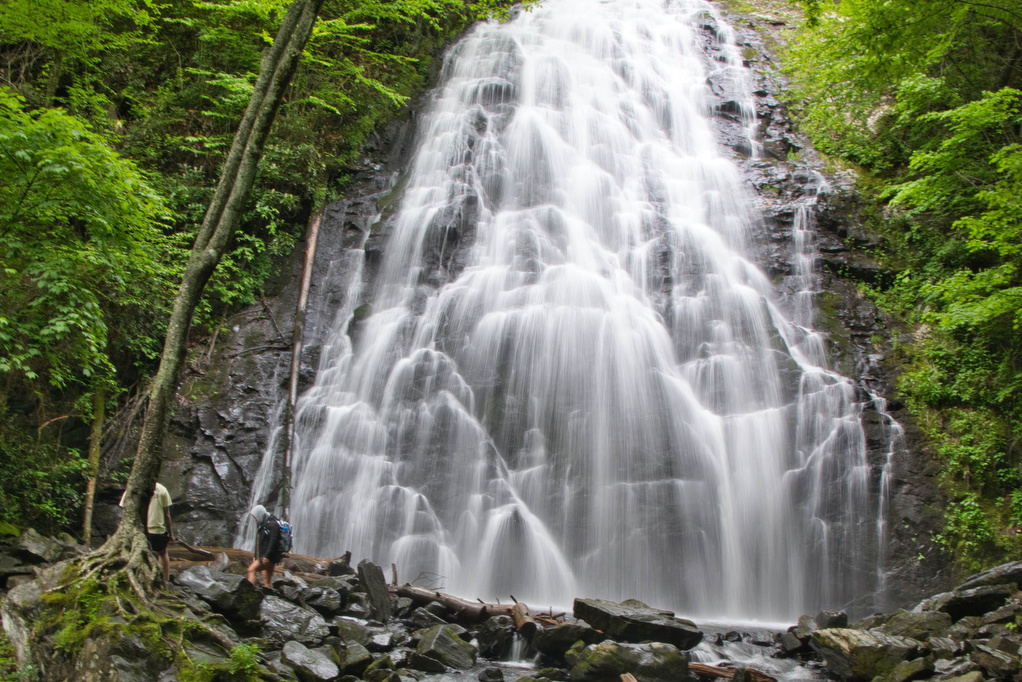
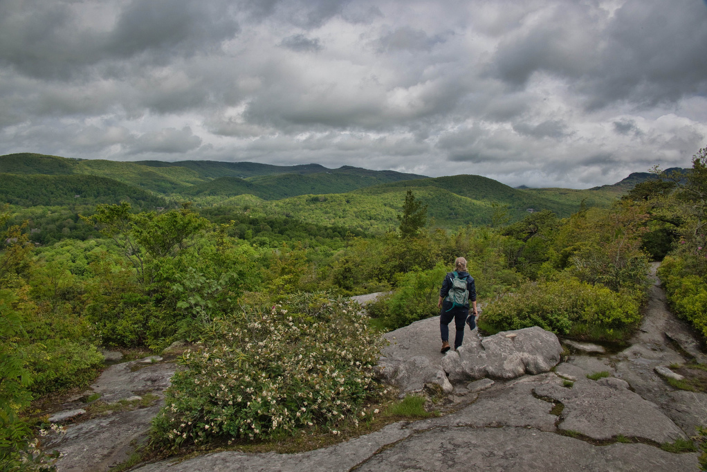
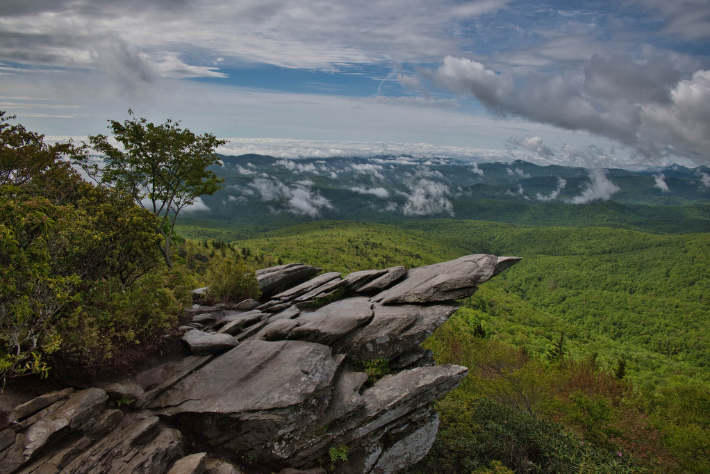
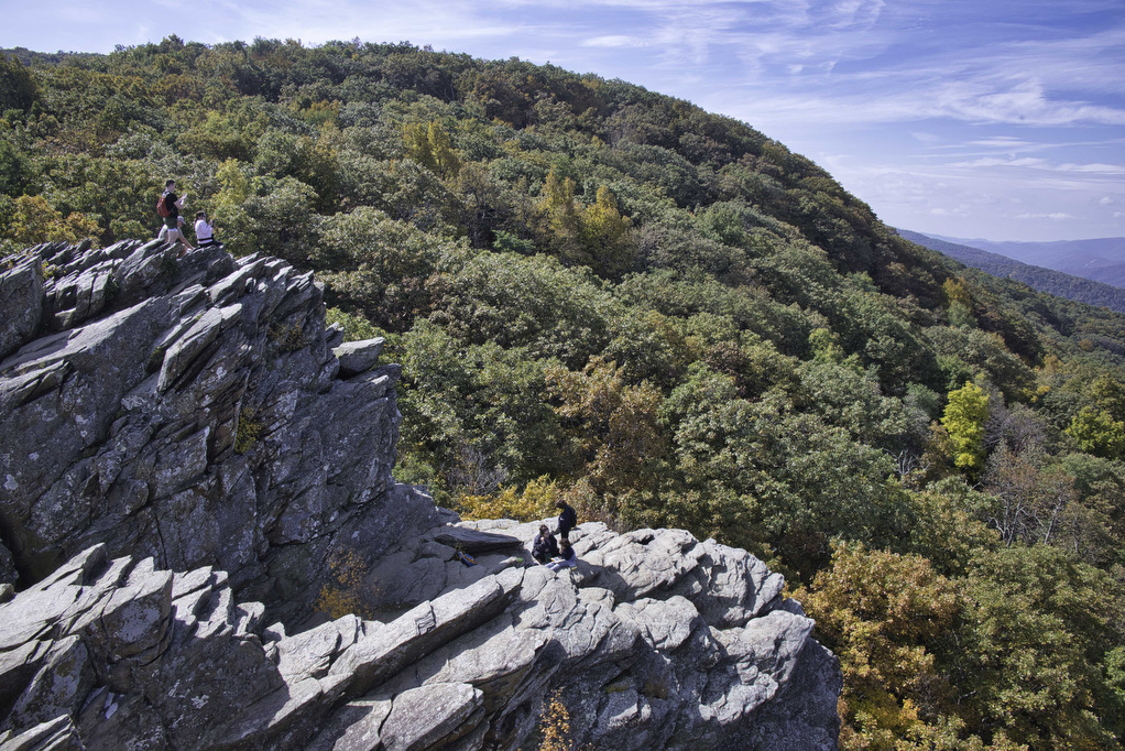
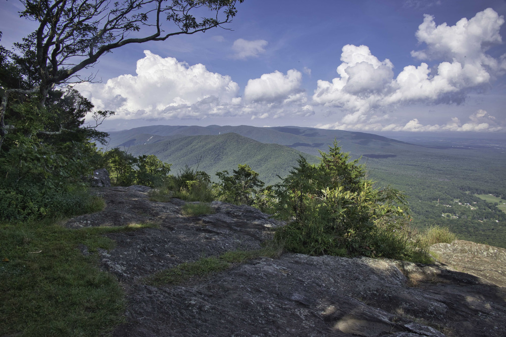
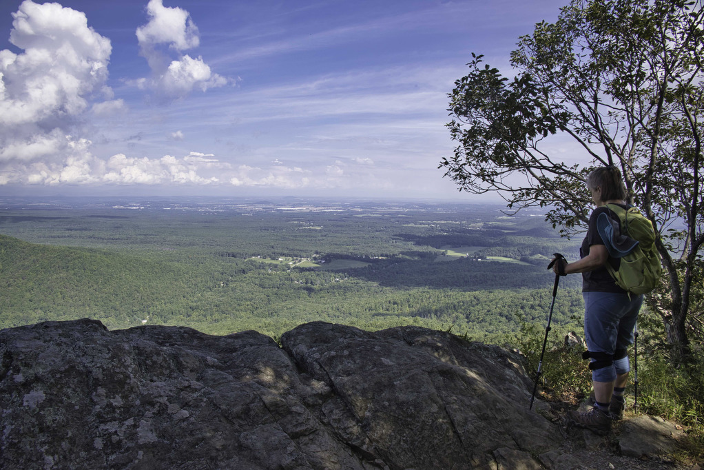
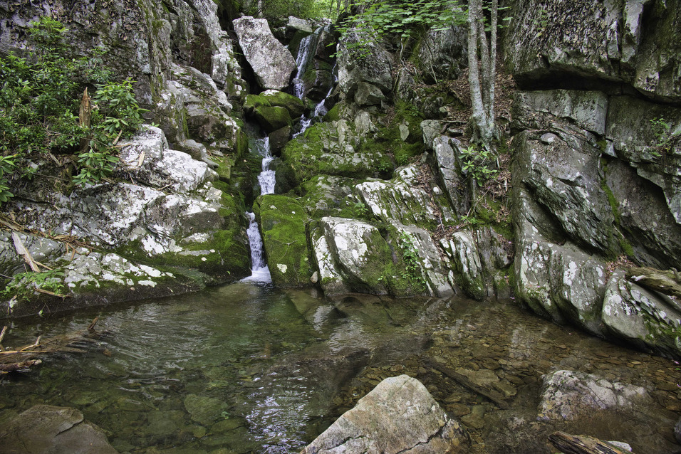
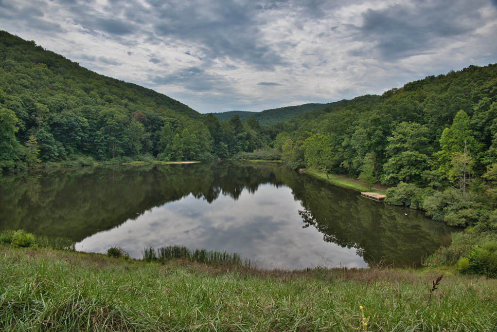
Trail Map: The Hike: This hike packs in a lot in just under ten miles: a waterfalls, mountain views, two lakes, and a ridge line. We hiked over Labor Day weekend so the water levels in the falls were a bit low and peak foliage is still weeks away—but this was still a great hike. […]
Torry Ridge & Sherando Lake Loop Read More »