
- Highlights: Waterfalls, mountain views
- Distance: 4.4 mile loop
- Elevation Change: 886 feet
- Trail Surface: Dirt with several rocky sections
- Difficulty Level: Moderate (elevation)
- Trailhead Parking: White Rock Gap parking area, Blue Ridge Parkway mile post 18.5
- Website: AllTrails
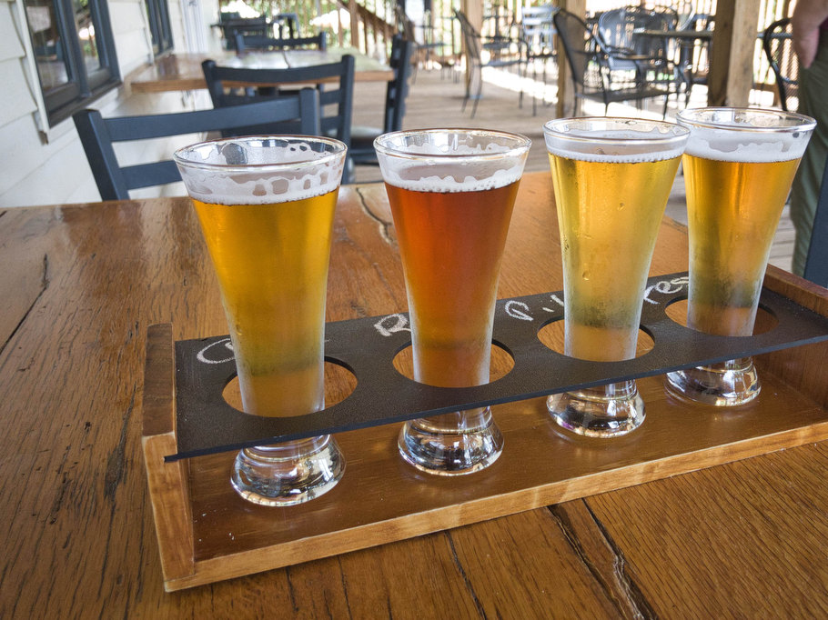
- Beer Pairings: Brewing Tree Brewing Co.—Chapter 2 IPA & Flip Flop Pils
The Hike:
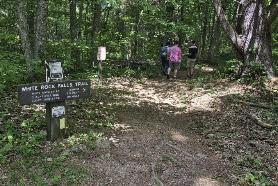
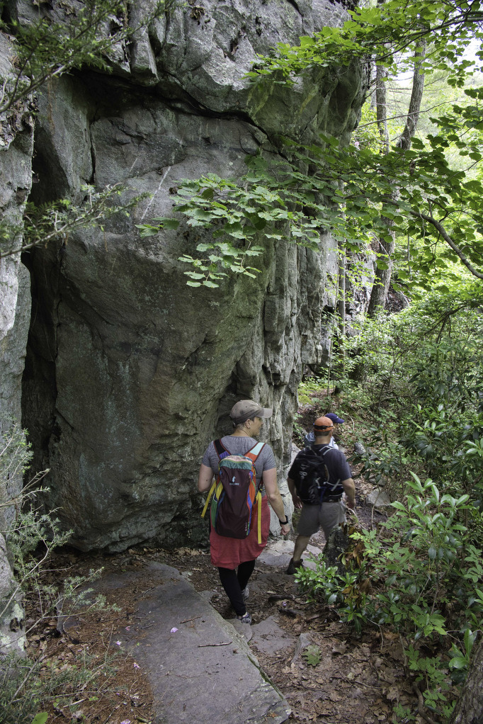
Most people like waterfall hikes. We enjoyed a long weekend in Afton with friends and this was the unanimous choice for our Saturday hike. This hike has an added bonus of several great mountain views. White Rock Falls is located in the George Washington National Forest and the trail is well marked and well maintained. A trail kiosk is located in the parking area with a map and trail information. From the parking area, cross the parkway to locate the trailhead.
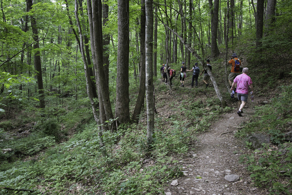
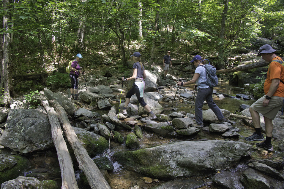
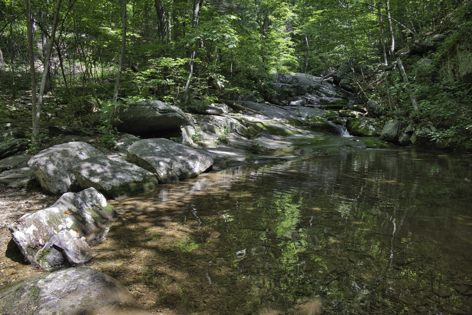
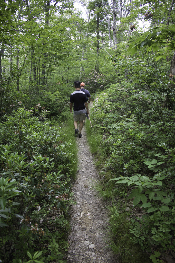
This hike begins on the yellow-blazed White Rock Falls Trail. The trail begins with a lengthly gradual descent passing through a ravine with some large boulders. White Rock Creek crosses the trail at 1.2 miles. Several large rocks keep your feet dry as you rock-hop across the creek.
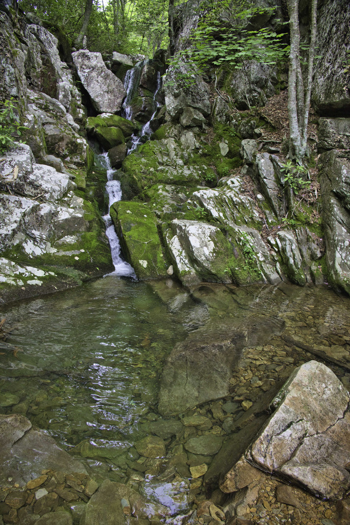
The trail gains over 500’ in elevation over the next .5 miles and several switchbacks help with the climb . At 1.7 miles a signpost points right to the waterfall. Follow the short (200 yards) spur trail as it descends beside some cool rock formations to the base of the falls.
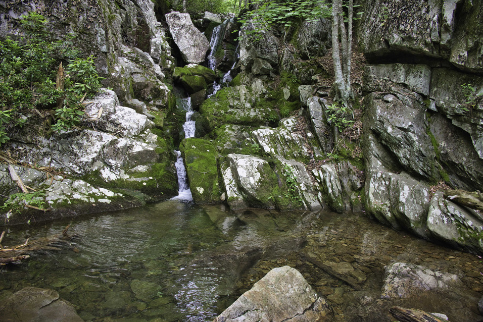
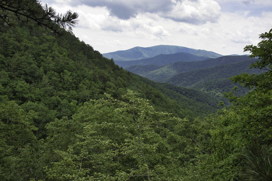
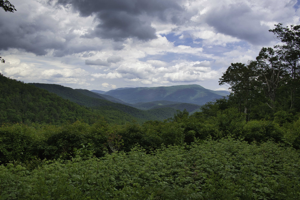
White Rock Creek cascades over the rocks creating a 30’ waterfall. In the dry summer months, the flow may be diminished. After viewing the falls, climb back up the spur trail and stay straight at the junction on the yellow-blazed White Rock Falls Trail. Reach the first overlook at 2.1 miles with some nice mountain views. The second overlook at 2.2 miles has more mountain views and below are partial views of the falls.
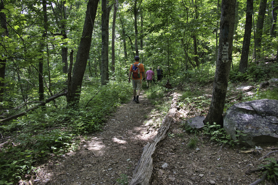
The trail levels out and passes through sections of mountain laurel. The trail crosses the Blue Ridge parkway at 2.9 miles. Turn left and walk on the side of the parkway for 100 yards to reach the Slacks Overlook parking area with some nice views to the west. The trail now becomes the blue-blazed Slacks Overlook Trail, the trailhead is located on the right near a picnic table.
The hiking is easy with a modest downhill for the rest of the hike. The trail passes through more mountain laurel and wildflowers. Reach a trail junction at 4.3 miles and bear right on a short connector trail to return to the parking area.
Hike Photos:
Click on an image below for an enlarged view.

Beer Pairing:
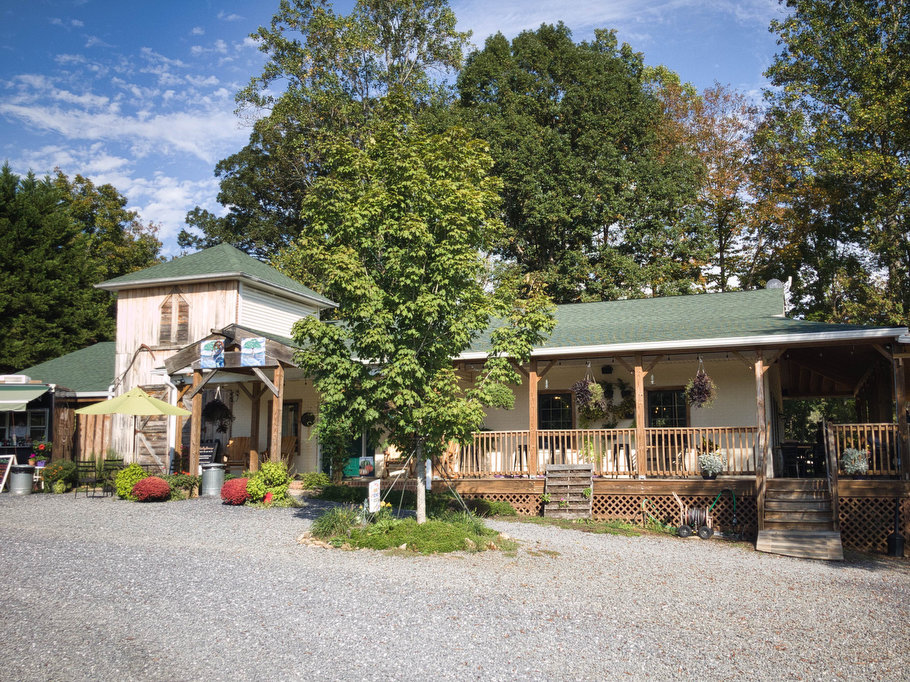
There are several breweries and cideries located in nearby Nellysford: Devil’s Backbone, Three Notched, Blue Toad, and Bold Rock. We decided to drive a few miles north on route 151 to Brewing Tree in Afton.
Located about 10 minutes north on Route 151, Brewing Tree is the brainchild of Mark and Gina Thompson. Mark was one of the founders of Starr Hill Brewery and Gina is a sommelier and chef. The end result is great beer and food in a fun atmosphere with river, meadow, and mountain views. The brewery is kid and dog friendly with indoor and outdoor seating and live music on weekends.
Pete really liked Flip Flop Pilsner, a European-style pilsner with a little bit of hoppiness and a dry finish. Kathy enjoyed Chapter 2, a northwest-style IPA brewed with Cascade and Willamette hops. Brewing Tree’s Scratch Kitchen serves up some great food which pairs nicely with their beers.
Hike and drink responsibly. Never drink and drive. Stay safe, be responsible, and leave no trace.
You all need to write a book! So fun with the beer pairings! Hoping to do some of these hikes in the fall. Will be in touch to meet for dinner in Aug or Sep!!!!