Medium 3-6 Miles

Stone Mountain Loop

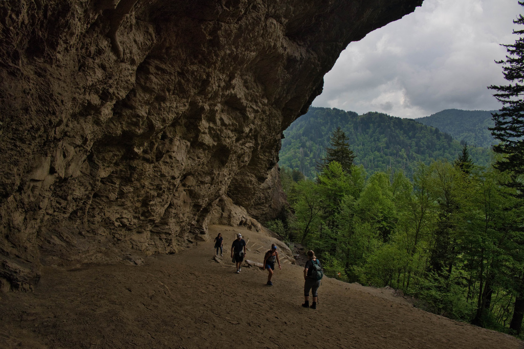
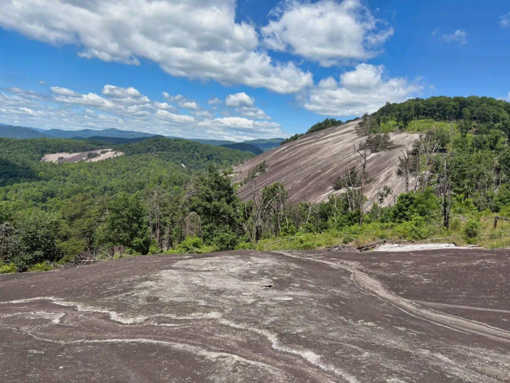
Trail Map: The Hike: This hike checks all the boxes: waterfall, great views, rocky summit, historic homestead, wildflowers. If you only have time for one hike, make it this one. Yes, there are a lot of steps. We didn’t count them, but there are several hundred steps. We hiked the loop clockwise visiting the water […]

Stone Mountain Loop Read More »

Buzzard Rock at Read Mountain

Trail Map: The Hike: This hike to Buzzard Rock has some of the best views in the Roanoke area. Read Mountain is the long, undeveloped ridge looming above the Roanoke Valley. The park lands, protected by a conservation easement, were donated to Roanoke County and the hiking trails were built by volunteers. The 243-acre park

Buzzard Rock at Read Mountain Read More »

Belle Isle State Park Loop

Trail Map: The Hike: Belle Isle State Park in Lancaster (not be confused with Belle Isle in Richmond) is located on the banks of the Rappahannock River in Virginia’s Northern Neck. This area is a bird watcher’s paradise. We spotted several blue herons, osprey, and hawks. Bald eagles nest in this area but we didn’t

Belle Isle State Park Loop Read More »

Bear Loop Trail

Trail Map: The Hike: The Nature Conservancy protects more than 9,000 acres on and around Warm Springs Mountain—their largest preserve in Virginia. This easy loop hike has panoramic views to the east and west. Interpretive signs highlight the mountain’s diversity of wildlife species and habitats in addition to TNC’s efforts to restore the region’s fire-adapted

Bear Loop Trail Read More »

Valley Forge Loop

Trail Map: The Hike: This hike combines several trails with numerous trail junctions. We recommend downloading the AllTrails map to help navigate this route. We crossed Route 252 and began our hike counterclockwise on the red-blazed Mount Joy Trail.  The Mount Joy trail loops through the forest and makes a steady, gradual climb past Mount

Valley Forge Loop Read More »

Jackson River Gorge-Hidden Valley Loop

Trail Map: The Hike: This hike in the George Washington National Forest is a nice walk in the woods with some nice river views. The trail is marked and maintained; however, there are many interconnecting trails and some of the junctions were confusing. We suggest downloading the AllTrails map in advance as cell service in

Jackson River Gorge-Hidden Valley Loop Read More »

Alum Cave Bluff Trail

Trail Map: The Hike: We arrived before 8am on a Tuesday in mid-May and parking was filling up quickly. GSMNP charges a $5 per day parking fee. This parking area doesn’t sell parking permits, we purchased one at the Sugarlands Visitor Center. This is a popular hike and parking areas fill up quickly. The trail

Alum Cave Bluff Trail Read More »