Lake

Turtle Island Loop

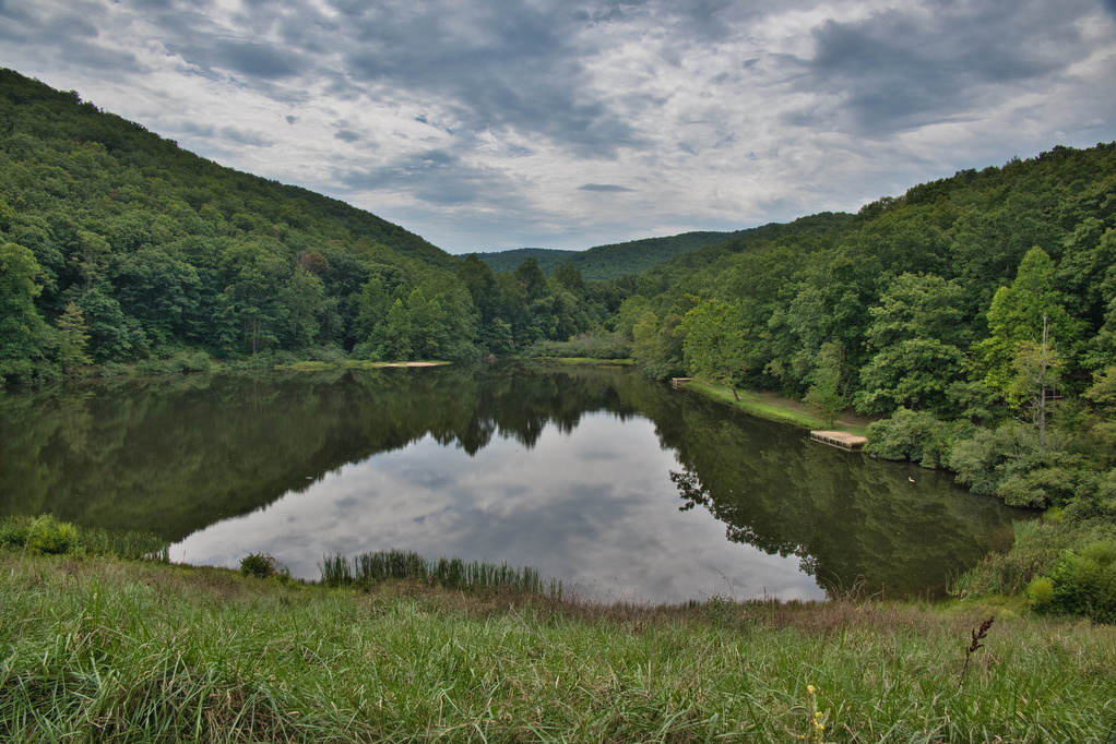
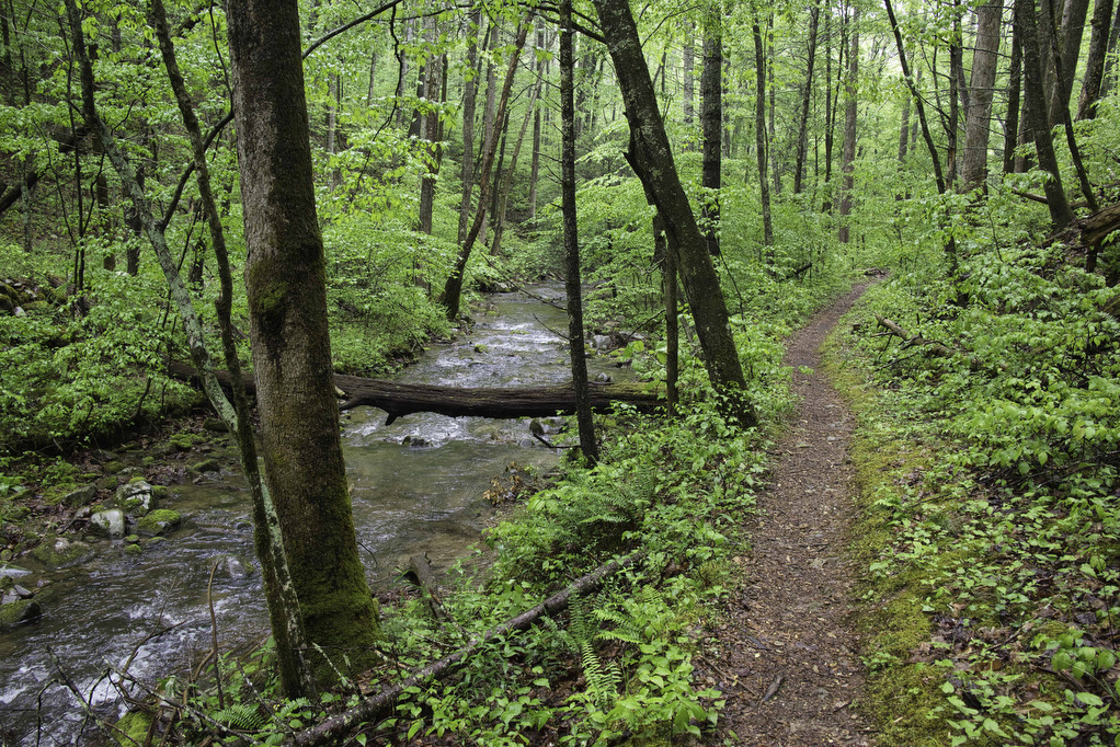
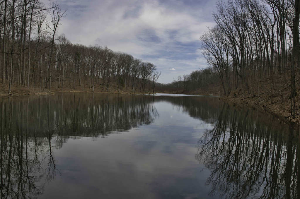
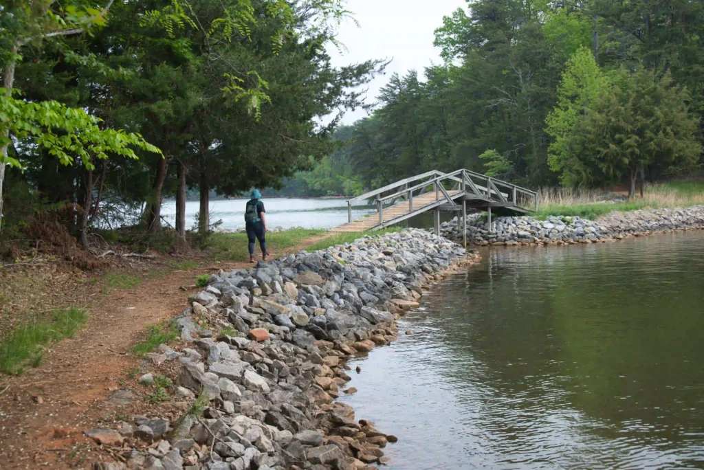
Trail Map: The Hike: We have received a few emails requesting shorter, easier hikes. This hike loops through a hardwood forest where interpretive signs tell how the forest changes and adapts throughout time. A footbridge leads to Turtle Island with some nice lake and mountain views. The trail returns back to the parking area. Directly […]

Turtle Island Loop Read More »

Hanging Rock, Wolf Rock, and Cook’s Wall Loop

Trail Map: The Hike: This was our first visit to Hanging Rock State Park and we are already planning to return. We hiked on a cloudy day and some of the views were partially covered with clouds. Hanging Rock is famous for waterfalls and amazing views. The park has five vistas and this hike visits

Hanging Rock, Wolf Rock, and Cook’s Wall Loop Read More »

Torry Ridge & Sherando Lake Loop

Trail Map: The Hike: This hike packs in a lot in just under ten miles: a waterfalls, mountain views, two lakes, and a ridge line. We hiked over Labor Day weekend so the water levels in the falls were a bit low and peak foliage is still weeks away—but this was still a great hike.

Torry Ridge & Sherando Lake Loop Read More »

Long Mountain to Pedlar Lake

Highlights: Appalachian Trail shelter, Brown Mt. Creek, Pedlar Lake Distance: 10.3 miles miles out and back Elevation Change: 1,467 feet Trail Surface: Dirt with several rocky sections and stream crossings Difficulty Level: Strenuous (distance, elevation, multiple stream crossings)  Trailhead Parking: Long Mountain Wayside, US route 60, 10 miles east of Buena Vista VA  Website: AllTrails

Long Mountain to Pedlar Lake Read More »

Emerald Pond

Highlights: Great views, mountain pond, Massanutten ridge, fire ant mounds Distance: 8.5 miles out and back Elevation Change: 1,630 feet Trail Surface: Very rocky Difficulty Level: Strenuous (rocky surface, distance, and elevation gain)  Trailhead Parking: Wildflower Trailhead at the site of the former Massanutten Visitor Center, US route 211, 5 miles east of New Market

Emerald Pond Read More »

Waller Mill Park Lookout Tower Loop

Highlights: Lake views, bird watching Distance: 2.9 mile loop Elevation change: 185 feet Difficulty level: Easy Trailhead Parking: 901 Airport Road, Williamsburg VA, $2.00 parking fee Website: Williamsburg Parks and Recreation Beer Pairings: Alewerks Brewing Company—Protocol Porter & Fractionate IPA The Hike: Waller Mill Park in Williamsburg is centrally located near Interstate 64 and Colonial

Waller Mill Park Lookout Tower Loop Read More »

Ragged Mountain Loop

Highlights: Lake views, wooden statues, wildflowers Distance: 6.8 miles loop Elevation change: 1,045 feet Difficulty level: Moderate Trailhead Parking: Ragged Mountain Natural Area, 1770 Reservoir Road, Charlottesville Website: Charlottesville Parks & Recreation Beer Pairings: Rockfish Brewery—English Brown Ale & New England IPA The Hike: The Ragged Mountain Natural Area is a 980-acre forest located in

Ragged Mountain Loop Read More »