
- Highlights: Appalachian Trail shelter, Brown Mt. Creek, Pedlar Lake
- Distance: 10.3 miles miles out and back
- Elevation Change: 1,467 feet
- Trail Surface: Dirt with several rocky sections and stream crossings
- Difficulty Level: Strenuous (distance, elevation, multiple stream crossings)
- Trailhead Parking: Long Mountain Wayside, US route 60, 10 miles east of Buena Vista VA
- Website: AllTrails
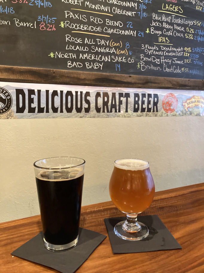
- Beer Pairings: Brew Ridge Taps—Cheat Code DIPA & Coal Miner’s Dodder stout
The Hike:
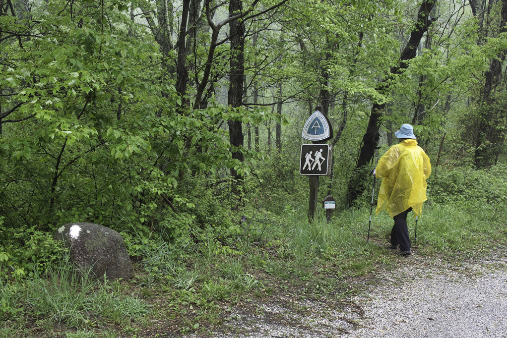
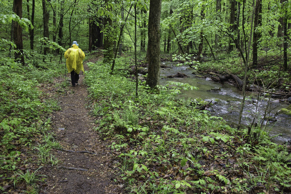
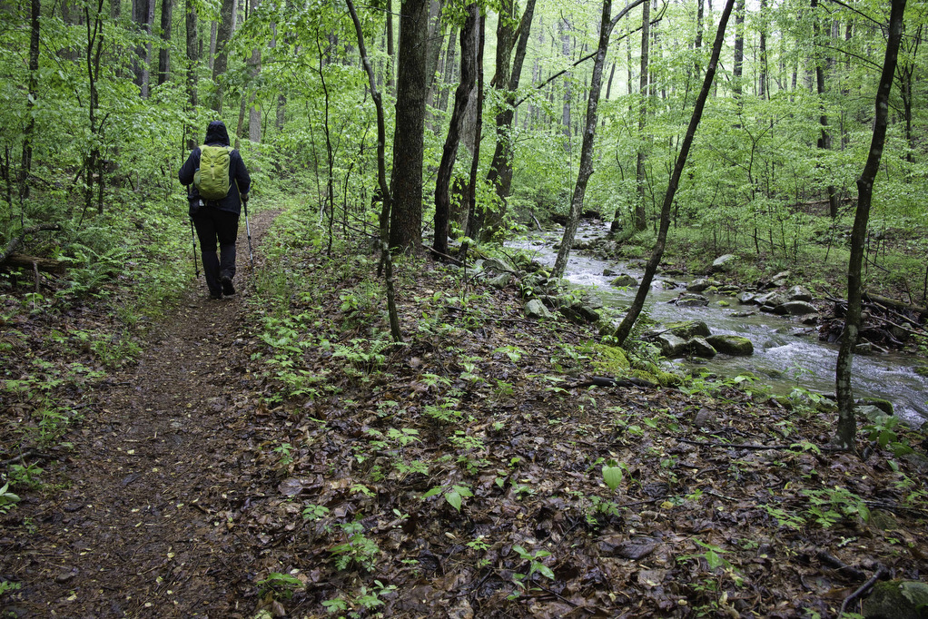
This hike is ideal for a hot summer day as the trail follows a creek most of the way. There are plenty of stream crossings and several pools offer ample opportunities to cool off on a hot day. This hike doesn’t have panoramic views. However, there are plenty of water options. We hiked on a rainy day so we had our fill of water. The trail is well marked and well maintained.
From the Long Mountain Wayside parking area, carefully cross US 60 heading south on the white-blazed AT as the trail begins a descent into the valley. Brown Mountain Creek soon joins the trail and runs beside the trail most of the way to the lake.
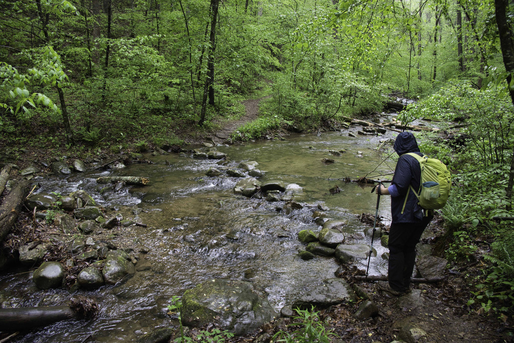
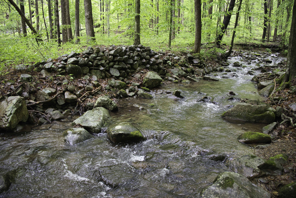
There are several stream crossings on this hike. In early May we were able to rock-hop across the creek without much difficulty. Much of this area was farmed by former slaves in the late 1800s. Their descendants sold their land to the forest service in the early 1900s. Placards describe life in this area during that period. It is still possible to see the remnants of stone foundations along the trail.
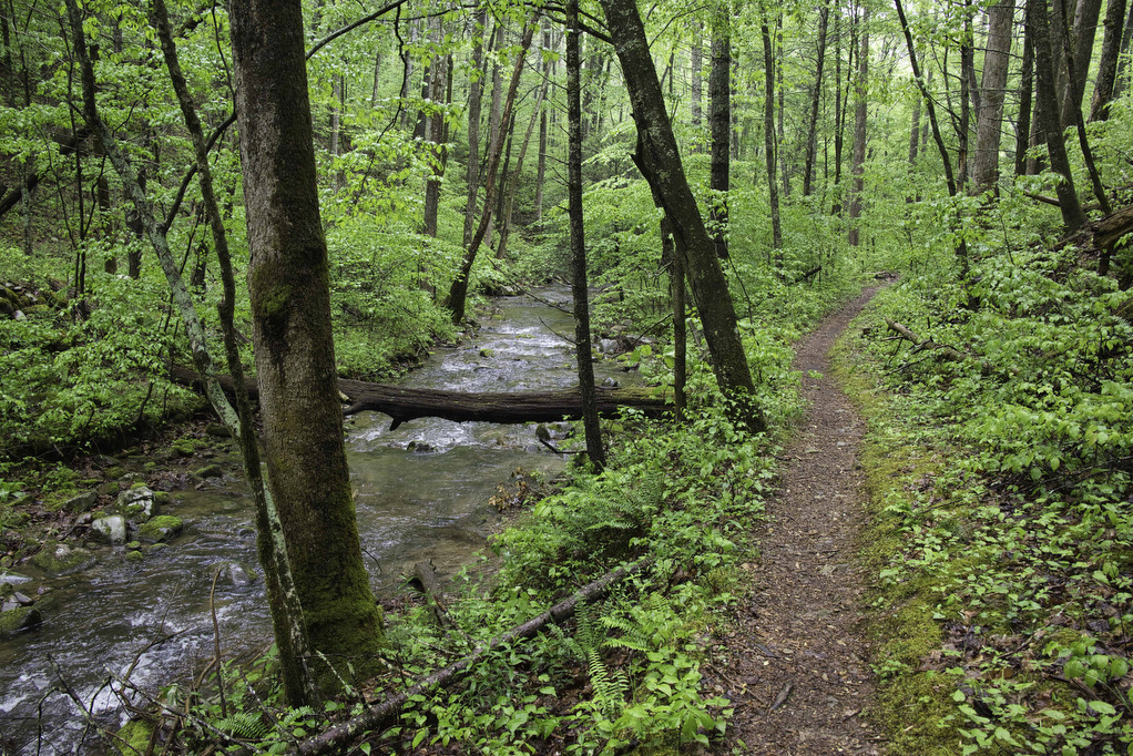
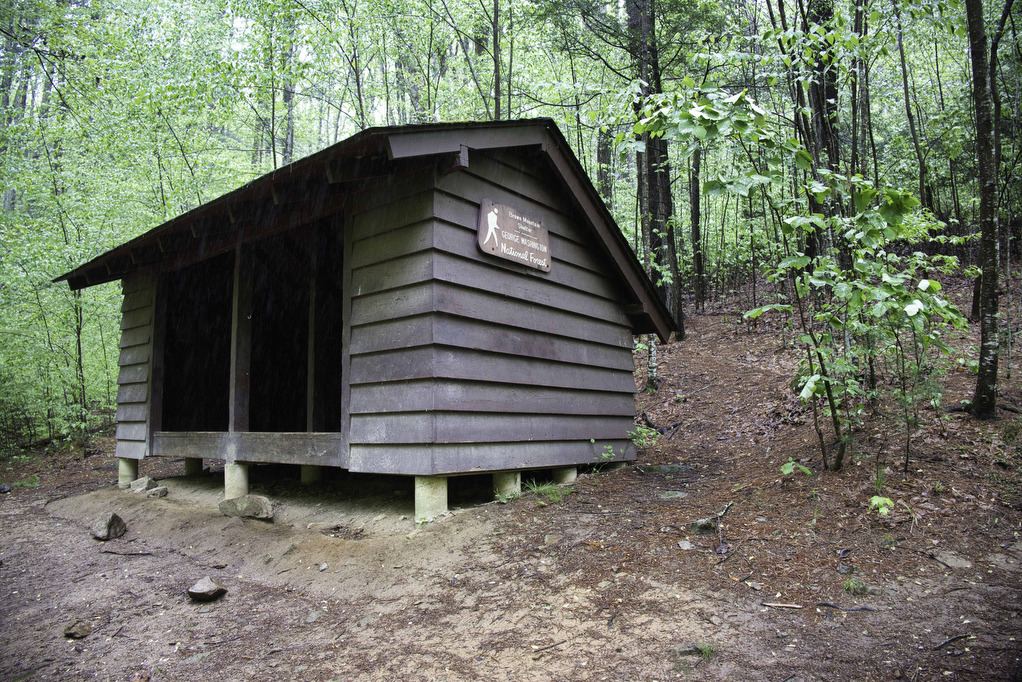
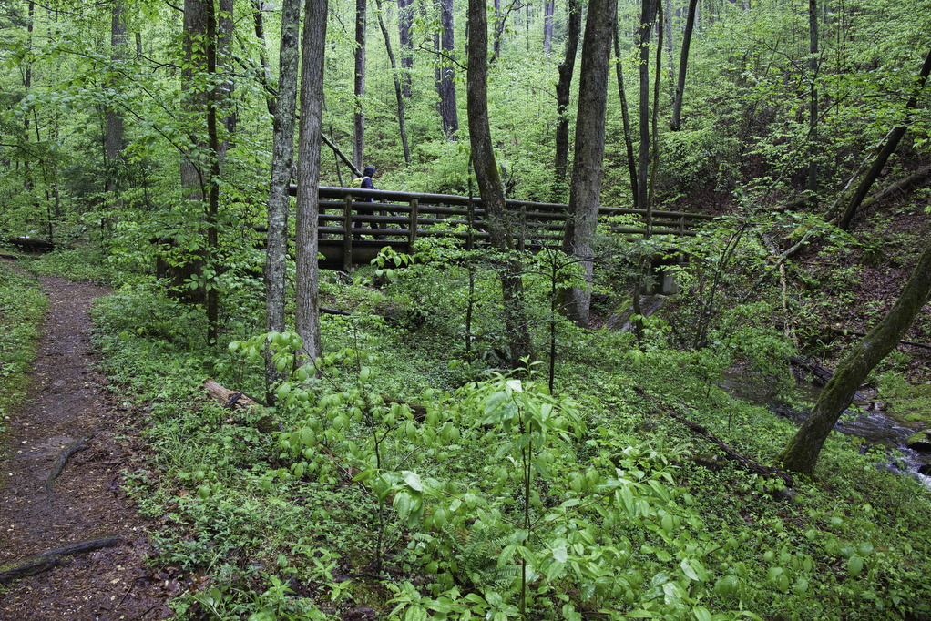
At 1.8 miles, a short spur trail to the left leads to the Brown Mountain Shelter. Trail shelters are located approximately every 10 miles on the AT. The shelters are reserved for through hikers and the trail logs make for interesting reading. Just past the shelter, a footbridge crosses the stream.
Old stone flood walls made by former settlers are visible in some sections. Farming in this valley was not easy and flooding was a problem in the spring when snow melt would cause the stream to overflow its banks.
The trail is mostly level as it winds through the forest near the creek. The AT has been re-routed for a short section and the AllTrails map is an older version and doesn’t reflect the new route. It soon rejoins the the old route and at 3.8 miles crosses over a dirt forest road.
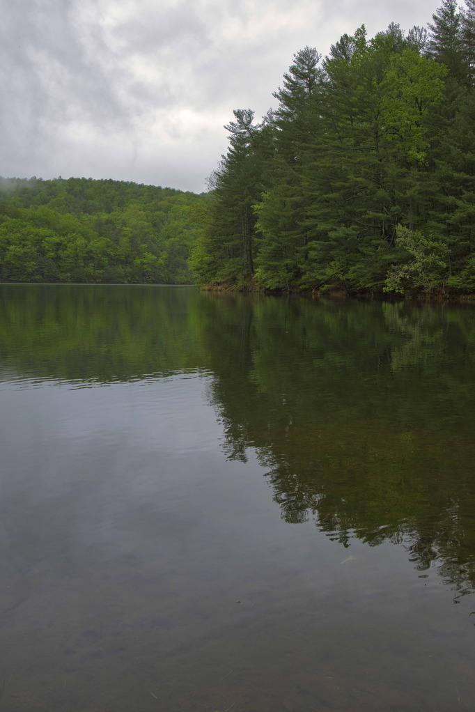
The trail begins a descent to Pedlar Lake. The lake is the water source for the city of Lynchburg and swimming is not allowed. Explore the lake and continue as long as you like along the AT. After our first views of the lake at just over 5 miles, we elected to retrace our steps and return to our vehicle at Long Mountain Wayside.
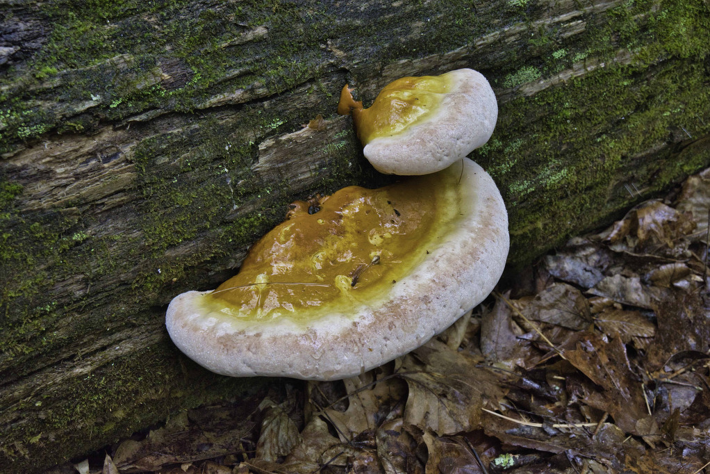
Hike Photos:
Click on an image below for an enlarged view.

Beer Pairing:
Brew Ridge Taps is located in Lexington about 30 minutes from the trailhead. They have 18 taps of craft beer and some great food options including the famous wafflewich. They only offer indoor seating and have some great live music on the weekends.
Kathy liked Cheat Code (8.3% ABV) , a double IPA brewed by Brothers Brewing in Harrisonburg. Cheat Code is brewed with a generous amount of hops and malts and just a bit of pineapple. Pete enjoyed Coal Miner’s Dodder (4.5% ABV, 27 IBUs) from Parkway Brewing. Brewed with dark roasted barley, this stout has notes of chocolate and espresso.

Hike and drink responsibly. Never drink and drive. Stay safe, be responsible, and leave no trace.