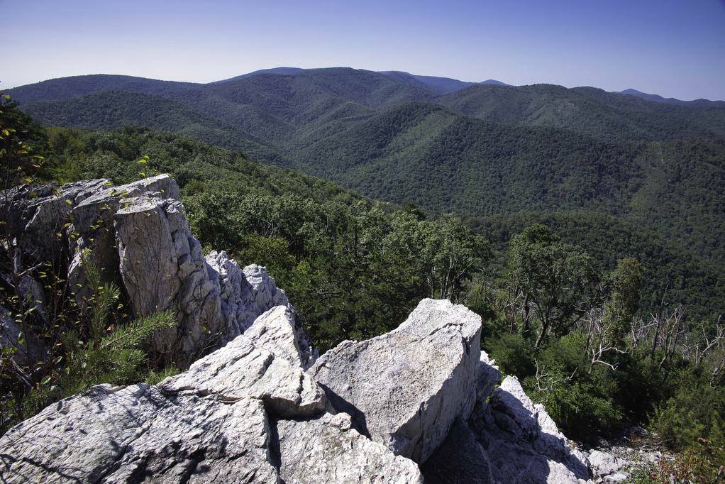
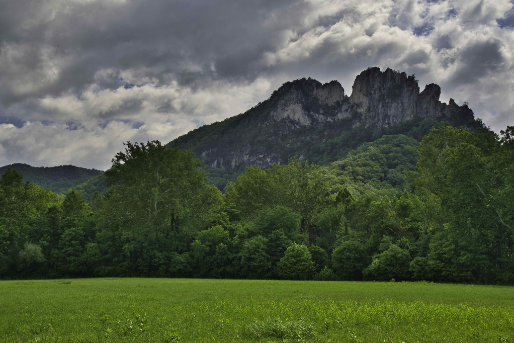
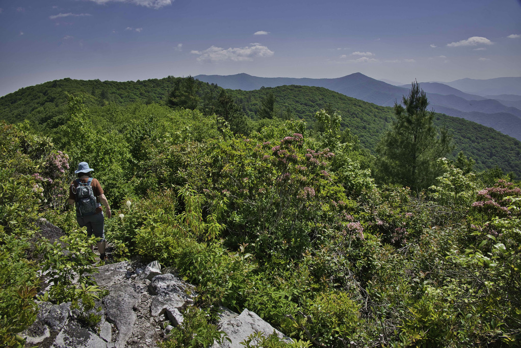
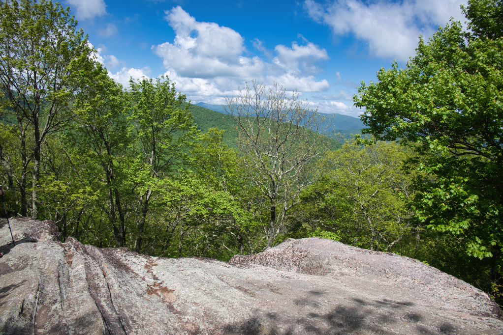
rocky summit

Rough Ridge on the Tanawha Trail

Trail Map: The Hike: This short hike on the Tanawha Trail has some amazing views. It’s rocky and steep, but the views are well worth the effort. The trail leads through a dense thicket of mountain laurel and rhododendron and reaches a boardwalk and wood observation platform. The Rough Ridge Lookout has some of the […]

Rough Ridge on the Tanawha Trail Read More »

Profile Trail to Calloway Peak

Trail Map: The Hike: Grandfather Mountain has been on our hiking radar for a long time. The hike exceeded all of our expectations. First up: this is not an easy hike. The hike is nearly four steep miles of elevation gain. The rocky trail, switchbacks, 600+ wood and stone steps, rock scrambles, and ladders make

Profile Trail to Calloway Peak Read More »

Mount Marshall via the AT

Trail Map: The Hike: We were originally planning to do this hike in mid-October for peak foliage views. However, we had too many schedules to coordinate so we hiked on a beautiful day in early November after all the leaves were down. Pete’s sister Nan, our niece Hannah, and nephew Jack joined us on this

Mount Marshall via the AT Read More »

AT, Wilburn Ridge & Crest Loop

Trail Map: The Hike: This fantastic hike has a little bit of everything: sweeping vistas, wild ponies, free range cattle, rhododendrons, rock scrambles, stream crossings, and dense forests. It’s one of our all-time favorites. The trails are well marked and well maintained. Several trails are combined to form this loop so download the AllTrails map

AT, Wilburn Ridge & Crest Loop Read More »

Seneca Rocks

Trail Map: The Hike: The rocky summit of Seneca Rocks dominates the landscape. This has been a popular destination for generations. Seneca Rocks National Recreation Area (NRA) contains the highest peak in West Virginia with some of the best rock climbing in the east. This is a very popular destination and the steep trail to

Seneca Rocks Read More »

Big Firescald Knob

Trail Map: The Hike: This section hike on the Appalachian Trail straddles the North Carolina/Tennessee state line. The open ridge provides spectacular views of both states. The road to the trailhead is paved for a few miles and then turns to gravel/dirt. We had no problems with our AWD Subaru and it should be passable

Big Firescald Knob Read More »

Charlies Bunion

Trail Map: The Hike: This hike is said to have some of the best views in Great Smoky Mountains NP. We certainly understand why it is so popular. This eight-mile round trip hike on the Appalachian Trail has an option one mile extension on the Jump Off Trail with even more amazing views. Dogs are

Charlies Bunion Read More »

Hanging Rock Overlook

Trail Map: The Hike: This easy hike has some fantastic views. Located in the Shawvers Run Wildness in Jefferson National Forest, this hike is a hidden gem. It’s popular with locals but not well known to most hikers. Part of the reason could be the 3-mile drive on the forest road leading to the trailhead. 

Hanging Rock Overlook Read More »