
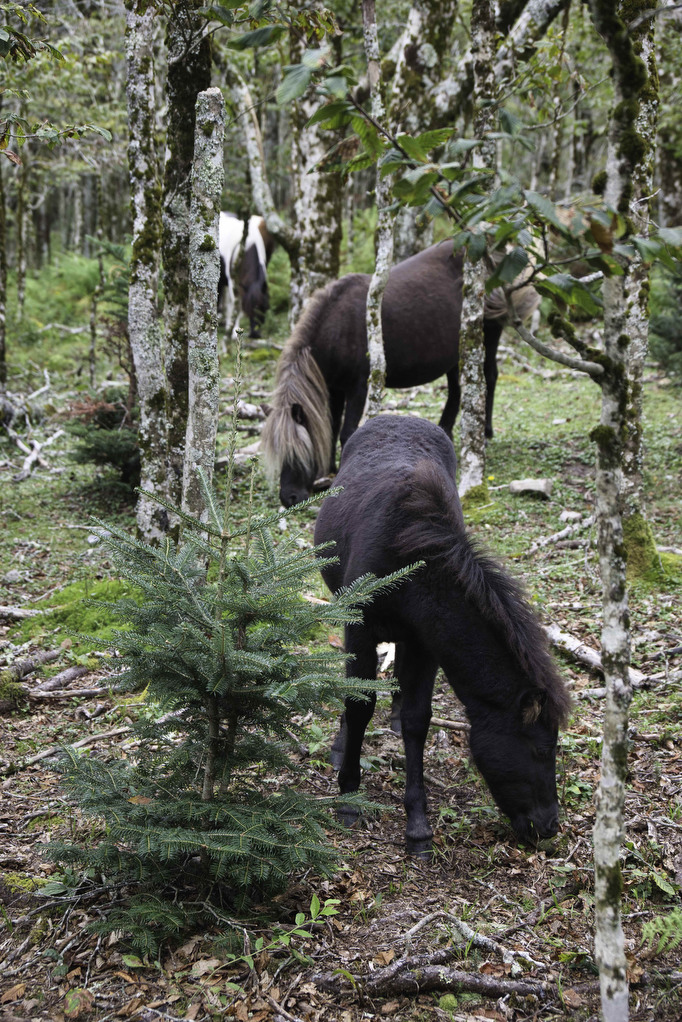
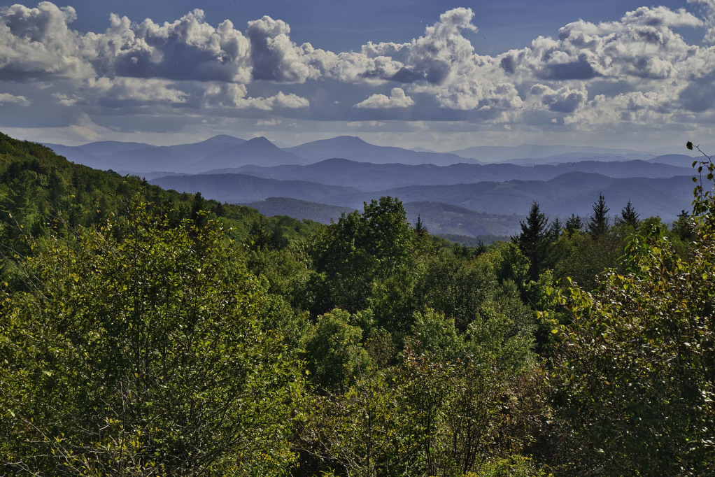
- Highlights: Views, rock scrambles, wild ponies, wildflowers
- Distance: 11.3 mile loop
- Elevation Change 1,824 feet
- Trail Surface: Dirt with numerous rocky sections
- Difficulty Level: Strenuous
- Trailhead Parking: Massie Gap parking area, Grayson Highlands State Park;park entry fee required
- Trail Markings: white and blue blazes, posts at trail junctions
- Website: AllTrails and Grayson Highlands State Park
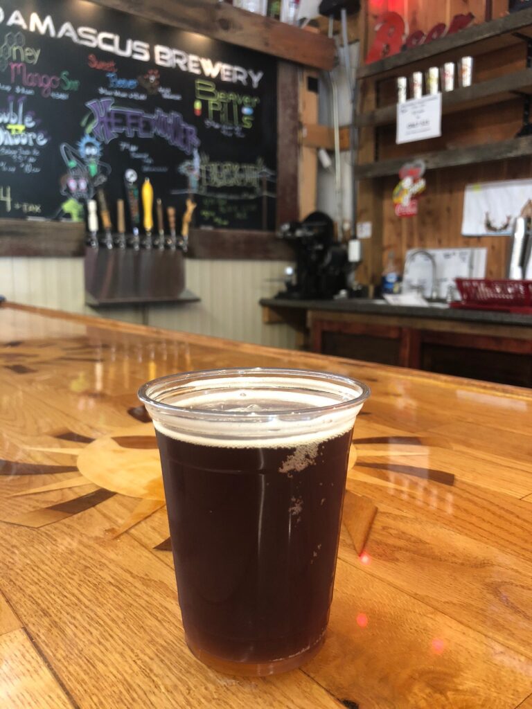
- Beer Pairings: Damascus Brewery—Beaver Rage IPA & Preppy Havahd Boy IPA
Trail Map:
The Hike:
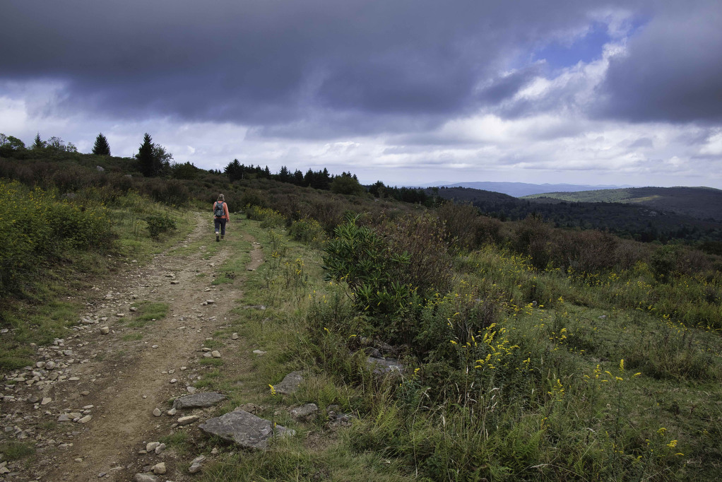
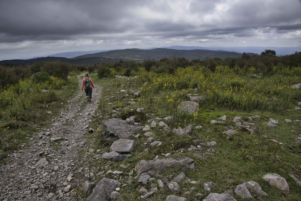
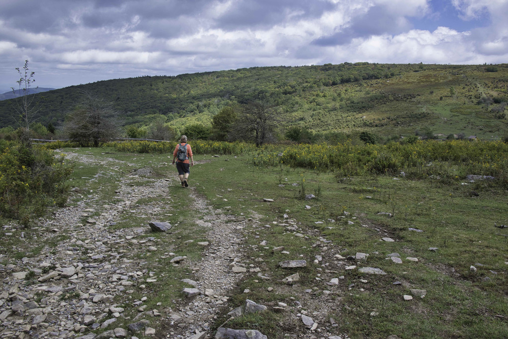
This fantastic hike has a little bit of everything: sweeping vistas, wild ponies, free range cattle, rhododendrons, rock scrambles, stream crossings, and dense forests. It’s one of our all-time favorites. The trails are well marked and well maintained. Several trails are combined to form this loop so download the AllTrails map to help with navigation.
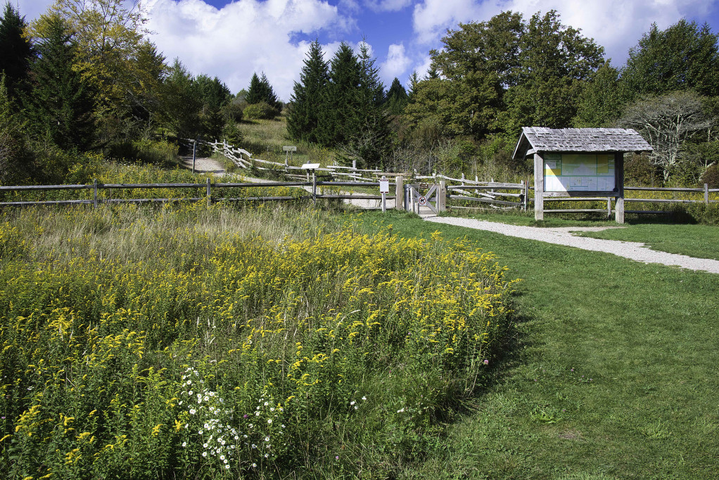
AllTrails shows this hike beginning at the Overnight Backpackers Parking Lot in Grayson Highland State Park. This lot requires a permit, so we drove a bit further and parked at the Massie Gap parking area. We opted to hike clockwise, AllTrails shows a counterclockwise loop. This is a great hike in either direction. Pass through the gate and follow the blue-blazed Rhododendron Trail for .3 miles to the orange-blazed Horse Trail North. The Horse Trail crosses the white-blazed Appalachian Trail at .5 miles.
Appalachian Trail
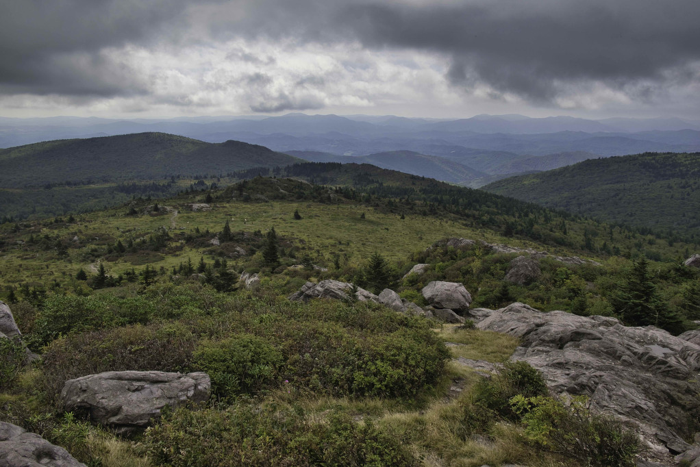
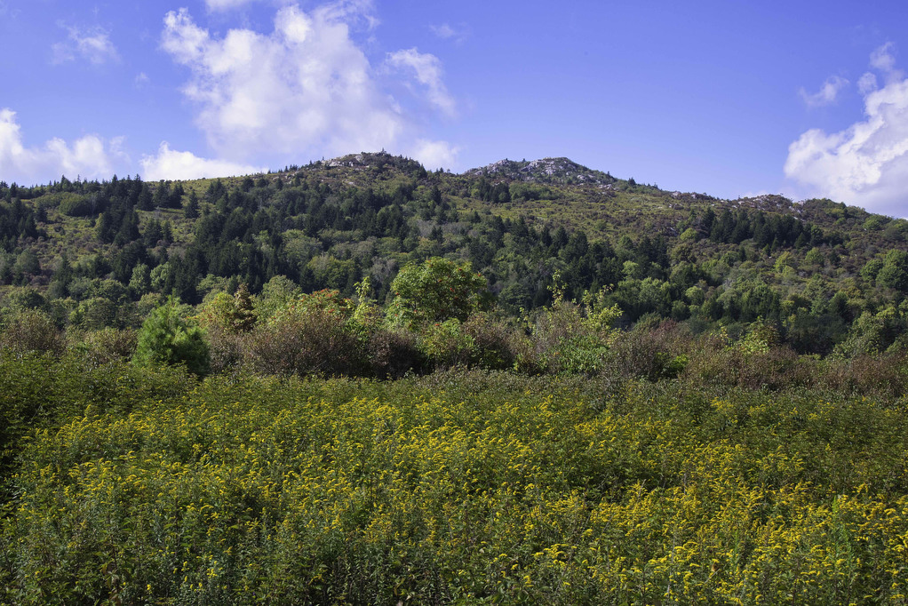
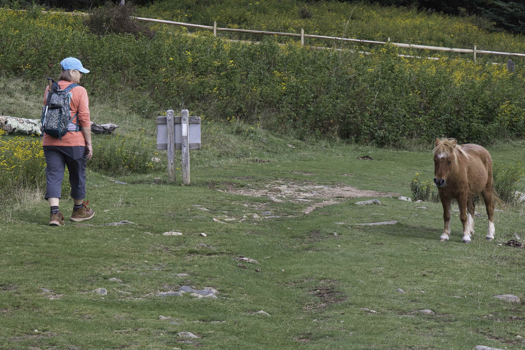
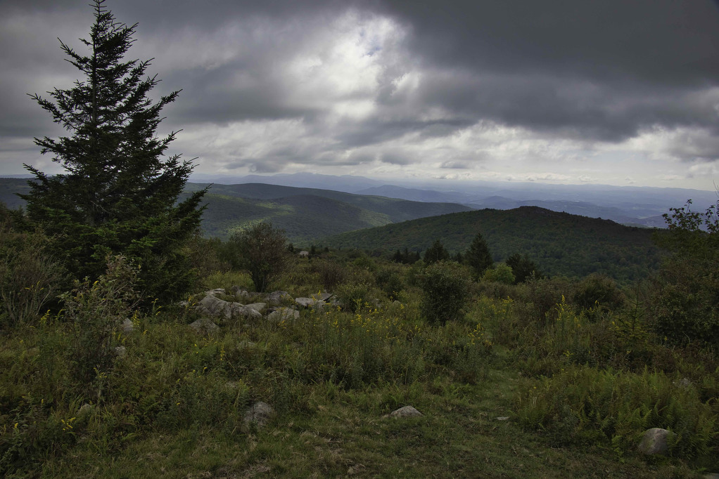
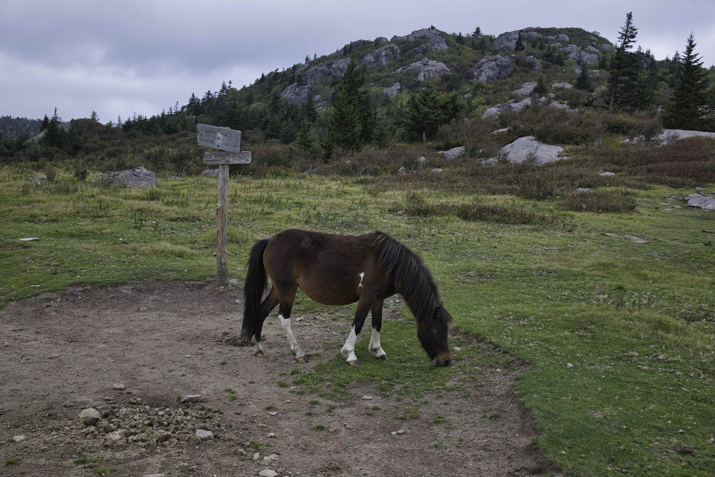
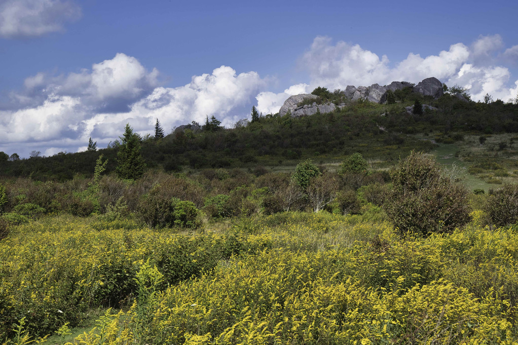
On your right is the northbound AT. This will be the return for this hike. Bear left here and follow the white-blazed AT Southbound (even though you are actually traveling north at this point) as you begin a steady climb. The vista open up with sweeping views. The park’s famous wild ponies can often be found throughout this area (and over much of this hike). Remember, the ponies are wild – do not feed or approach them. The rocky summit of Wilburn Ridge lies ahead. Reach a trail junction and gate at 1 mile. This is the border between Grayson Highland State Park and Jefferson National Forest.
Pass through the gate (closing it after you pass) and continue on the white-blazed AT following signs to Mount Rogers and Rhododendron Gap. The AT becomes very rocky and the views become even more incredible. Vistas open up in all directions with layers of mountain tops to the south and east. Continue enjoying the views on the AT and reach a junction with the Rhododendron Gap Trail at 1.6 miles. Wilburn Ridge looms ahead of you.
If you want to avoid the rock scramble on Wilburn Ridge, stay straight here on the AT. The Wilburn Ridge Trail joins the AT in about one mile. If you want to scramble to the rocky summit of Wilburn Ridge, with some amazing views, go left on the unblazed trail Rhododendron Gap Trail. This is another popular area for wild ponies.
Wilburn Ridge Trail
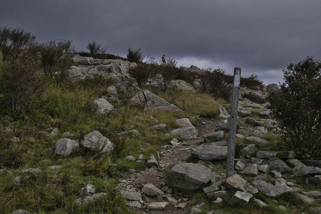
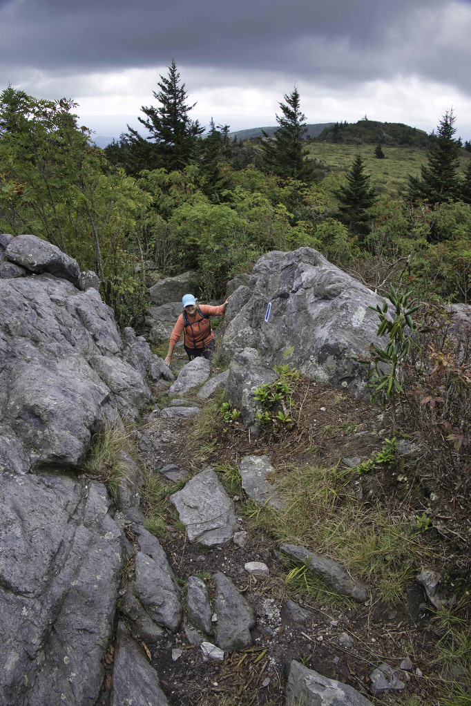
Continue for a few hundred yards to a junction with the blue-blazed Wilburn Ridge Trail. Follow the blue blazes as you head north to Wilburn Ridge. The trail becomes very rocky with several small rock scrambles. Rhododendron line parts of the trail. They are typically in bloom in early June which makes the amazing views on this hike even more amazing.
Follow the blue blazes painted on the rocks and take your time on the scrambles. The rock surface in the center of the trail has been worm smooth by thousands of hikers. The edges of the trail offer better traction. Your hands will be required in a few sections of the scramble. An unmarked junction to the right lead to a short spur with amazing panoramic views from the rocky summit.
Climb down from the summit and continue along the blue-blazed trail through a dense rhododendron thicket. The trail is very rocky as you continue descending through the rhododendrons. The trail rejoins the AT at 2 miles. Go left here on the white-blazed AT southbound.
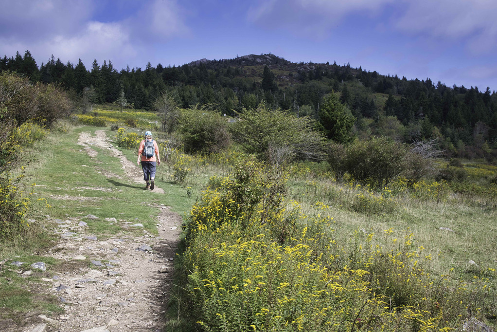
The AT passes through an open meadow with some nice views. Pine Mountain lies ahead (there is a short spur to the summit). Look behind you for a nice view of Wilburn Ridge. The trail passes around and over some large rocks. This is an easier scramble and some hikers may not need to use their hands as they climb over the rocks.
Crest Trail to The Scales
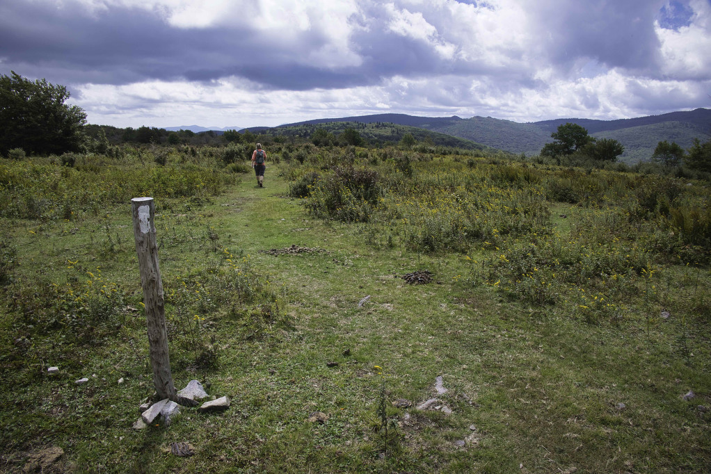
At 2 miles reach Rhododendron Gap which is a confusing junction for several trails. Mount Rogers (via the AT is 2 miles to the south). Bear to the right here following signs to the Crest Trail and Scales.
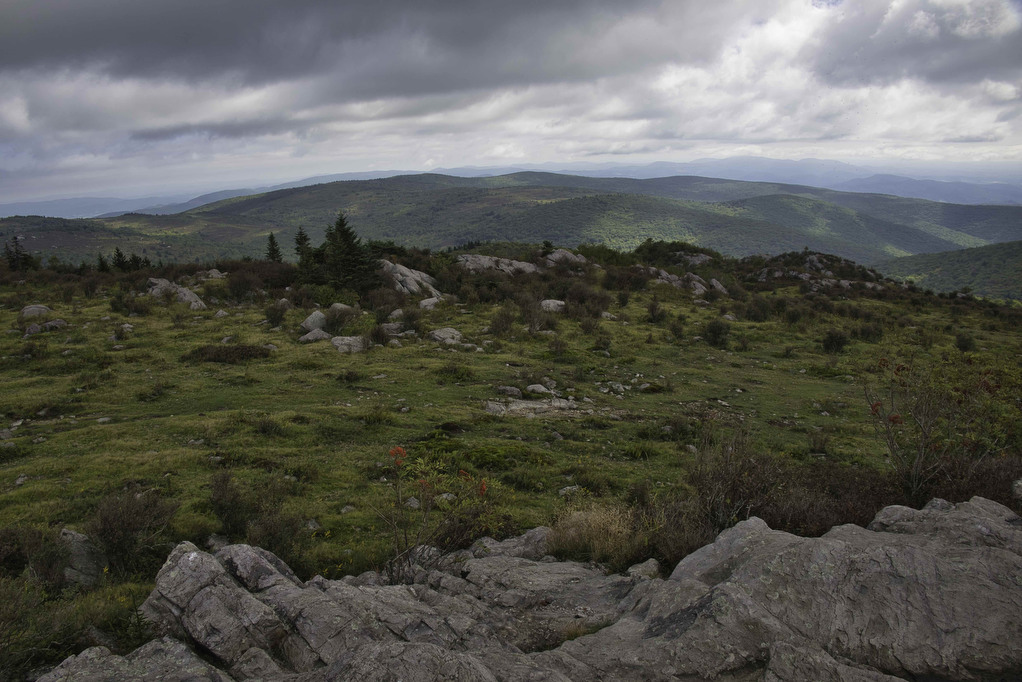
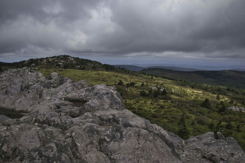
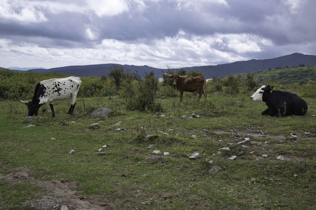
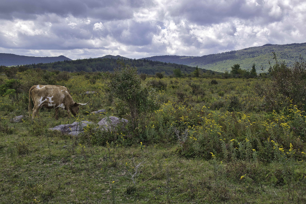
Begin a gradual descent on the rocky, unblazed Crest Trail. The fantastic views to the south continue for the next 3 miles to the Scales. This trail is popular with wild ponies and free range cattle. Longhorn cattle graze throughout the national forest. We kept our distance from the cattle and they didn’t seem to care as we passed by.
At 5.5 miles the Crest Trail ends at The Scales. Farmers grazing their cattle in the mountains used this area to gather, weigh, and sell their cattle. The trail joins the AT here. Follow the white blazes and pass through the gate into The Scales area (a pit toilet is located here) and then exit through a gate on the other side (also marked with a white-blaze).
Appalachian Trail
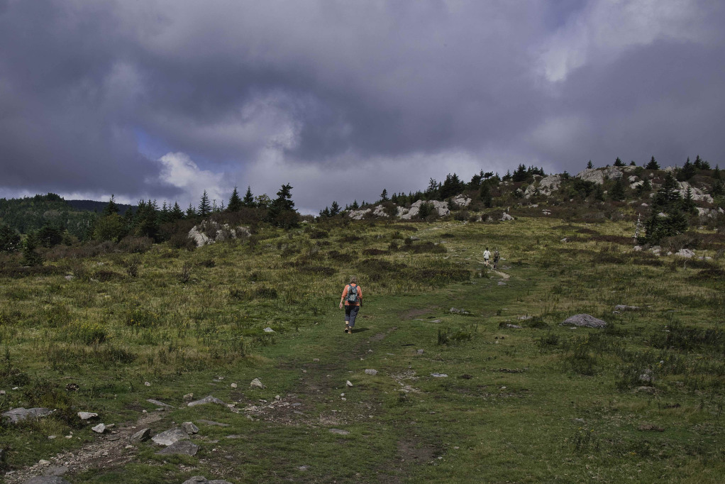
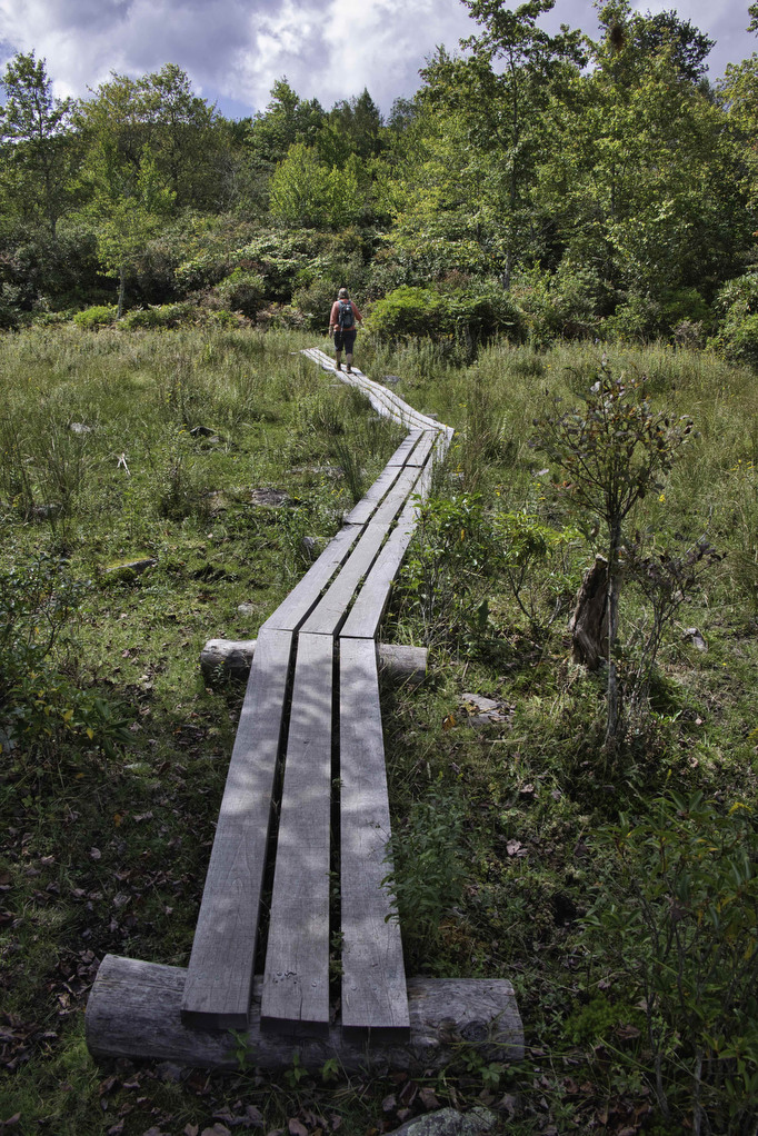
Follow the AT southbound for the next 4.5 miles. The trail begins a climb as you leave The Scales and then reaches a meadow with abundant wildflowers and views. To the west (on your right) is the rocky summit of Wilburn Ridge.
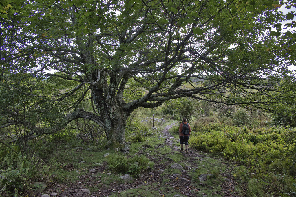
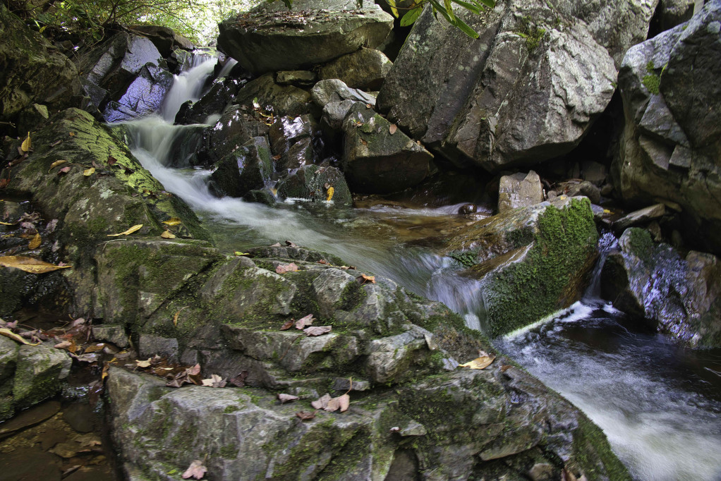
We saw more cattle and wild ponies as the AT passes through open meadows. A “kissing gate” keeps the cattle and ponies in the national forest as the AT enters Little Wilson Creek Wilderness. The terrain quickly changes from an arid mountain-top meadow to a lush green forest with spruce, fir, moss, and ferns.
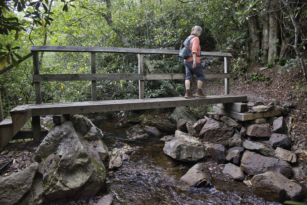
The AT crosses Big Wilson Creek via a footbridge several times before reaching the Wise Shelter. Several trails bisect the Appalachian Trail. Continue to follow the white blazes on the southbound AT. A sign welcomes you to Wilburn Ridge which is visible to your right. The views expand as you reenter wild pony territory.
The AT reaches Massie Gap at 10.4 miles. This is the junction you encountered earlier in this hike. Turn left here following the orange-blazed horse trail as you begin the descent to the parking area. Bear right on the blue-blazed Rhododendron Trail to return to your vehicle. What a fantastic hike. You deserve a beer or three.
Hike Photos:
Click on an image below for an enlarged view.
Beer Pairing:
Damascus Virginia calls itself “Trail town USA” and deservedly so. The Appalachian Trail runs directly through the town. Damascus is just “down the road” from Grayson Highlands State Park and makes a great overnight spot. We stayed at the Dancing Bear Inn which caters to hikers and bike riders. The Virginia Creeper Trail runs right through Damascus and many bike riders spend the night here.
Damascus also has a brewery, The Damascus Brewery. Located just on the outskirts of town the brewery is about 30 minutes from the trailhead. They have a nice selection of beer and on the weekends they have food trucks and live music. Pete liked the Preppy Harvard Boy, a New England style IPA. Even though he is not a preppy Harvard wannabe, the beer had a great bitter/hoppy balance and was perfect after a long day on the trail. Kathy enjoyed the Beaver Rage IPA which was nicely hoppy with a great blend of Summit, Willamette, CTZ, and Nugget hops.

Hike and drink responsibly. Never drink and drive. Stay safe, be responsible, and leave no trace.