Favorite

AT, Wilburn Ridge & Crest Loop

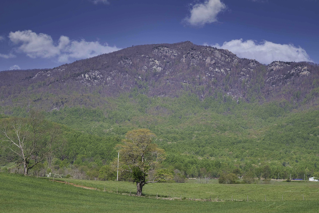
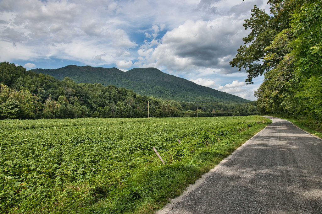
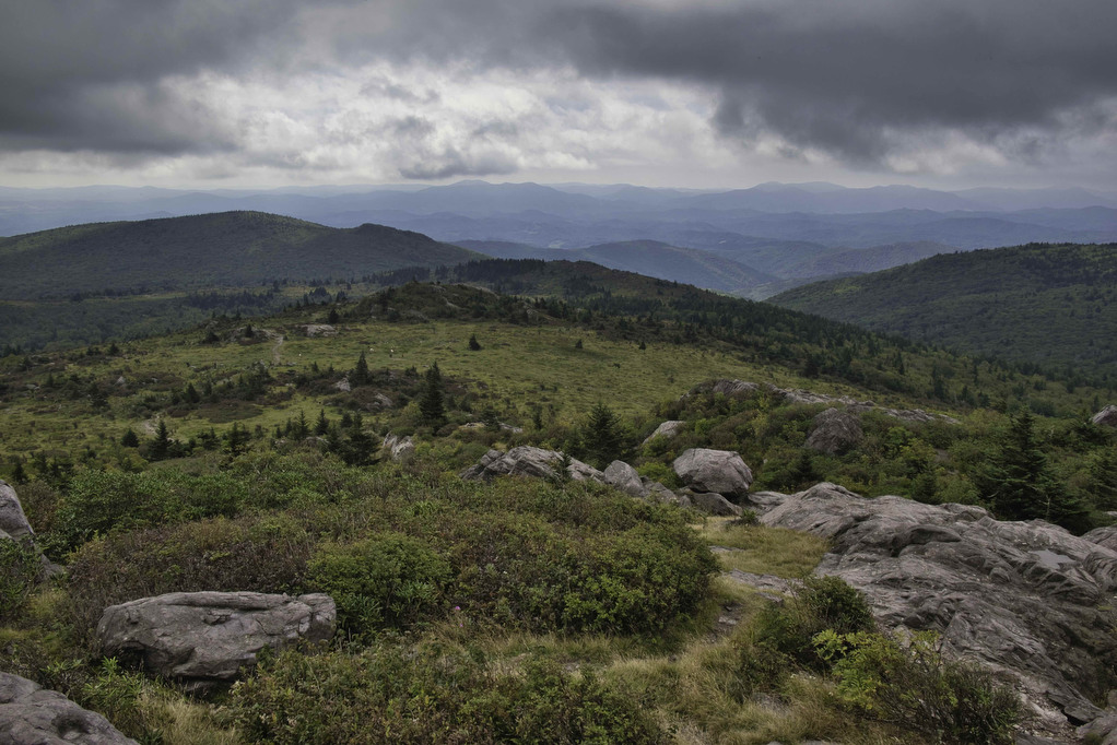
Trail Map: The Hike: This fantastic hike has a little bit of everything: sweeping vistas, wild ponies, free range cattle, rhododendrons, rock scrambles, stream crossings, and dense forests. It’s one of our all-time favorites. The trails are well marked and well maintained. Several trails are combined to form this loop so download the AllTrails map […]

AT, Wilburn Ridge & Crest Loop Read More »

Old Rag Circuit

Highlights: Rock scramble, amazing views Distance: 9.4 mile loop Elevation Change: 2,348 feet Trail Surface: Very rocky Difficulty Level: Very strenuous (rock scramble, distance, elevation)  Trailhead Parking: Old Rag parking area, route 600/Nethers Road off route 231 south of Sperryville; park entrance fee required, hike tickets required, see below Website: Shenandoah National Park and AllTrails

Old Rag Circuit Read More »

Bearfence Rock Scramble

Highlights: Fantastic views, rock scramble, Appalachian Trail Distance: 1.1 mile loop Elevation change: 217 feet Difficulty level: Moderate with rock scramble, easy without the scramble Trailhead Parking: Skyline Drive Bearfence Trailhead parking area mile 56.4, park fee required Website: Shenandoah National Park Beer Pairings: Octonia Stone Brew Works—Rokuhnite Me Amadeus lager & Worth One’s Basalt

Bearfence Rock Scramble Read More »

Dragon’s Tooth

Highlights: Great views, Appalachian Trail, rock scrambles, wildflowers, Triple Crown Distance: 5.5 miles loop Elevation change: 1,340 feet Difficulty level: Strenuous Trailhead Parking: Dragon’s Tooth Trailhead, route 311 Website: Visit Roanoke and Hiking Upward  Beer Pairings: A Few Old Goats Brewing—Oatmeal Stout & Galactic Retribution IPA  The Hike: Dragon’s Tooth was our 3rd Triple Crown

Dragon’s Tooth Read More »

Tinker Cliffs

Highlights: Great views, Appalachian Trail, wildflowers, Triple Crown Distance: 7.5 miles out and back Elevation change: 1,810 feet Difficulty level: Strenuous Trailhead Parking: Andy Layne Trail Parking, Catawba Road route 779 Website: Visit Roanoke and AllTrails Beer Pairings: Parkway Brewing Co.—Triple A Red Ale & Grapefruit Get Bent Mountain IPA  The Hike: Tinker Cliffs is

Tinker Cliffs Read More »

McAfee Knob

Highlights: Great views, Appalachian Trail, wildflowers, Triple Crown Distance: 8.1 miles out and back Elevation change: 1,820 feet Difficulty level: Strenuous Trailhead Parking: Route 311, Catawba VA Website: Roanoke Appalachian Trail Club and AllTrails Beer Pairings: Golden Cactus Brewery—Moira Brown Ale & Money Tree IPA  The Hike: The summit of McAfee is said to be

McAfee Knob Read More »

Rock Castle Gorge

Highlights: Great views, meadows, cascades, wildflowers, birdwatching, historic buildings Distance: 11.2 mile loop Elevation change: 2,226 feet Difficulty level: Strenuous Trailhead Parking: CC Camp Lane route 605, Floyd VA; alternate trailhead Blue Ridge Parkway mile 168, Saddle Overlook parking area Website: Hiking Upward and Blue Ridge Parkway, National Park Service Beer Pairings: Buffalo Mountain Brewery—McDaniel’s

Rock Castle Gorge Read More »

Three Ridges: Reeds Gap to Tye River

Highlights: Great views, Appalachian Trail, wildflowers, stream crossings Distance: 10.8 miles one way Elevation change: 2,231 feet Difficulty level: Strenuous Trailhead Parking: Reeds (Reids) Gap, Beech Grove Road, route 664 and Blue Ridge Parkway Website: AllTrails Beer Pairings: Wild Wolf Brewery—Nelsonite Brown Ale & Notorious H.O.P. IPA The Hike: Several of our friends have hiked

Three Ridges: Reeds Gap to Tye River Read More »

AT: Pinnacle to Mary’s Rock

Highlights: Views, wildlife, Byrd’s Nest #3, Pinnacle summit, birdwatching, wildflowers Distance: 7.1 miles out and back Elevation change: 1,370 feet Difficulty level: Moderate/strenuous Trailhead Parking: Pinnacles Picnic area, Skyline Drive mile 36.7, park fee required  Website: AllTrails Beer Pairings: Old Trade Brewing—Mitch is Bitter ESB & Foggy Morning IPA The Hike: There are several ways

AT: Pinnacle to Mary’s Rock Read More »

Devil’s Marbleyard

Highlights: Amazing rock scramble and great views Distance: 3.8 miles out and back Elevation change: 1,150 feet Difficulty level: Moderate/Strenuous Trailhead Parking: VA 781 (Petites Gap Road) small parking area at Belfast Trailhead, 4.5 miles south of Blue Ridge Parkway Website: US Forest Service Beer Pairings: Great Valley Farm Brewery—IPA & Coffee Stout The Hike:

Devil’s Marbleyard Read More »