

- Highlights: Great views, meadows, cascades, wildflowers, birdwatching, historic buildings
- Distance: 11.2 mile loop
- Elevation change: 2,226 feet
- Difficulty level: Strenuous
- Trailhead Parking: CC Camp Lane route 605, Floyd VA; alternate trailhead Blue Ridge Parkway mile 168, Saddle Overlook parking area
- Website: Hiking Upward and Blue Ridge Parkway, National Park Service
- Beer Pairings: Buffalo Mountain Brewery—McDaniel’s Scotch Ale & Copperhead IPA
The Hike:
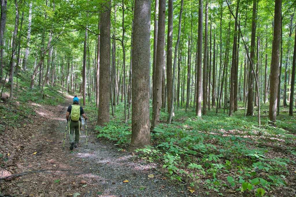
Rock Castle Gorge has been on our bucket list for years. This hike truly has something for everyone: stream crossings, cascades, rock scrambles, meadows, old buildings, wildflowers, wildlife, and cows. There are several starting points for this loop hike. We decided to begin at the bottom of the gorge and work our way up the the Parkway and then descend back to the gorge going counterclockwise.
The hike passes beside the Blue Ridge Parkway for several miles so it is possible to start at the top and descend into the gorge and then climb back up. Counterclockwise seems to be the preferred direction regardless of the starting point. We decided to get the very steep section out of the way first.
The entire loop is well marked with green blazes and mileage signs. There will be several trail junctions near the Parkway, just follow the green blazes. The lower trailhead begins near a small parking area on CC Camp Lane. A kiosk has a trail map and information about the hike. Cross a bridge over the creek on a fire road and in 100 yards, turn sharply right to begin your climb. Rocky Knob is 4 miles ahead. The climb begins immediately and becomes significantly steeper.
Little Rock Castle Creek runs beside the trail. Cross the first of many footbridges over the creek. At .5 miles the trail moves away from the creek and becomes very steep and rocky. There is a small rock scramble as the trail climbs over 1,000 feet in less than one mile. After the scramble, the climb continues but is more gradual.
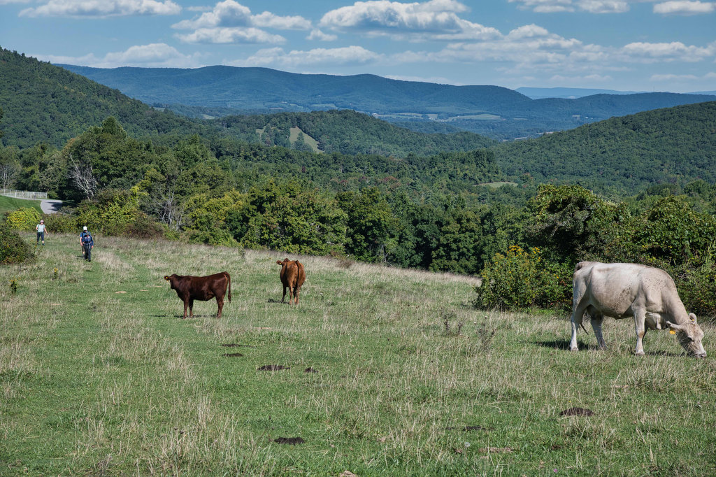
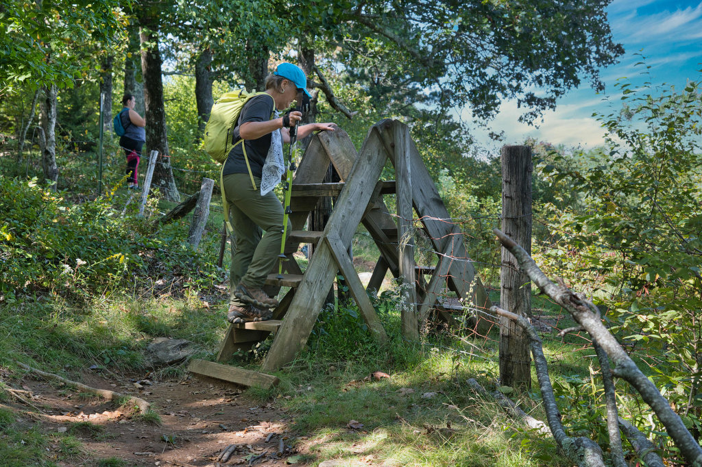
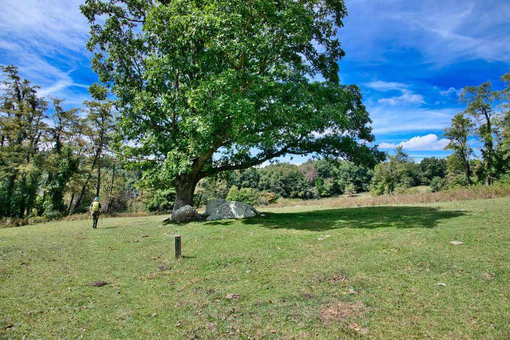
Reach the first of four fence stiles at about 3 miles as you enter a cow pasture. The Rocky Knob Campground and Blue Ridge Parkway are on the right. Cows graze in this pasture so watch your step. The trail through the pasture is marked with posts blazed in green. Dodge the cows and take in the views as you climb through the open field. At the top of the hill, the trail passes through a fat-man squeeze opening in the fence into the forest.
Reach the Saddle Overlook on the Parkway at 3.5 miles and cross through the parking area where the trail enters the forest. Reach a trail junction in a few hundred yards and bear left to stay on the green blazed trail. The summit of Rocky Knob is at 4 miles and there is an old Appalachian Trail shelter here. The AT was rerouted to the west in the 1950s and this section of the trail is the route of the old AT. There are some great views to the west as the climb upward continues.
The blue-blazed Rocky Knob trail joins the route of this hike at 4.5 miles and the trail will be blazed green and blue for the next few miles. The views keep coming as you pass the Rock Castle Gorge and Twelve O’clock Knob Overlooks. A Parkway visitor center can be reached from either overlook if you need water or a rest room.
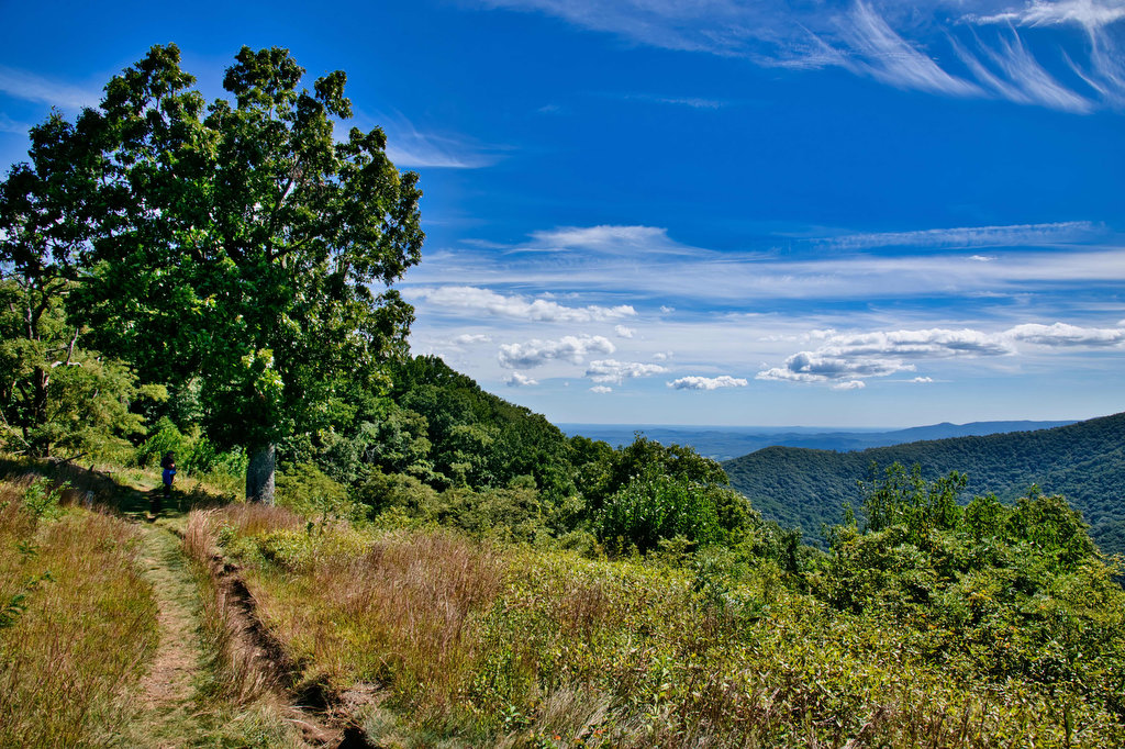
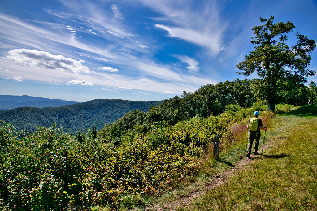
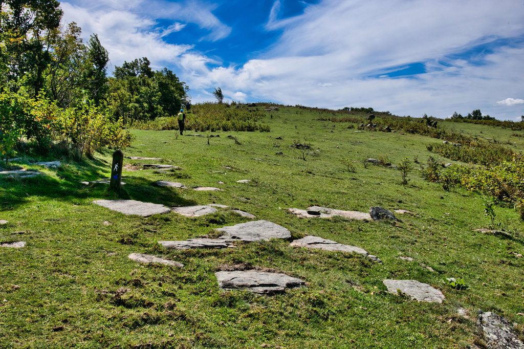
Cross another fence stile at 5.8 miles and enter a pasture strewn with large boulders and views to the north. The Black Ridge Trail soon branches off to the right. Stay left on the green blazed trail passing through another fat-man squeeze. After a short stretch through the woods climb another fence stile and reach Grassy Knoll at 6.6 miles. Cows, apple trees, and wildflowers coexist in this meadow.
After over six miles of climbing, the rest of this hike is downhill. The trail enters the forest and begins the descent with several steep sections. Climb over the last fence style and then a stream crossing. Rhododendron line the path and at 7.6 miles a 40-foot-high cascade is on your right.
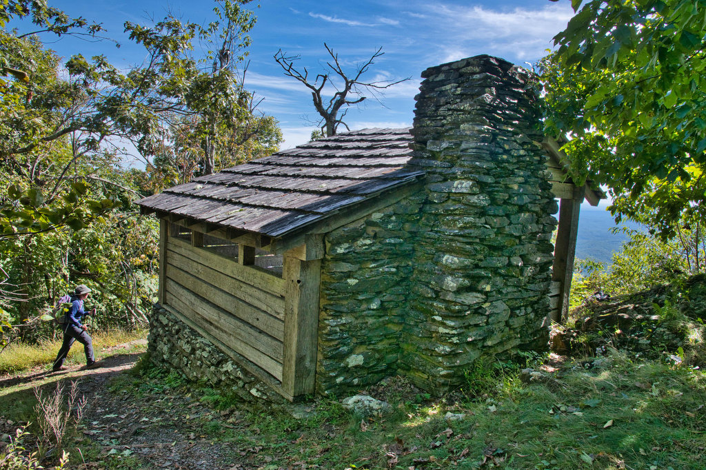
Bare Rocks is a rock scramble through boulders at 8 miles. A small cave is on the right. Just past the scramble is an old chimney, a reminder of the families who once lived and farmed in this area. Rhododendron, mountain laurel, and wildflowers are abundant here. Spring would be the ideal time for this hike when the cascades are full of water and the wildflowers are in bloom.
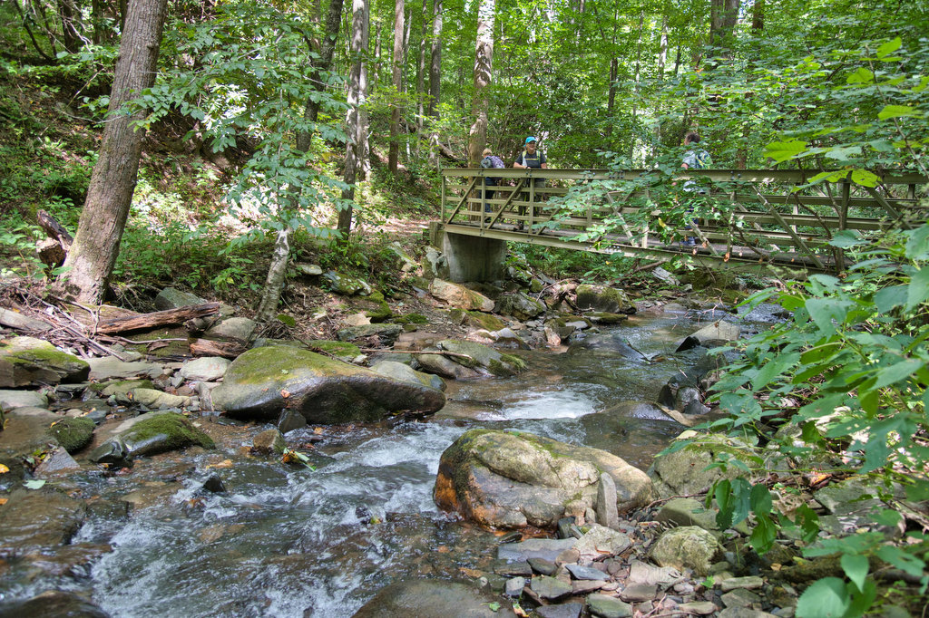
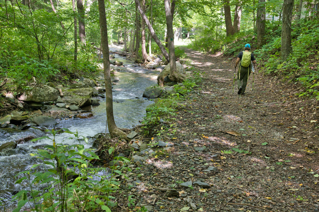
Cross the first of six metal footbridges over Rock Castle Creek at 8.4 miles. The creek will be your companion for the rest of this hike. Rock Castle Cascades is on the right, a 70-foot-high waterfall. The trail widens becoming a fire road and crosses over the creek several times. The wildflowers in this area in the spring and summer are stunning.
At 9.5 miles is the Austin House and barn, both are private property. Black walnut trees and even more wildflowers line the route. A primitive camping area is on the left at the site of a former Civilian Conservation Corps camp. At 11.2 miles, reach the junction with the fire road and the green blazed trail. Stay straight here to return to the parking area and your vehicle.
Hike Photos:
Click on an image below for an enlarged view.
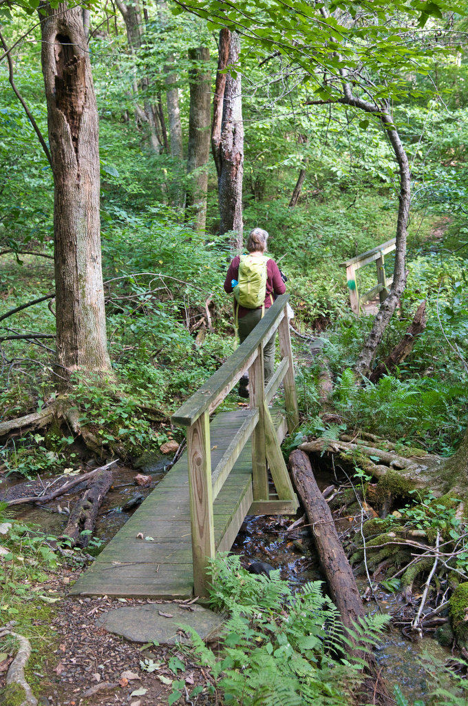
Crossing Little Rock Castle Creek 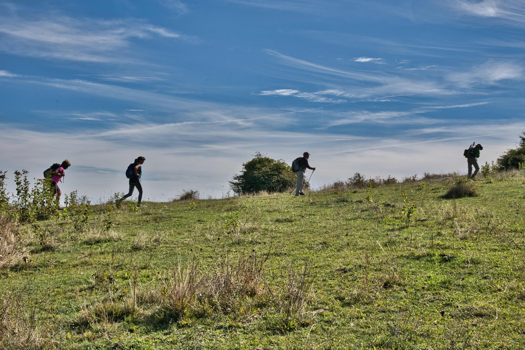
Former AT Shelter at Rocky Knob 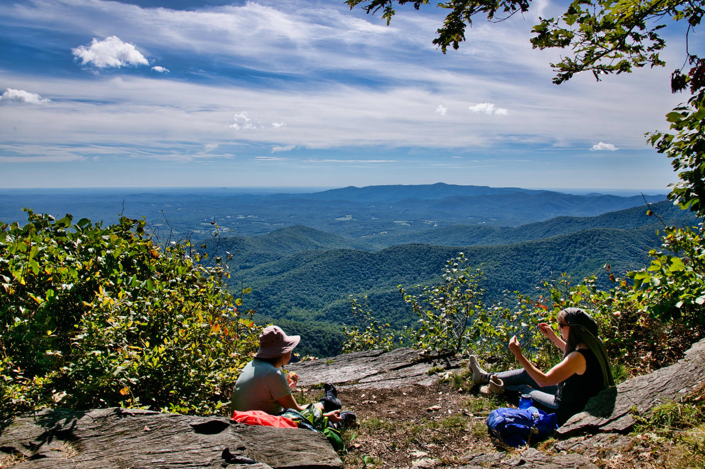
Rocky Knob 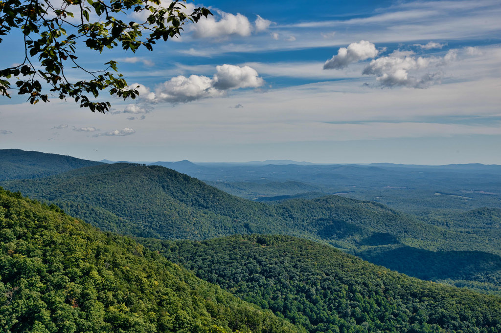
Fence Stile 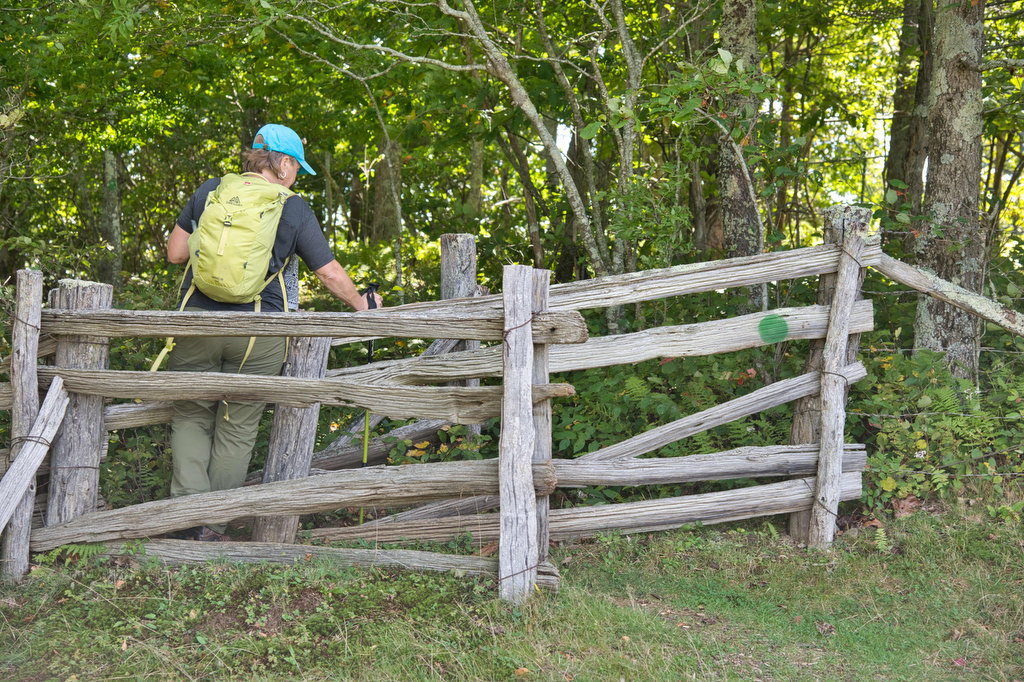
Kathy Easily Passes Through the “Fat-Man Squeeze” 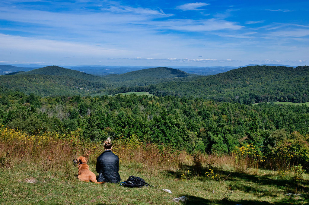
Grassy Knoll 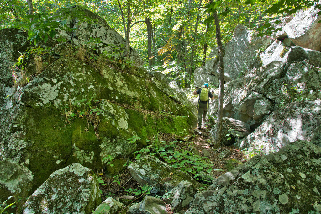
Entering Bare Rocks Scramble 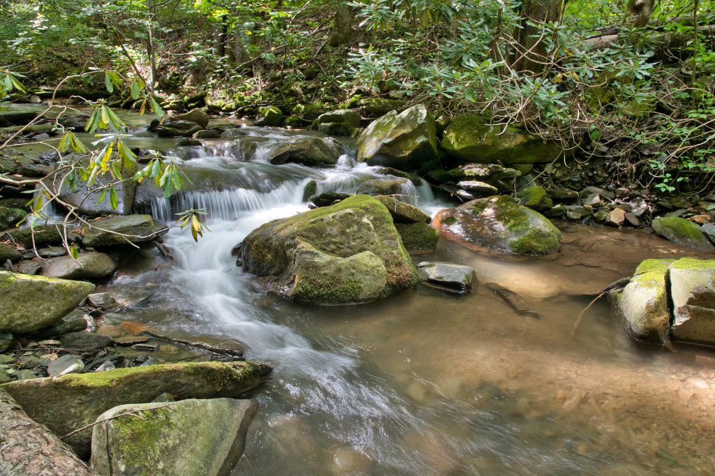
Rock Castle Creek 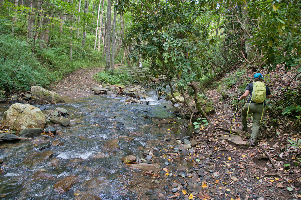
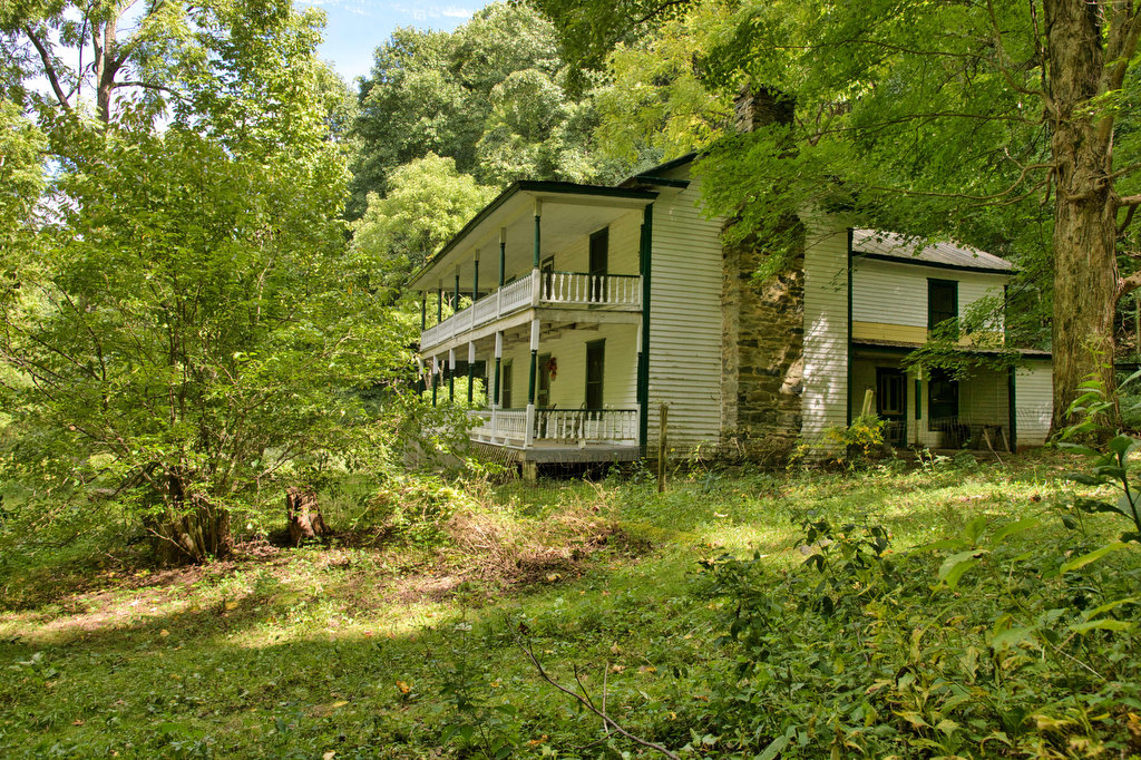
Austin House
Beer Pairing:
Just a few miles west of the trailhead in Floyd Virginia is the Buffalo Mountain Brewery. They have a nice selection of craft beer, indoor and outdoor seating, food, and live music on weekends. Dogs are welcome outside. This is a friendly family-owned brewery and we definitely plan to return.
Kathy really liked Copperhead IPA. It is medium bodied and moderately strong, hoppy, and bitter but very smooth. It was really good. Pete listened to several rave reviews about McDaniel’s Scotch Ale and decided to give it a try. It was nicely malted with a deep ruby color and notes of caramel with a roasted malt finish. After the brewery, visit the Floyd Country Store for some great Bluegrass and Americana music.
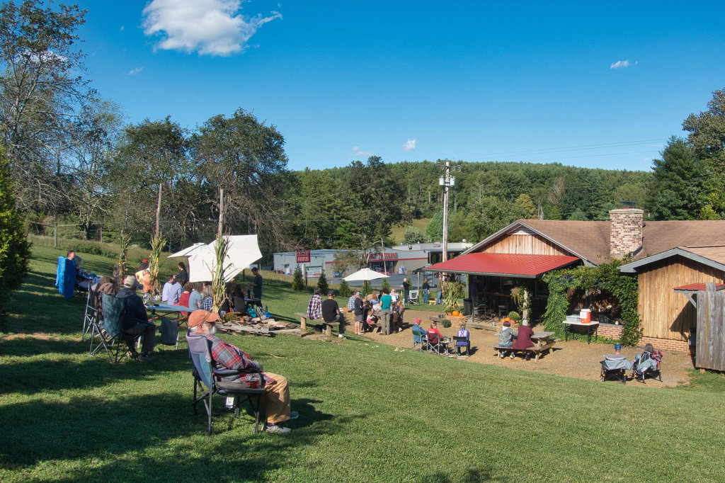
Buffalo Mountain Brewery beer garden 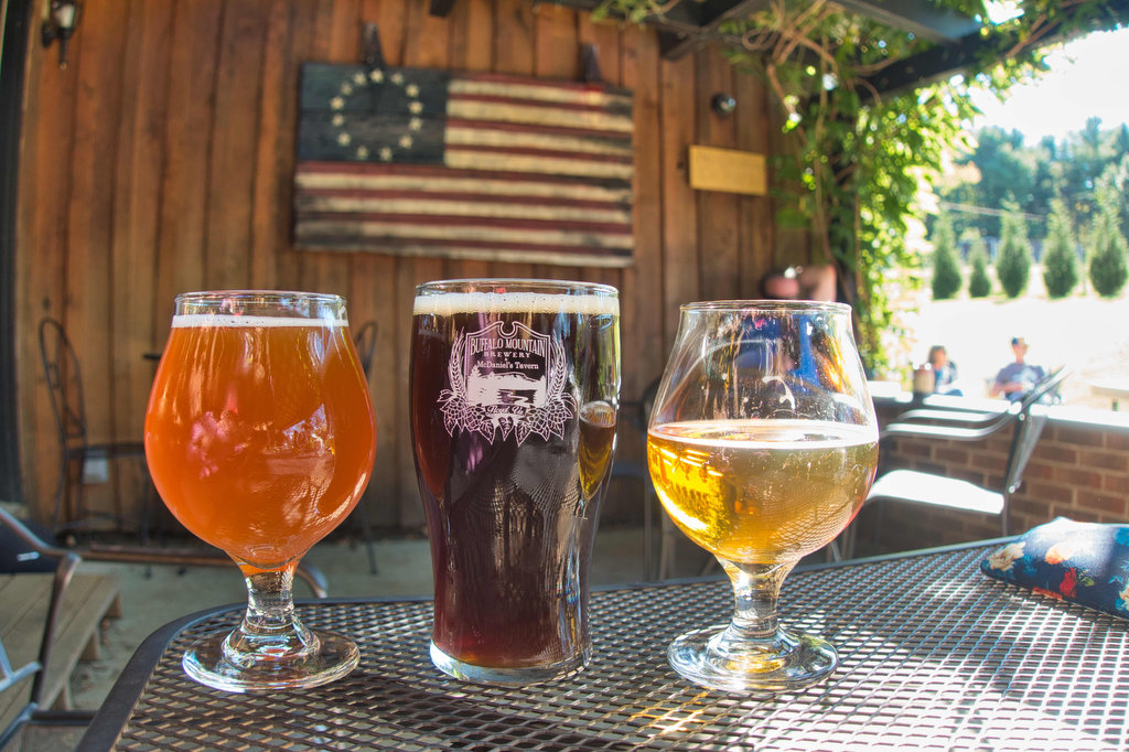
Buffalo Mountain Brewery 
Buffalo Mountain Brewery 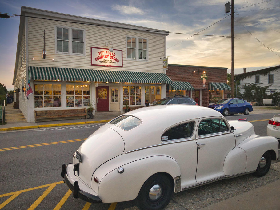
The Floyd Country Store 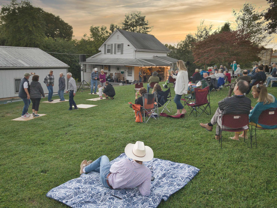
Friday Night Jamboree in Floyd
Hike and drink responsibly. Never drink and drive. Stay safe and be responsible.