
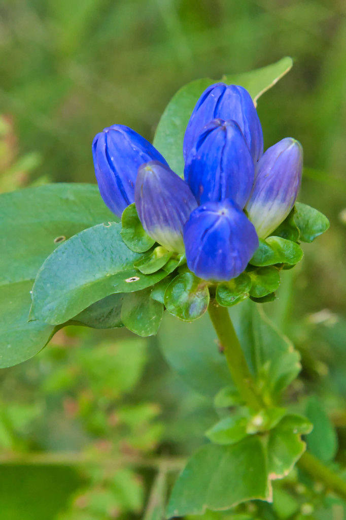
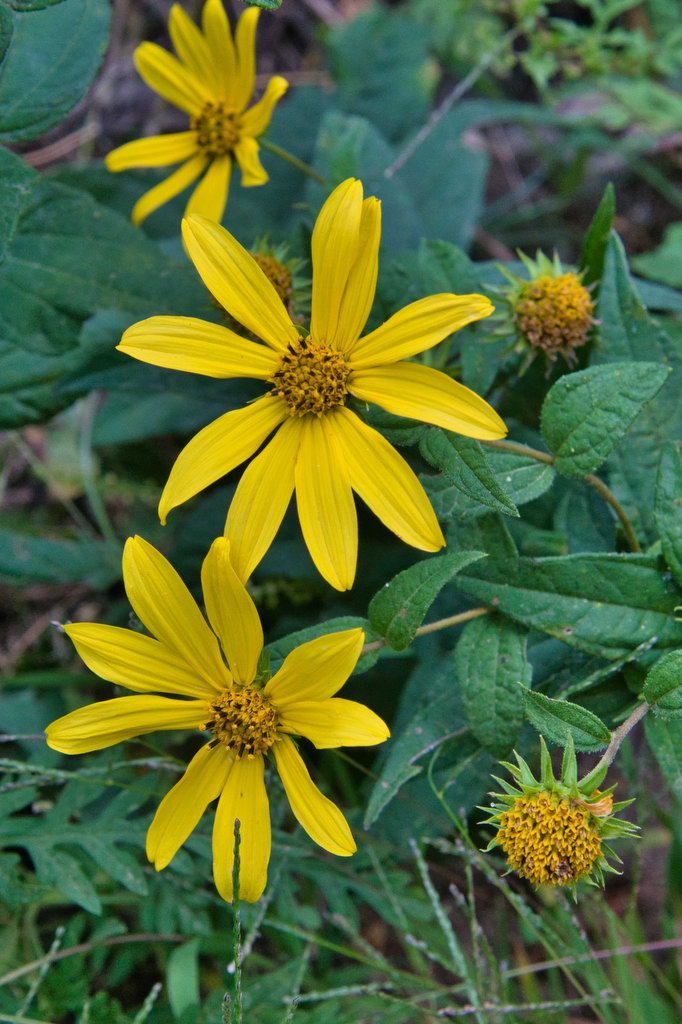
- Highlights: Great views, Appalachian Trail, wildflowers, stream crossings
- Distance: 10.8 miles one way
- Elevation change: 2,231 feet
- Difficulty level: Strenuous
- Trailhead Parking: Reeds (Reids) Gap, Beech Grove Road, route 664 and Blue Ridge Parkway
- Website: AllTrails
- Beer Pairings: Wild Wolf Brewery—Nelsonite Brown Ale & Notorious H.O.P. IPA
The Hike:
Several of our friends have hiked Three Ridges starting from the Tye River and coming back on the Mau-Har trail. That hike is best done as an overnight backpacking hike as it is nearly 15 miles with over 4,000 feet of elevation gain. Our camping days are behind us so we decided to do this as a one day hike. We left one vehicle at the Tye River parking area on route 56 and brought the other car to Reeds Gap near the Blue Ridge Parkway.
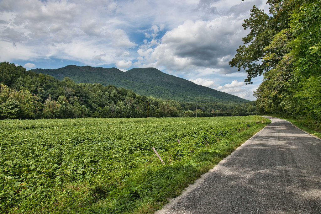
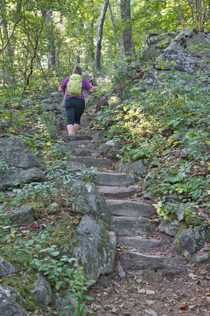
The Reeds Gap parking area has room for about 20 vehicles and when we arrive early on a Saturday there were only a few available spaces. The AT passes right beside the parking area. Turn right on the AT and follow the white-blazed trail south. This hike is entirely on the AT; however, there are a few junctions with other trails. The climb begins almost immediately as you ascend Meadow Mountain.
The oaks and maples block out much of the view as you reach the first summit at about .8 miles. The trail levels out somewhat and you reach a trail junction at 1.7 miles. The Mau-Har trail and a short spur trail to the Maupin Field Shelter branch off the the right. There is also a trail kiosk here. Bear left to stay on the AT and soon a sign announces you are entering the Three Ridges Wilderness.
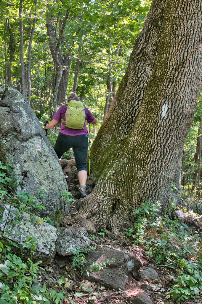
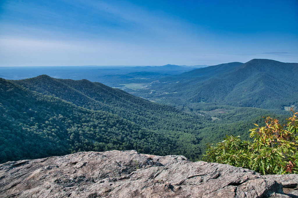
The AT begins a short but steep climb to the summit of Bee Mountain and then a steeper climb to the north ridge of Three Ridges. At 3.7 miles the trail reaches Hanging Rock. Great views open up to The Priest which looms directly in front of you. To the left is a nice view of Three Ridges. Pass through a wall of mountain laurel and at 5.9 miles reach Chimney Rock with nice views to the east.
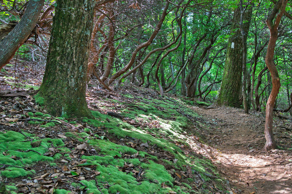
Just past Chimney Rock is another great overlook on the right. A large flat rock surface opens up to even more great views to the south and west. This is a great place for lunch or a snack. The AT begins a steep and rocky descent as mountain laurel and rhododendron line the trail. Another nice viewpoint is on the left at about 6.3 miles. Switchbacks and stone steps ease the descent. Some of the rocks in the trail are loose, take your time and watch your footing.
At 7.9 miles reach the Harper’s Creek Shelter and a stream crossing. After a long and rocky descent, the AT begins a gradual climb for the next mile. The trail surface is mostly dirt now with just a few rocks. At 8.8 miles, the AT reaches a junction with the southern end of the Mau-Har Trail. Stay straight on the AT as the descent becomes even steeper.
The trail levels out as you reach the Tye River. A suspension foot bridge crosses the river and leads to state route 56 and the Tye River parking area. Drive back to get your other vehicle at Reeds Gap. It’s just a short drive from Reeds Gap to Route 151 with lots of great breweries, ciders, and wineries.
Hike Photos:
Click on an image below for an enlarged view.
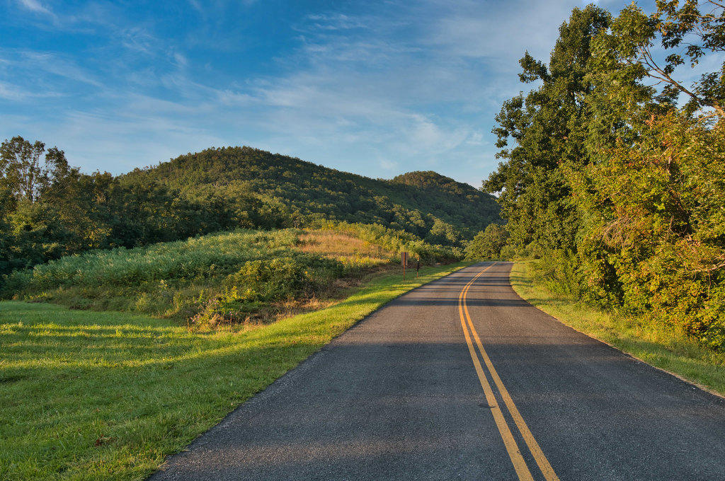
Reeds Gap, Blue Ridge Parkway 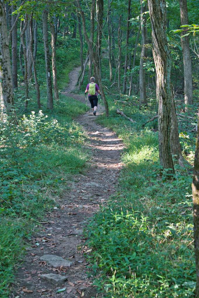
Hanging Rock 
View from Chimney Rock 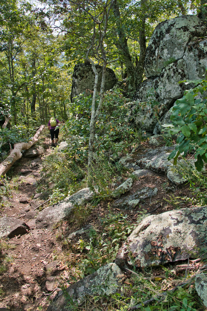

Flat Rock Overlook 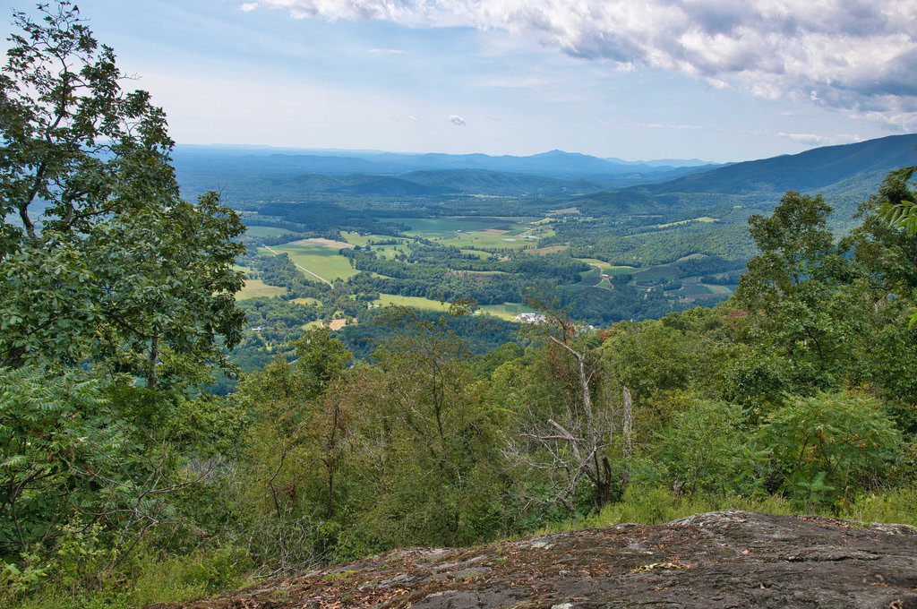


Tye River Suspension Bridge
Beer Pairing:
There are lots of great breweries on the Brew Ridge Trail within a short drive of this hike. We hadn’t been to Wild Wolf Brewing Co. in a while so we thought it was time for a return visit. Wild Wolf is located in a 100 year old former schoolhouse. They indoor and outdoor seating, are kid and pet friendly, and have a nice variety of food options. The outdoor beer garden has nice mountain views.
Pete liked Nelsonite, a brown ale with notes of chestnut and toffee. The flavor of roasted malts and a nutty finish make this a nice session brown. Kathy was intrigued by the Notorious H.O.P. IPA, at 70 IBUs it was by far their hoppiest beer. Brewed with local malts, it was an easy drinking IPA with a smooth finish.
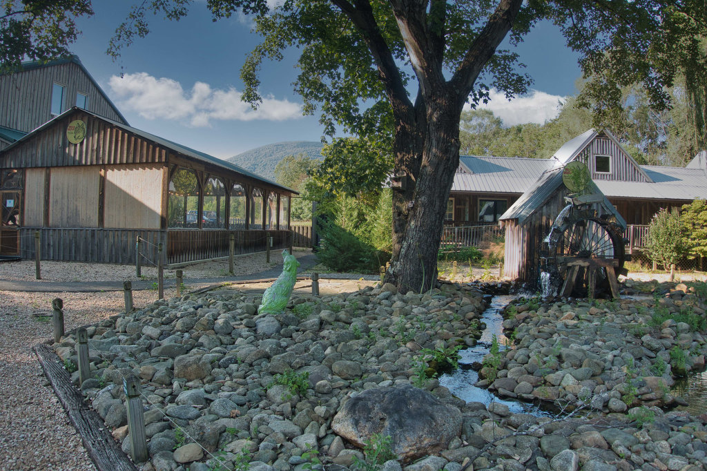
Wild Wolf Brewing Co. 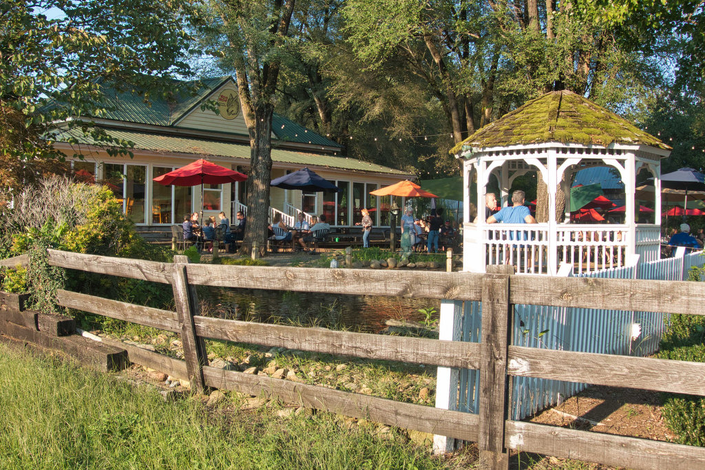
Hike and drink responsibly. Never drink and drive. Stay safe and be responsible.
Such beautiful photos and a great trail description! Thank you