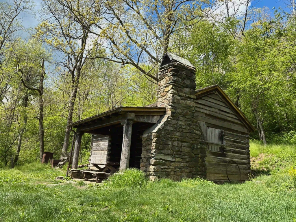
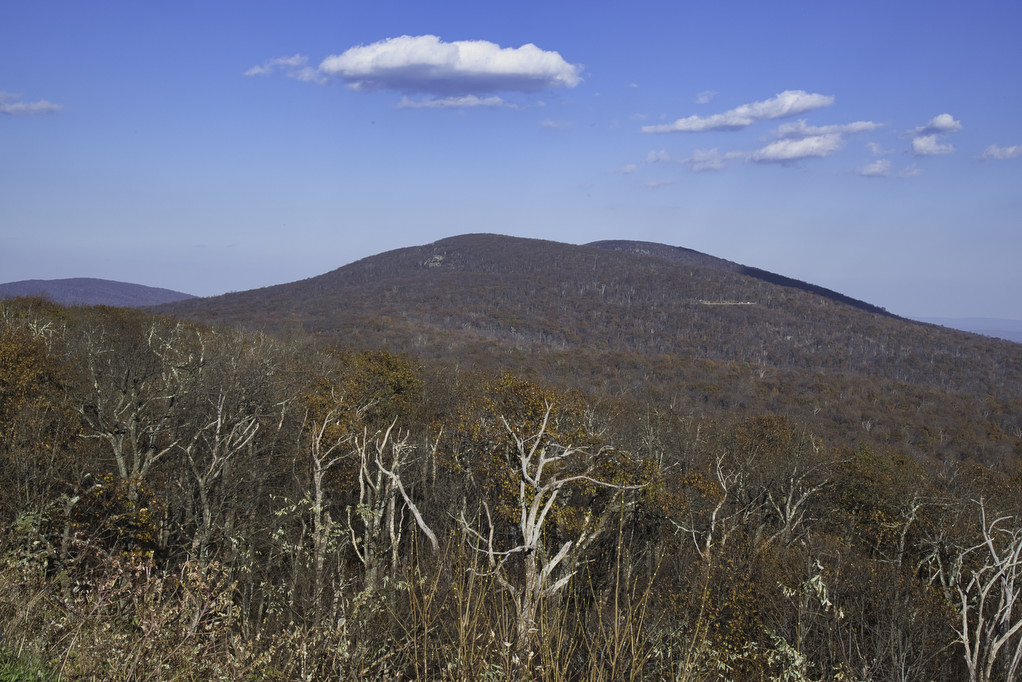
Shenandoah National Park

Jarman Gap-Turk Mt. Loop

Trail Map: The Hike: The popular trails in Shenandoah National Park get crowded on summer weekends. This hike is a hidden gem. It has some solitude, lots of stream crossings, and great views from the summit of Turk Mountain. A cement post near Skyline Drive marks the trailhead. Pass through the yellow posts and chain […]

Jarman Gap-Turk Mt. Loop Read More »

Mount Marshall via the AT

Trail Map: The Hike: We were originally planning to do this hike in mid-October for peak foliage views. However, we had too many schedules to coordinate so we hiked on a beautiful day in early November after all the leaves were down. Pete’s sister Nan, our niece Hannah, and nephew Jack joined us on this

Mount Marshall via the AT Read More »

Big Meadows Waterfall Loop

Trail Map: The Hike: We have hiked to both Dark Hollow Falls and Rose River Falls and they are both great hikes. This hike combines both falls and includes a short stretch on the Appalachian Trail. Note pets are not allowed at Dark Hollow Falls. Navigating through the campground at the beginning of the hike

Big Meadows Waterfall Loop Read More »

Staunton River Trail to Bear Church Rock

Trail Map: The Hike: We first hiked to Bear Church Rock several years ago from Bootens Gap in Shenandoah National Park. This hike begins just outside the park in Graves Mill. The trail passes beside two rivers as it climbs to Bear Church Rock. This hike combines segments of several trails, so pay attention at

Staunton River Trail to Bear Church Rock Read More »

Hightop Mountain

The Hike: Hightop Mountain (3,587’) is the highest peak in Shenandoah’s South District. The summit can be reached either from the south or the north via the Appalachian Trail. The most popular climb to Hightop Summit is a 3-mile out and back hike which scales the northern side of the mountain. From the Hightop Parking

Hightop Mountain Read More »

Browns Gap to Blackrock Summit

Highlights: Great views, Appalachian Trail Distance: 5.4 miles out and back Elevation Change 646 feet Trail Surface: Dirt with rocky sections Difficulty Level: Moderate (distance, rocky sections) Trailhead Parking: Brown’s Gap parking area, Skyline Drive MP 83 Website: AllTrails and Shenandoah National Park Beer Pairings: Champion Brewing Ice House—Hatchback Lyfe IPA & Festbier The Hike:

Browns Gap to Blackrock Summit Read More »

Mary’s Rock AT North

Highlights: Appalachian Trail, amazing views, mountain laurel in June Distance: 3.7 miles out and back Elevation Change: 1,210 feet Trail Surface: Very rocky Difficulty Level: Moderate (rocky surface, elevation gain) Trailhead Parking: Panorama parking area, Skyline Drive MP 31.5; park entrance fee required Website: Shenandoah National Park and AllTrails Beer Pairings: Hawksbill Brewery—Hooray for Luray

Mary’s Rock AT North Read More »

Old Rag Circuit

Highlights: Rock scramble, amazing views Distance: 9.4 mile loop Elevation Change: 2,348 feet Trail Surface: Very rocky Difficulty Level: Very strenuous (rock scramble, distance, elevation)  Trailhead Parking: Old Rag parking area, route 600/Nethers Road off route 231 south of Sperryville; park entrance fee required, hike tickets required, see below Website: Shenandoah National Park and AllTrails

Old Rag Circuit Read More »

Big Devil Stairs

Highlights: AT shelter, mountain and gorge views Distance: 7.5 miles out and back Elevation change: 1,237 feet Difficulty level: Strenuous Trailhead Parking: Keyser Run parking area, Skyline Drive mile post 19.4, park entrance fee required Website: AllTrails Beer Pairings: Tap 29—Are We There Yet? IPA & Pit Stop Pilsner The Hike: Big Devil Stairs is

Big Devil Stairs Read More »