

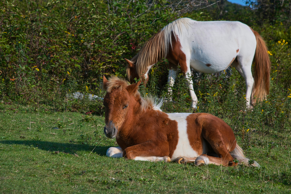
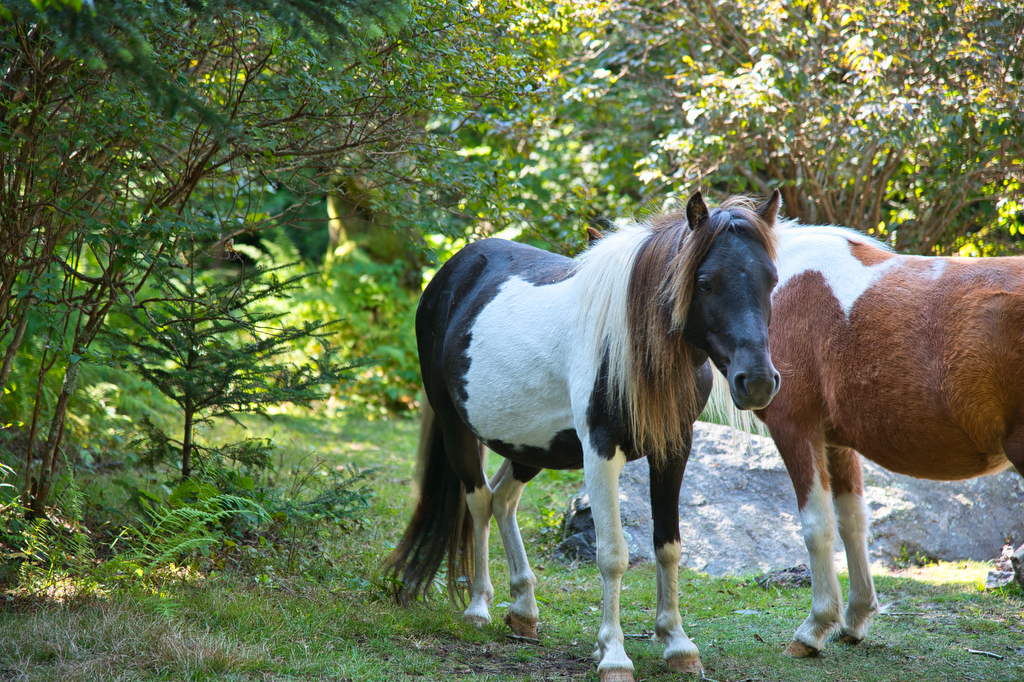
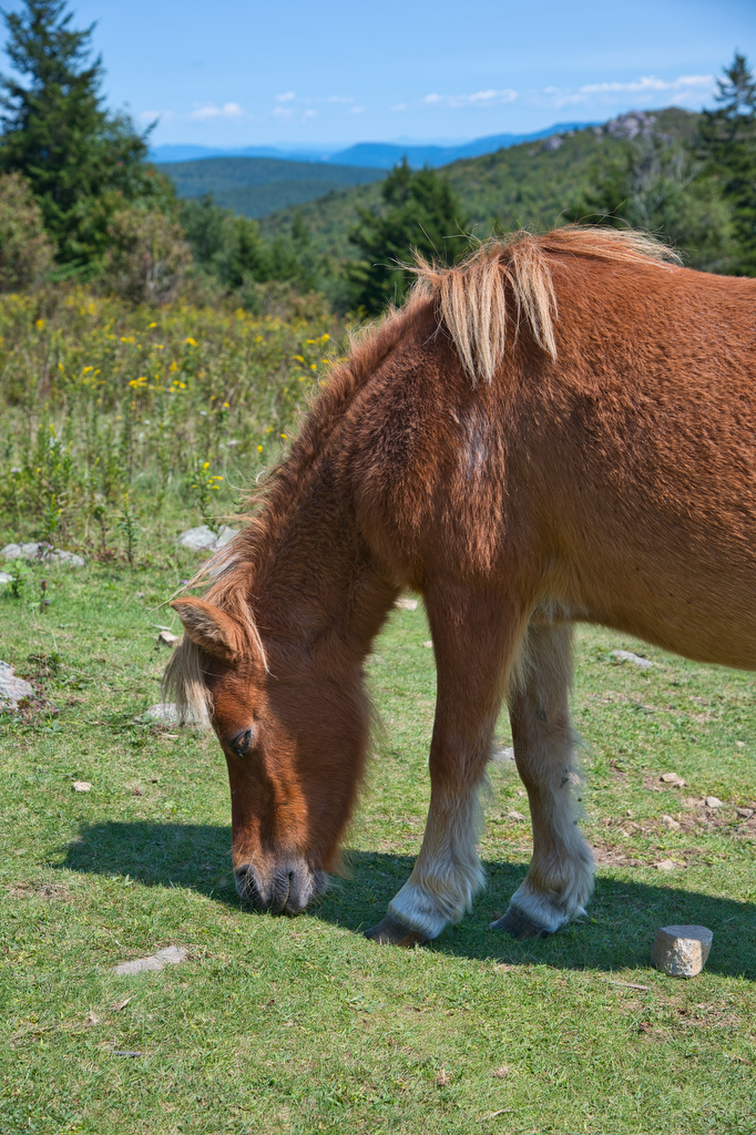
- Highlights: wild ponies, wildflowers, wildlife, great views, highest peak in Virginia
- Distance: 8.9 mile loop
- Elevation change: 1,300 feet
- Difficulty level: Moderate/difficult
- Trailhead Parking: Grayson Highland State Park, Massie Gap parking area; park fee required
- Website: Grayson Highland State Park Trail Guide
- Beer Pairings: South Street Brewery Satan’s Pony
The Hike:
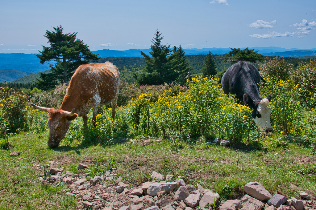
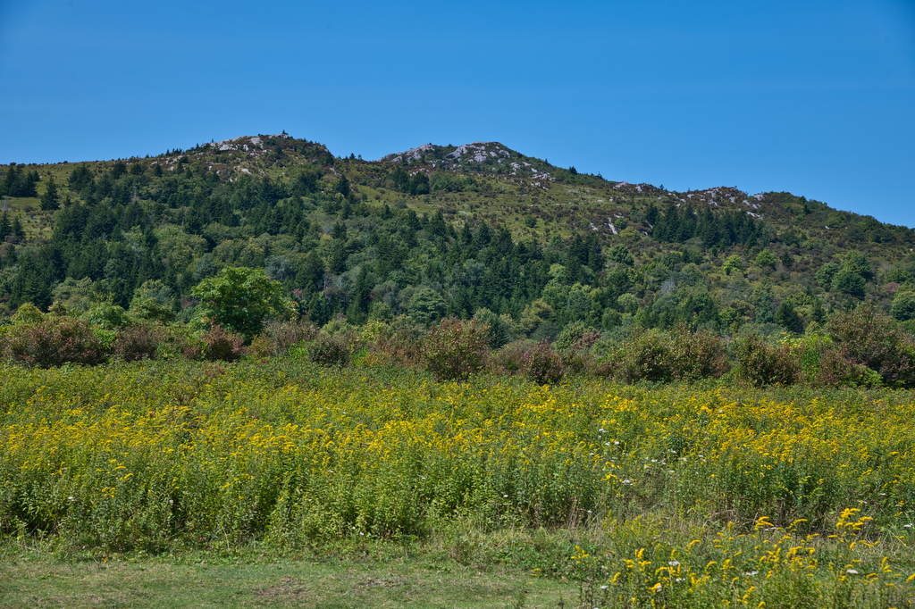
At a height of 5,728’, Mount Rogers is the tallest peak in Virginia. Even if it weren’t the highest peak, it would still be a “must do/bucket list hike”. The scenery is fantastic, the wild ponies and free-range cattle add to the experience making it a hike unlike any other in Virginia.
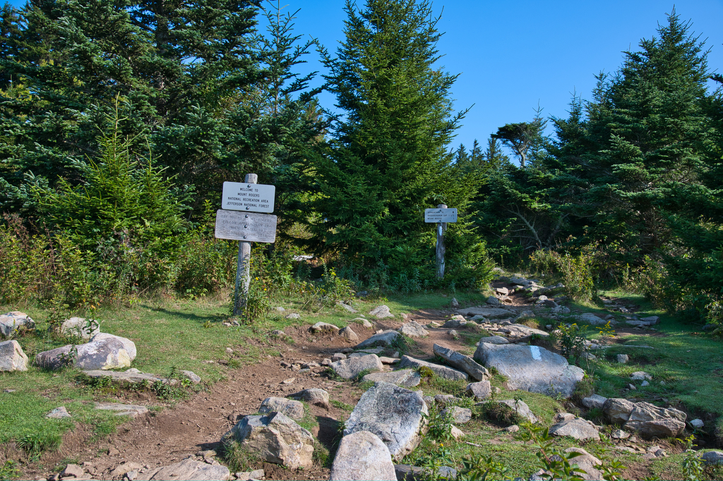
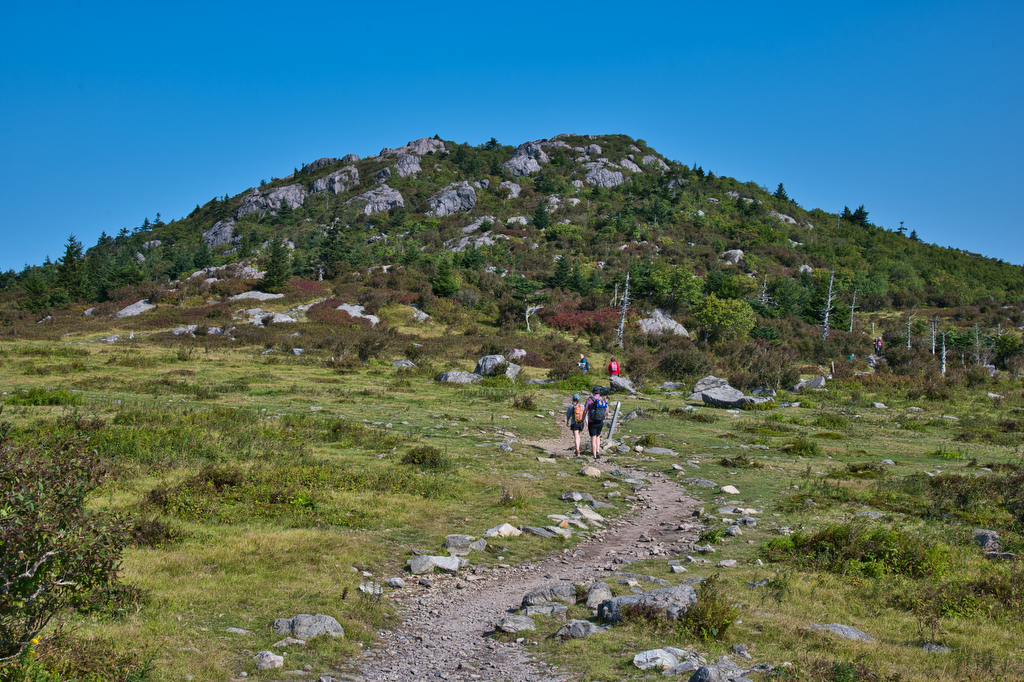
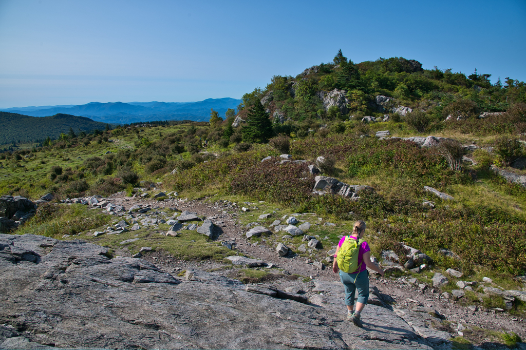
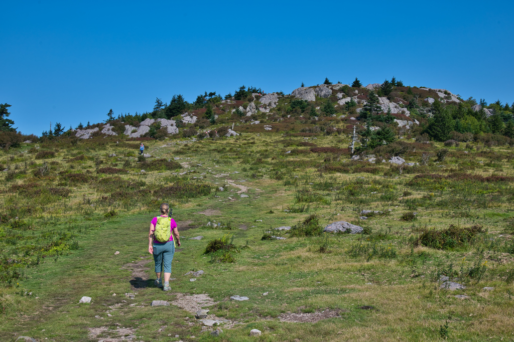
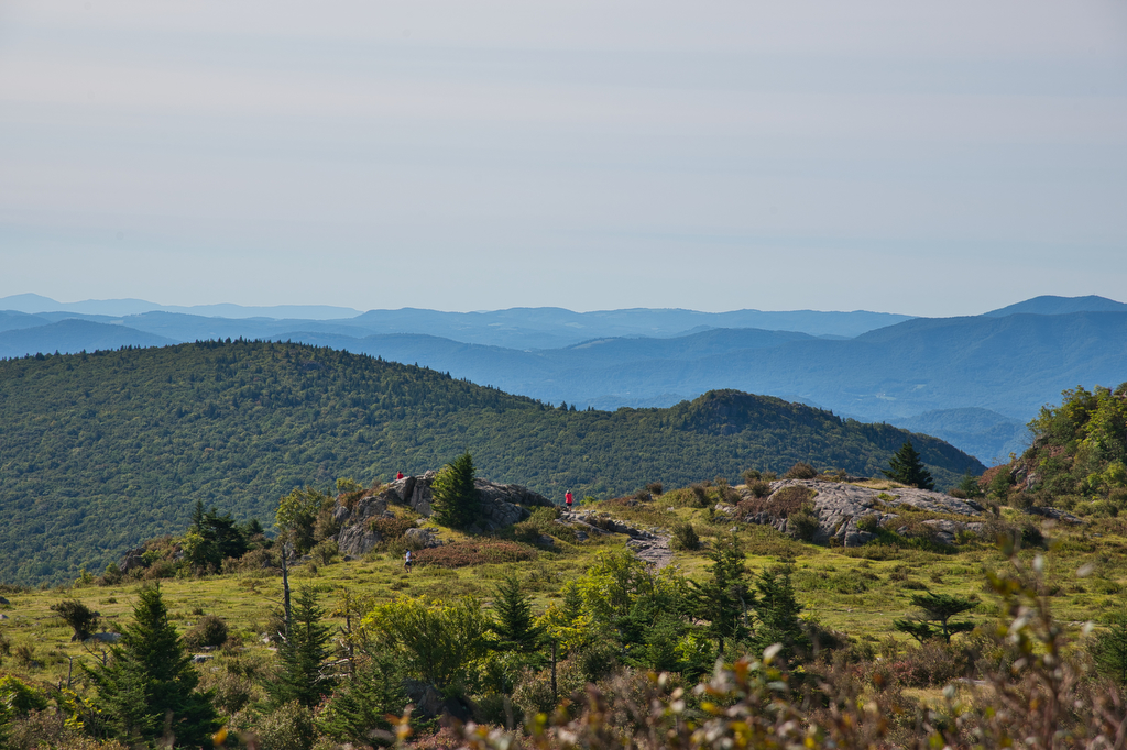
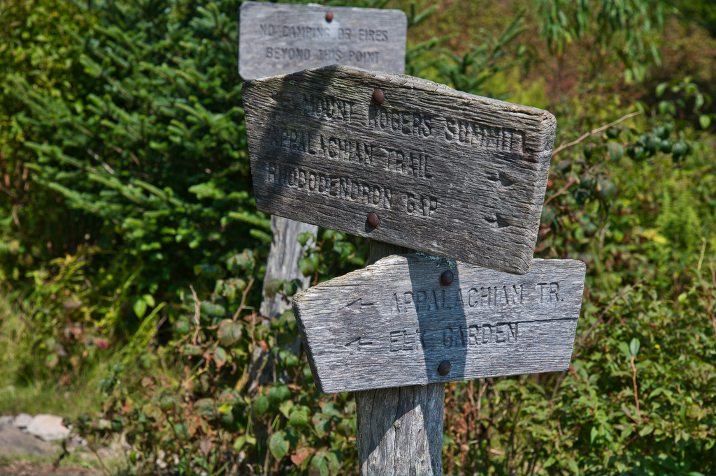
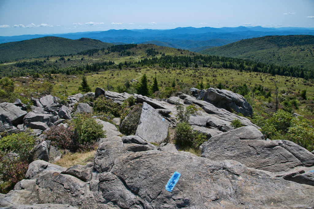
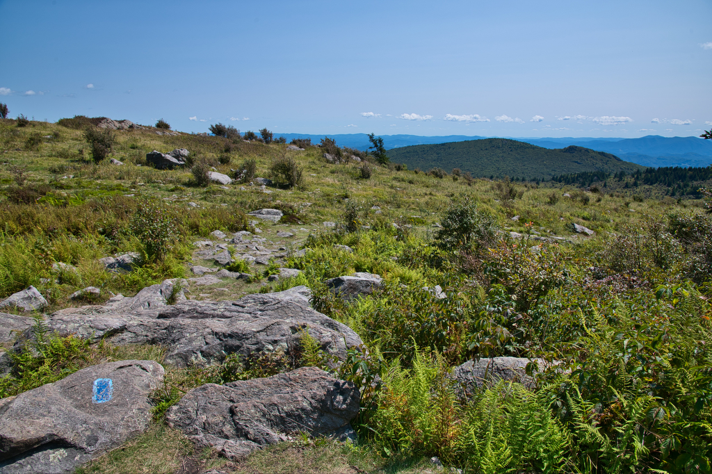
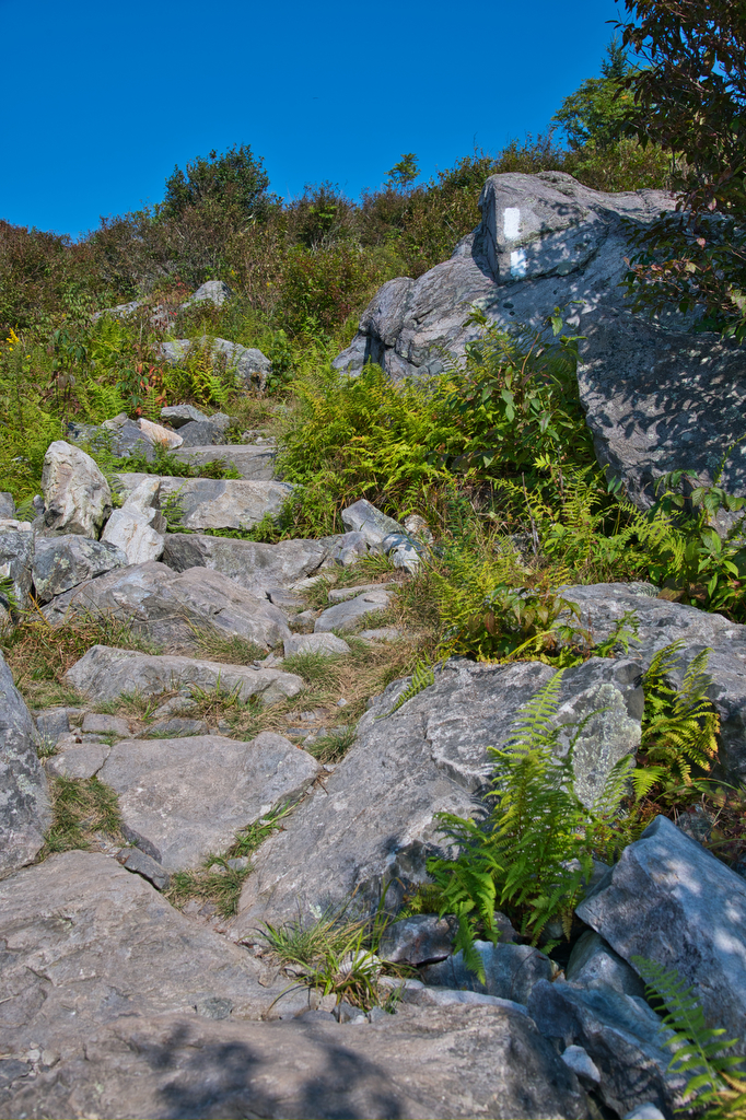
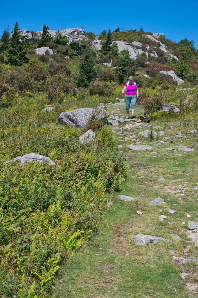
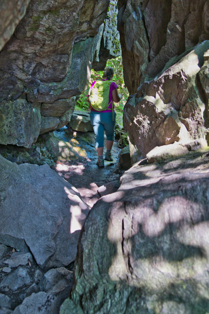
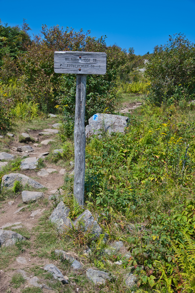
There are several places to begin this hike. We like the starting in Grayson Highlands State Park at Massie Gap. From the parking area, go through the gate to the Rhododendron trail for about 3/4 miles until you reach the junction of the Virginia Highlands Connector Trail. Take a left on this trail for about 1/4 mile and it will reach a junction with the Appalachian Trail (AT). Stay on the AT with its white marked blazes. There will be several trail junctions but stay on the AT. At Rhododendron Gap there is a large rock outcropping. Scramble to the top for a fantastic view.
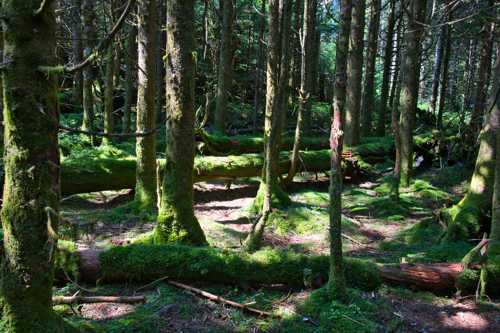
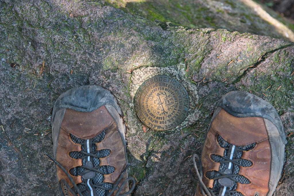
Stay on the AT (heading south). You will pass by the Thomas Knob Shelter. Continue on the AT. You will soon reach a junction for the Mount Rogers Spur Trail. Follow the blue-blazed trail through a rain forest-like pine forest. Moss and pines dominate the surroundings. The summit of Mount Rogers is almost a non-event as tall pines obscure the view. Find the US Geological Survey marker on top of a rock at the summit. This is the tallest point in Virginia!
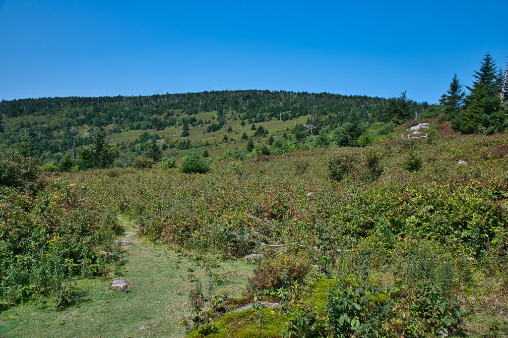
Retrace your steps back on the spur tail and then on the the AT heading north (left). You can either retrace your steps back to your vehicle, or take a detour on the Rhododendron Trail for a nice change of pace and scenery. Look for a junction the AT and the Crest Trail. Turn right on the Crest Trail which will soon connect with the blue-blazed Rhododendron Trail. Follow the Rhodo Trail over several rock scrambles with fantastic views. We saw several free-range cattle on this section of the trail. The Rhodo Trail merges with the AT which will return you to the Massie Gap parking area and your vehicle.
Hike Photos:
Click on an image below for an enlarged view.
Beer Pairing:
After a fantastic hike, we had a great dinner at Sarah’s Fox Creek General Store in Troutdale. The food was great, the locals were friendly, and they had a nice beer selection. We really liked Satan’s Pony from South Street Brewing in Charlottesville. Satan’s Pony is a nickname for a motorcycle and Sarah’s has a vintage Indian motorcycle in their front window. Satan’s Pony is a traditional red ale, with a blend of Cara Red and medium crystal malts.
Hike and drink responsibly. Never drink and drive. Stay safe and be responsible.