
- Highlights: Meadow and mountain views, AT shelter
- Distance: 8 miles out and back
- Elevation Change 1,729 feet
- Trail Surface: Dirt with some rocky sections
- Difficulty Level: Moderate/strenuous
- Trailhead Parking: AT trail parking, US route 11, Troutville VA; there is a small gravel lot here with room for 5-6 vehicles
- Website: AllTrails
- Beer Pairings: Twisted Track Brewpub—Sierra Railway IPA & Private Session IPA
Trail Map:
The Hike:
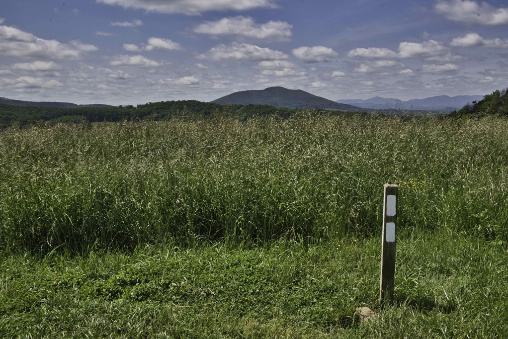
Thru-hikers call the Appalachian Trail “the long green tunnel”. For most of its 2,198 miles, the AT passes through forests beneath heavy tree cover. This hike has a small section of open meadow with some nice mountain views. There are a few partial views during the rest of the hike under “the green tunnel”.
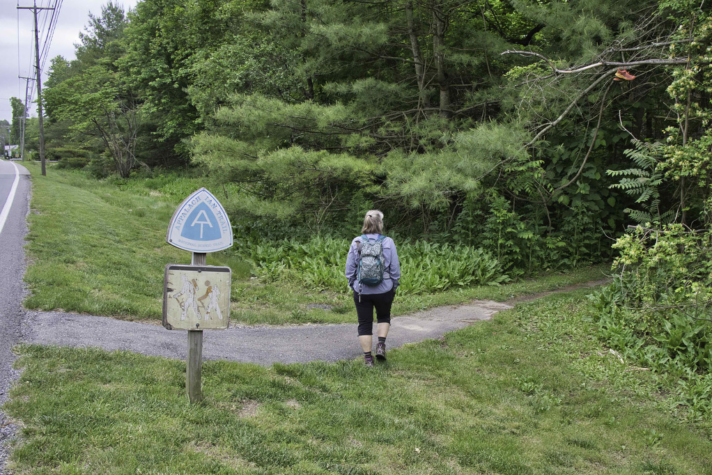
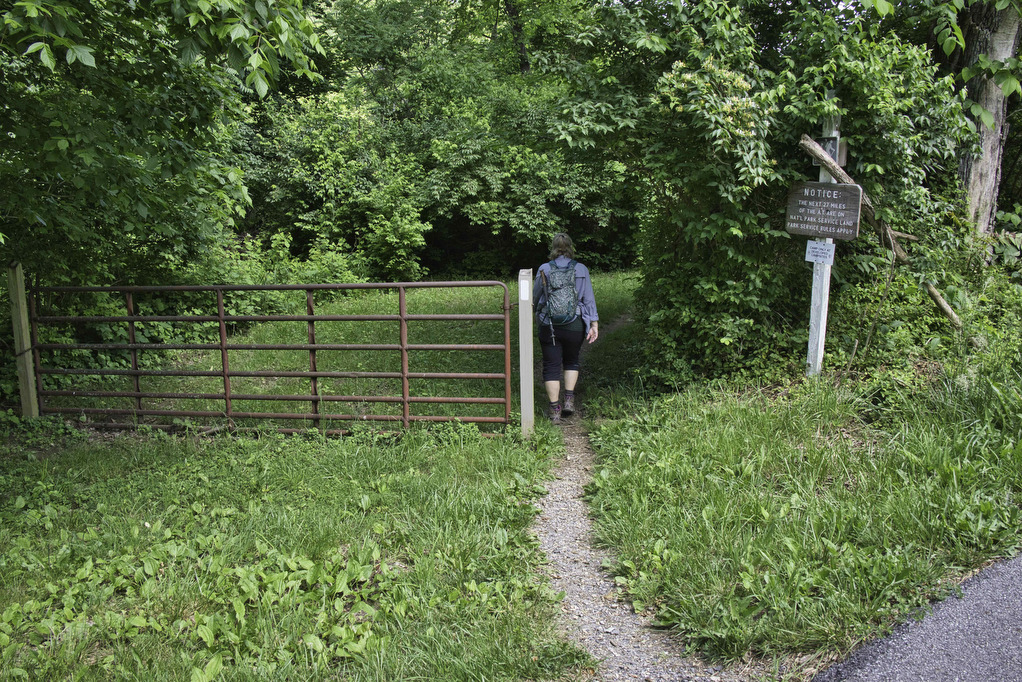
From the US 11 parking area, bear right on the white-blazed AT (don’t cross the highway). The AT crosses over railroad tracks and begins a steady climb before reaching a cattle gate, aka “fat man squeeze”. The trail begins a steep climb through the meadow which is a great place to see wildflowers, birds, and butterflies.
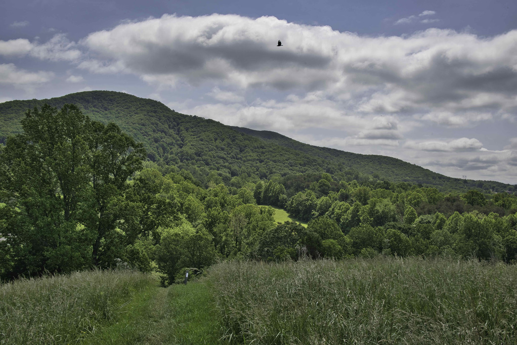
At the top of the meadow, the AT makes a sharp turn to the left. Views of McAfee Knob, Tinker Mountain, and Catawba Mountain open up to the south and west. The AT begins a steep descent through the meadow with Fulhardt Knob towering straight ahead.
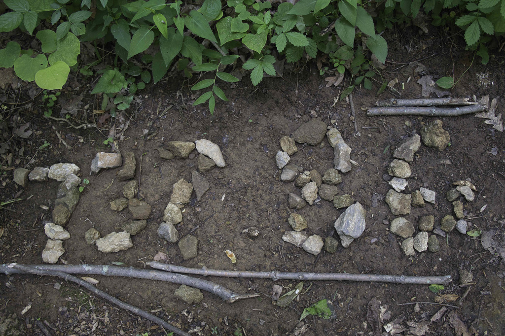
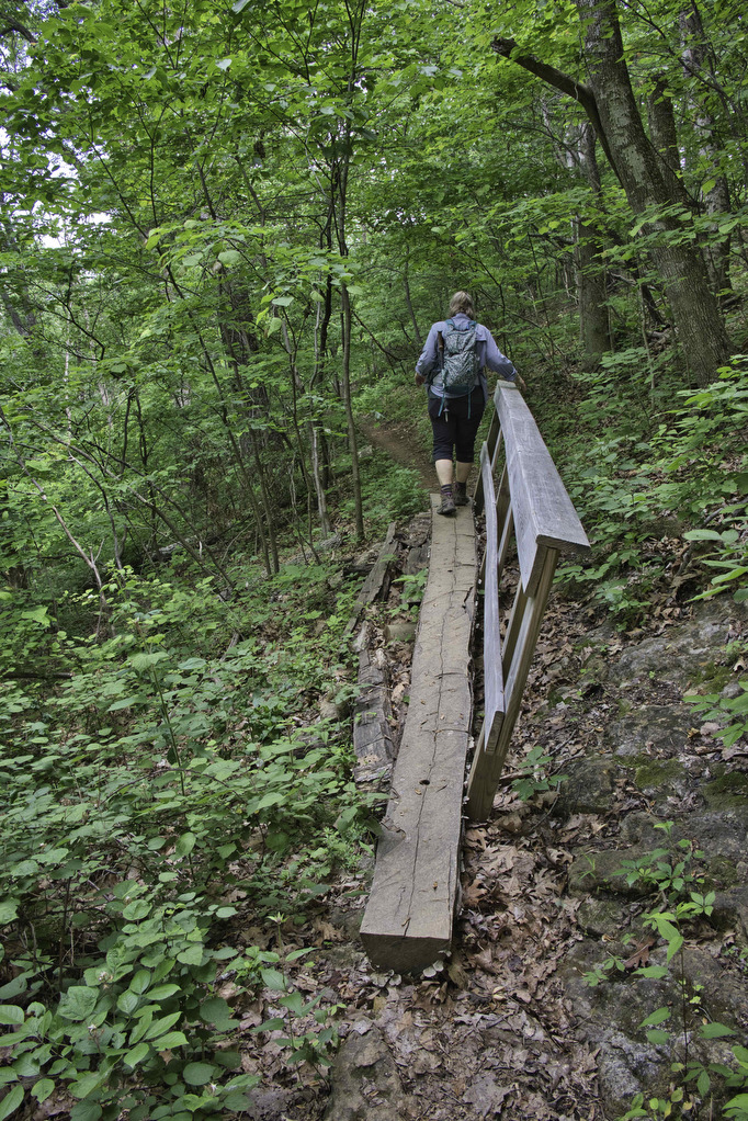
The trail soon enters the forest and crosses Mountain Pass Road. A short section of the trail is through private lands. As the trail enters Jefferson National Forest, on the left are some stones marking the 1/3 waypoint of the northbound AT. This spot is 732.86 miles from Springer Mountain GA. The climb continues as the trail skirts around Fulhardt Knob. Switchbacks and ridge hiking make the ascent gradual.
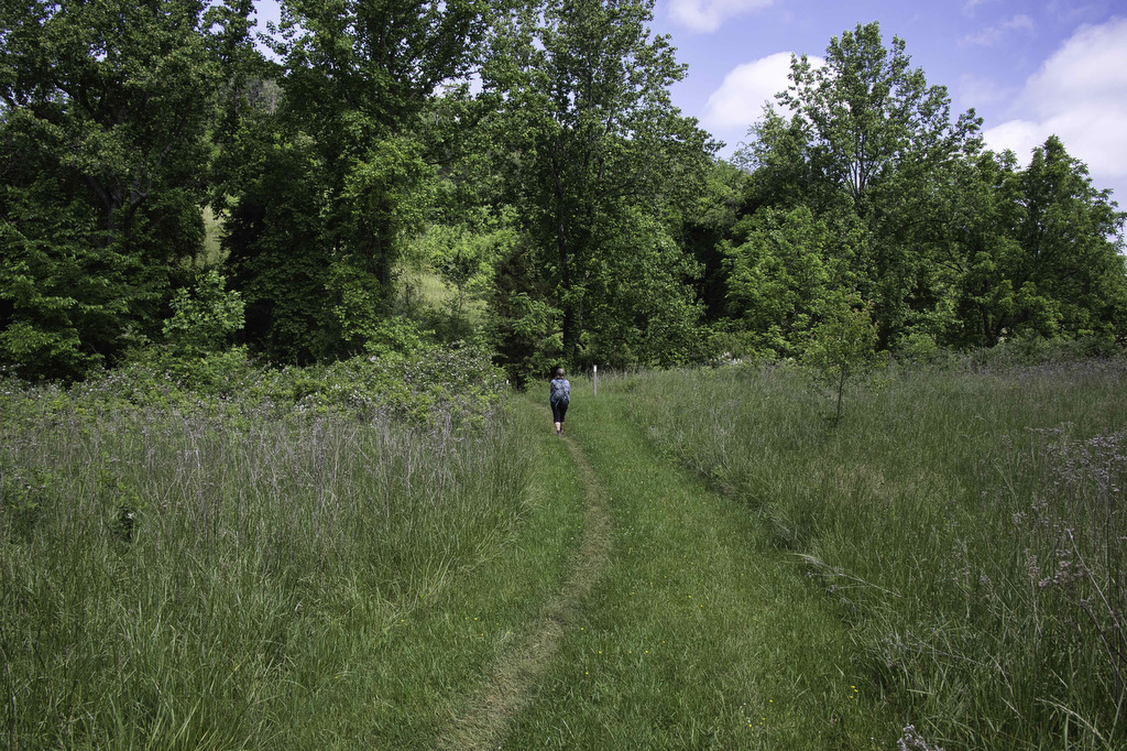
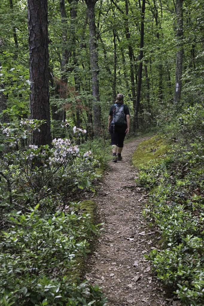
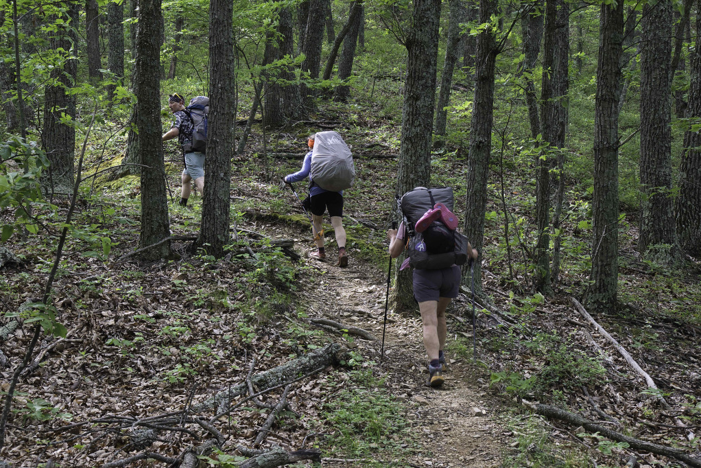
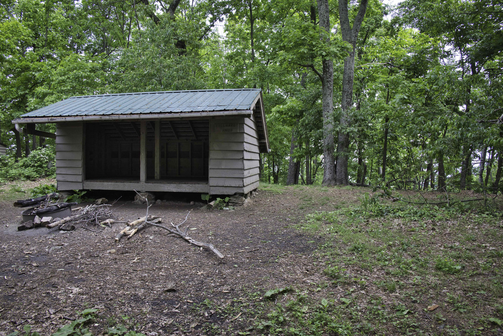
Mountain Laurel line upper sections of the trail and they were in full bloom in mid-May. Reach a junction at 3.7 miles. A short blue-blazed spur trail on the right leads to the AT shelter. The shelter is located on the site of a former fire tower. The trees now obscure the views. We met a few thru-hikers and always enjoy chatting with them about their AT experiences. Retrace your steps turn left on the AT and heading south to return to your vehicle.
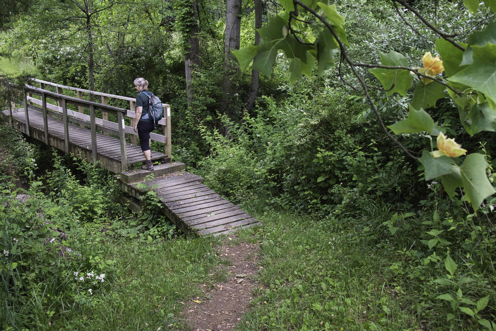
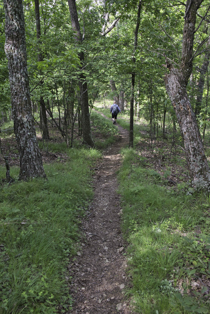
Hike Photos:
Click on an image below for an enlarged view.


Beer Pairing:
Twisted Track Brewpub in Roanoke is located about 20 minutes from the trailhead. They have 15 taps of craft beer as well as cider and wine. Indoor and outdoor seating is available with live music on weekends. They serve upscale pub fare including burgers, wings, pizza, a variety of sandwiches, appetizers, and salads. Leashed dogs are welcome outside.
Pete enjoyed a cold pint of Sierra Railway (6.5% ABV • 74 IBU), a west-coast IPA brewed the way he likes it with a nice copper color, awesome aroma, and a hoppy/bitter finish. Kathy likes hazy IPAs and Private Session (6.1% ABV • 26 IBU) is a juicy, not bitter, NE Style IPA. Brewed with Incognito hop extract, the lower ABV on this beer allows the hops shine.


Hike and drink responsibly. Never drink and drive. Stay safe, be responsible, and leave no trace.