- Highlights: Rock scrambles, amazing views
- Distance: 3.8 mile loop
- Elevation Change 1,775 feet
- Trail Surface: Very rocky
- Difficulty Level: Very strenuous
- Trailhead Parking: Park Headquarters, 169 Poole Road, Jaffrey, NH
- Website: AllTrails and Monadnock State Park
- Beer Pairings: Modestman Brewing—Like Water for Chocolate Brown Ale
The Hike:
Mount Monadnock is famous for a variety of reasons. It’s the second-most climbed mountain in the world (after Mount Fuji in Japan) and it’s listed as a National Natural Landmark by the National Park Service. It’s been a favorite for generations of New Englanders including Ralph Waldo Emerson and Henry David Thoreau. It’s also an amazing hike with panoramic views.
Over 125,000 people climb this 3,165-foot rocky summit each year. In the summer months, parking reservations are necessary as visitors without reservations will be turned away when the park is fully booked. Even in a snowstorm, you will have lots of company on this hike.
This is a very challenging hike. Bring plenty of water and wear shoes or boots with good soles. Gloves may be helpful as your hands will play an important role on the scrambles. Some hikers find climbing up to be easier than the descent.
Plan for the potential of extreme weather at the summit. Pete hiked this trail solo in mid-April. The temperature at the trailhead was a balmy 42°. At the summit, winds were gusting to 50 mph and the temperature was 25° with snow flurries.
White Dot Trail (ascent):
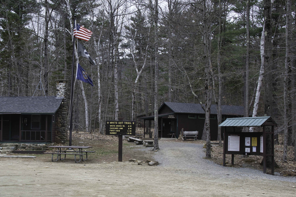
The most popular route is a loop comprised of the White Dot and White Cross trails. From the park headquarters parking area, check in at the park store and get a trail map. The trails are well marked and well maintained.
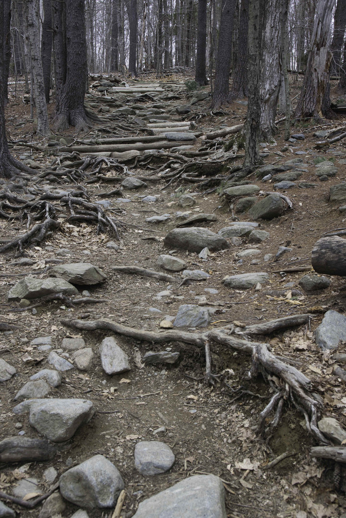
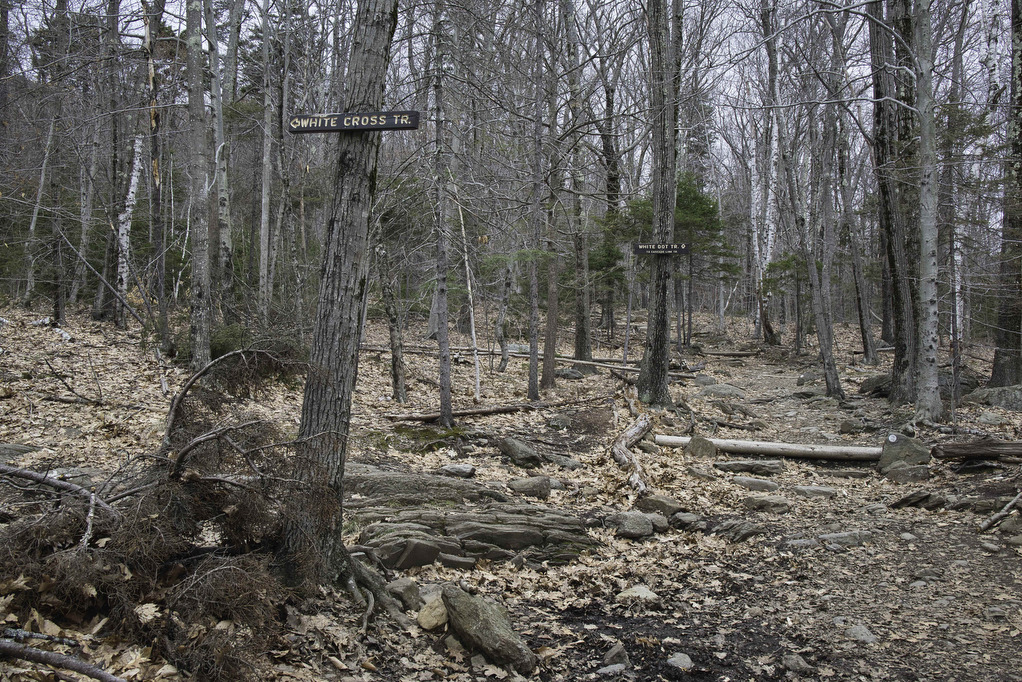
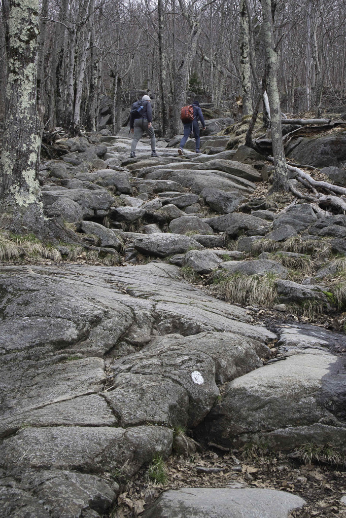
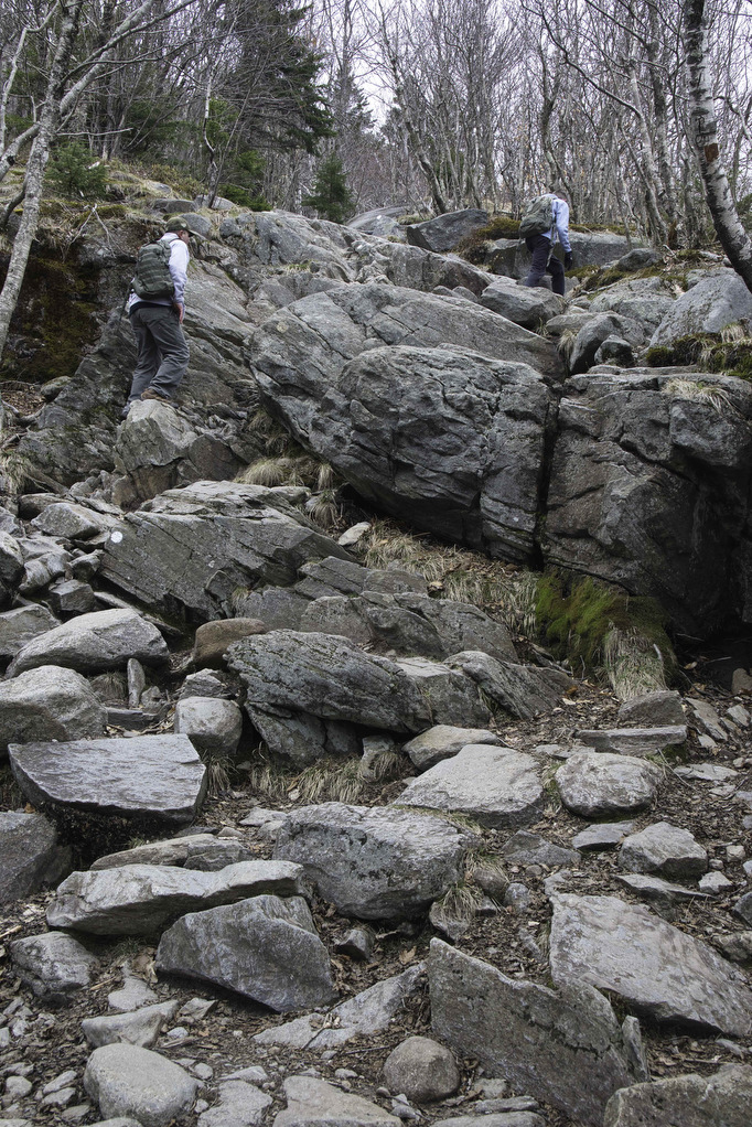
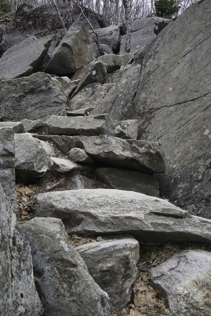
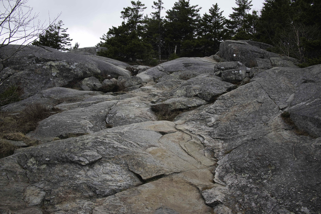
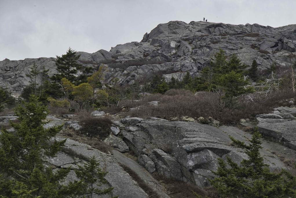
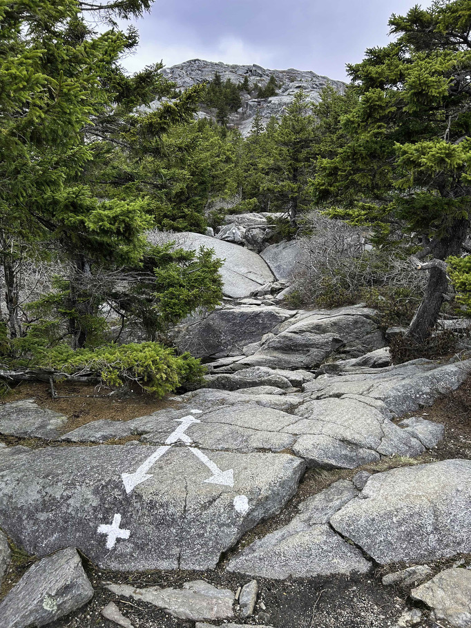
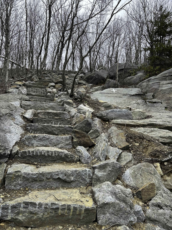
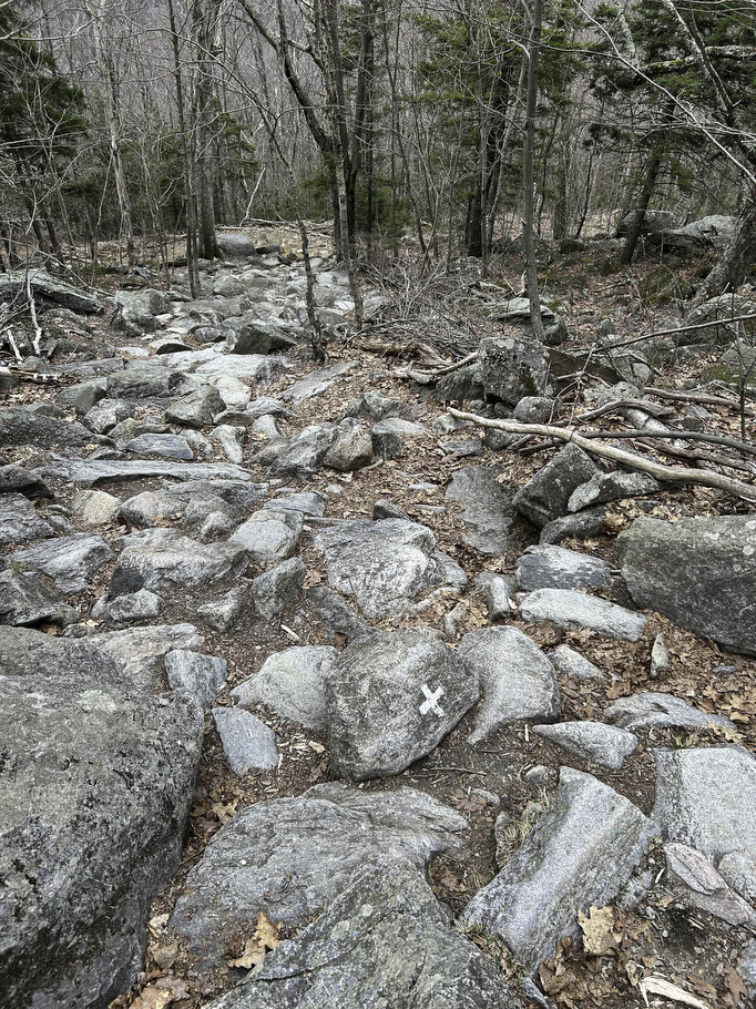
The white-dot trail starts out with a steady climb over moderately rocky terrain. The trail quickly becomes steep and very rocky. At .6 miles, reach a junction with the white cross trail on the left. This will be the return for this hike.
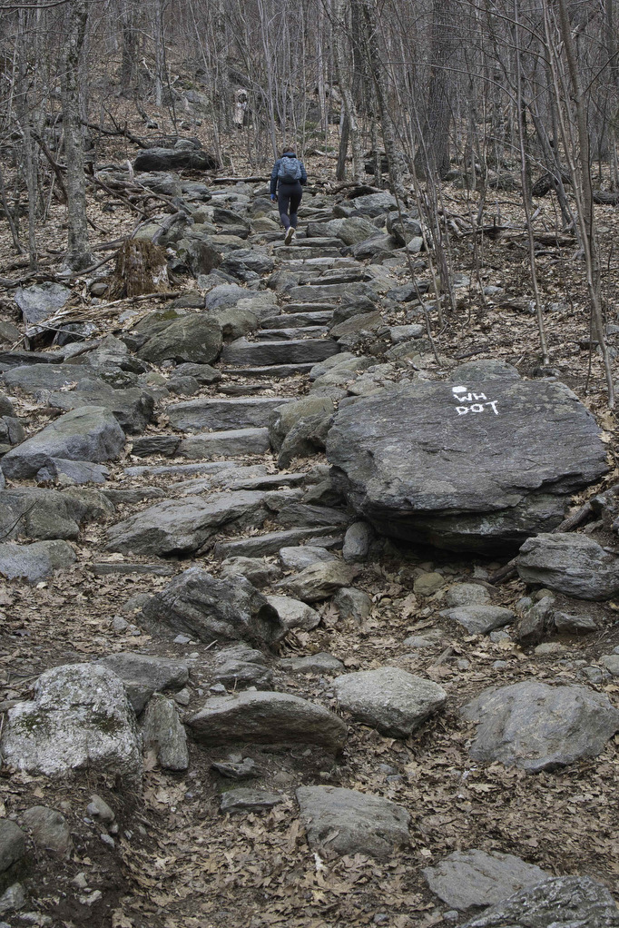
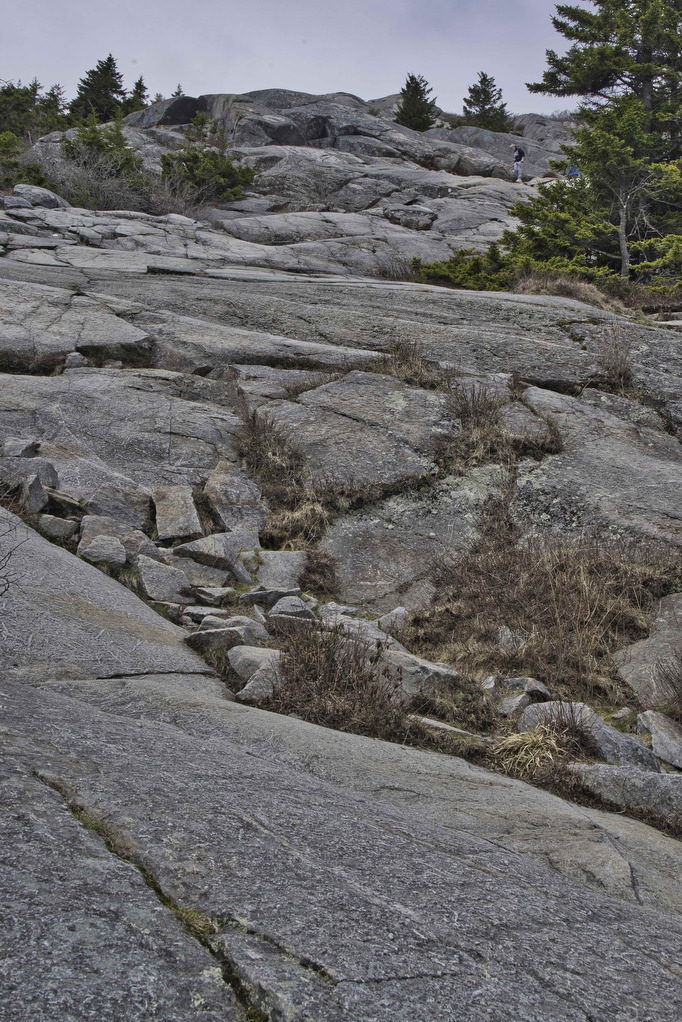
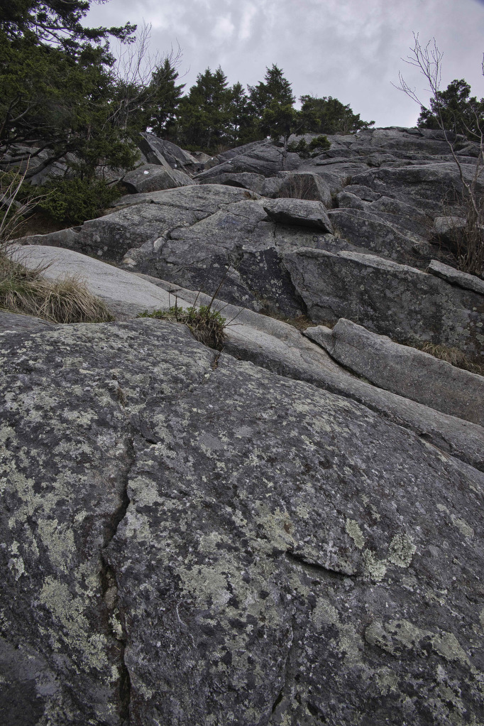
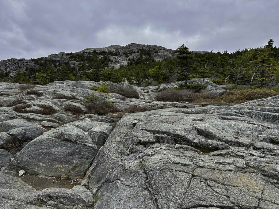
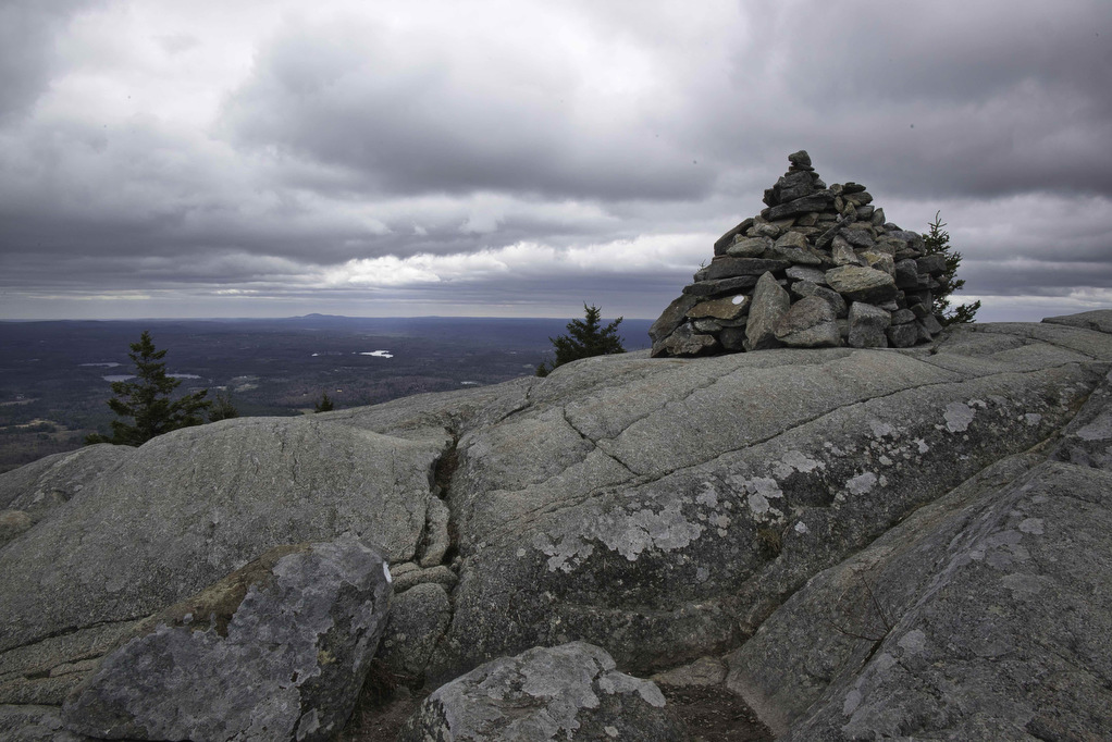
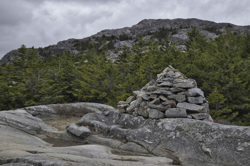
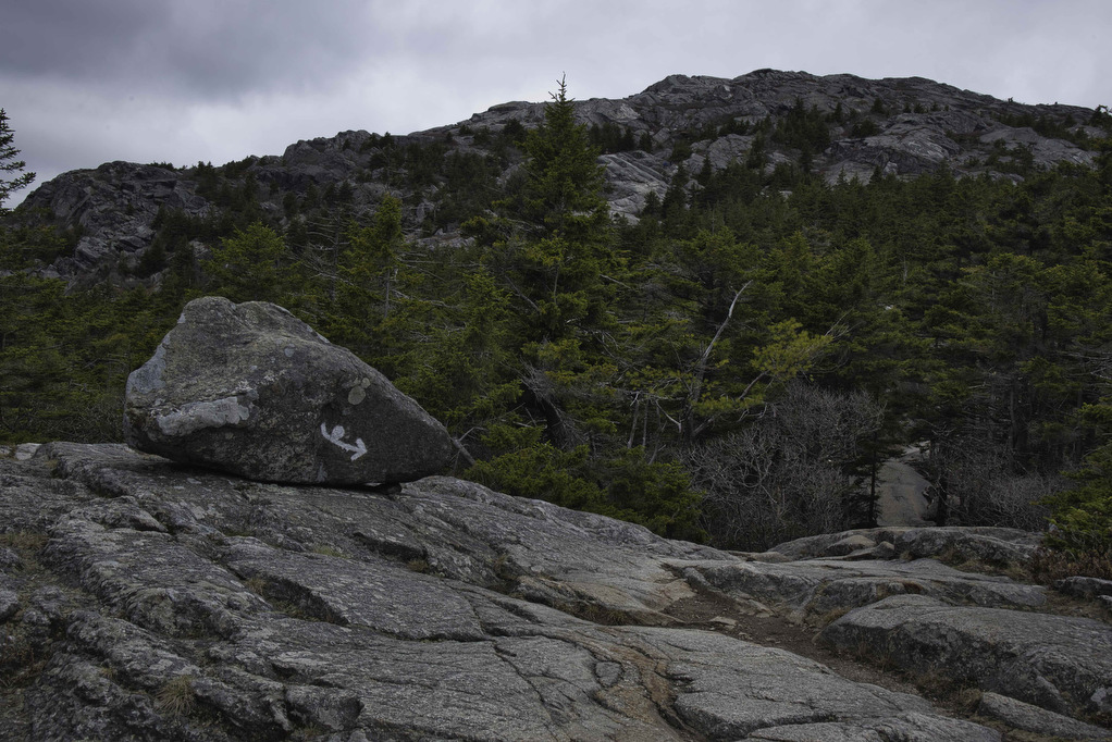
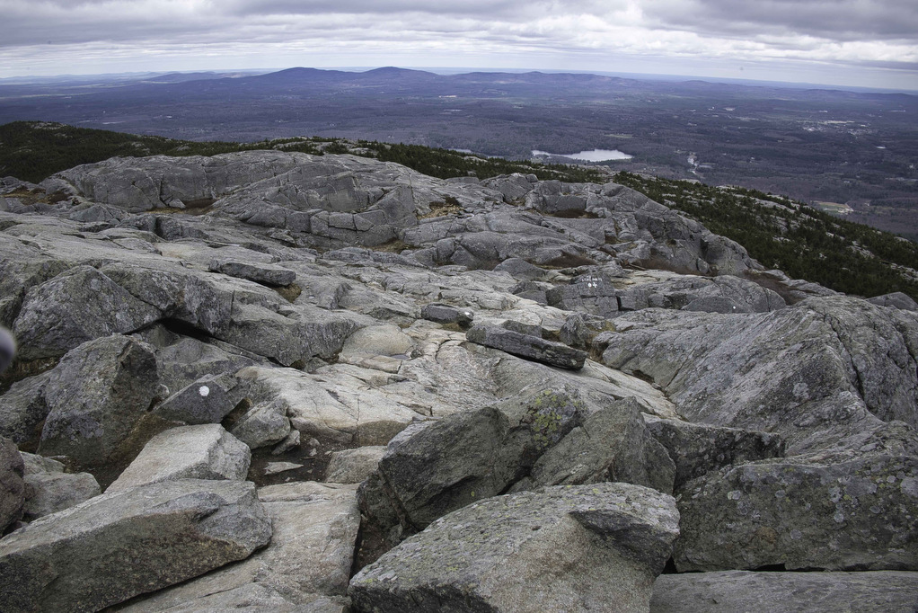
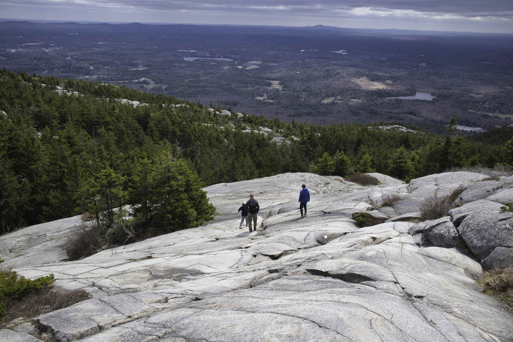
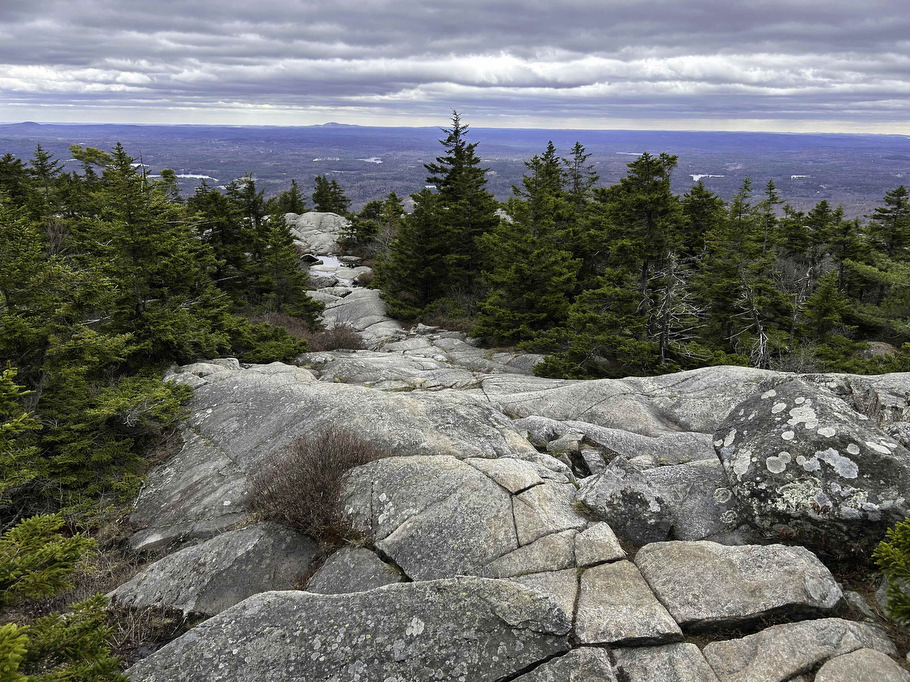
The climb continues over a series of rock scrambles. Follow the frequent white dots and your fellow hikers. The easiest route is normally near the white markings. Above the tree line, rock cairns are used in addition to white dots to mark the trail.
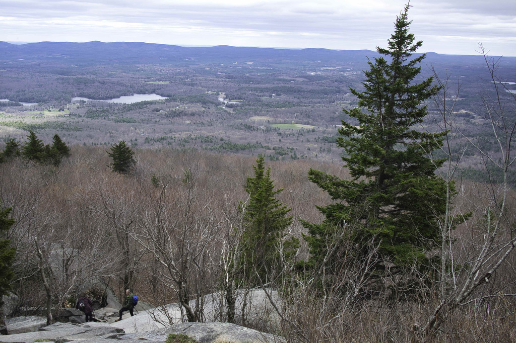
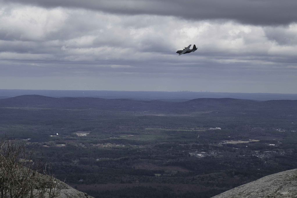
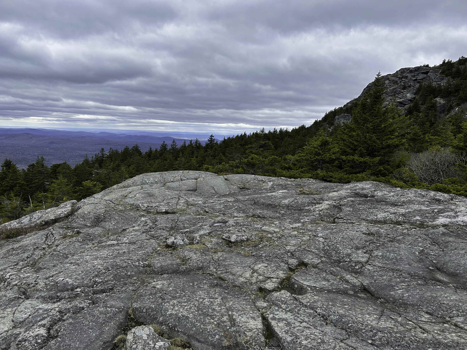
Be sure to look behind you as you hike for some nice views to the east. The White Dot and White Cross trails merge .3 miles before the summit. The views from the top are incredible. On a clear day, the summit is the only place where it’s possible to see all six New England states.
On warm and clear days, this is a very popular place. There are several trails to the summit and they all converge here. On Pete’s mid-week hike on a cold and windy day in April, he shared the peak with one other person. Take in the great views, enjoy a snack, and relish in your accomplishment.
White Cross Trail (descent):
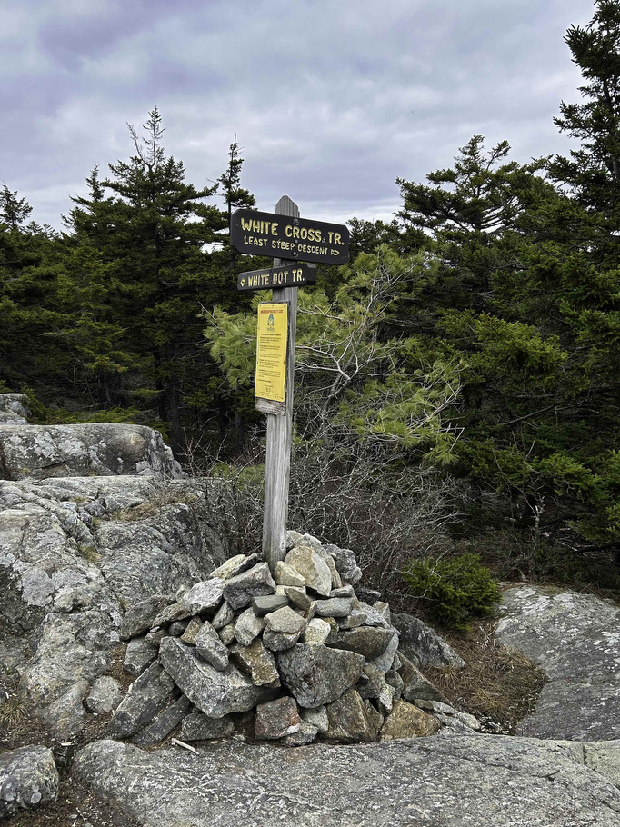
From the summit, follow the White Dot Trail .3 miles to the junction with White Cross. For some hikers, climbing up is the easy part. For those of us with older knees, climbing down Mount Monadnock can be tricky. The White Cross Trail is not as steep and has fewer large rock scrambles.
The White Cross trail is still extremely rocky but it does have some nice southern views not found on White Dot. Bear right at the junction and follow White Cross over and around the rocks.
A short spur trail on the right leads to bald Rock with some nice views to the south and west. White Cross rejoins the White Dot Trail at 3.2 miles. Bear right and follow White Dot back to the parking area and your vehicle.
Hike Photos:
Click on an image below for an enlarged view.


Trail Map:
Beer Pairing:
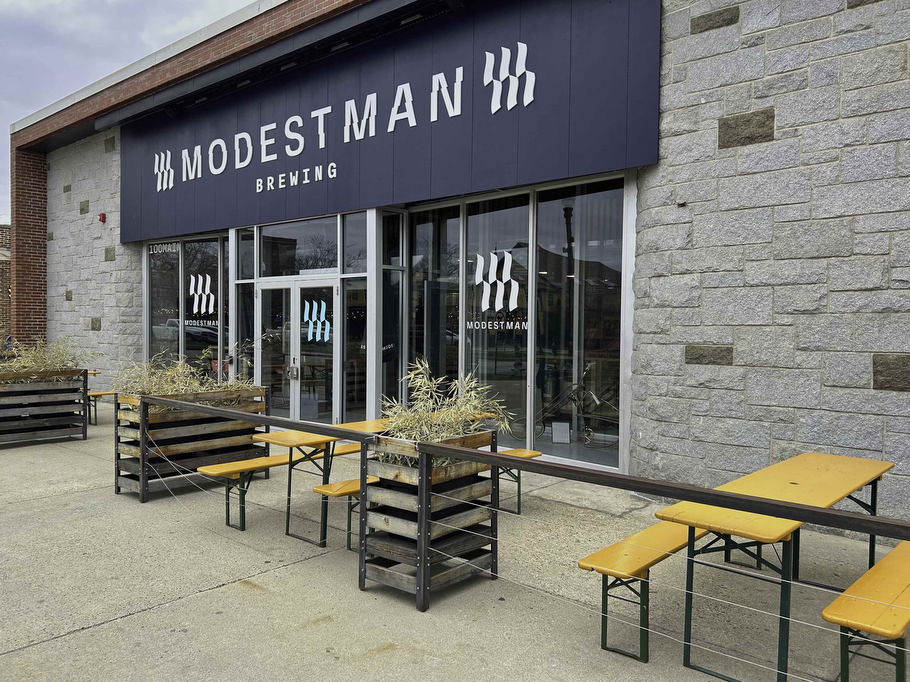
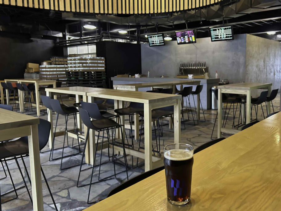
Modestman Brewing is located about 30 minutes from the trailhead in Keene NH. This craft brewery has 12 beers on tap with indoor and outdoor seating. Food trucks visit most weekends.
Pete enjoyed a pint of Like Water for Chocolate (5.5% ABV • 0 IBU) an English Brown Ale with a toasted malt character and notes of chocolate. It was the perfect beer to reflect on a great hike.
Hike and drink responsibly. Never drink and drive. Stay safe, be responsible, and leave no trace.

