

- Highlights: Appalachian Trail, 2 great views
- Distance: 5.0 miles out and back
- Elevation Change: 1,840 feet
- Trail Surface: Rocky
- Difficulty Level: Moderate/strenuous (rocky surface, elevation gain)
- Trailhead Parking: AT Trailhead, Cross Avenue, route 793 Pearisburg VA. From Blacksburg take US 460 west to route 100 south, right on Johnston Ave., first right on route 793, AT crossing is in .7 miles. A small parking area (5-6 cars) is on the left about 100 yards after the AT crossing.
- Website: AllTrails
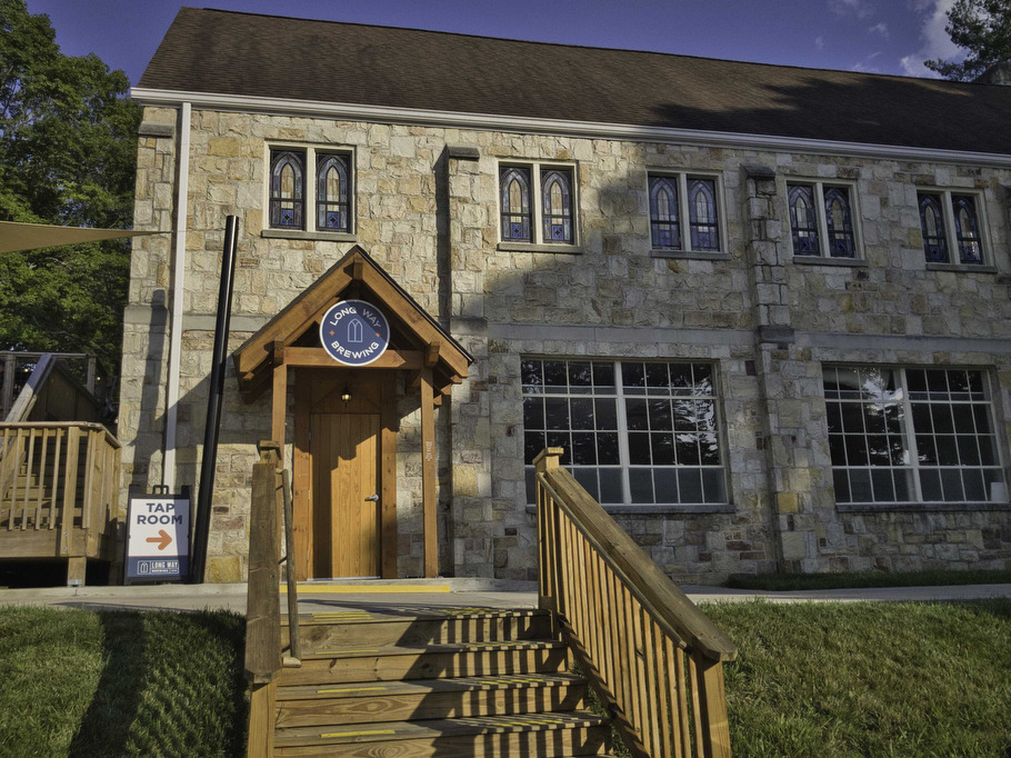
- Beer Pairings: Long Way Brewery—Dog Days porter & Forecast: Downpour IPA
The Hike:
The hardest part of this hike can be finding the trailhead parking area. Search for “Angel’s Rest Trailhead” on Google maps. The parking area on route 793 is about 100 yards after the AT crossing on the left side of the road. Walk back to the AT trail crossing and climb the steps on the right to hike southbound on the white-blazed Appalachian Trail.
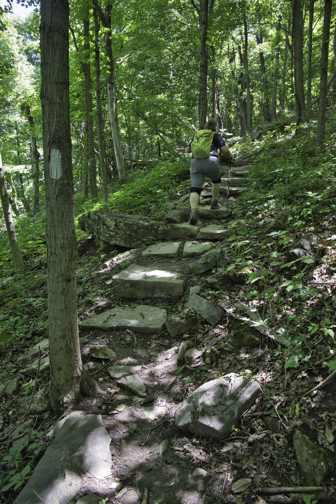
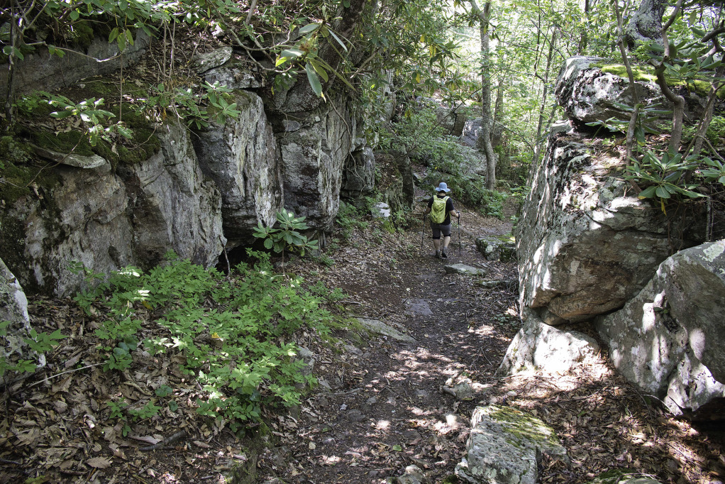
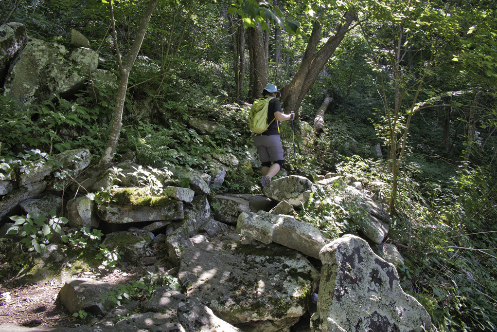
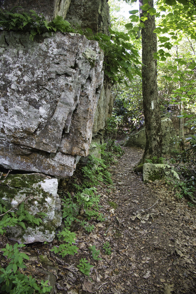
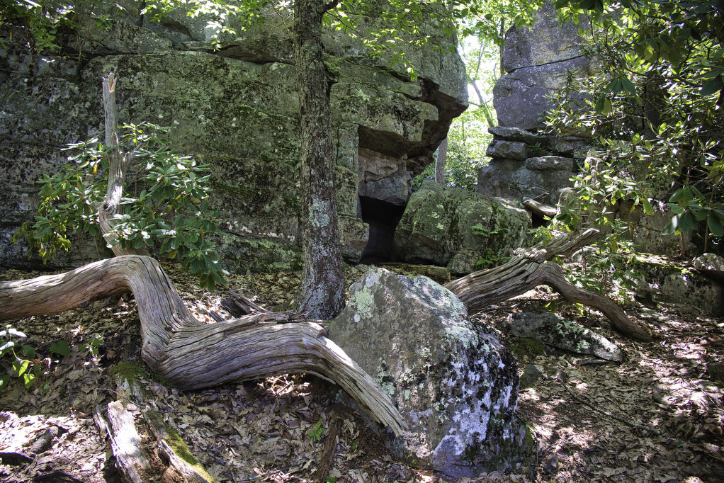
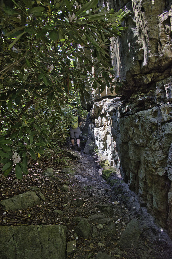
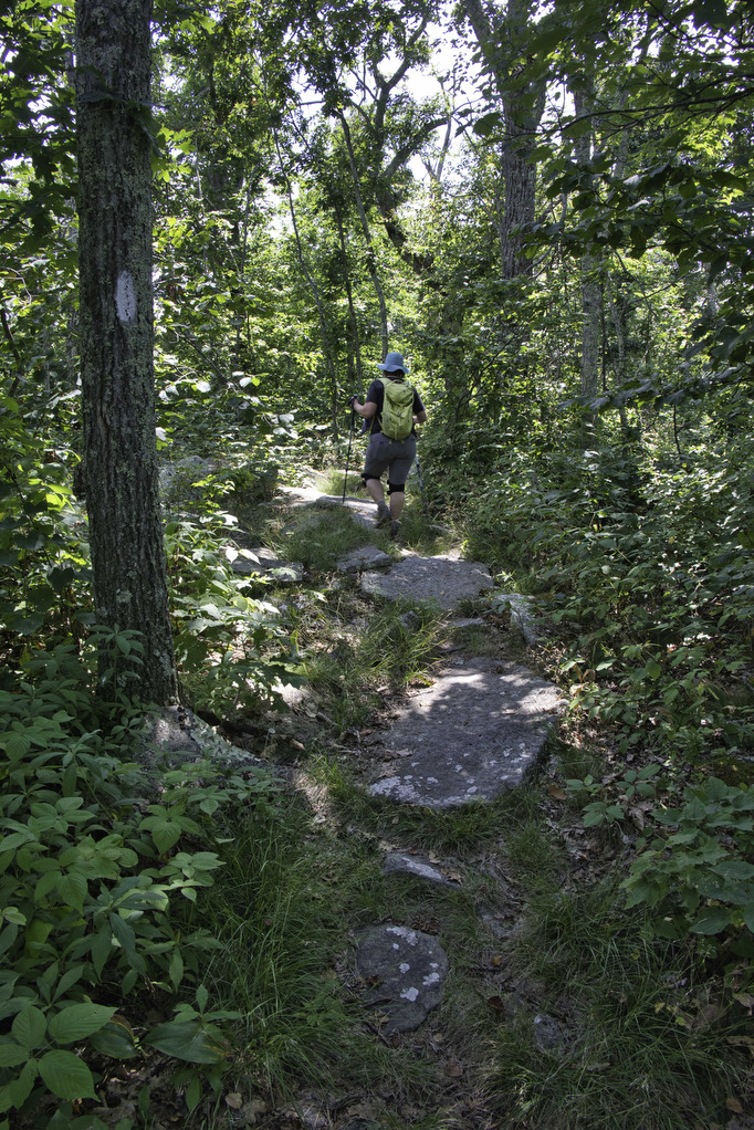
The climb is steady and steep in sections. Steps and switchbacks help with the ascent. Several large boulders dot the trail as you climb through a hardwood forest. At 1.7 miles the AT passes through a large rhododendron thicket. We were surprised to see a few late blooms in mid-July. Normally the rhododendrons are blooming in mid to late June.
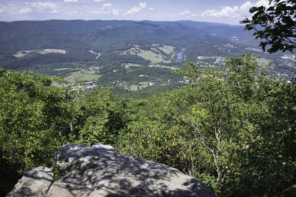
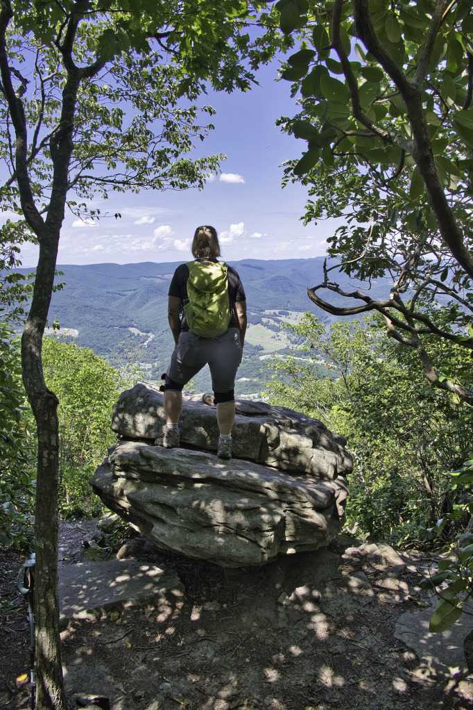
Several giant boulders signal you have arrived at the summit at 1.8 miles. A sign post on the right marks a short spur trail to View Rock. Follow the blue-blazed spur trail for a few hundred yards to the Angel’s Rest overlook. The New River and the town of Pearisburg lie below to the northwest.
Return on the spur trail and bear right on the AT continuing southbound. The trail levels out and the hiking is easy as you traverse the ridge top leading towards Pearis Mountain. On the left at 2.2 miles is a short unmarked spur trail leading to a rocky outcrop with a partial view of the valley below.
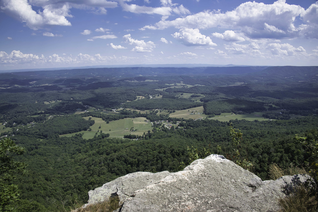
Continue southbound on the AT as the best view is yet to come. At 2.5 miles on the left is the rocky viewpoint of the Wilburn Valley. Farms line the valley floor to the east with the mountains of the Blue Ridge in the distance. This is a great spot for lunch or a snack. AllTrails continues the hike southbound for another half mile. It’s a nice walk if you want additional AT time. Retrace your steps heading northbound (and downhill) on the AT to return to your vehicle.
Hike Photos:
Click on an image below for an enlarged view.
Beer Pairing:
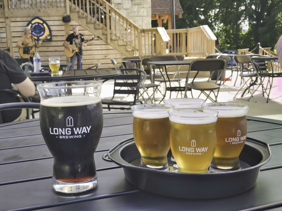
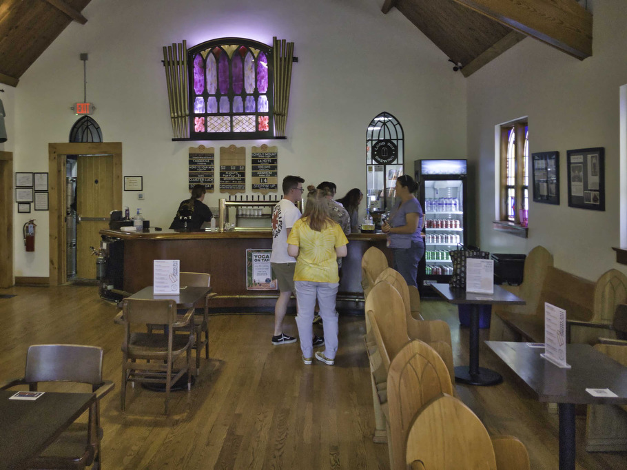
Long Way Brewing is about 30 minutes from the trailhead in Radford. Located in a former church, Long Way brews great beer and a variety of food trucks visit regularly. Live music happens most weekends with indoor and outdoor seating options. Dogs are welcome on the deck and patio.
This was our first visit so Kathy opted for a flight. Her favorite was Forecast: Downpour (7% ABV 74 IBUs) a hazy New England style IPA. It’s described as “a juice bomb of hopliciousness” and Kathy couldn’t agree more. Pete really liked Dog Days porter, an English-style porter brewed with English malts, chocolate malt, and Goldings and Fuggles hops. With a deep brown color and notes of chocolate and caramel it’s one of the best porters this side of the pond.
Hike and drink responsibly. Never drink and drive. Stay safe, be responsible, and leave no trace.