- Highlights: Waterfalls, streams, wildflowers
- Distance: 8.1 mile loop
- Elevation Change 2,080 feet
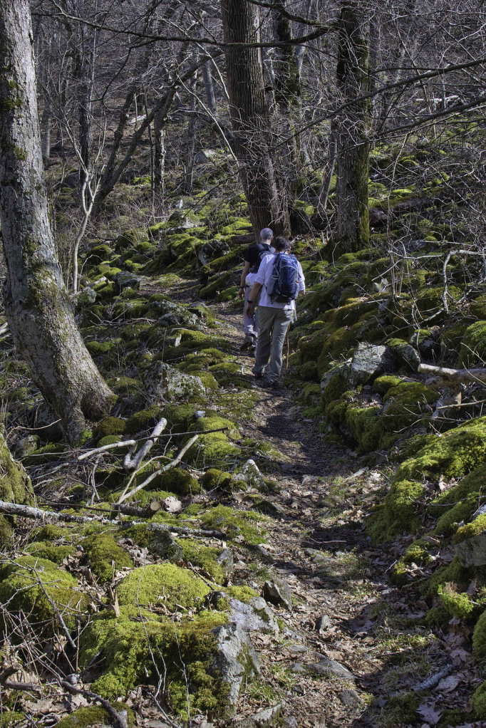
- Trail Surface: dirt, numerous rocky sections
- Difficulty Level: Strenuous (length, elevation, rocky surfaces)
- Trailhead Parking: Sunset Fields parking area, Blue Ridge Parkway, milepost 78
- Website: AllTrails and US Forest Service
- Beer Pairings: Blue Mountain Barrel House: Satan’s Pony & Classic Lager
The Hike:
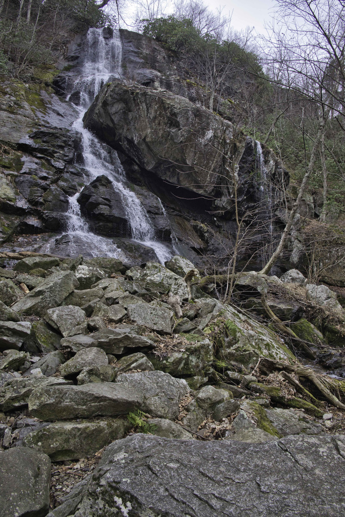
We hiked to Apple Orchard Falls in the dry summer of 2021. The water level in the falls that year was just a trickle—but it was still a great hike. We wanted to go back when the water level was higher to see the 200’ falls in all of its glory.
Kathy is recovering from hand surgery and holding her trekking poles will be problematic for a few more months. However, the weather was perfect for a mid-week hike. Pete’s hiking buddies Marathon Pete and Hiker Mike were looking for any excuse to get out of the office. This hike was calling and off we went.
This loop hike has two trailheads. We chose to start at the upper trailhead on the Blue Ridge Parkway. See the Forest Service link above for directions to the lower trailhead. The trails are well marked and well maintained. We met two volunteer trail maintenance teams on our Wednesday hike in early March.
Apple Orchard Falls
From the parking area, follow a short paved path to the trail kiosk. The blue-blazed Apple Orchard Falls Trail continues downhill and at .3 miles reaches a junction with the Appalachian Trail. The AT will be part of the return for this hike. Continue on the blue-blazed AOF trail as it descends into the valley.
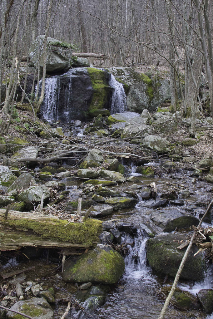
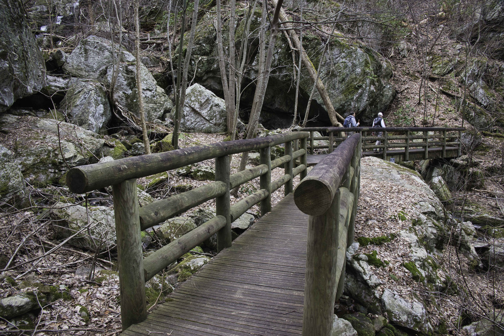
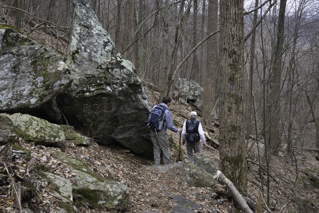
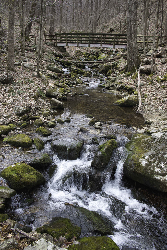
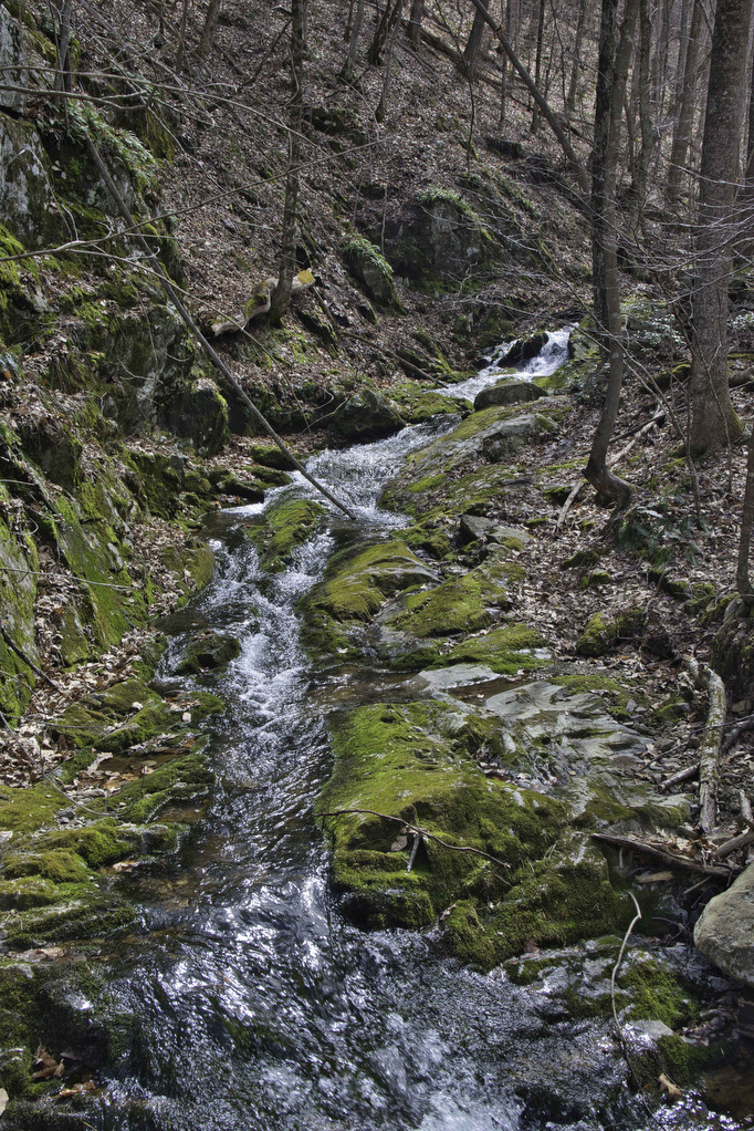
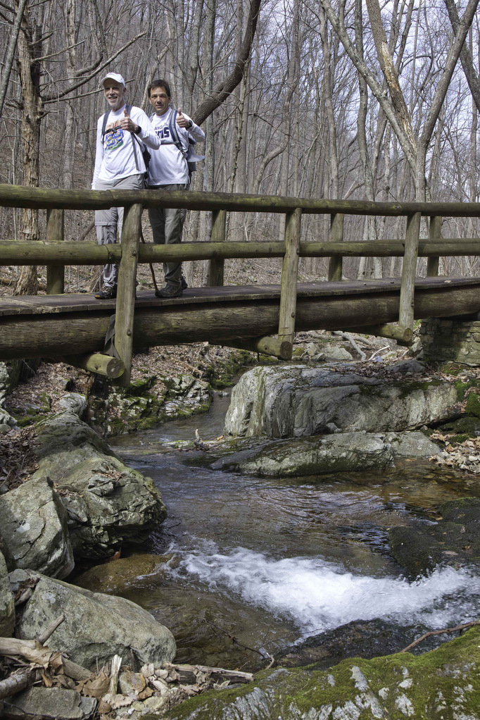
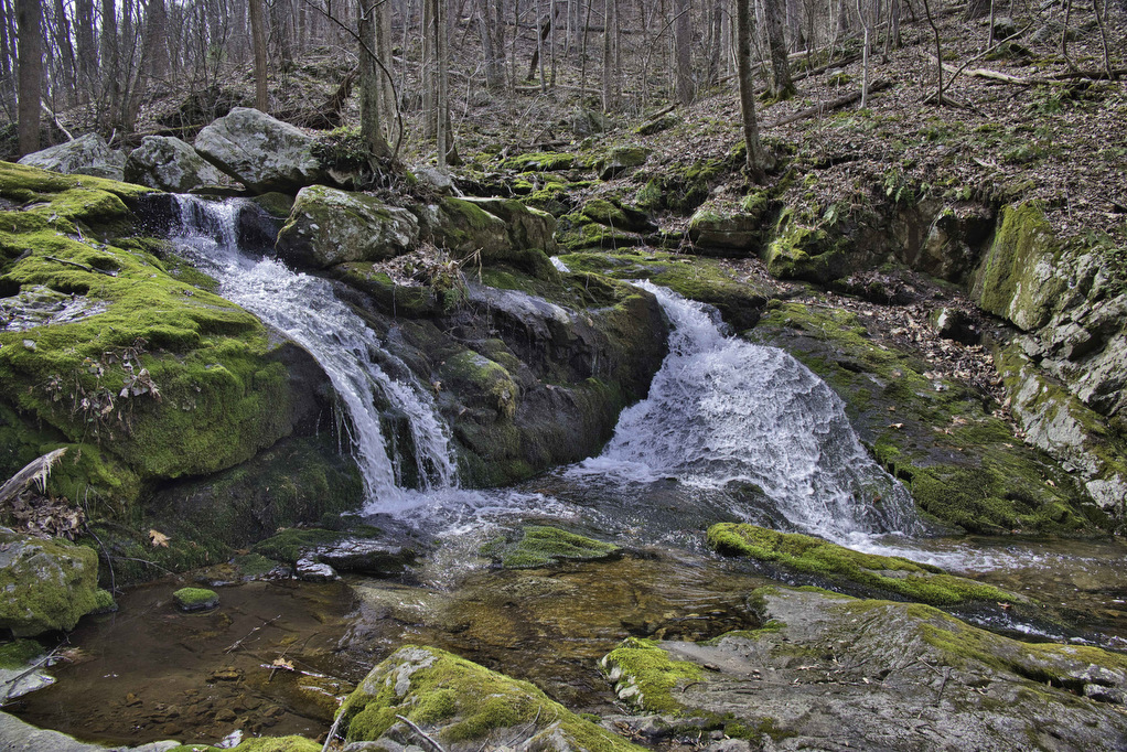
Apple Orchard Creek soon appears on the left and runs beside the trail. Continue straight through a trail junction as the trail passes beneath several large boulders. A footbridge crosses the creek with a small waterfall on the left. A huge rock wall soon appears which is popular with rock climbers.
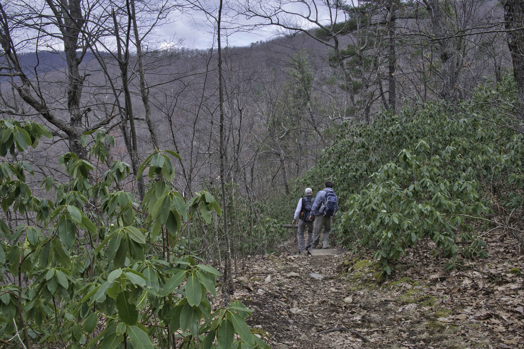
The trail passes through a nice stand of rhododendron and the only view on the hike. The southern Shenandoah valley and surrounding mountains look awesome any time of the year. Several sets of wooden stairs and switchbacks ease the descent down to the falls.
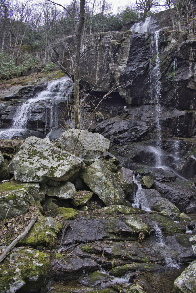
The Forest Service built a nice wooden boardwalk and viewing platform at the base of the falls. The early March water volume was impressive and the falls were near full capacity. Take in the views, enjoy a snack, and then continue on the blue-blazed AOF trail as it meanders beside the creek. The descent becomes more gradual and much less rocky for the next few miles.
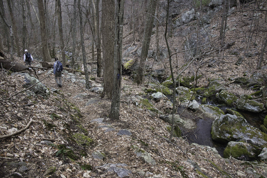
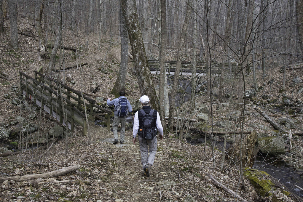
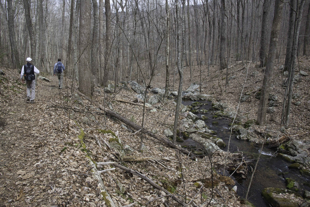
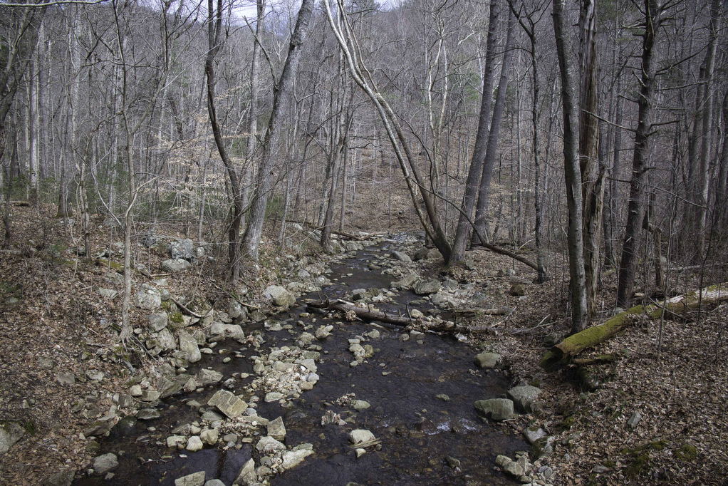
The creek may be partially hidden by leaf cover in the warmer months. We enjoyed seeing and hearing the creek all the way to the lower trailhead. Cross over two wooden footbridges. A third footbridge leads to a different trailhead. Stay straight on the blue trail with the creek on your right. Reach the North Creek Trailhead at 3.7 miles.
Cornelius Creek
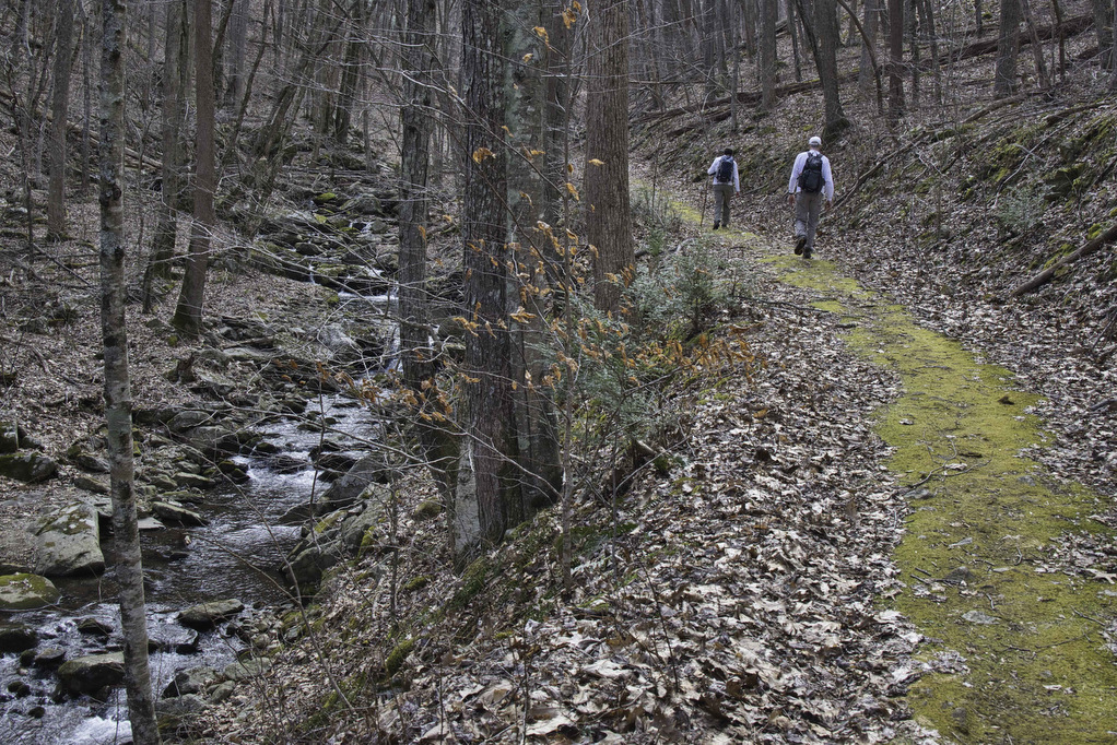
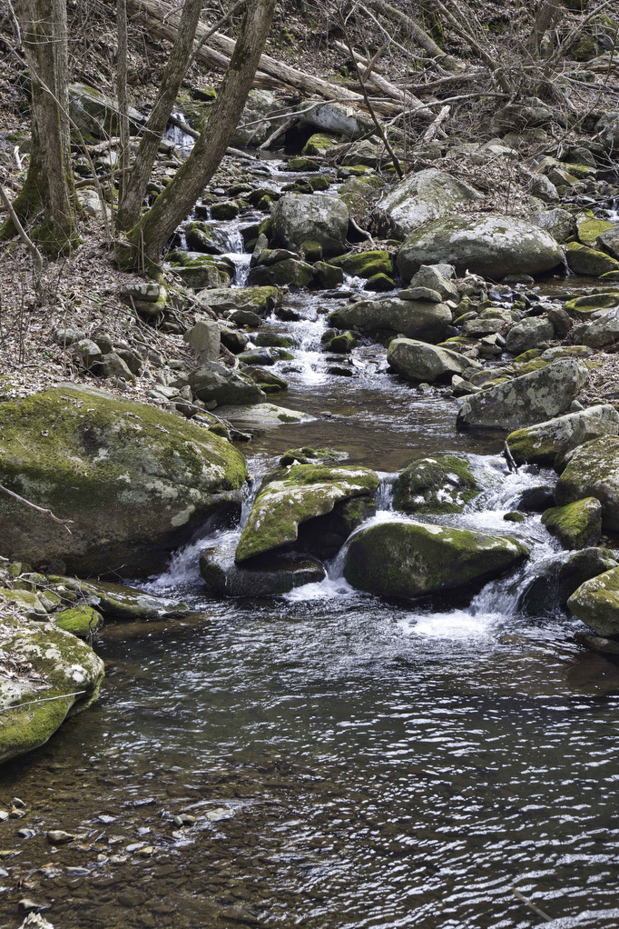
Apple Orchard Creek on the right and Cornelius Creek from the left merge here creating North Creek. Forest Road 59 leads to a small parking area which may be more convenient for hikers arriving from the west. The blue-blazed Cornelius Creek Trail begins just to the right of the lower trailhead kiosk. The ascent begins immediately but is gradual for the next two miles. Cornelius Creek is comprised of numerous small cascades and a potential swimming hole or two.
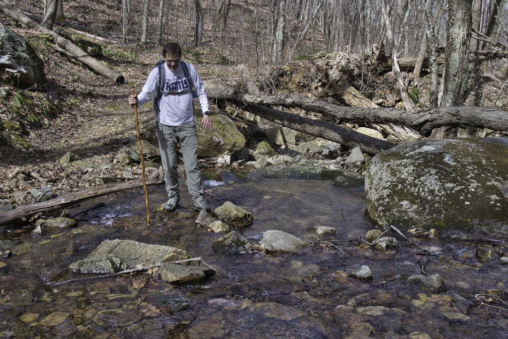
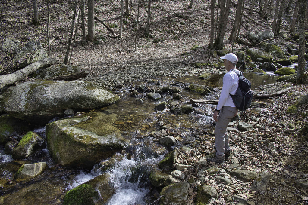
Several footbridges cross the creek and at three points it’s necessary to rock-hop across the creek. Even with the high water level, we were able to cross with mostly dry feet. In warmer months, the creek offers many opportunities for a refreshing rest break. At 6.0 miles, the trail finally moves away from the creek and the real climb begins. The hike up Backbone Ridge is the steepest section of this trail.
The trail joins the white-blazed Appalachian Trail at 6.9 miles. Turn left and follow the AT northbound. This short section of the AT passes through a hardwood forest and gradually ascends about 300’ over the next mile. At the junction with the blue-blazed Apple Orchard Falls Trail, turn right to finish the final climb back to the parking area.
Hike Photos:
Click on an image below for an enlarged view.
Beer Pairing:
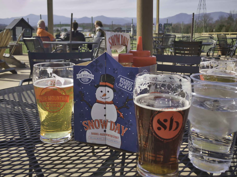
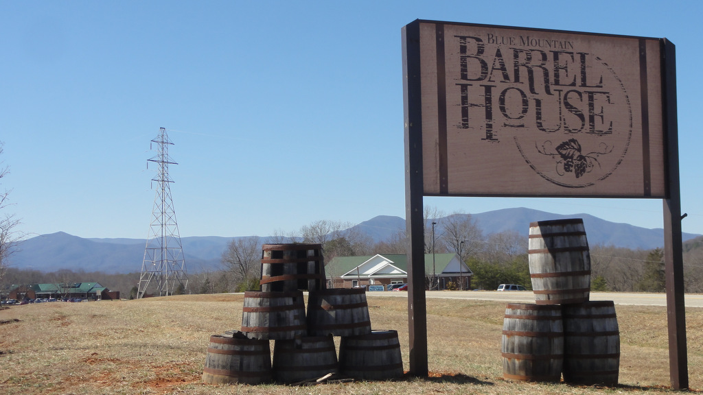
After a glorious day on the trail, it was time for lunch and a cold beer. The Blue Mountain Barrel House & Smokin’ Barrel Restaurant was a winner on both counts. Located about one hour from the trailhead they have 10 taps, indoor and outdoor seating, live music, great food, and some awesome mountain views.
Marathon Pete and Hiker Mike both enjoyed the Classic Lager (5.3% ABV • 22 IBU). It was cold, crisp, and refreshing and paired nicely with the pulled pork BBQ. Hoppy Hiker Pete opted for an old favorite: Satan’s Pony (5.3% ABV • 12 IBU), a malty American Red Ale brewed with a blend of Cara Red and medium crystal malts. It was as good as he remembered and was a perfect compliment to the classic burger. Great hike, great beer, great lunch, and great friends. Life is good.
Hike and drink responsibly. Never drink and drive. Stay safe, be responsible, and leave no trace.

