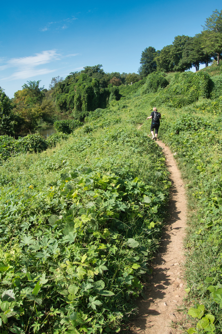
- Highlights: Great river and city views, Belle Isle, Texas Beach
- Distance: 7 miles, loop
- Elevation change: 540 feet
- Difficulty level: Moderate
- Website: James River Park system
- Parking: Pump House Parking Lot, Pump House Drive, Richmond VA 23221
- Beer pairings: Ardent Brewery-X IPA & Ardent Dark Rye Stout
The Hike:
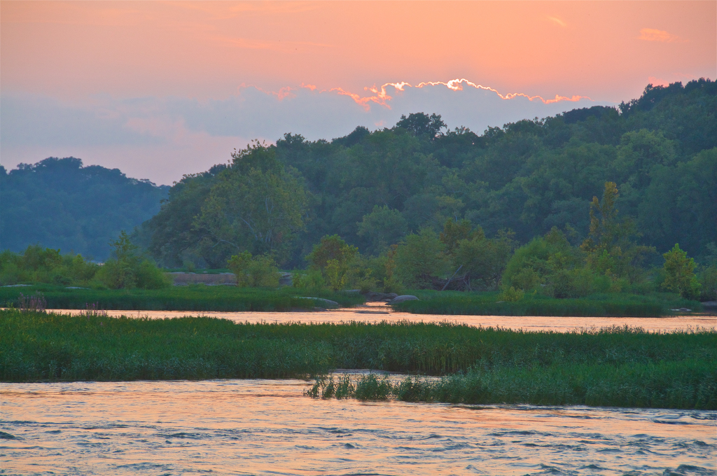
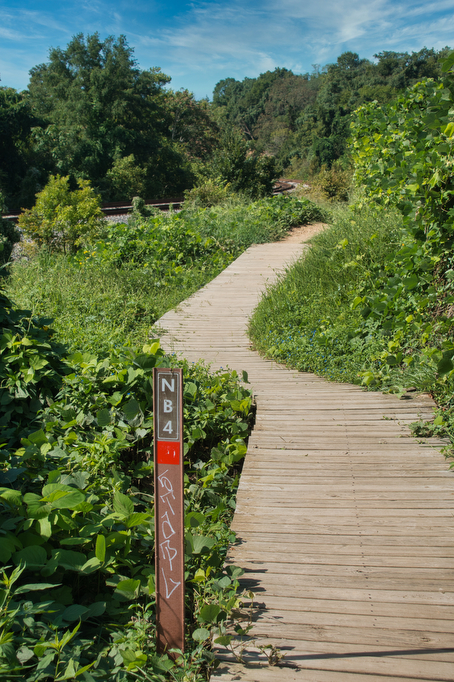
This is one of our favorite hikes. It’s an urban hike with great views of the James River and the Richmond skyline. The James River loop is very popular with hikers, runners, and bikers—especially on weekends. The heavy use of this trail has caused some erosion issues. Therefore the Park System has a 24/1 rain rule: the trail is closed for 24 hours per 1” of rain. In addition, there are many paths that splinter off from the main trail. If you make a wrong turn, simply retrace your steps back to the main trail. The Buttermilk section has white markers with “BT” and a descending number. The Belle Isle section has “BI” markers and the North Bank section has “NB” markers. Trail maps are posted at key intersections along the route.
There are many starting points on this hike; however, we like to begin near the Pump House and Dogwood Dell on the north end of the Nickel Bridge. We like to do this loop in a clockwise orientation. Most of the bike riders seem to go in a counterclockwise direction and we prefer to see them coming rather than have them come up from behind us.
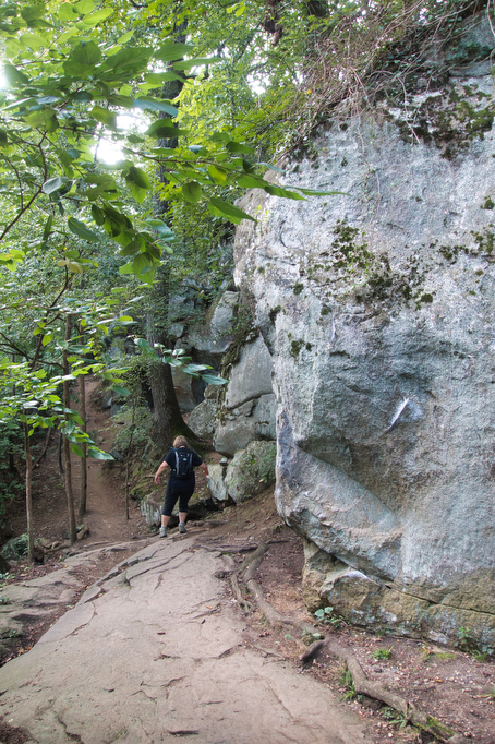
From the parking area on Pump House Drive, head towards Westover Hills Blvd. near the toll booths and take the sidewalk on the bridge across the river. On the right is a nice view of the ACL railroad bridge. After crossing the river, leave the sidewalk and take a right to join the Buttermilk Trail and cross under the bridge. The Buttermilk trail is about 2.5 miles long and leads to Brown’s Island. This trail winds through some dense woodlands, cool rock formations, and river views.
Aside from occasional vehicle noise on Riverside drive from above or a CSX coal train from below, you might forget this is an urban hike. The trail crosses through the Reedy Creek parking area near Forest Hill Park which is a popular access point to the river. Continue through the parking lot and over a small bridge. On the right will be the site of the Buttermilk Spring. Read the sign from the Sierra Club to learn how the spring gave its name to this trail.
Continue on the trail to the 22nd Street parking lot and soon after you will reach a trail junction. The Buttermilk trail will continue straight ahead. However, we want to turn left and take a pedestrian bridge across the railroad tracks and down the stairs on the connector trail towards Belle Isle.
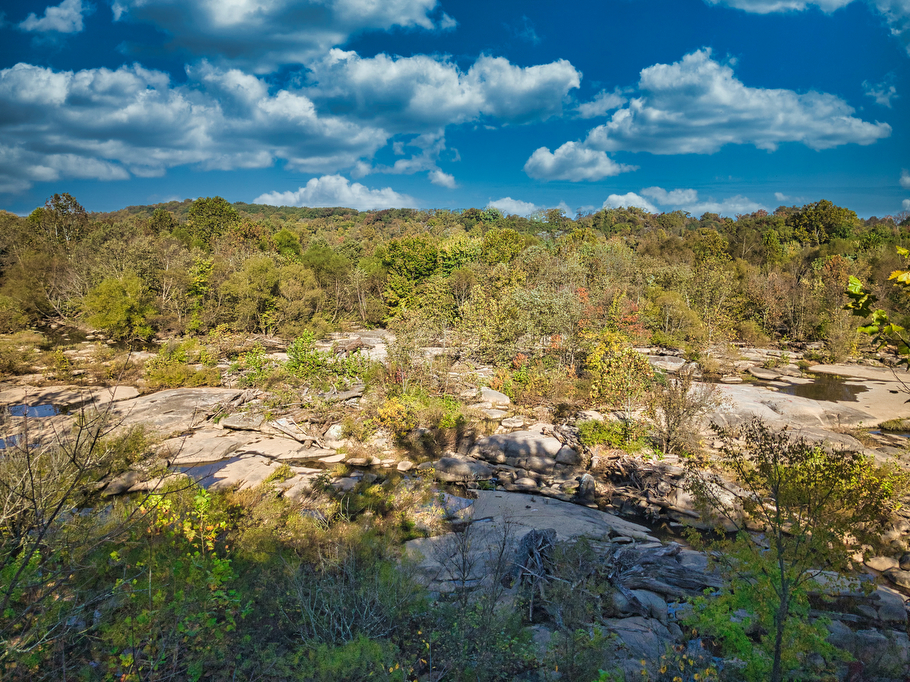
At the foot of the stairs, the trail splits. When the river is high after heavy rains, the upper section near the fence and the railroad tracks might be the best option. If the water level is low, follow the lower section of the trail with great views of the Dry Rocks section of the James on the left. The trail is paved for a short section and a large stone block will be in the center of the trail. A few hundred yards after the large stone, take a right to continue to Belle Isle. This junction is not well marked and the Dry Rocks section of the trail continues past this turn off. The Dry Rocks section eventually ends at the river, so if you miss the turn, retrace your steps back to the stairs and take the upper section along the fence line.
The connector trail follows a pedestrian bridge with great views of the rocky section of the James and leads to Belle Isle. There are many trails on Belle Isle and only two ways to get on and off the island: the bridge you just crossed over and the more widely used Belle Isle suspension bridge under Route 301.
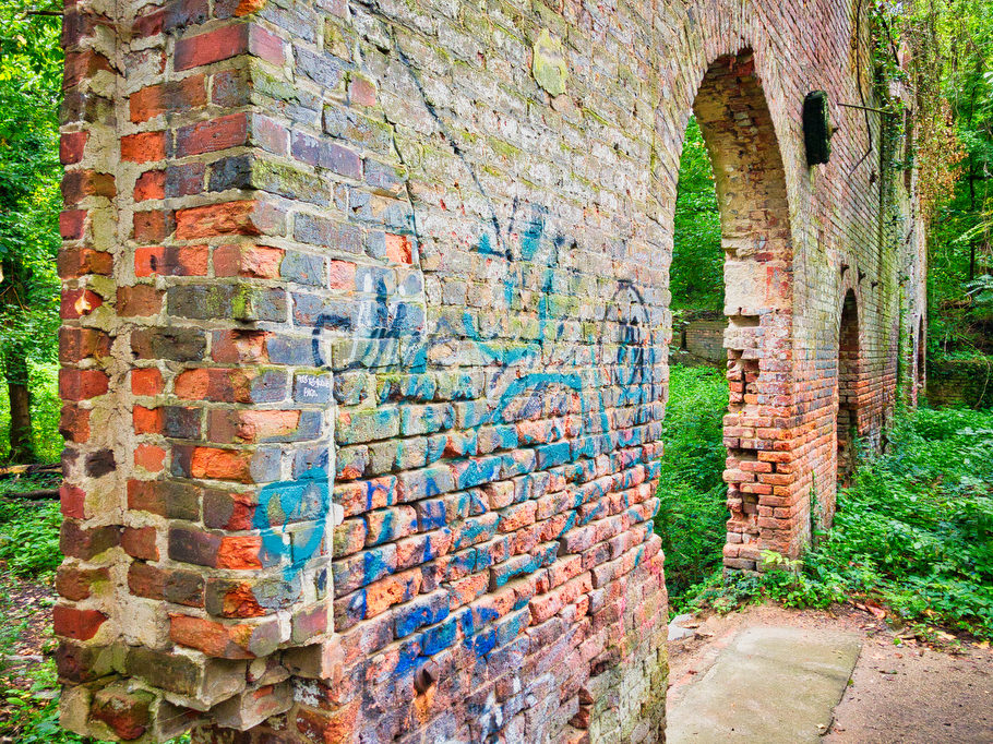
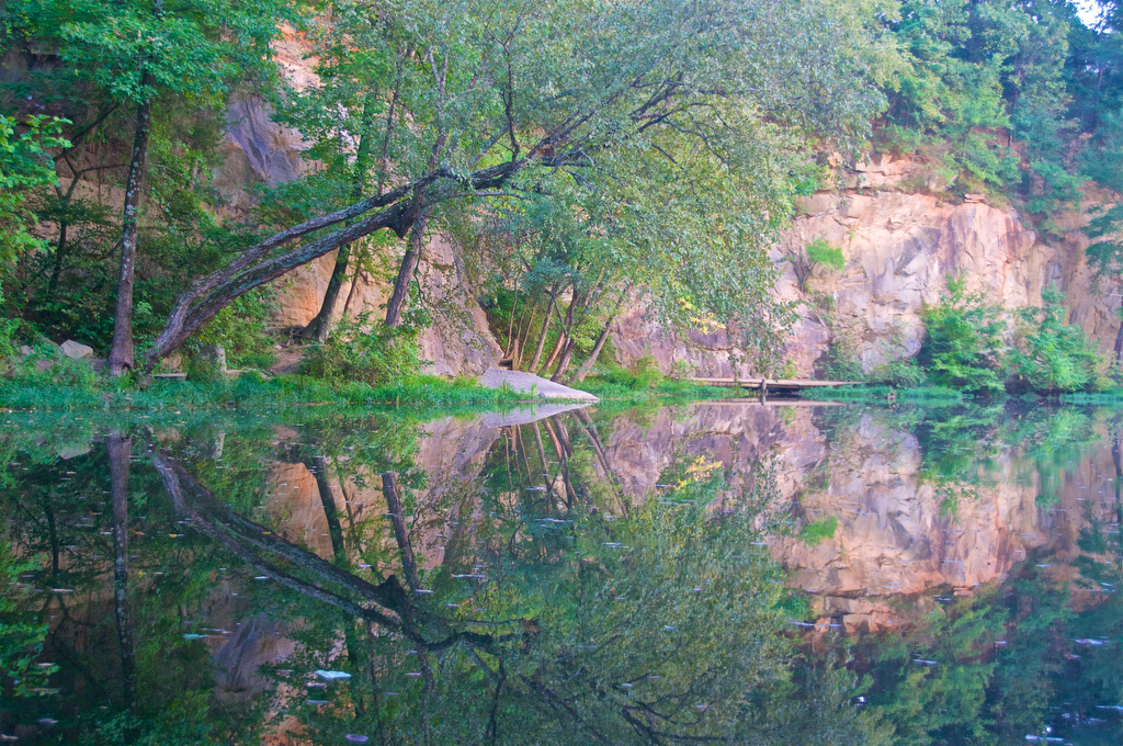
Belle Isle has several options. We like to take a loop through Belle Isle off to the left which provides great river views as it passes by the old hydroelectric plant and quarry pond. You can also climb to the top of Belle Isle (look for a trail heading steeply off to the right just past the brick ruins) and take a loop around the island with great views of the river and the quarry pond. If you want a shorter hike, continue on the connector trail and stay near the highway to reach the suspension bridge.
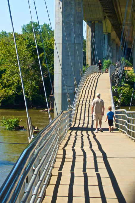
Take the suspension bridge from Belle Isle across the James near the entrance to Dominion facility and turn left on Tredegar Street. On a busy weekend, just follow the crowds. You will reach a parking lot on your left and follow the trail up a small hill, crossing under the highway one more time. This is the beginning of the North Bank Trail, a 2 ½ mile riverfront journey which will bring you back to the Boulevard (Nickel) Bridge. Pass under the Oregon Hill overlook on your tight with the river on your left.
The North Bank Trail passes near three cemeteries: Hollywood, Riverview, and Mount Cavalry on the right and train tracks on your left. Just past marker NB 11 will be a junction for a bridge to Texas Beach and the parking lot off Texas Avenue. If you want to get a closer view of the river, head up the stairs and take the bridge to explore Texas Beach and retrace your steps to the North Bank Trail.
This section of the trail was completed in 2019. Prior to that, hikers had to detour through the neighborhood on Kansas Avenue rejoining the trail near Maymont. Continue under the bridge and down a steep stairway and soon Maymont will be on your right. The trail continues under Westover Hills Boulevard and returns to the parking lot and your vehicle.
Beer Pairing:
Richmond is a great beer city and there are many options for a post-hike beverage. We like Ardent in Scott’s Addition 3200 West Leigh Street. Ardent makes great IPAs including their original IPA and New England style IPA X. They also have a nice pilsner and in colder months, the Dark Rye Stout is not to be missed. They also serve food, although ZZQ Texas style barbecue is right around the corner on Highpoint Avenue and they have some excellent local beers on tap, including one of our favorites: Triple Crossing’s Falcon Smash IPA.
Hike and drink responsibly. Never drink and drive. Stay safe and be responsible.


