

- Highlights: Views, Appalachian Trail, covered bridge
- Distance: 4.2 miles out and back
- Elevation Change 978 feet
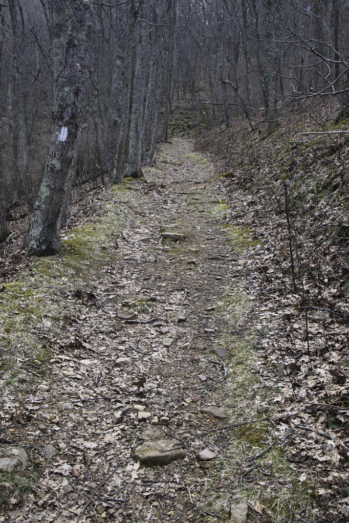
- Trail Surface: Dirt with numerous rocky sections
- Difficulty Level: Moderate
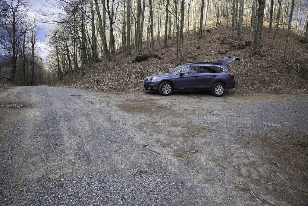
- Trailhead Parking: Laurel Springs Road/Rocky Gap Road, route 601, Newport VA; small parking area for 3-4 cars. The road becomes a dirt road for the final 1.5 miles. In muddy or snowy conditions, AWD is recommended.
- Website: AllTrails
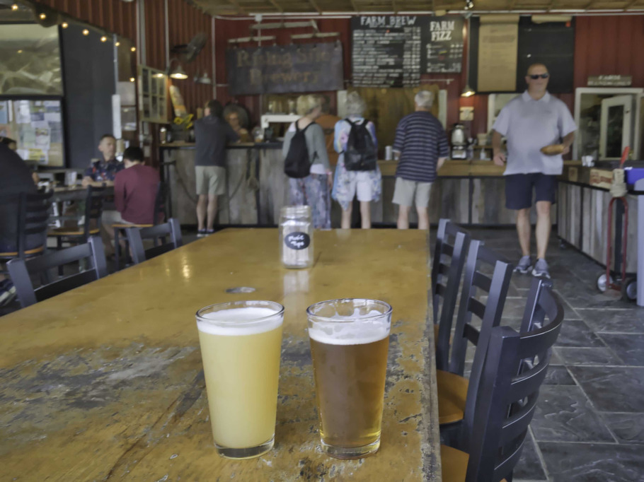
- Beer Pairings: Rising Silo Farm Brewery—Treerider IPA & Goat’s Eye Rye
The Hike:
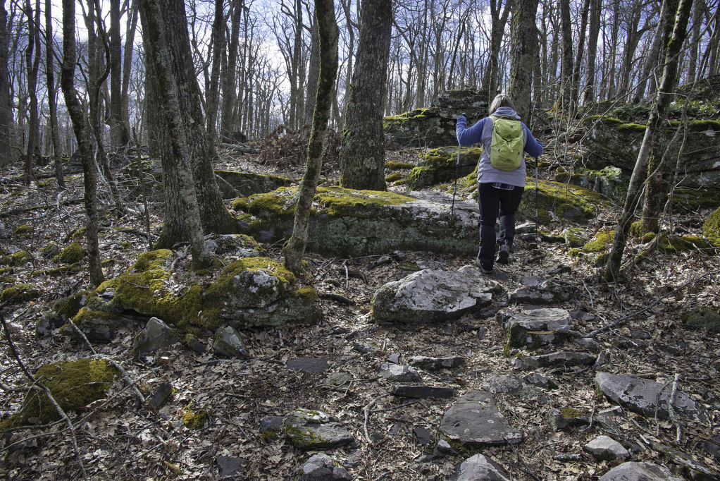
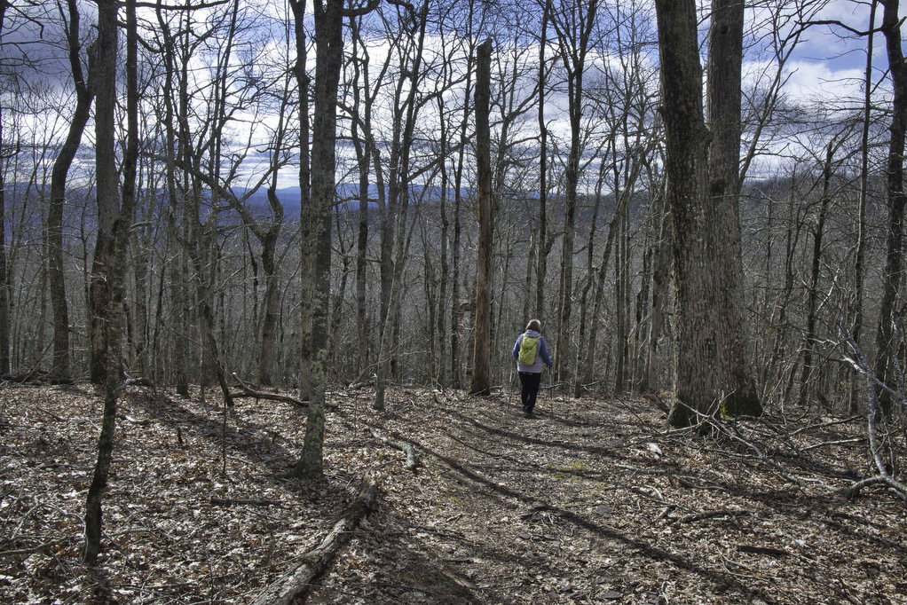
Kelly Knob has long been a favorite hike of locals and AT through hikers. The trees have grown a bit since “The Knob” first earned accolades and now block some of the views. Even with partial views, this is still a great hike. Like all sections of the AT, the trail is well marked and well maintained.
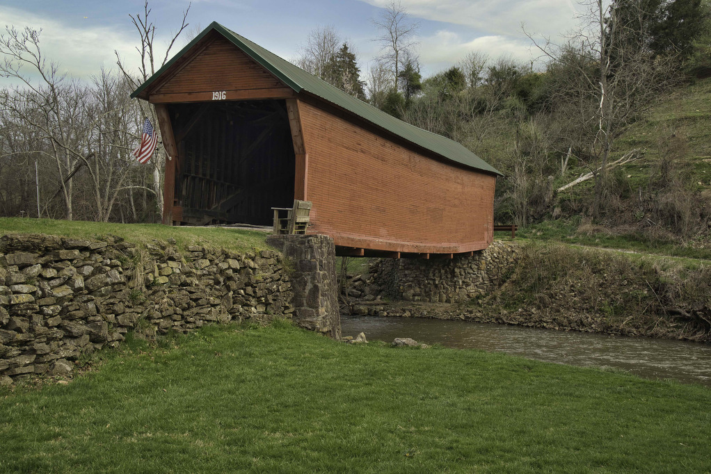
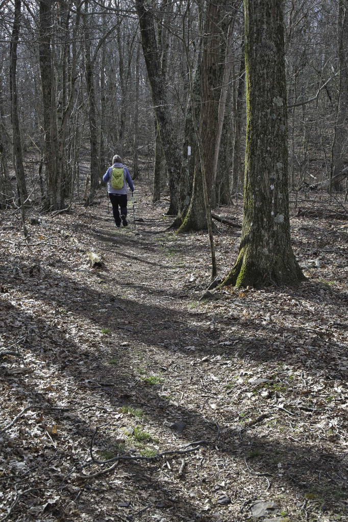
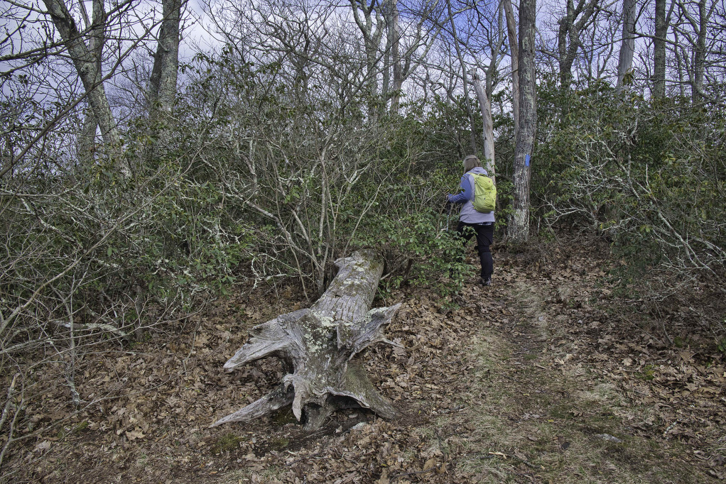
An added bonus to this hike is found on the road to the trailhead. Clover Hollow Bridge is over 100 years old and is one of Virginia’s remaining seven historic covered bridges. The 70 foot span is only open to foot traffic. Stop and take a photo of the bridge and then continue 6.1 more miles on route 601. There are no signs, just a small parking area on the left as you reach the crest of the mountain. From the parking area, cross the dirt road and follow the white blazes on the Appalachian Trail heading northbound.
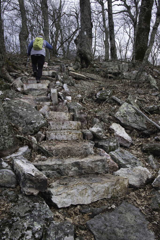
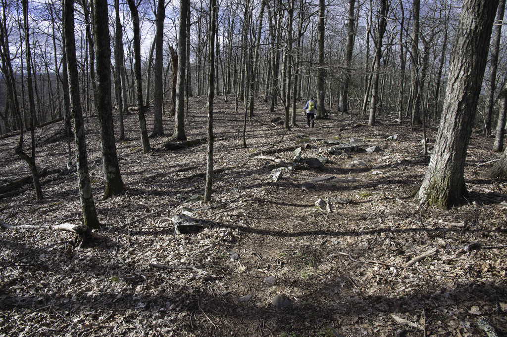
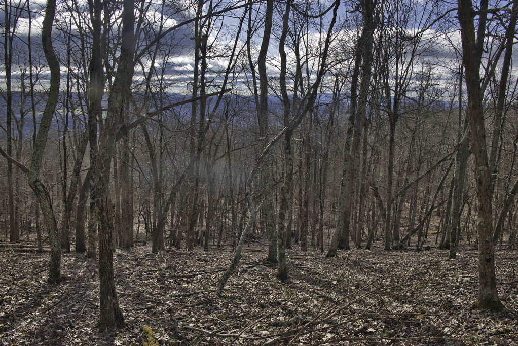
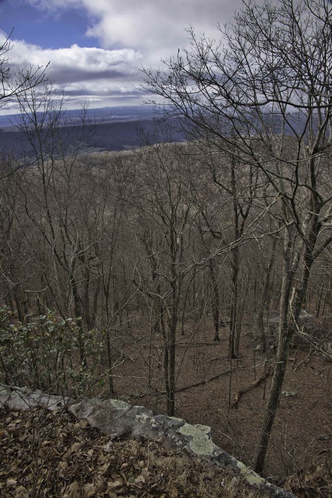
The trail starts off ascending 500′ in the first half-mile before leveling out. The remainder of the hike is a pleasant walk along a ridge. Sections of the trail are very rocky. Pockets of mountain laurel line the trail and are normally in bloom May-June. Through the trees are some partial views as you hike to The Knob.
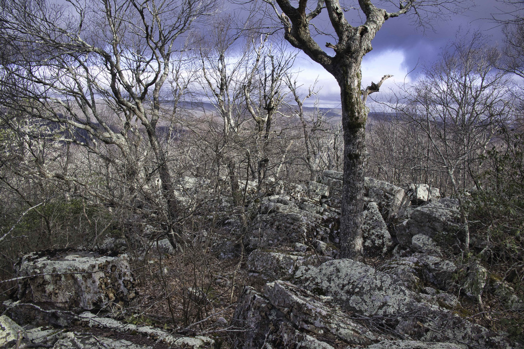
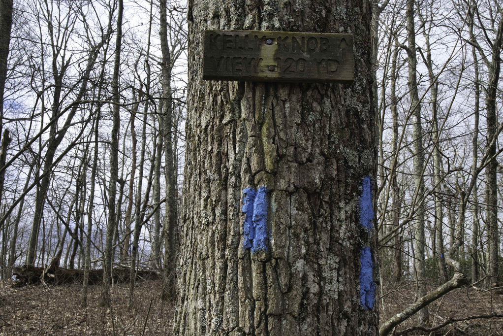
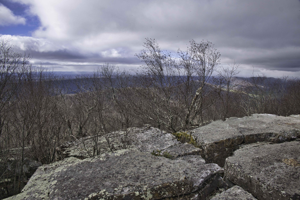
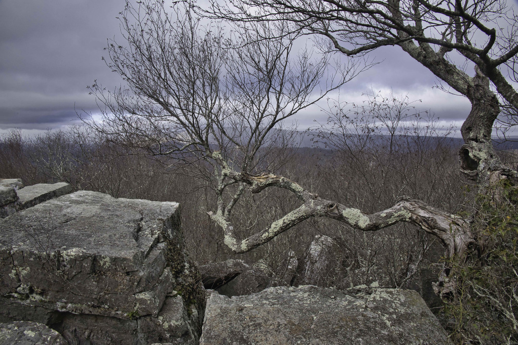
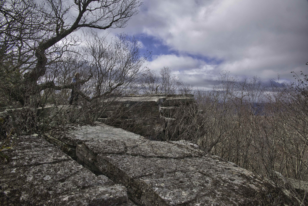
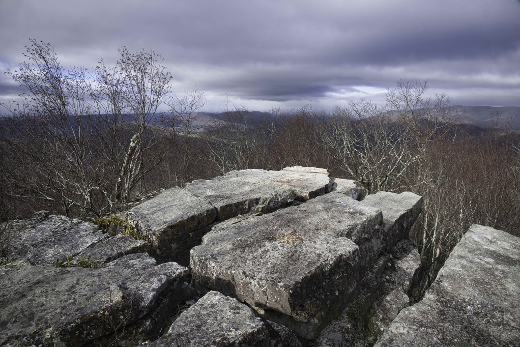
Follow the AT for another 1.5 miles to a trail junction marked by a sign “Kelly Knob View” with blue blazes on a tree. Follow this blue-blazed spur trail on the right 120 yards to the overlook. There are several rocky outlooks to explore. When we hiked in late March, we had partial views at all of the overlooks. However, when the leaves come in, many of these views may be obscured.
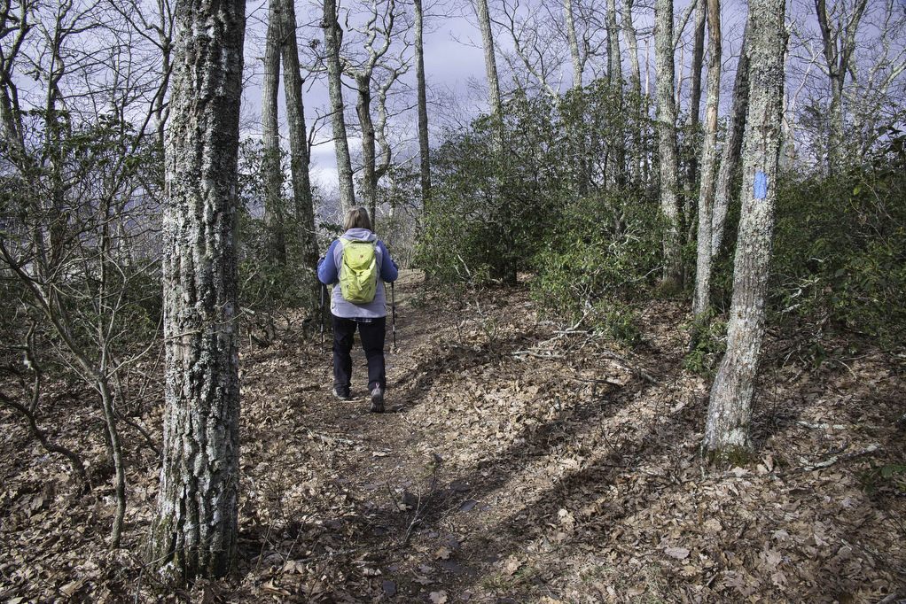
For the best views, on the right of the fire pit continue to follow the blue blazes through mountain laurel to a rocky ledge. Views open up to the valley below. The Mountain Lake Wilderness and Jefferson National Forest are to the west. Take in the views, return on the blue-blazed spur trail and turn left on the white-blazed AT to return to your vehicle.
Hike Photos:
Click on an image below for an enlarged view.
Trail Map:
Beer Pairing:
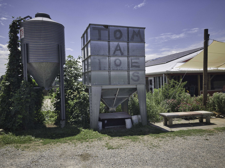
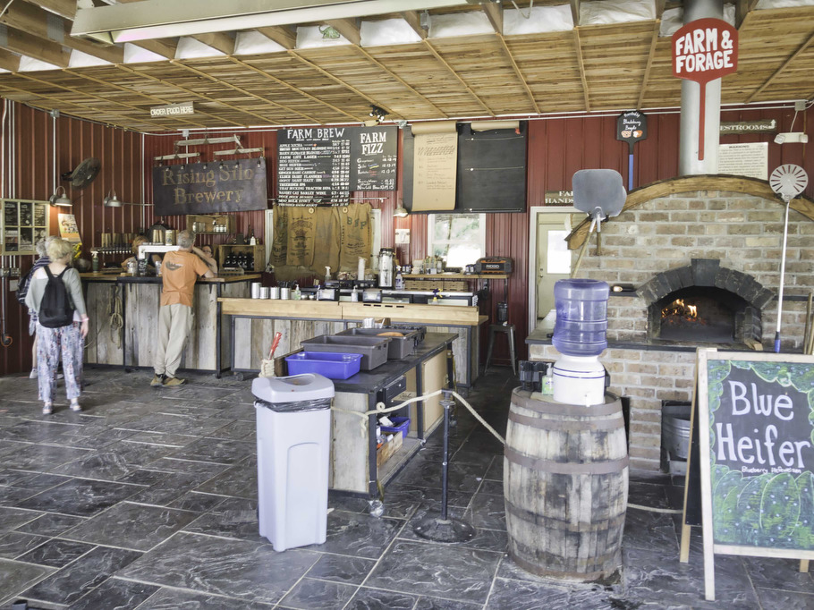
Rising Silo Brewery in Blacksburg is located about 30 minutes from the trailhead. This farm brewery is solar powered and all beers are brewed with exclusively organic malts and water from the farm’s well. Their 3-barrel brewing system incorporates fresh ingredients from Glade Road Growing and other local farms.
Rising Silo has indoor and outdoor seating with live music on weekends. The farm kitchen uses farm produce and offers a variety of food options including pizza, salads, sandwiches, and burgers.
Kathy really liked Treerider (6% ABV & 60 IBU) an IPA with an earthy and fruity bitterness. Brewed with Simcoe, Mosaic, and Ekuanot hops and Golden Promise Pale Malts. This is a really good IPA. Pete enjoyed Goat’s Eye Rye (5.8% ABV & 68 IBU), brewed with American Warrior and Centennial hops and dry-hopped with Saaz and Northern Brewer for an earthy and evergreen aroma
Hike and drink responsibly. Never drink and drive. Stay safe, be responsible, and leave no trace.