
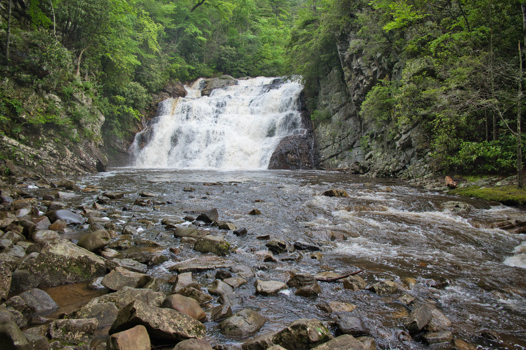
- Highlights: Waterfall, Appalachian Trail, wildflowers
- Distance: 2.4 miles out and back
- Elevation Change 507 feet
- Trail Surface: Dirt with numerous rocky sections
- Difficulty Level: Moderate
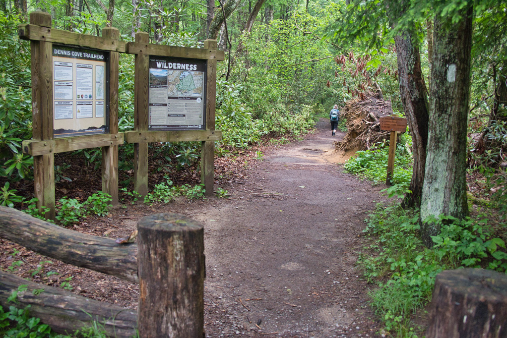
- Trailhead Parking: Dennis Cove trailhead parking, Dennis Cove Road near Kincora Hiking Hostel
- Trail Markings: White blazes
- Website: AllTrails
- Beer Pairings: Watauga Brewing Co.—Keller Pils Pilsner & Watauga IPA
Trail Map:
The Hike:
There are two hikes on the AT to Laurel Fork Falls—this is the shorter one. The other hike is a bit further north and follows the AT southbound for 2.5 miles. This hike follows the AT northbound. We planned three AT hikes on one day, so we got an early start. The AT is well marked and well maintained.
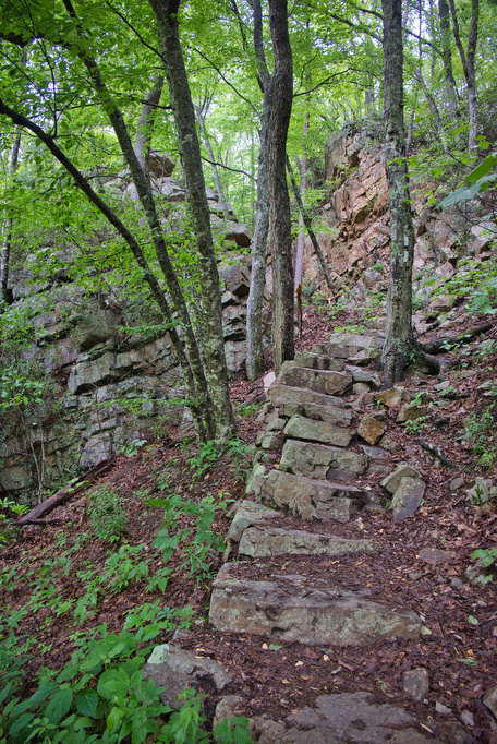
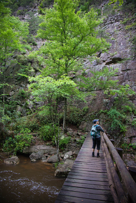
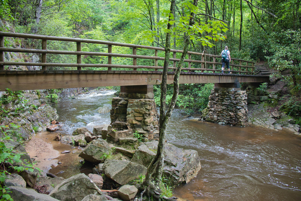
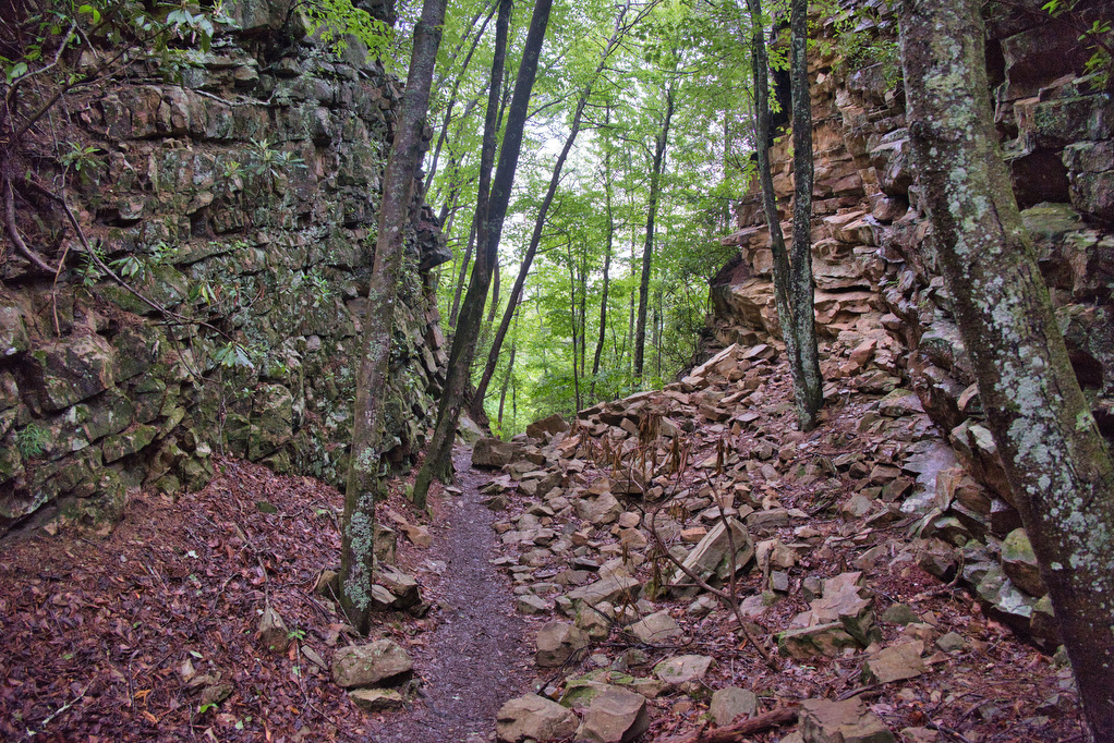
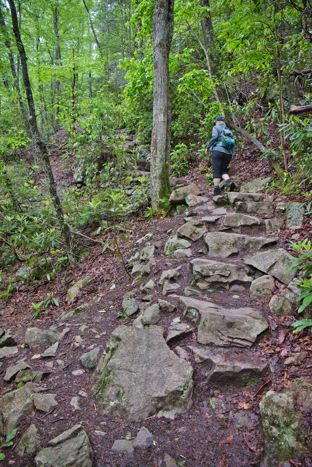
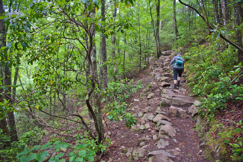
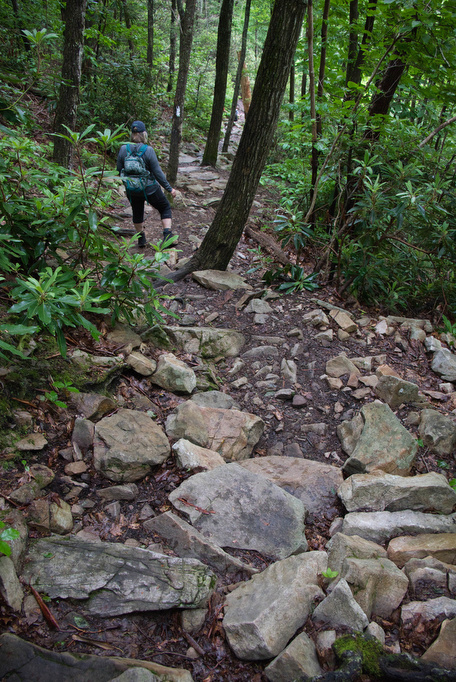
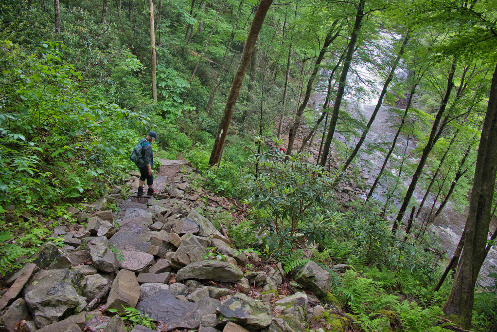
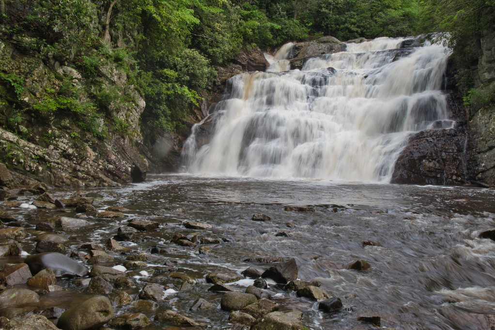
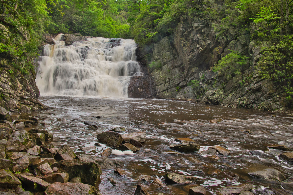
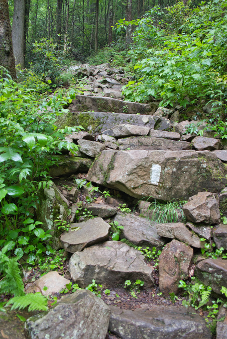
The night before, the area received well over an inch of rain, so the trail was a bit muddy. The AT crosses Laurel Fork on a wood footbridge. The water levels were high after the recent rains and we were excited to see the falls. The trail has several rocky sections and a long series of stone steps descend down to the base of the falls.
As with most waterfalls, you can hear the falls long before you see it. The water was really flowing and the falls were spectacular. We shared the view with two section hikers. We had more hikes to do, so we climbed back out of the gorge and followed the AT back to Dennis Cove and our Subaru.
Hike Photos:
Beer Pairing:
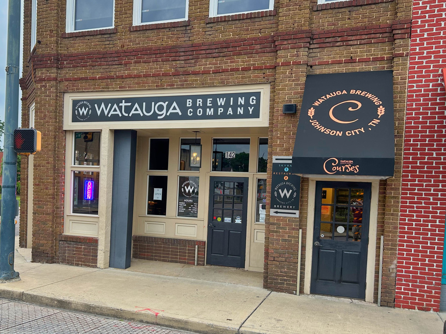
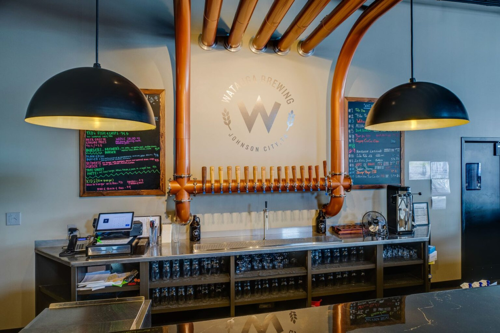
Watauga Brewing Co. in Johnson City is about 35 from the trailhead. The taproom is on the first floor, a restaurant on the 2nd, and as rooftop bar on the 3rd floor. They have 16 taps of craft beer, a full service bar, and the tapas on the 3rd floor were excellent.
The west coast-style IPA (6.1% ABV) is brewed with Citra and Simcoe hops; it was piney and hoppy—perfection in a pint glass! Pete enjoyed a glass of Keller Pils (5% ABV) cold, crisp, and unfiltered—everything he likes in a pilsner.
Hike and drink responsibly. Never drink and drive. Stay safe, be responsible, and leave no trace.