

- Highlights: Mountain views, AT, streams, wildflowers
- Distance: 8.2 mile loop
- Elevation Change 1,716 feet
- Trail Surface: Dirt with some rocky sections
- Difficulty Level: Moderate/Strenuous
- Trailhead Parking: Petites Gap, Blue Ridge Parkway MP 71. Traveling southbound on the BRP, immediately after mile post 71, turn right on unmarked Petites Gap Rd., route 781, a small parking area is 100 yards on the right.
- Website: AllTrails
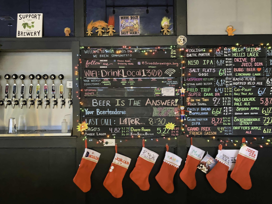
- Beer Pairings: Three Roads Brewing Co.—Fog Light Porter & N150 IPA
The Hike:
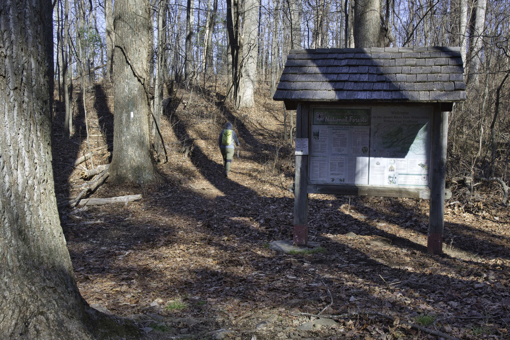
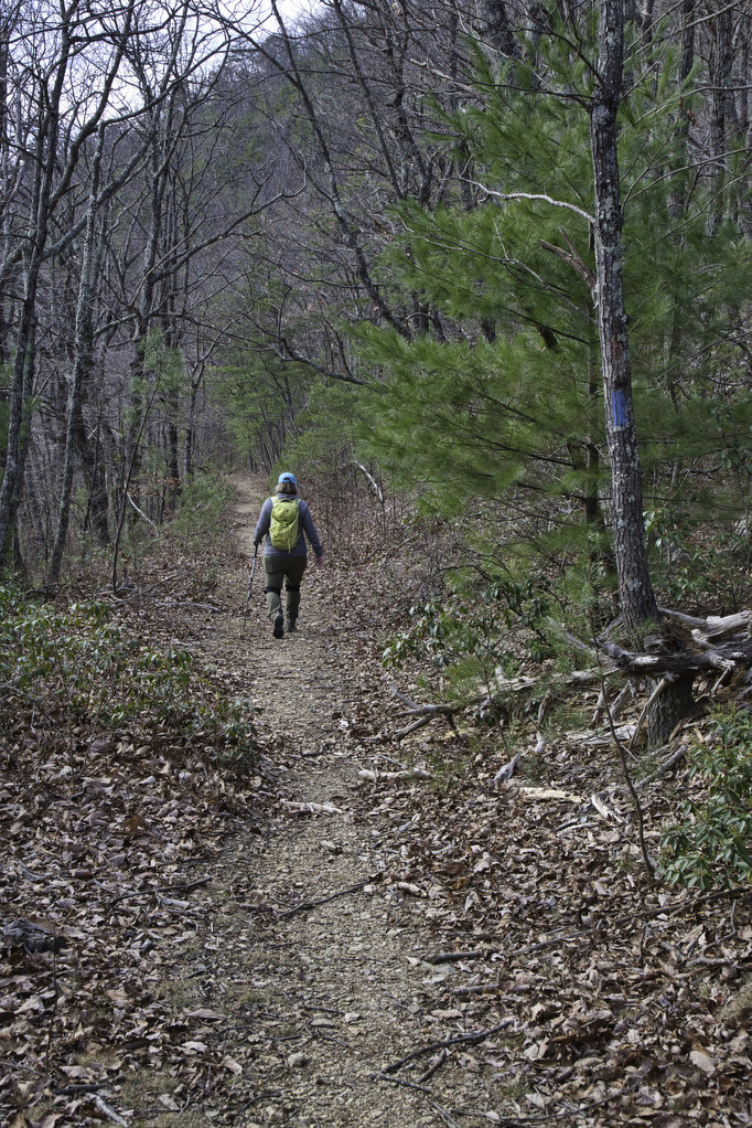
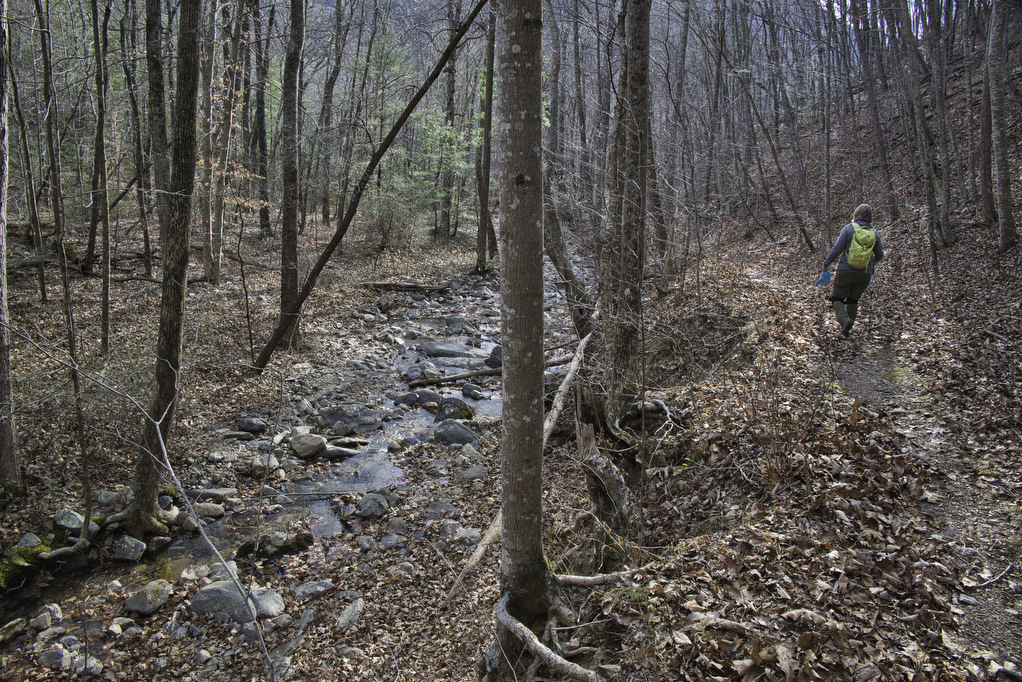
From the trailhead on Petites Gap Road, we elected to hike counterclockwise leaving the 2.8 mile section of gravel road for the end. From the parking area, follow the white-blazed Appalachian Trail northbound. The climb begins immediately and the trail gains nearly 700’ in elevation over the first mile.
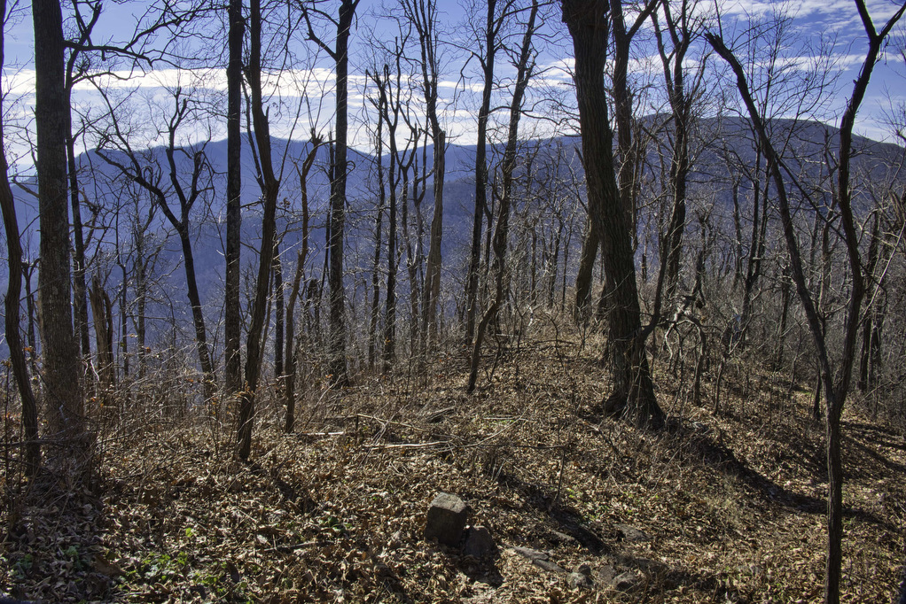
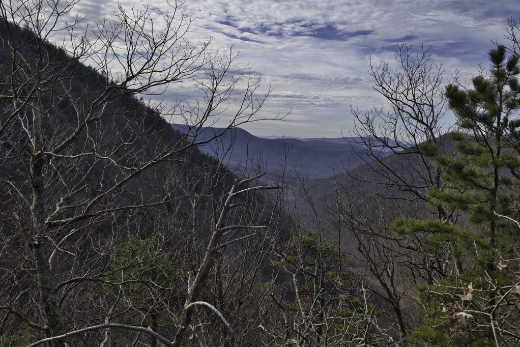
We hiked in early December after the leaves were down and we had partial views of Thunder Ridge to the south and Terrapin Mountain to the east. The AT reaches the crest of Highcock Knob at 1.1 miles and then descends over 1,600’ in the next 4.5 miles.
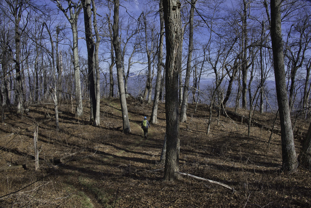
The AT winds its way through several Rhododendron tunnels. In the spring, this area is well-known for wildflowers. The trail passes through a clearing with several campsites at Marble Spring. Just past the clearing the trail runs along the side of a mountain with nice views through the trees on the left.
Arnold Valley Viewpoint:
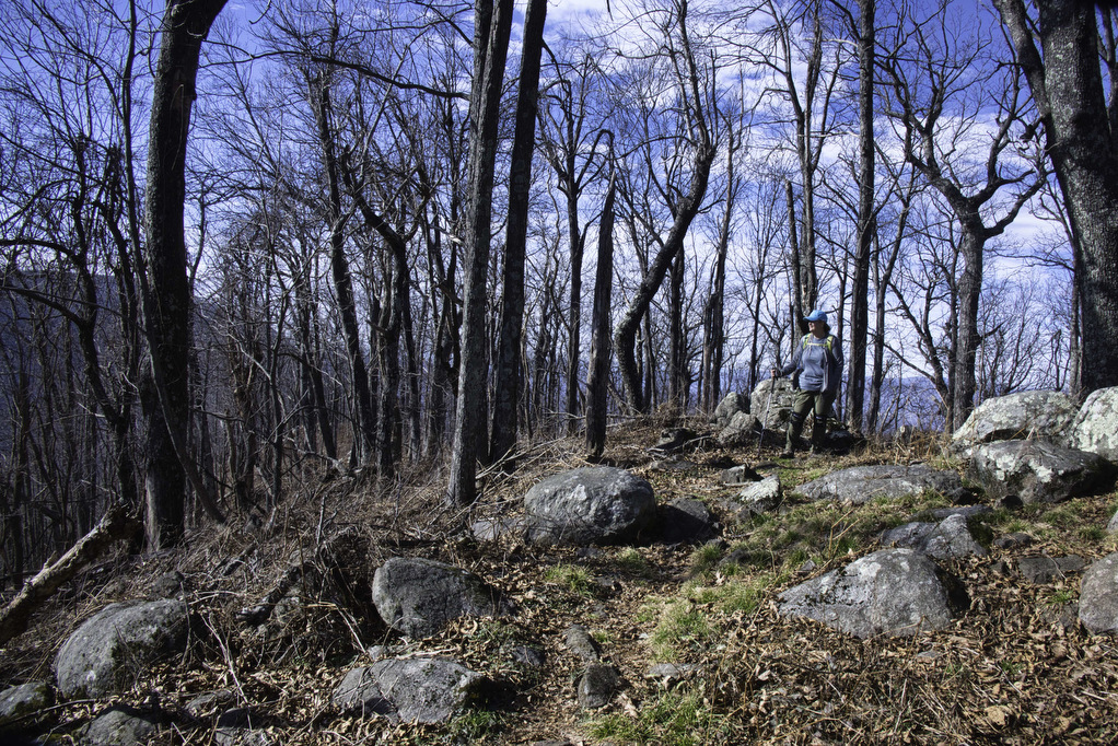
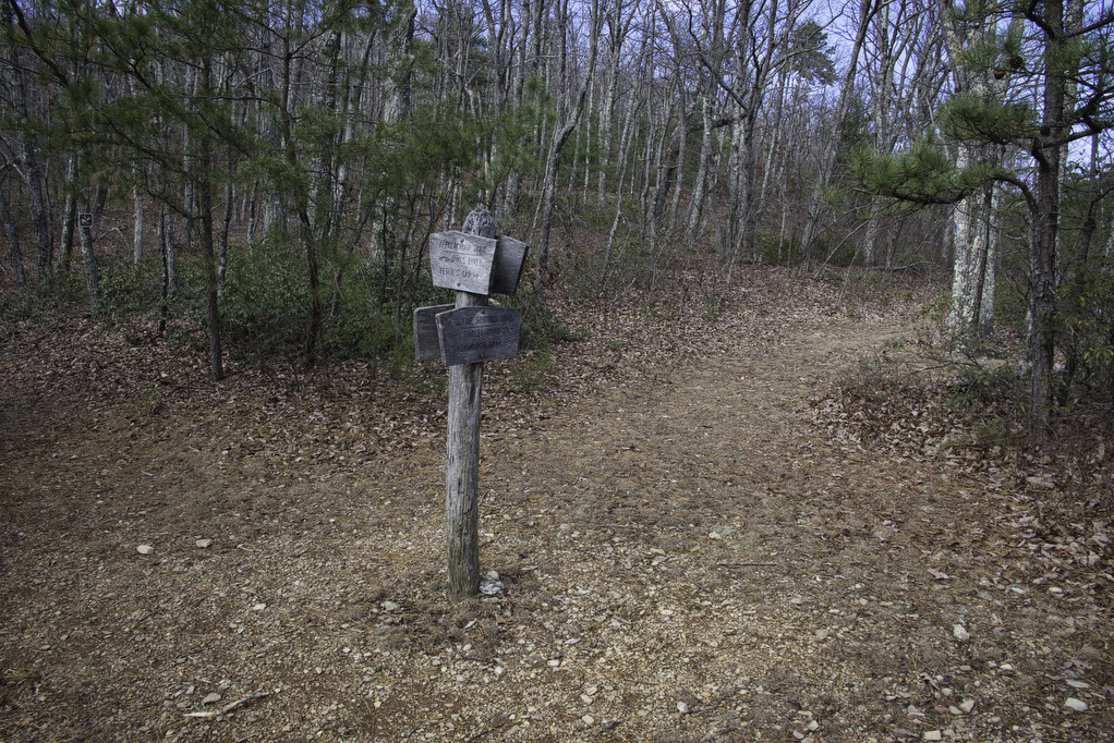
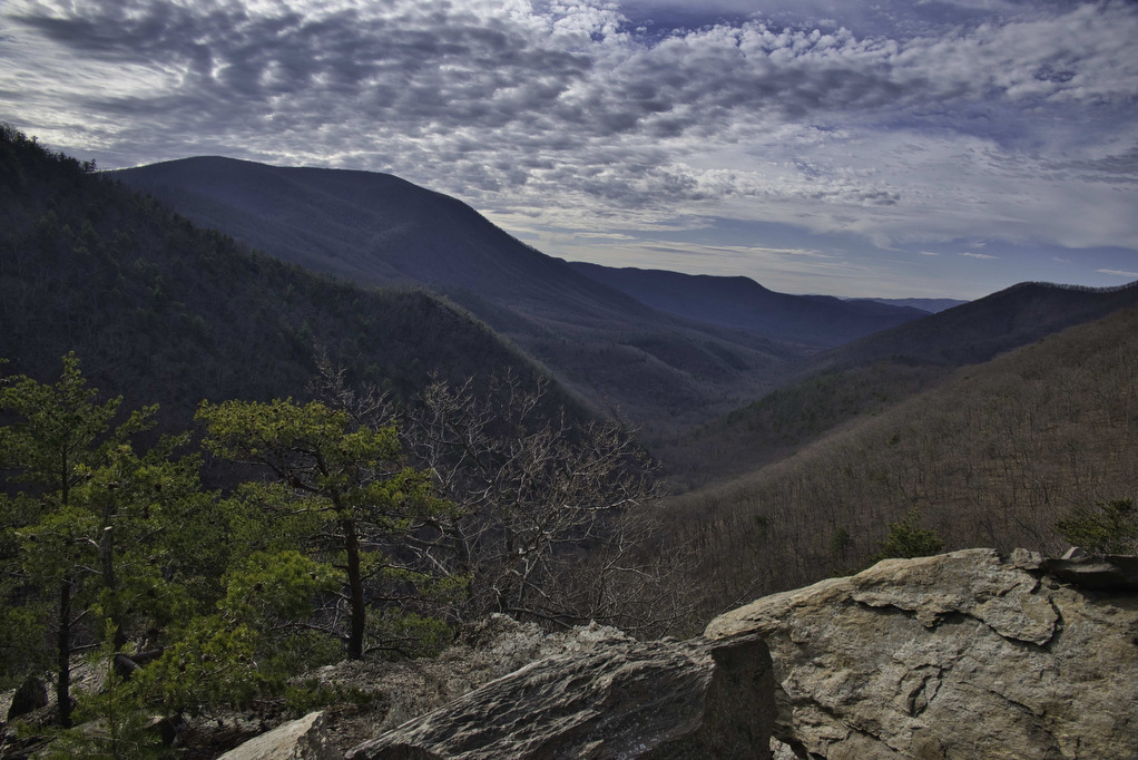
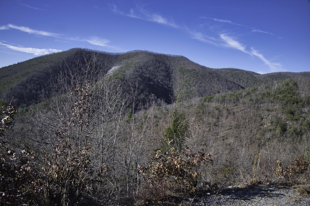
At 2.7 miles, reach a four-way trail junction. Turn left here following the blue-blazed Sulphur Springs Trail. This former logging road is nice and wide as it traverses the mountainside. The best viewpoint is at 3.3 miles. The Arnold Vally unfolds below and is lined by mountains on the right and left.
At this point, you can retrace your steps back to the AT, making this a 6.6 mile out and back hike. This eliminates the final 2.8 miles of the loop which are on a a gravel forest road. We continued the loop by hiking southbound on the blue-blazed Sulphur Springs Trail. The trail continues its gradual descent and is soon joined by Sulphur Spring Creek with a few small stream crossings.
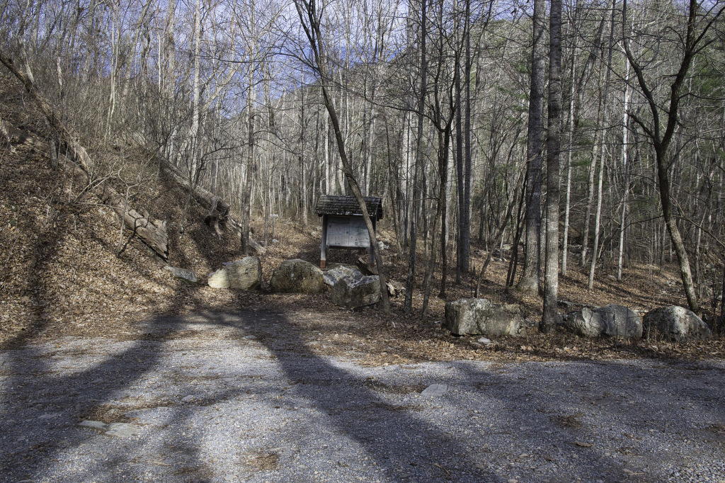
At 5.5 miles, the trail ends at another parking area on Petites Gap Road. Turn left and follow the gravel road as it begins a steady climb up to the Blue Ridge Parkway. For the first .5 miles, the East Fork of Elk Creek runs along the left side of the road. There are a few nice views along the road, but it is still just a road. We normally try to avoid fire roads and forest roads, but the only way to make this hike into a loop is to finish on the forest road. Reach the parking area and your vehicle at 8.2 miles.
Hike Photos:
Click on an image below for an enlarged view.


Beer Pairing:
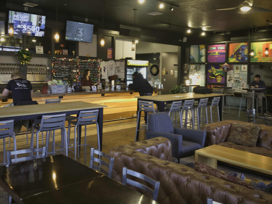
Three Roads Brewing in Lynchburg is about 30 miles from the trailhead. We have visited their Farmville location several times and always enjoyed their beer. has been one of our favorites for several years. The Lynchburg location has indoor and outdoor seating, live music on weekends, and visiting food trucks.
Pete enjoyed Foglight (6.0% ABV • 31 IBU) a Baltic Porter with notes of chocolate, coffee, and toasted grains. It has a crisp finish with a rich and creamy mouthfeel. Kathy always likes a good IPA and N150 (6.5% ABV • 22 IBU) is a good IPA. N150 is a “West Coast meets New England” style IPA. It’s low on bitterness with an aroma of citrus and pine thanks to late hop additions and dry hopping.
Hike and drink responsibly. Never drink and drive. Stay safe, be responsible, and leave no trace.