
- Highlights: Historic High Bridge, civil war earthworks, Appomattox River
- Distance: 8.2 mile out and back
- Elevation change: 270 feet
- Difficulty level: Easy/moderate
- Trailhead Parking: High Bridge Trail State Park, Camp Paradise parking area, 1466 Camp Paradise Road; Rice, VA, park fee required.
- Website: High Bridge Trail State Park
- Beer Pairings: Three Roads Brewing Co.—Drive By Juice DIPA & Dusty Road ESB
The Hike:
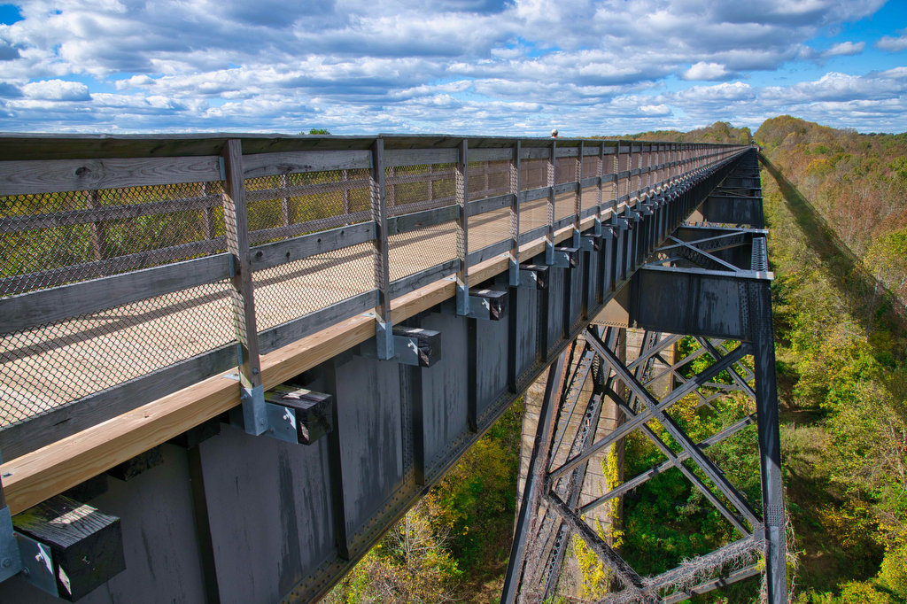
The bridge at High Bridge Trail State Park isn’t the longest bridge in the world. Nor is it the highest bridge. However, it is said the be the longest high bridge in the world. The bridge is more than 2,400 feet long and rises 125 feet above the Appomattox River. The original bridge was built in the 1850s as a railroad bridge connecting Petersburg and Lynchburg.
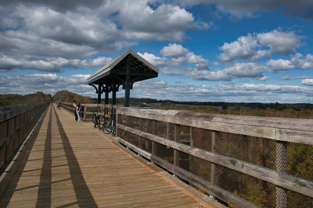
Today the bridge is part of the High Bridge Trail, a 31-mile multi-use trail. The trail runs from Pamplin on the west through Farmville to Burkeville on the east. There are many entry and exit points along the way. The park website above has a detailed trail map which illustrates all the options. The former railroad bed is now a wide, mostly level gravel path and is popular with cyclists and hikers. Bike rentals are available in nearby Farmville and Rice.
We began our hike at Camp Paradise just .3 miles east of High Bridge. The parking area is part of the Virginia State Park system and has rest rooms, picnic tables, and a play area. The trailhead kiosk has a map and trail information. Turn left on the High Bridge Trail heading towards Farmville. Throughout the hike, information signs tell the story of the bridge and surrounding area.
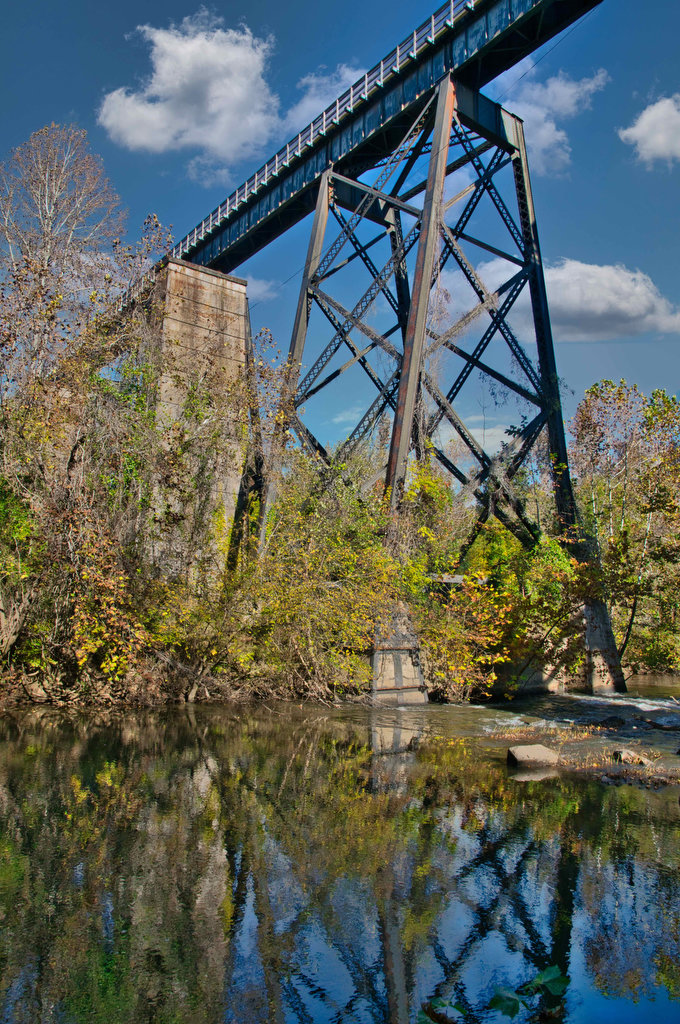
For a unique view of the bridge, turn right at the first trail junction before the bridge on the purple-blazed Camp Paradise Trail. This 1 mile loop takes you below the bridge. Follow the purple trail .3 miles downhill to some nice views of the bridge substructure and the Appomattox River. The original stone bridge piers from the 1850s stand beside the steel structure which now supports the bridge.
Cross under the bridge and continue on the purple trail as it passes along the river. Bear right and reach Civil War earthworks. High Bridge was an important supply route for the Confederate army and Confederate troops were stationed her to protect the bridge. The purple trail returns to the High Bridge Trail. Turn left to reach the bridge.
High Bridge is nearly a half-mile span with some nice views of the river and surrounding countryside. High Bridge is the highlight of this hike. The rest of the trail is just a nice walk on a gravel path. There are a few farms to see but no scenic views. We followed the trail to River Road, another entry point .9 miles west of the bridge. We continued another 1.9 miles to Rochelle and then turned around and returned to the Camp Paradise parking area.
Hike Photos:
Click on an image below for an enlarged view.
High Bridge from the Camp Paradise Trail 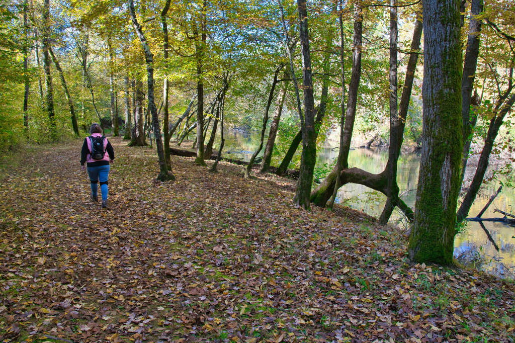
Camp Paradise Trail and Appomattox River 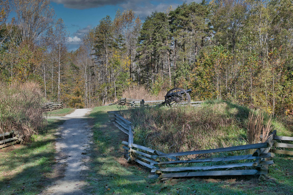
Civil War Earthworks, Camp Paradise Trail 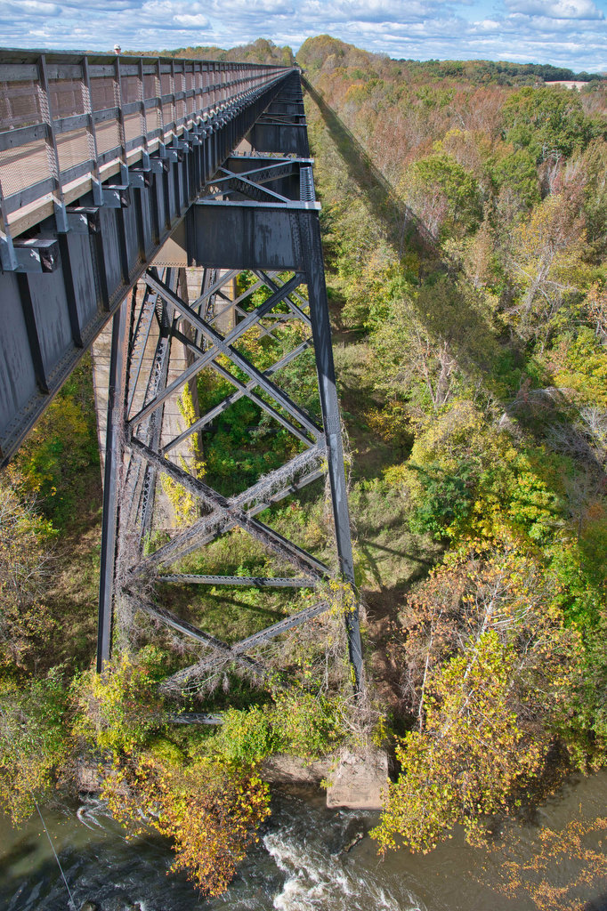
High Bridge 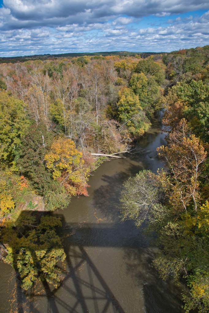
Appomattox River 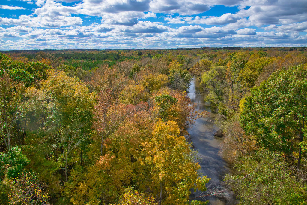
Fall Foliage and Appomattox River 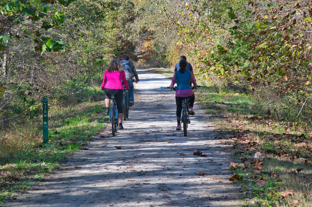
High Bridge Trail 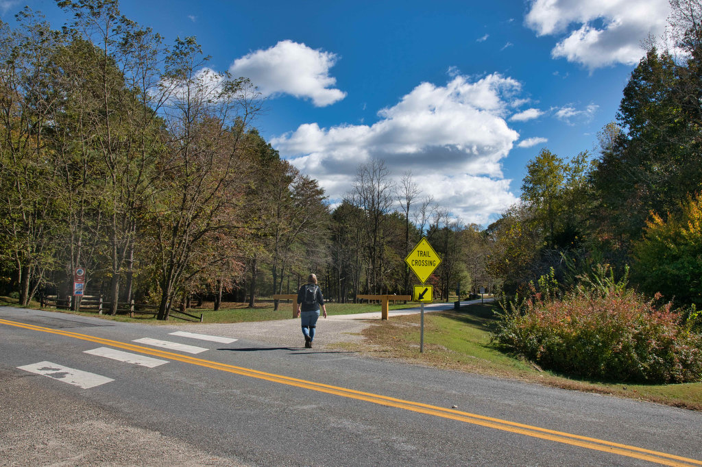
River Road Trail Crossing 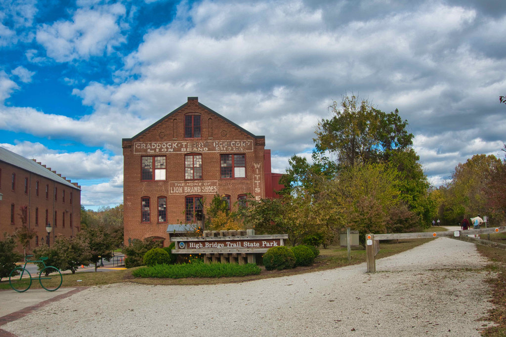
Farmville
Beer Pairing:
Three Roads Brewing Co. is literally beside the High Bridge Trail, just 4.4 miles west of High Bridge. Located in historic Farmville and housed in a former mill, Three Roads has great beer, indoor seating, and an outdoor beer garden right beside the trail. They are kid and pet friendly and a variety of food trucks visit on weekends. They also feature live music on weekends. Three Roads has a second location in Lynchburg.
Kathy liked Drive By Juice, a double IPA brewed with Vic Secret and Azzaca hops. With fruity notes and very low bitterness (just 15 IBUs), this hazy DIPA is a good option after a hike. Pete really liked Dusty Road ESB, a malt forward classic English pale ale brewed with English and American hops. The strong caramel and biscuit malt flavors and aromas with a solid bitterness reminded us of English pubs where we would ask for their best bitter and were rarely disappointed.
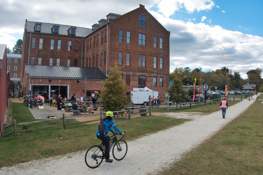
Three Roads Brewing Trailside Beer Garden 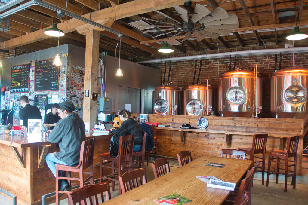
Three Roads Brewing
Hike and drink responsibly. Never drink and drive. Stay safe, be responsible, and leave no trace.