- Highlights: Appalachian Trail, historic district, great views, wildflowers, wildlife
- Distance: 7.8 miles out and back
- Elevation change: 2,278 feet
- Difficulty level: Strenuous
- Trailhead Parking: Lower Town Information Center, Harpers Ferry WV, park fee required
- Website: Harpers Ferry National Historical Park
- Beer Pairings: Harpers Ferry Brewing—Shenandoah Stout & Needles IPA
The Hike:
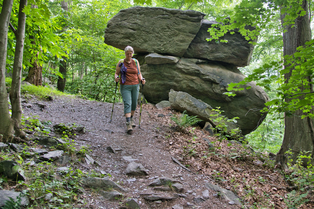
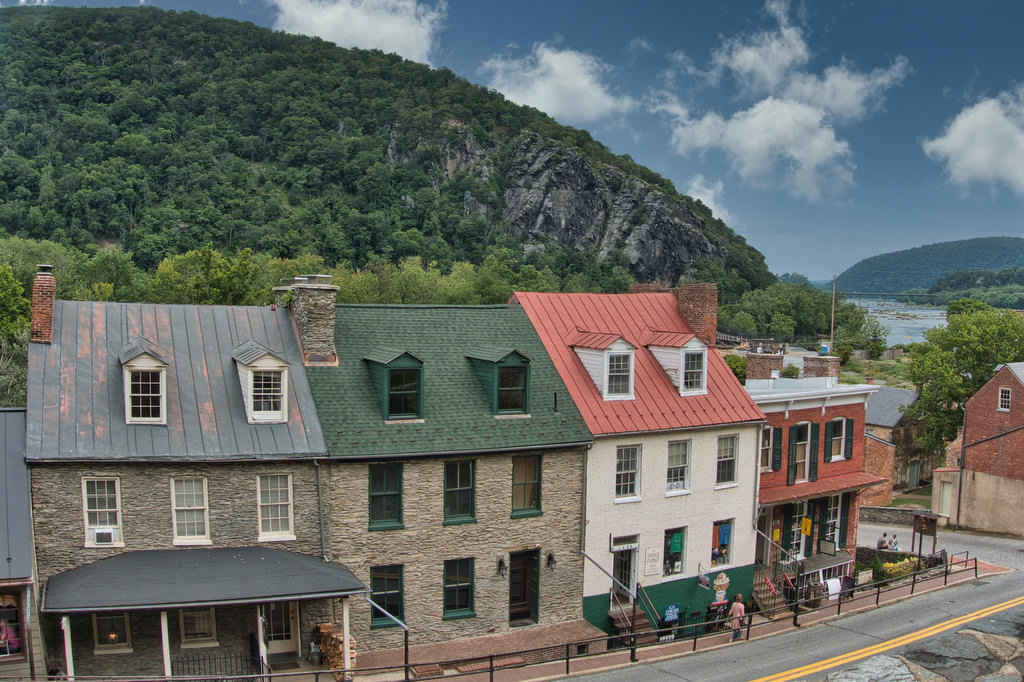
This hike begins with a historic walk through Harpers Ferry and ends with great views of the town from Loudon Heights. In between is a nice stretch on the Appalachian Trail. The trail is well marked and well maintained. Begin this hike at the Park Information Center on Shenandoah Street in Harpers Ferry.
Parking here can be a real challenge. The Park Service provides free shuttle buses from large parking areas outside of the historic district. Another option is to park at a small lot near US 340 and Shenandoah Street, on the north side of the Shenandoah River Bridge. This will reduce the length of this hike by 1.8 miles and the AT passes next to this parking lot.
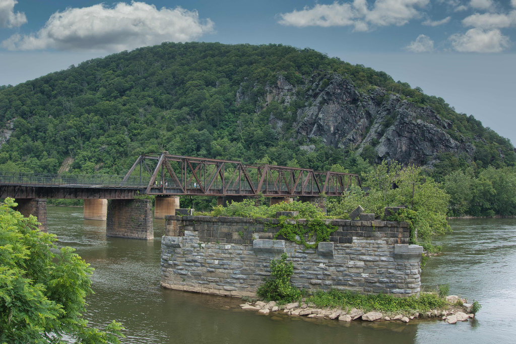
Walk down Shenandoah Street towards to confluence of the Potomac and Shenandoah Rivers. The mountain looming high above on the right is Loudon Heights. To the left is Maryland Heights, another great hike.
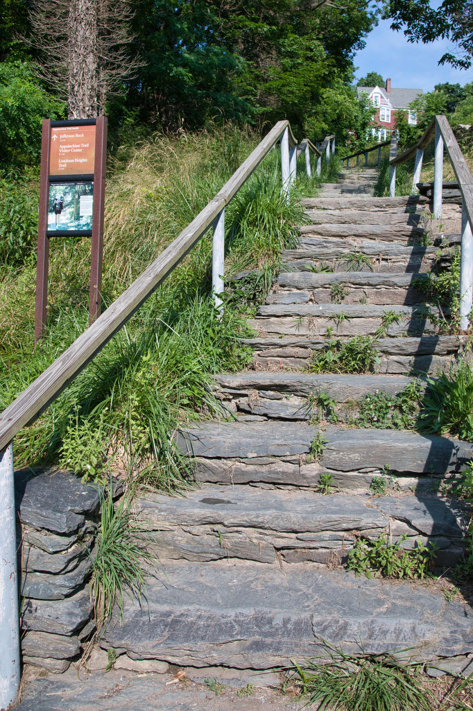
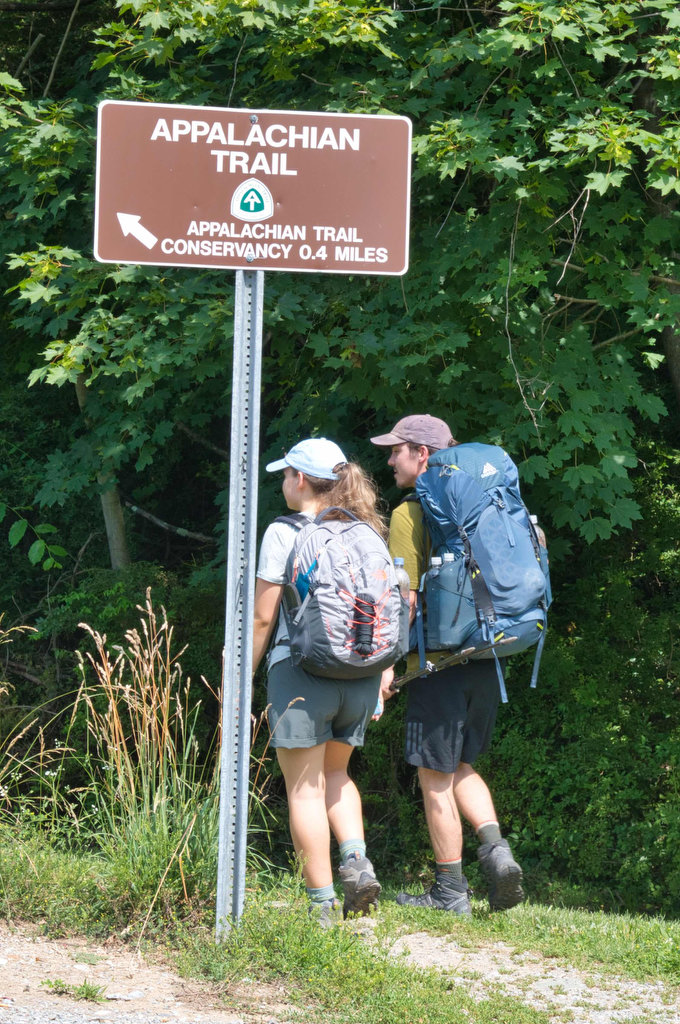
The Appalachian Trail passes through Harpers Ferry from Maryland on the other side of the Potomac. Find the white blazes and follow the AT through town. The trail is steep in places and several sets of stairs help with the climb.
The AT passes by several historic sites including John Brown’s Fort, Williamson’s Tavern, St. Peter’s Church, St. John’s Church ruins, and Jefferson Rock. Historical markers tell the story of these and other sites along the AT.
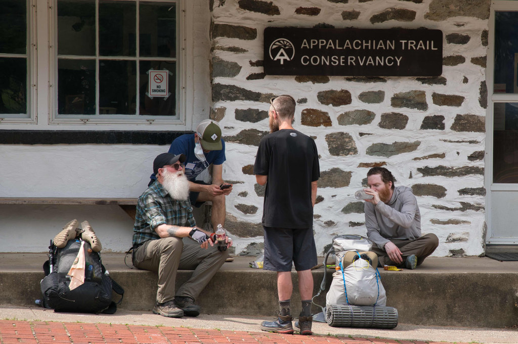
The AT climbs steadily and at .9 miles reaches a well-marked trail junction. A .2 mile spur trail with blue blazes travels through town to the Appalachian Trail Visitor Center. The Visitor Center has exhibits, a gift shop, and hiker services. It is a busy place with through hikers and section hikers taking a break and having their photo added to the center’s collection.
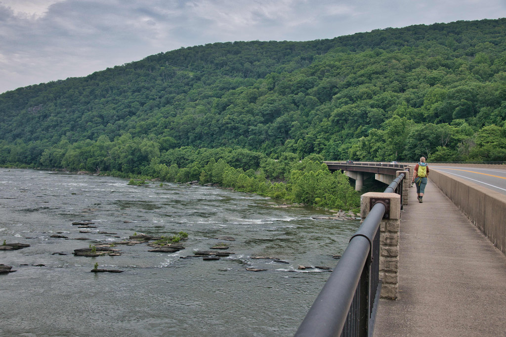
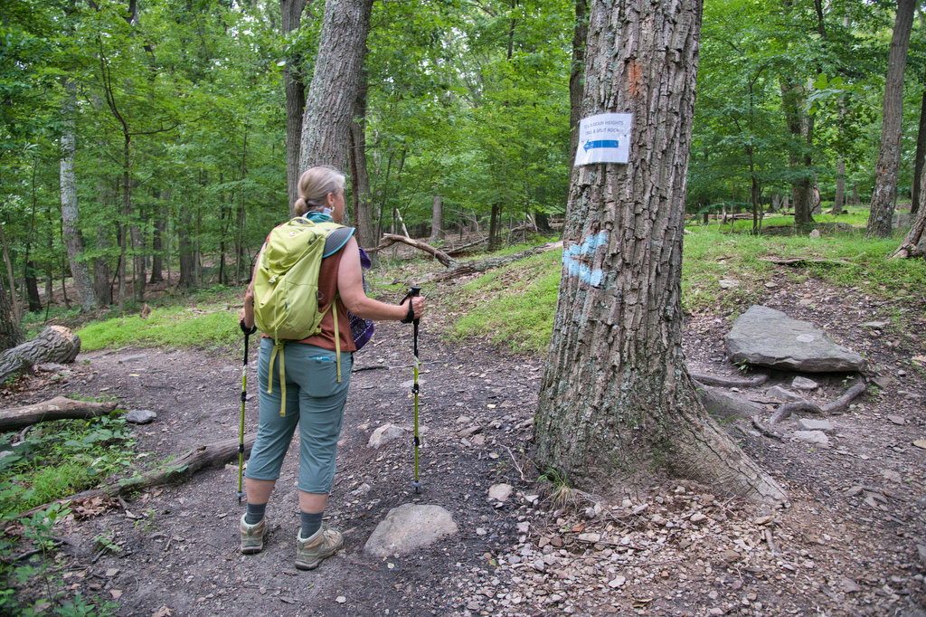
Retrace your steps back to the AT and cross the US 340 bridge over the Shenandoah River, down the steps, and then pass under the highway. The climb continues as you cross over route 32. At 2.4 miles, reach a junction for the blue-blazed Loudon Heights Trail to Split Rock. Turn left here.
The hike levels out considerably at this point. There are three overlooks on the left with views of the rivers, the town, and valleys. The third overlook has the best views of Harpers Ferry, Maryland Heights, and Pleasant Valley to the east.
Take in the views and retrace your steps, mostly downhill, and return to the town and your vehicle. Now it’s time for a beer.
Hike Photos:
Click on an image below for an enlarged view.
Beer Pairing:
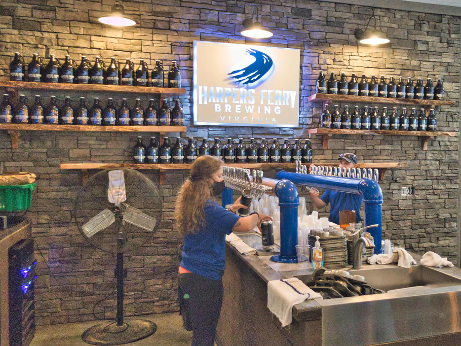
Harpers Ferry Brewing in nearby Purcellville Virginia is a great place to visit after this hike. They have great beer, really good food, and fantastic views. They have indoor and outdoor seating, live music on weekends, and are pet friendly.
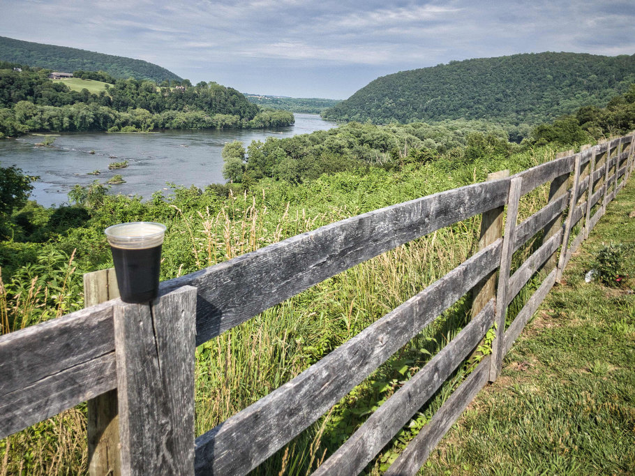
The outdoor beer garden has great views of the Potomac River and the surrounding mountains. The views are worth a visit. A great beer with a great view after a great hike is a the Hoppy Hikers trifecta. Seriously, add this brewery to your bucket list.
Kathy still talks about Needles IPA, named after the rapid “the needles” on the Potomac. This west coast IPA is brewed with Centennial, Warrior, and Cascade hops it has citrus notes and piney bitterness. It is really good.
Pete liked every beer he tried and selecting a favorite was challenging. Shenandoah Stout is an English-style stout with notes of dark chocolate, coffee, and roasted barley. At just 5% ABV, it’s a great session beer. Bucky’s Best Pilsner at 4.5% ABV is another great session beer. It is crisp and refreshing and goes really well with shrimp tacos.
Hike and drink responsibly. Never drink and drive. Stay safe and be responsible.

