

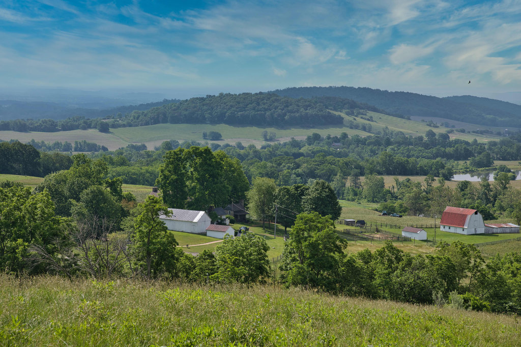
- Highlights: views, meadows, historic area, Appalachian Trail
- Distance: 7.3 mile loop
- Elevation change: 1,254
- Difficulty level: Moderate/Strenuous
- Trailhead Parking: Visitor center parking area on state route 710, entrance fee required
- Website: Sky Meadows State Park
- Beer Pairings: Old Bust Head Brewing—Graffiti House IPA & Bust Head English-style Ale
The Hike:
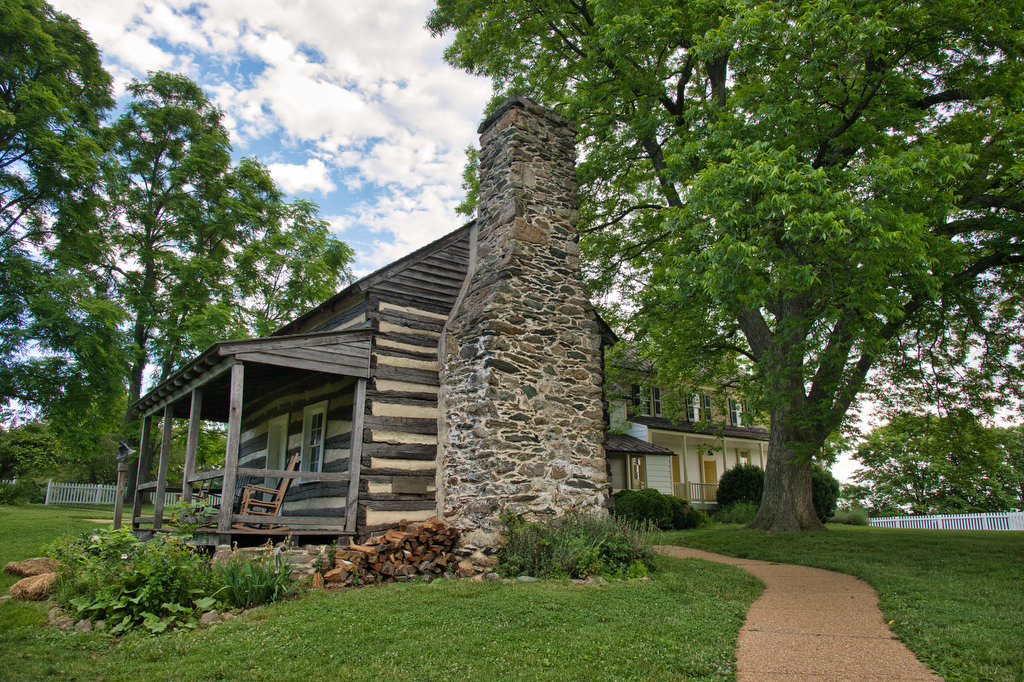
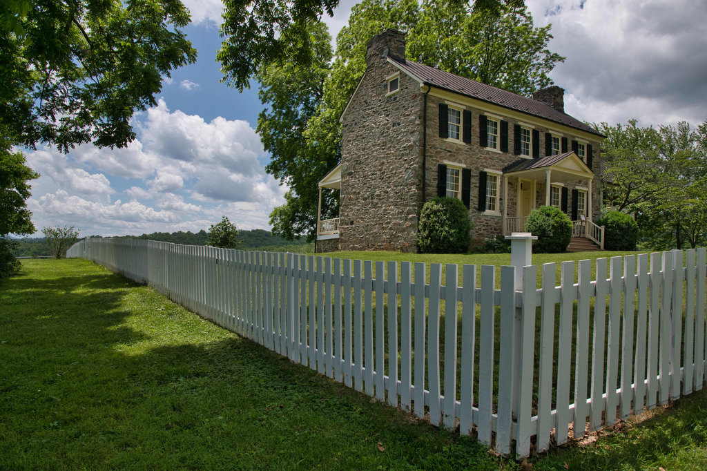
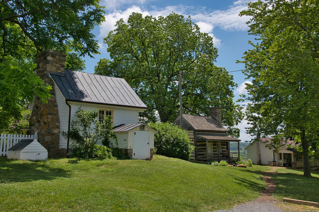
Sky Meadows State Park has over 22 miles of hiking trails. The park was a former farm from the 1730s and numerous farm buildings, houses, and cabins remain on the site and are open for tours. The park consists of meadows, farm land, mountains, and woodland. The trails are well marked and well maintained. There are numerous trail junctions.
Begin the hike at the kiosk in the parking lot near the visitor center. Take a park trail map as there are numerous trail junctions on this loop. Walk up to the park office/ranger station and follow the signs to the green-blazed Boston Mill Road trail. Take the first junction on the right to the red-blazed Piedmont Overlook trail.
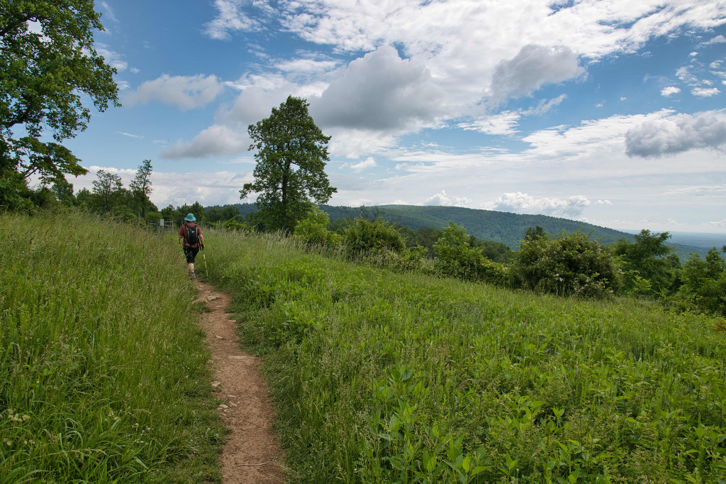
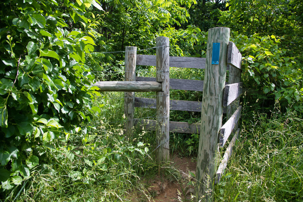
Pass over a foot bridge and through a cattle gate. There are cows in this meadow and dogs must be on a leash. The climb begins and over the next .5 miles you will gain over 400’ in elevation. The views are worth the effort and you might even see some cows. Enjoy the views and continue as the trail enters the woodland with another cattle gate.
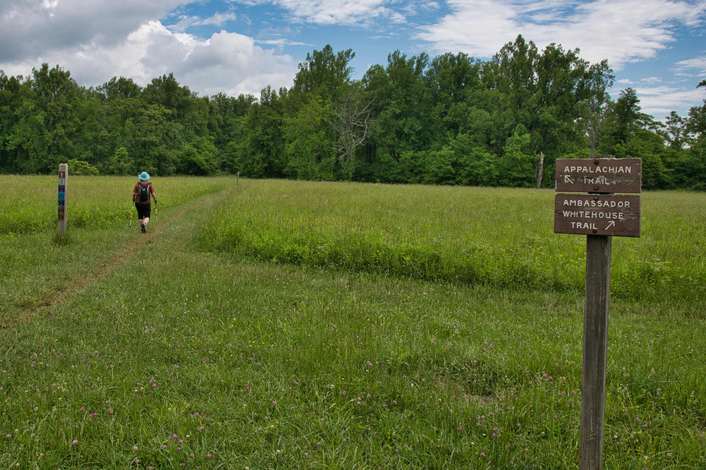
Enjoy the shade as you reach a trail junction. Turn right on the blue-blazed North Ridge trail and follow this trail for a few hundred feet and reach the junction of the light blue-blazed Ambassador Whitehouse Trail. Turn right here and follow this trail as it moves from woodland to meadow.
At 1.5 miles reach the Whitehouse Overlook. This section of the trail is outside of the park boundary and is protected by the Piedmont Environmental Council and several signs here acknowledge those who helped preserve and protect this land. Continue on the trail reaching a junction with the AT at 1.8 miles.
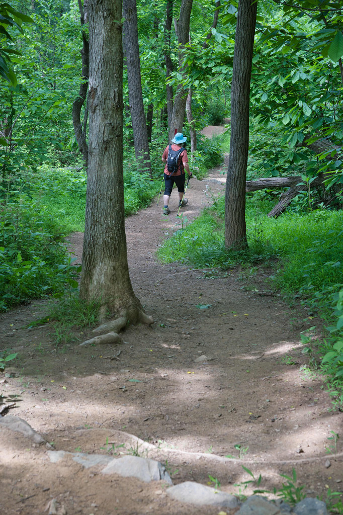
Turn right on the white-blazed AT heading north and shortly the meadow ends and the woodlands take over. At 2.6 miles, reach the junction with the Old Trail. From 1983 to 2004, the Old Trail was the Appalachian Trail. In 2004 the AT was rerouted back to its original and current path. Follow the purple-blazed Old Trail through the woods as it gradually climbs nearly 500’ over the next 1.8 miles.
Reach a junction with the AT at 4.5 miles and turn right on the white-blazed AT. You will soon reach another junction, taking a sharp left onto the blue-blazed North Ridge trail. The path begins to descend now as you continue though the forest. At 5.0 miles, reach the junction with the yellow-blazed South Ridge trail.
Turn right here and follow the trail, a former farm road, as it continues to descend. Soon the trail breaks out of the woodlands with views from the South Ridge overlook and Snowden ruins. The trail ends at the junction with the green-blazed Boston Mill Road. Turn left here are return to the parking area and your vehicle. Make sure to check out the buildings and exhibits in the park’s historic area.
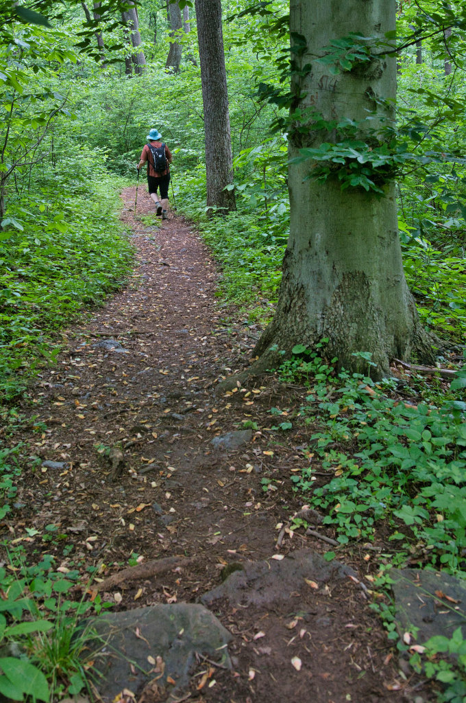
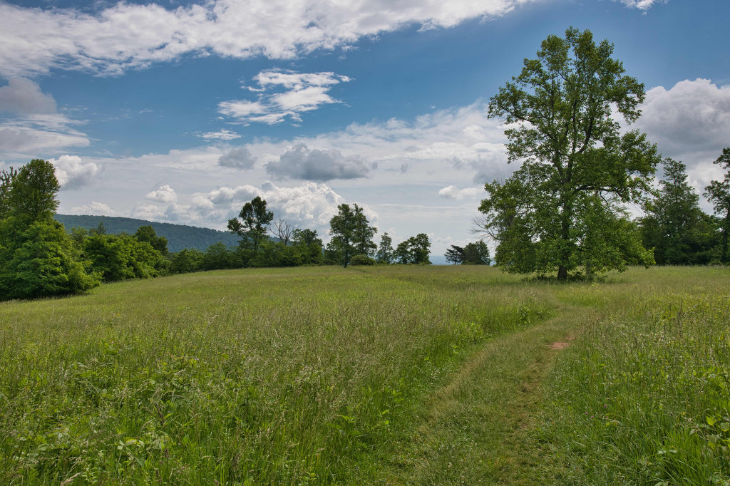
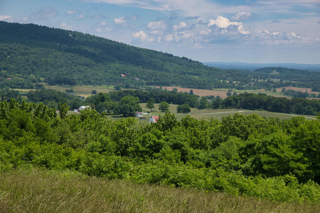
Hike Photos:
Click on an image below for an enlarged view.

Beer Pairing:
There are many breweries and wineries nearby. We like Old Bust Head Brewing in Vint Hill, about 30 minutes from the park. They offer indoor and outdoor seating and a variety of food trucks visit most days.
Bust Head is an English-style ale made with Goldings, Fuggle, and Cascade hops and caramel malt. Graffiti House is a west coast-style IPA made with Mosaic and Cascade hops. It is nicely hopped with 75 IBUs. The Hoppy Hikers were very happy with this beer.
Hike and drink responsibly. Never drink and drive. Stay safe and be responsible.