

- Highlights: Appalachian Trail, bald summit, great views, wildflowers, wildlife
- Distance: 6.1 mile loop
- Elevation change: 1,200 feet
- Difficulty level: Strenuous
- Trailhead Parking: Wiggins Springs Road (route 755) becomes Hog Camp Gap Road (Fire Road 48), parking at the AT crossing at Hog Camp Gap. For additional parking, continue past Hog Camp Gap for .25 miles and bear right.
- Website: US Forest Service
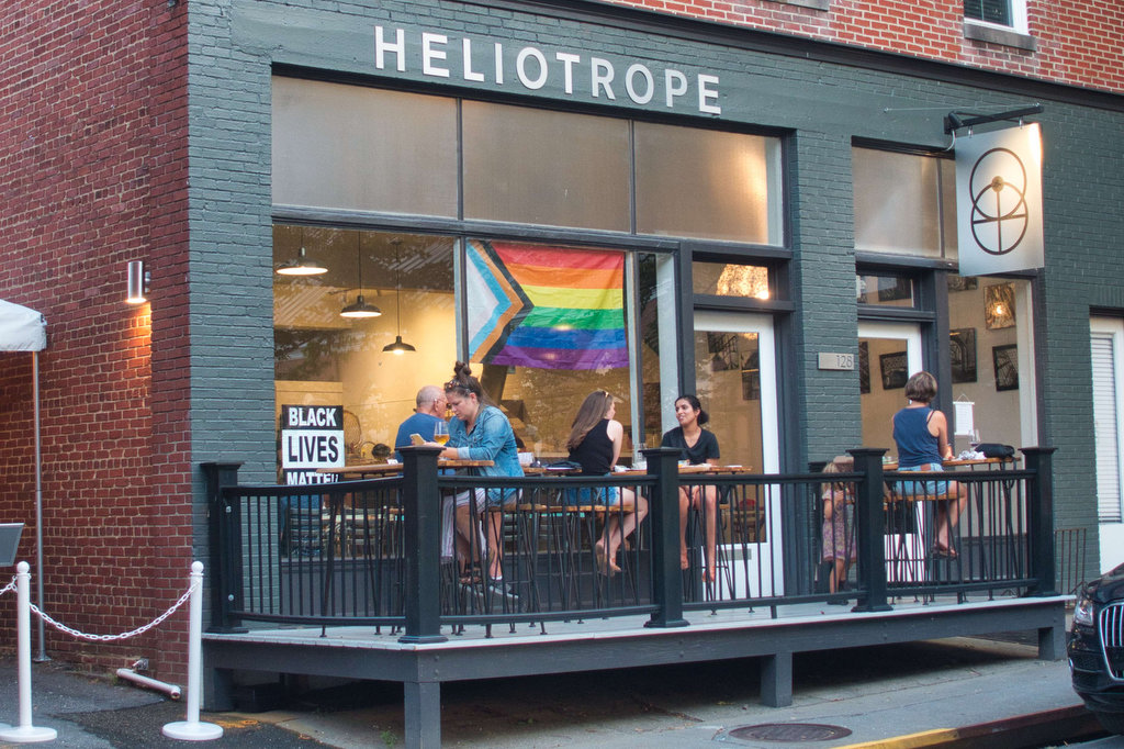
- Beer Pairings: Heliotrope Brewing—Neahkahnie IPA & Quotidan Pils
The Hike:
The most difficult part of this hike may be getting to the trailhead. Wiggins Springs Road is paved for about 1.5 miles. It turns into an unpaved fire road for 1.3 miles to the parking area. A 2-wheel drive low-clearance vehicle may have difficulty if the road is muddy. Our Subaru made it through without any issues.
Cole Mountain is sometimes called Cold Mountain. The US Forest Service calls it “Cole Mountain” and they know best. Cole Mountain is an Appalachian bald mountain as the summit is primarily covered with grasses. While the origins of bald summits are uncertain, they create outstanding panoramic views.
This hike begins on the Old Hotel Trail and joins the Appalachian Trail to form a loop. It is possible to do this hike in either direction. We went clockwise to keep the bald summit views of Cole Mountain for the end of the hike.
At the AT crossing, there is a sign pointing to the Old Hotel Trailhead. Walk along the fire road for about .25 miles past the Mount Pleasant National Scenic Area sign to reach the trailhead. Bear right at the fire road junction and the parking area and trail kiosk will be on the right. The Henry Lanum trailhead, which leads to Mount Pleasant, is also located here. The blue-blazed Old Hotel Trail is on the far right.
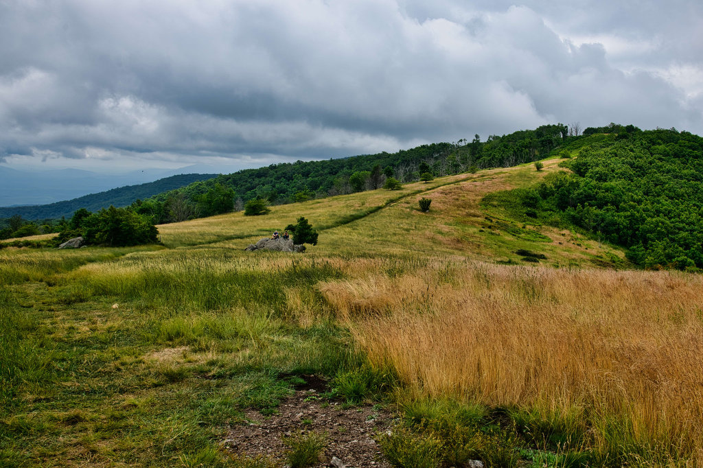
The Old Hotel Trail gradually descends over 500’ as it passes through a large mountainside meadow. At 1.3 miles is a great campsite nestled under large oaks. Even with considerable foot traffic on this trail, the grass was knee-high in places. This grassy meadow is foreshadowing for the spectacular bald summit yet to come. The trail soon passes through a hardwood forest along Little Cove Creek.
At 3 miles, the Cow Camp Gap shelter is on the right beside the stream. The climb begins gradually as you reach the junction with the Appalachian Trail at 3.5 miles. Turn right and follow the white-blazed AT north. The climb becomes steeper and several switchbacks and steps help with the elevation gain. There are two nice overlooks to the left before you reach the bald summit.
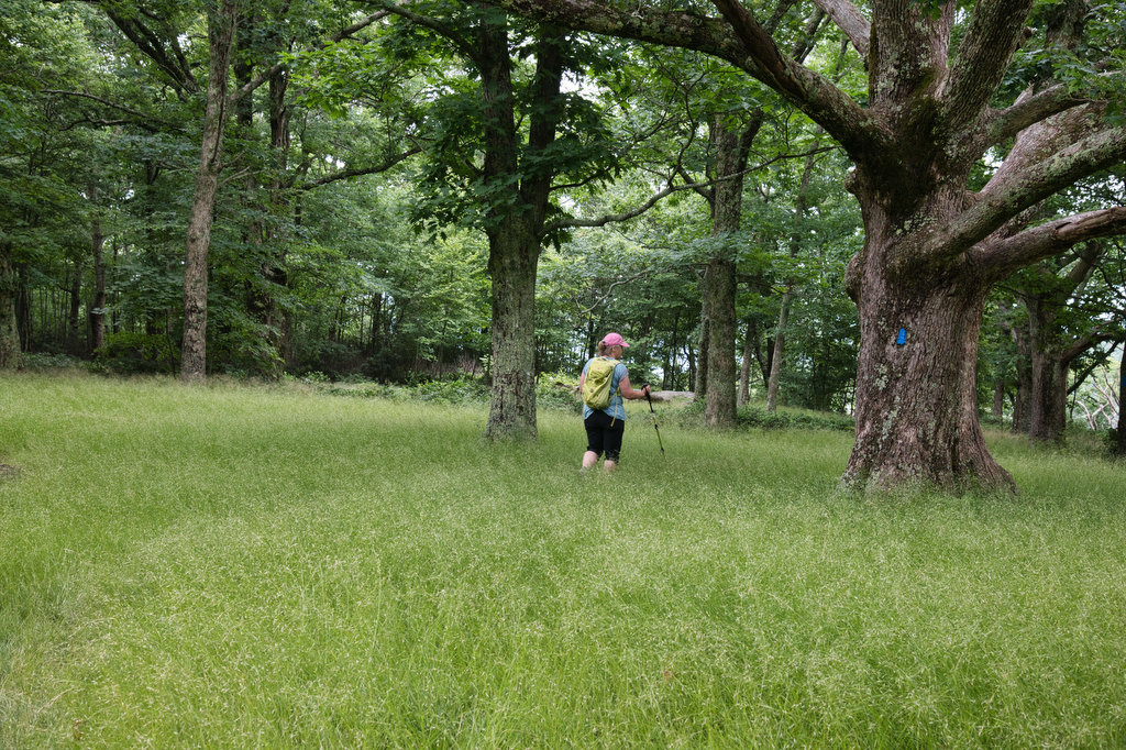
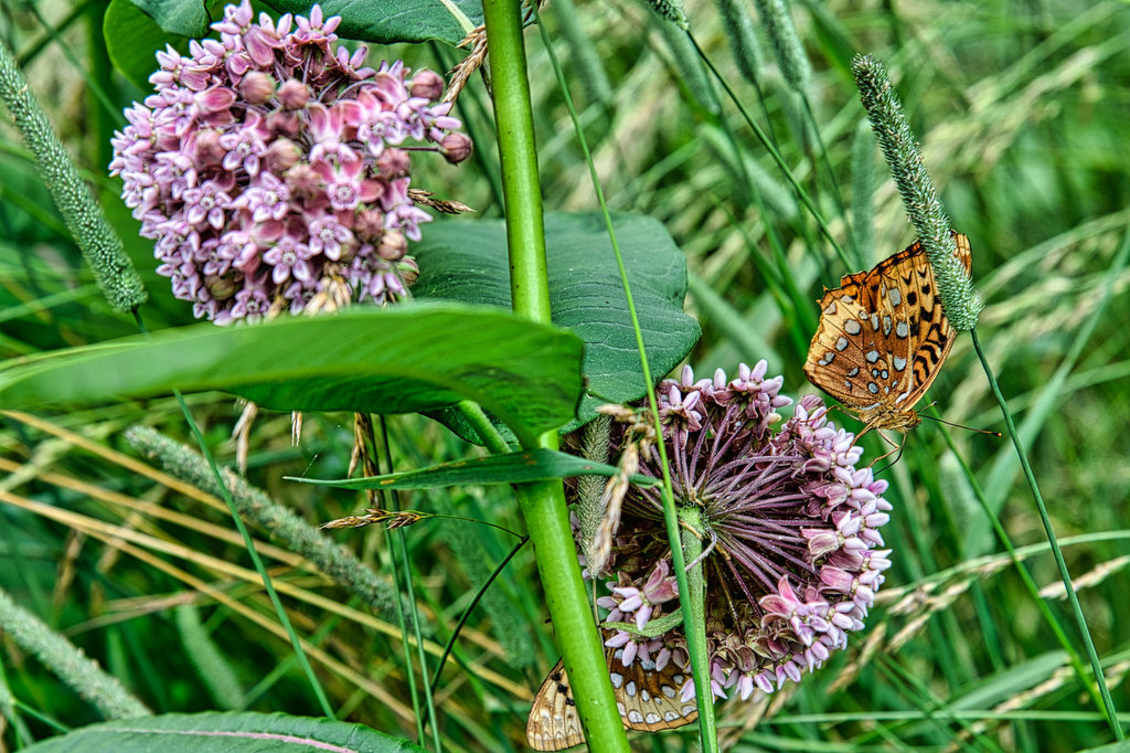
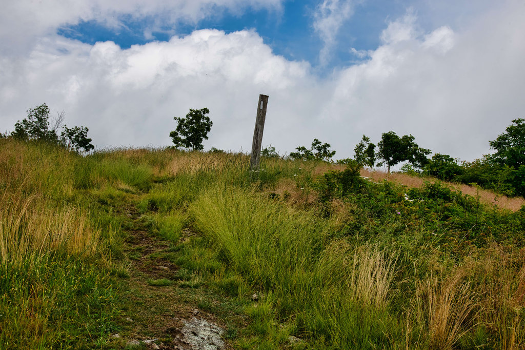
At just under 5 miles, reach the 4,033 foot bald summit of Cole Mountain. The views are simply outstanding. Mount Pleasant looms to the east and this will be our destination tomorrow. Wildflowers are in bloom from early spring to late autumn. Follow the white-blazed posts through the grassy meadow and begin a descent through the forest back to Hog Camp Gap and your vehicle.
If you are feeling ambitious and want to complete two summits in one day, the Mount Pleasant trailhead is nearby. Or head to Lexington for a post-hike beer. We spent the night in Lexington and hiked to the summit of Mount Pleasant the next day.
Hike Photos:
Click on an image below for an enlarged view.
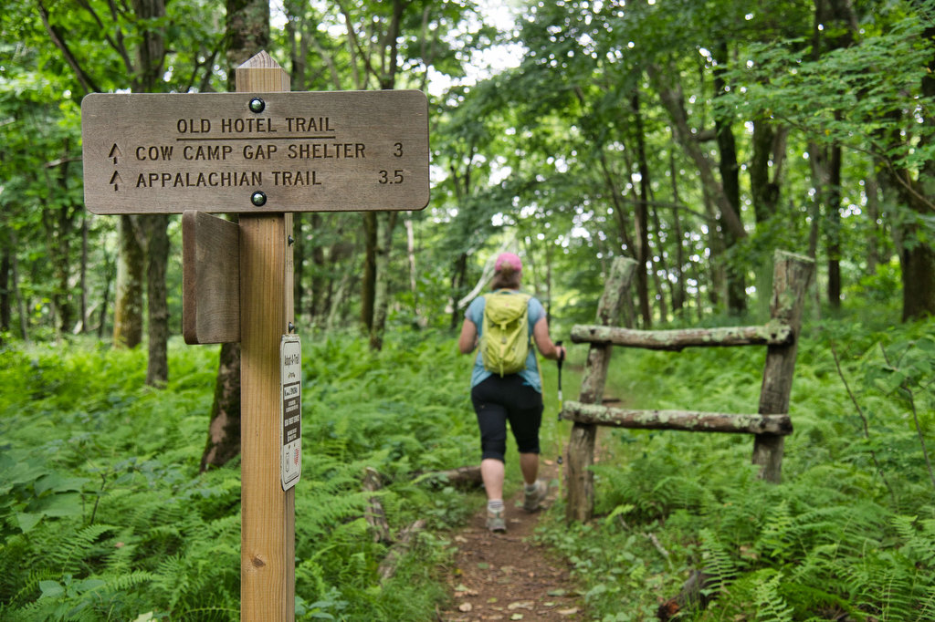
Old Hotel Trailhead 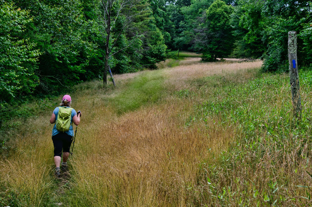
Grassy meadow and campsite 
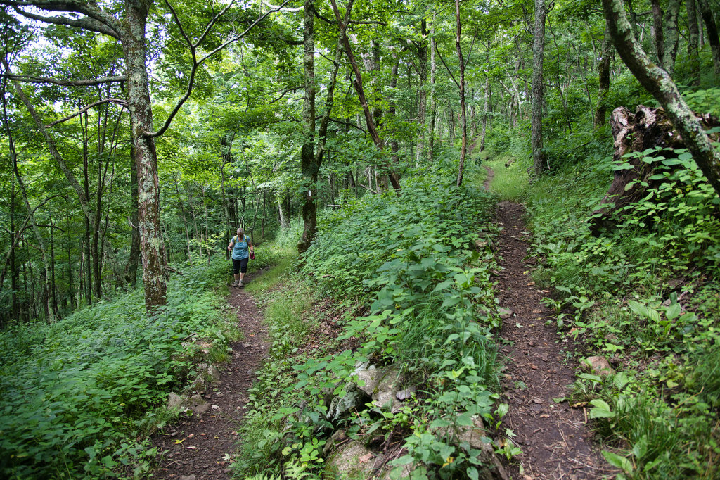
Switchback on AT 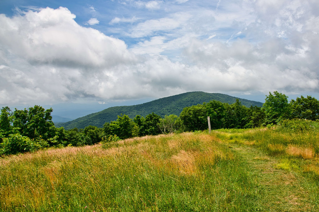
Bald summit of Cole Mountain on the Appalachian Trail 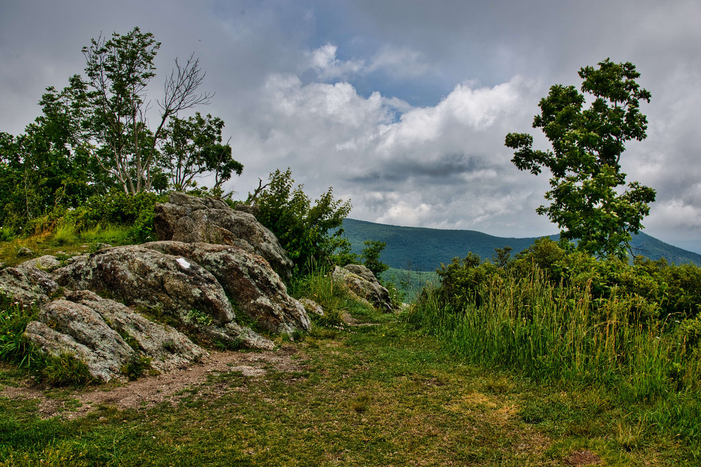

Mount Pleasant from the summit of Cole Mountain 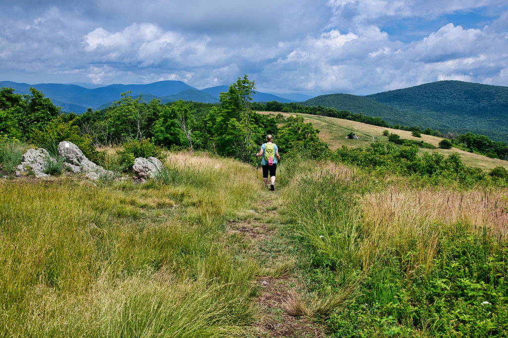
Beer Pairing:
Heliotrope Brewing in nearby Lexington has really good beer and a variety of food options including pizza. They also serve cider and wine. The owners are also serious hikers which makes a good brewery even better.
Kathy enjoyed Neahkahnie IPA, named after brewmaster Erik’s favorite hike in Oregon. It’s a hoppy Pacific Northwest IPA made with Strata, Citra, and Apollo hops. Pete really like Quotidan Pils, an Italian-style pilsner dry hopped with Saphir and made with local barley. The food was great and the staff made for a great experience. We plan to return on our next trip to Lexington.

Hike and drink responsibly. Never drink and drive. Stay safe and be responsible.