

- Highlights: AT shelter,streams, mountain views
- Distance: 6.7 mile loop
- Elevation change: 1,301 feet
- Difficulty level: Moderate/strenuous
- Trailhead Parking: Humpback Rocks Parking Area, Blue Ridge Parkway, mile post 6
- Website: National Park Service and AllTrails
- Beer Pairings: Basic City 6th Lord IPA & Brother’s Skyline Falls IPA
The Hike:
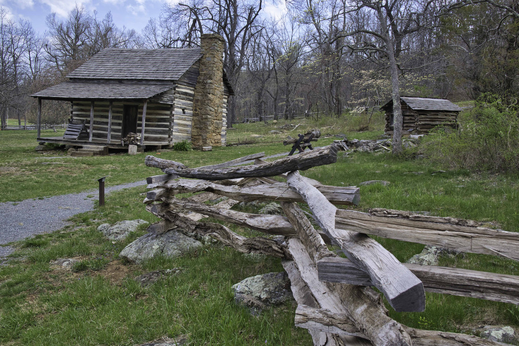
This hike begins at the Humpback Rocks parking area. Humpback Rocks is a popular hike and the parking lot fills up quickly, especially on weekends. If the parking area is full, additional parking is available across the Parkway at the Visitor center. This will add about .3 miles each way to the hike but take you through a restored 1890s mountain farm.
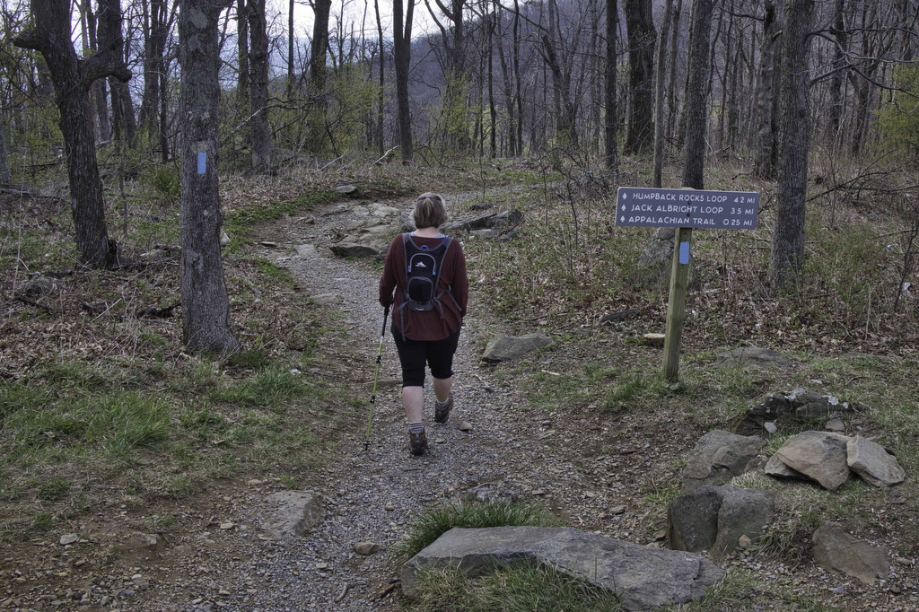
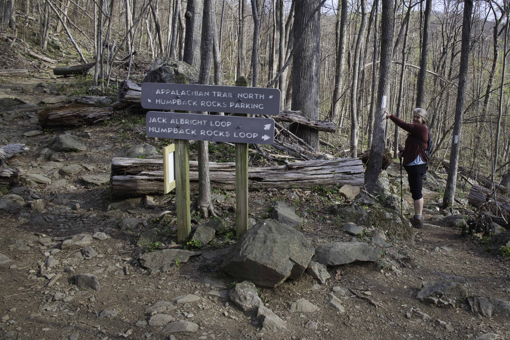
There are several trailheads in the Humpback Rocks parking area. A kiosk has a trail map and hiking information. To the left of the kiosk at the far end of the parking area are two trailheads for the Jack Albright Trail Loop. Take the blue-blazed trail on the right with a sign for the Appalachian Trail: .25 miles. The trail on the left will be the return for this hike.
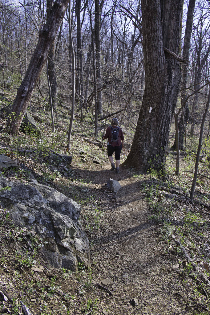
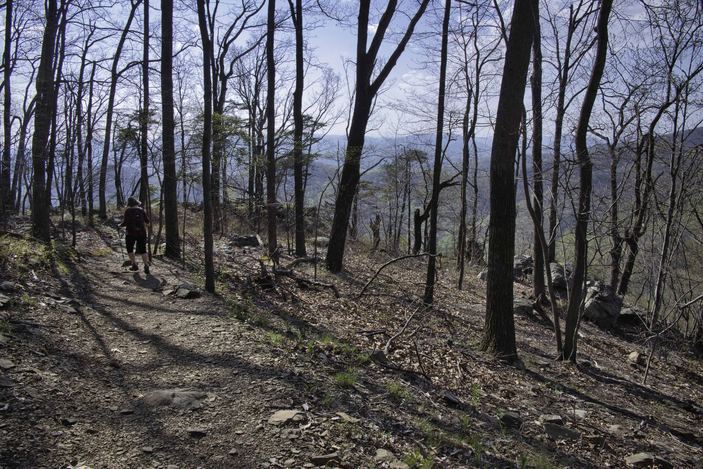
Follow this short connector trail to the junction with the AT at .25 miles. Take the first trail on the left and follow the white blazed AT heading north. After a long winter it was good to be back on the AT. The trail begins a gradual descent into Mill Valley.
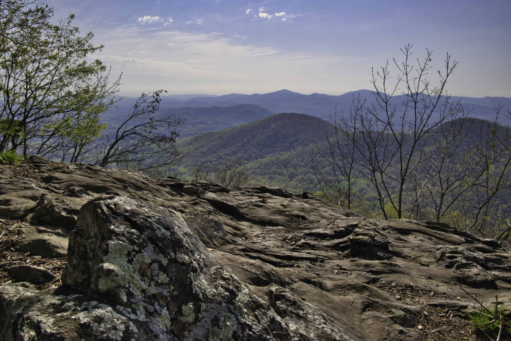
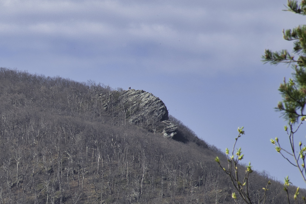
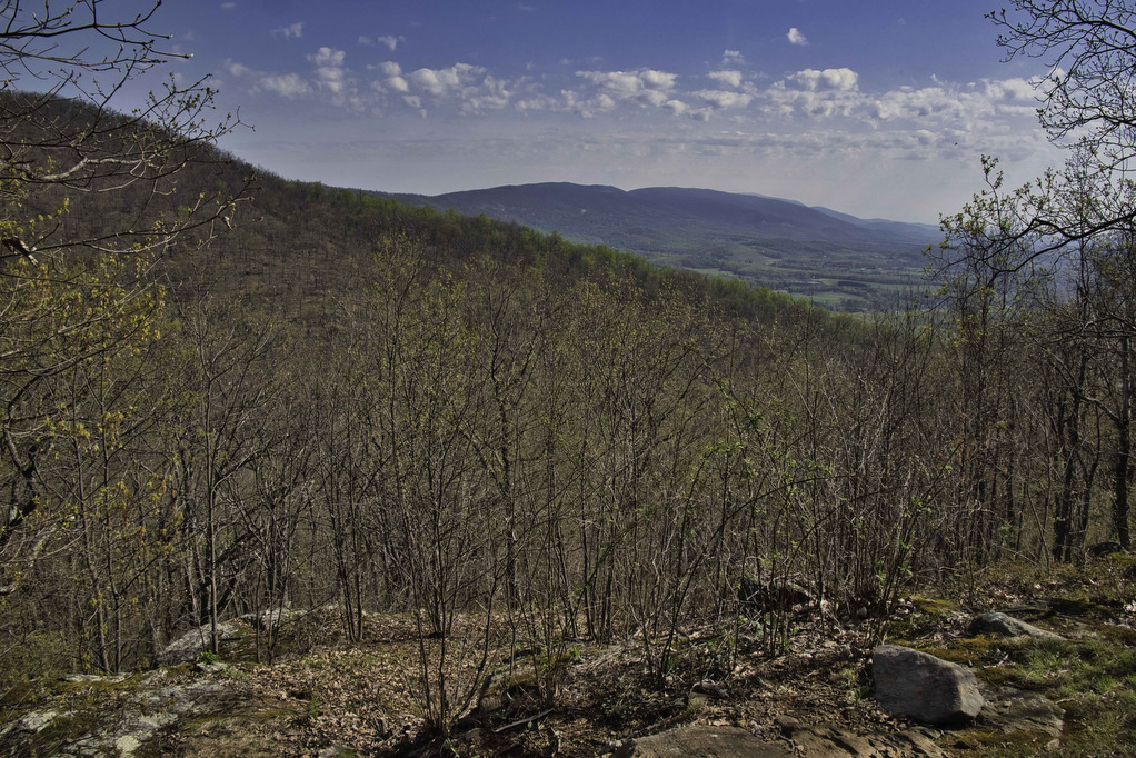
Look for a sign for the Glass Hollow Overlook at 1.1 miles. Bear right here and follow the short spur trail for .2 miles to the best overlook on this hike. To the east are views of the Rockfish Valley and to the south is Humpback Rocks. On a clear day, you can see hikers on top of the rocky summit.
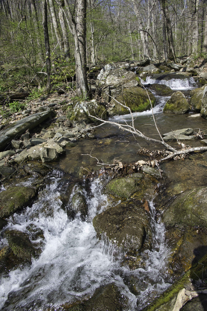
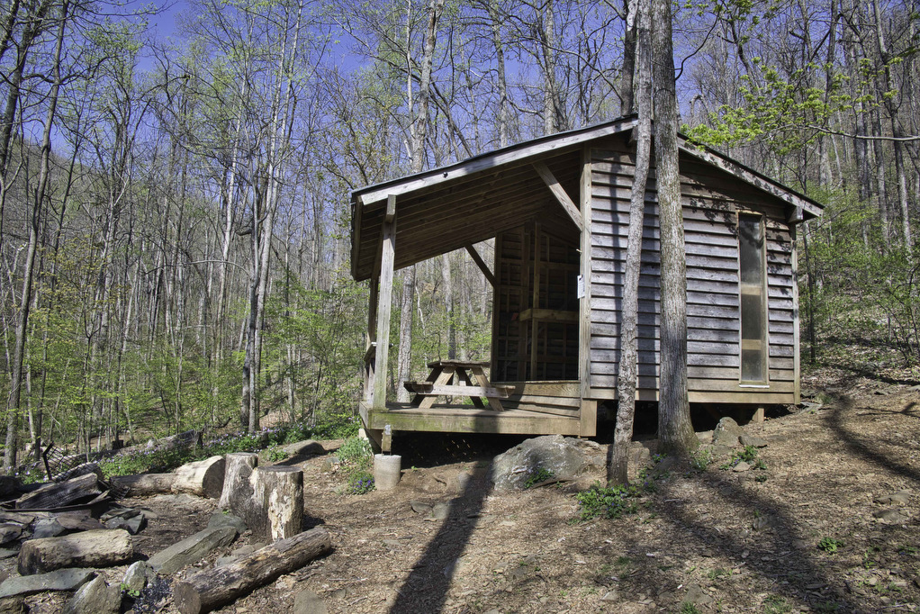
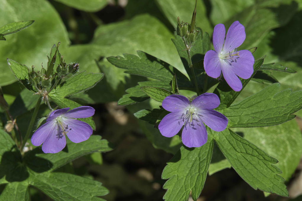
Return to the AT heading north (right). At 1.5 miles is a junction with the Jack Albright Trail. Continue on the AT as it descends through a series of switchbacks into Mill Valley. A nice view of Bear’s Den Mountain in Shenandoah National Park can be seen through the trees. As you descend you can hear the creek cascading over rocks. Rock hop across Mill Creek to the Paul Wolfe AT shelter. In late spring, this area is full of wildflowers. The AT shelter log books make for some great reading while having a snack.
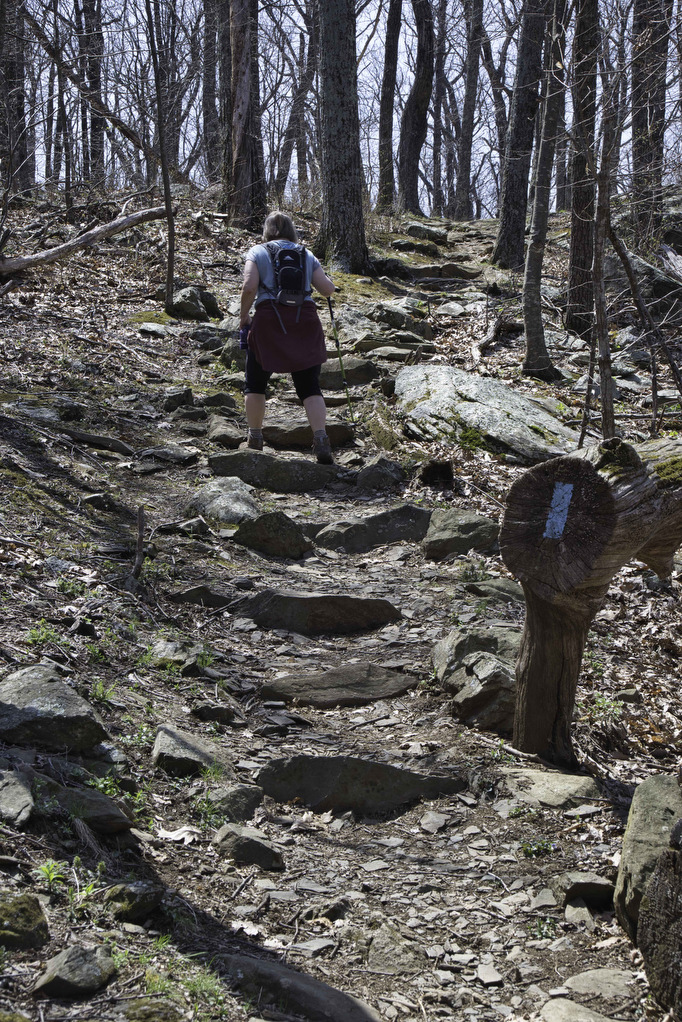
Enjoy the creek and then retrace your steps on the AT now heading south. The trail begins a steady climb up the switchbacks. Reach the junction with the Jack Albright Trail at 4.6 miles. Bear right here and follow the blue-blazed trail through more switchbacks as the trail climbs up Dobie Mountain.
At the second switchback at 5.3 miles, look on the left for wreckage of a Beechcraft plane that crashed here in the early 1960s. As you climb up Dobie Mountain, numerous large boulders dot the trail. Sections of the trail are very rocky and several stone steps help with the climb. Just under 6 miles is the summit of Dobie Mountain; however, the trees block most of the the views. The rest of the trail is a less rocky descent back to the parking area.
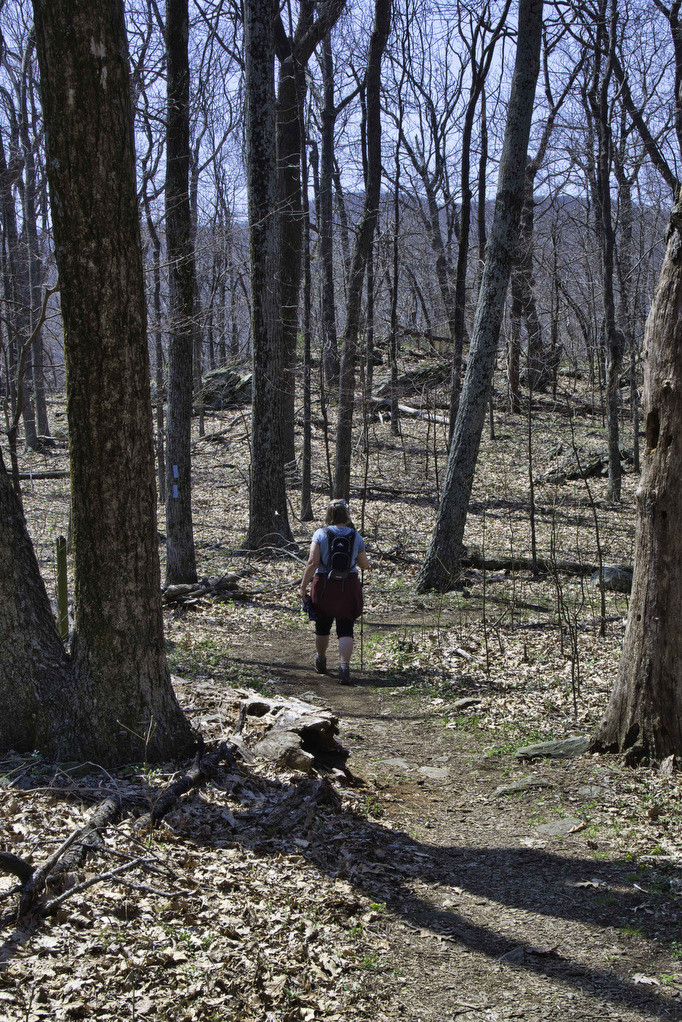
Hike Photos:
Click on an image below for an enlarged view.
Beer Pairing:
Basic City Beer Co. in nearby Waynesboro is one of our favorite Virginia breweries. They have great beer and great food. However, Pete was in the mood for a great burger and friends told us about The River Burger Bar in Waynesboro. They have indoor and outdoor seating, 8 beer taps, a full bar, and great burgers.
Kathy paid tribute to Basic City by ordering one of her favorite beers: 6th Lord IPA (5.3% ABV). This IPA is an east coast/west coast hybrid made with Citra and Falconers hops. Pete enjoyed Skyline Falls IPA (6.5% ABV) from Brother’s Brewing in Harrisonburg. This hazy IPA is brewed with El Dorado and Mosaic hops. Both beers were great and so were the burgers. Pete devoured the Western burger and Kathy mixed it up a bit by swapping chicken for beef in her Bacon Pimento burger.

Hike and drink responsibly. Never drink and drive. Stay safe, be responsible, and leave no trace.
Great write up! Thanks for the info. I look forward to trying this one out!