
- Highlights: Waterfalls, wildflowers, stream crossings, Appalachian Trail, rock formations, wildlife, views, swimming hole
- Distance: 9.8 mile loop
- Elevation change: 2,365 feet
- Difficulty level: Strenuous
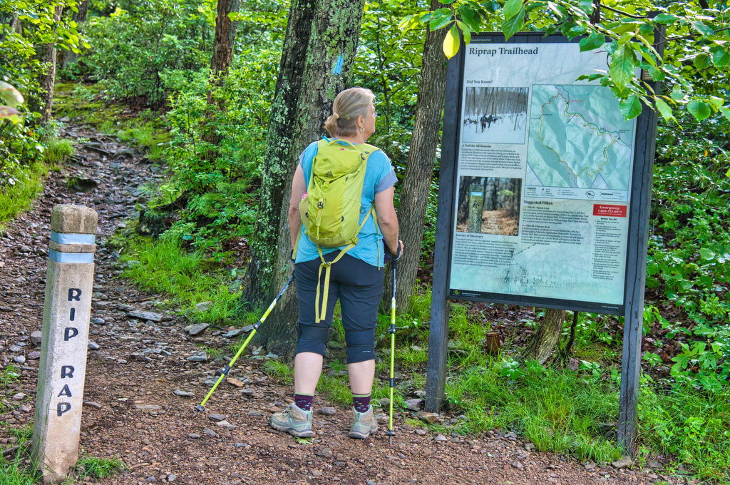
- Trailhead Parking: Riprap parking area, Skyline Drive mile 90, park fee required
- Website: Shenandoah National Park
- Beer Pairings: Basic City Brewing—Our Daily Pils & Tropicos #008 IPA
The Hike:
This hike is as good as it gets in Shenandoah National Park. It truly has something for everyone. At just under 10 miles this is a long hike but don’t let the elevation change scare you. There are some steep sections but much of the grade change is gradual. This is a loop hike so you can go in either direction, we chose to go clockwise.
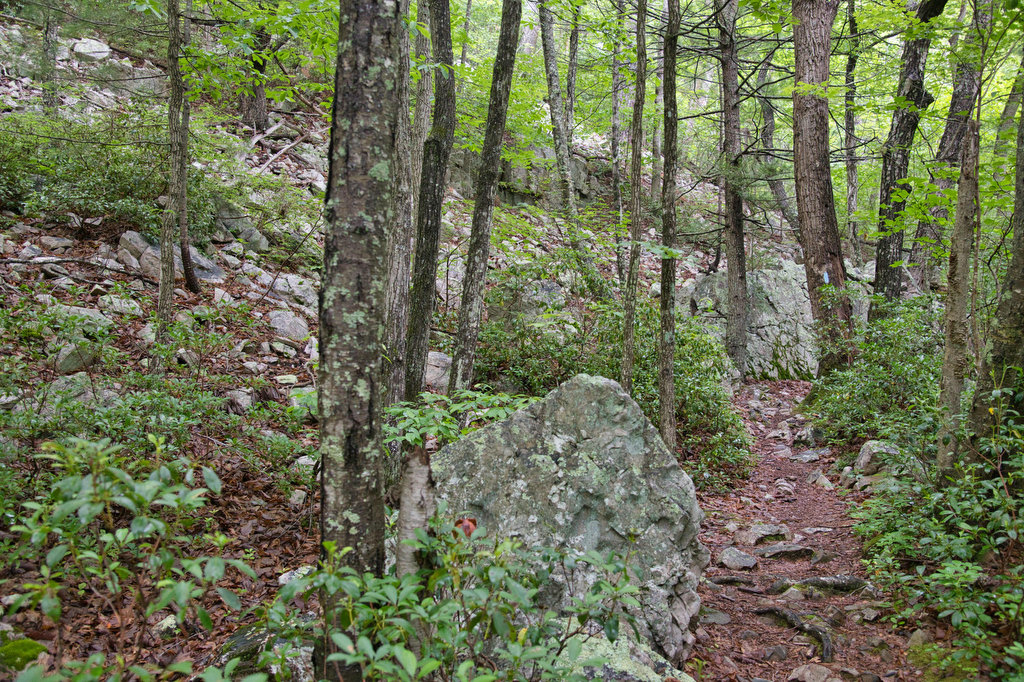
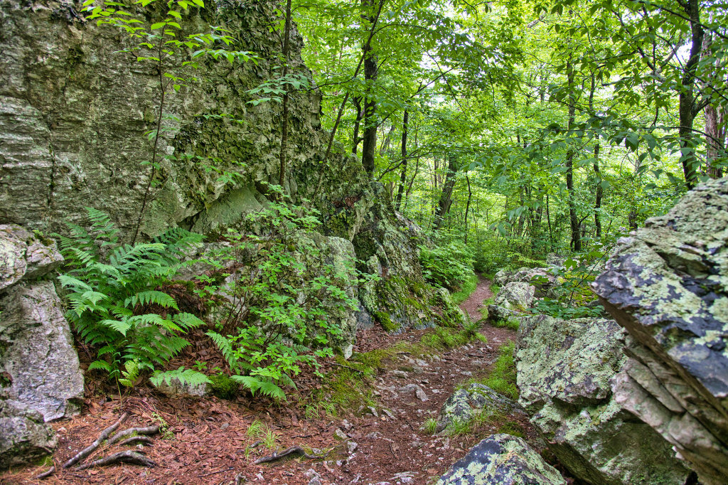
Our friend Mark is from Rappahanock County, just east of SNP. He contends the name Shenandoah means “land of many rocks”. Many of the hikes in Shenandoah are rocky. However, this hike may be the winner of the rockiest hike contest. There are rocks everywhere: in the trail, beside the trail, and in the stream. The hike also includes great views of Calvary Rocks, Chimney Rock, and (spoiler alert) Rocks Mountain.
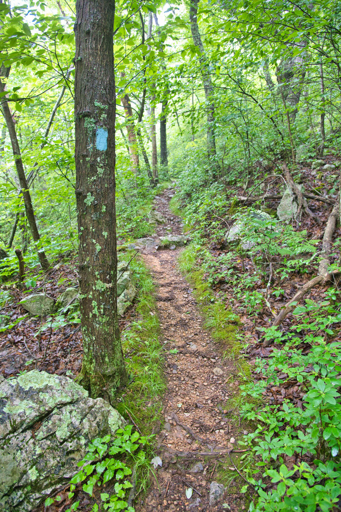
The trailhead is located at the rear of the Riprap parking area near the kiosk. This trail is well marked and well maintained. A short spur trail leads from the parking area to the white-blazed Appalachian Trail. To go clockwise on this hike, turn left here and head south on the AT. The next three trail junctions will all be right turns.
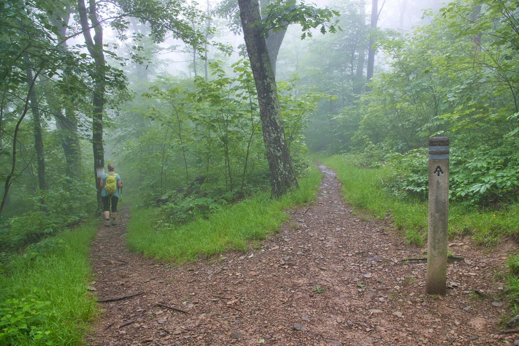
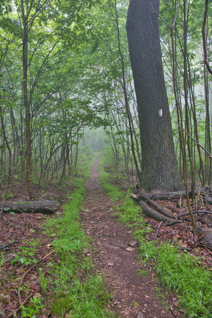
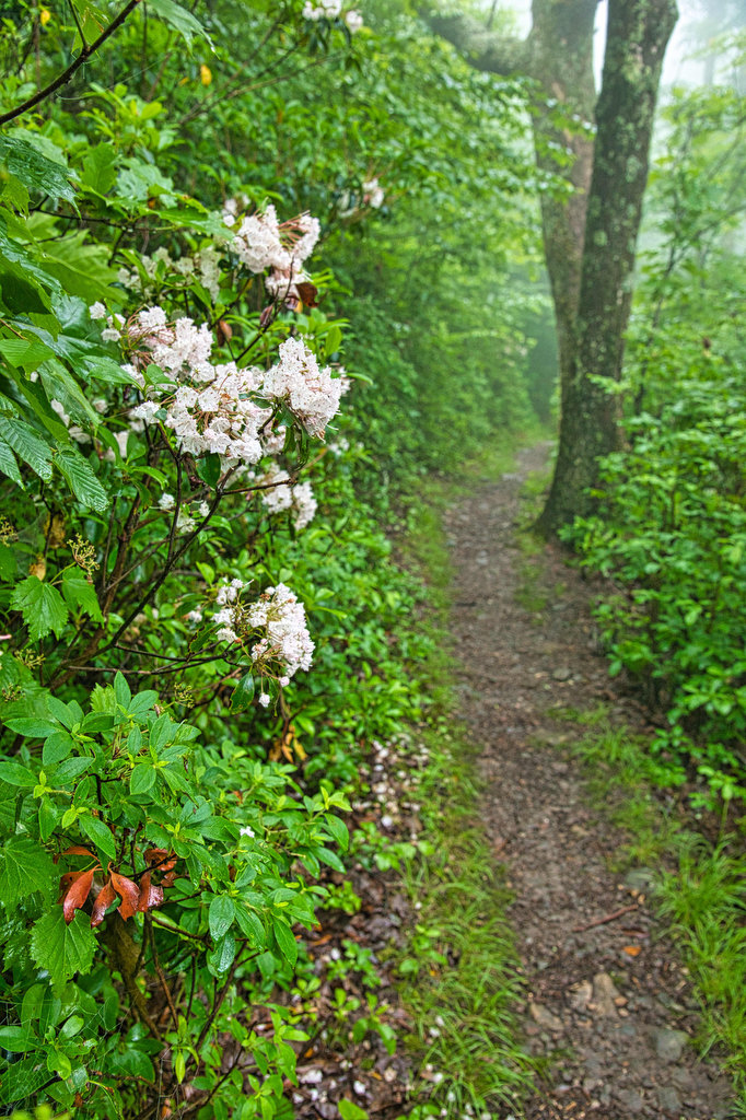
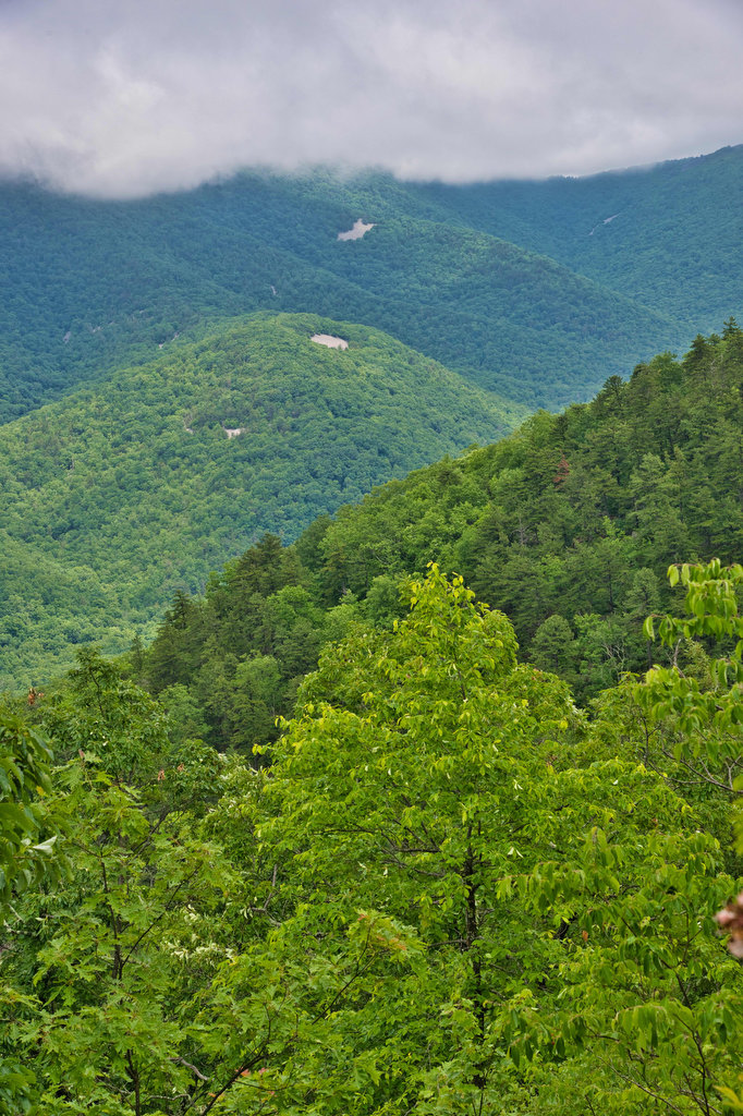
This stretch of the AT is a pleasant walk with gradual ups and downs. We spotted a deer just off the trail. We hiked in mid-June early in the morning after a heavy rain. Fog and clouds covered the tops of some of the trees. We hoped the fog and clouds would burn off when we reached the views of Calvary Rocks and Chimney Rock in a few hours.
Mountain laurel line large sections of this trail and they were still in bloom in mid-June. Reach the first trail junction with the Wildcat Ridge Trail at 2.7 miles. Take a sharp right here and follow the blue-blazed trail down into the Riprap Hollow. Note the sign about bear activity. We didn’t see bears or any signs of them on this trail. However, it is always a good idea in the SNP backcountry to make some noise so the bears hear you coming and get out of the way before you arrive.
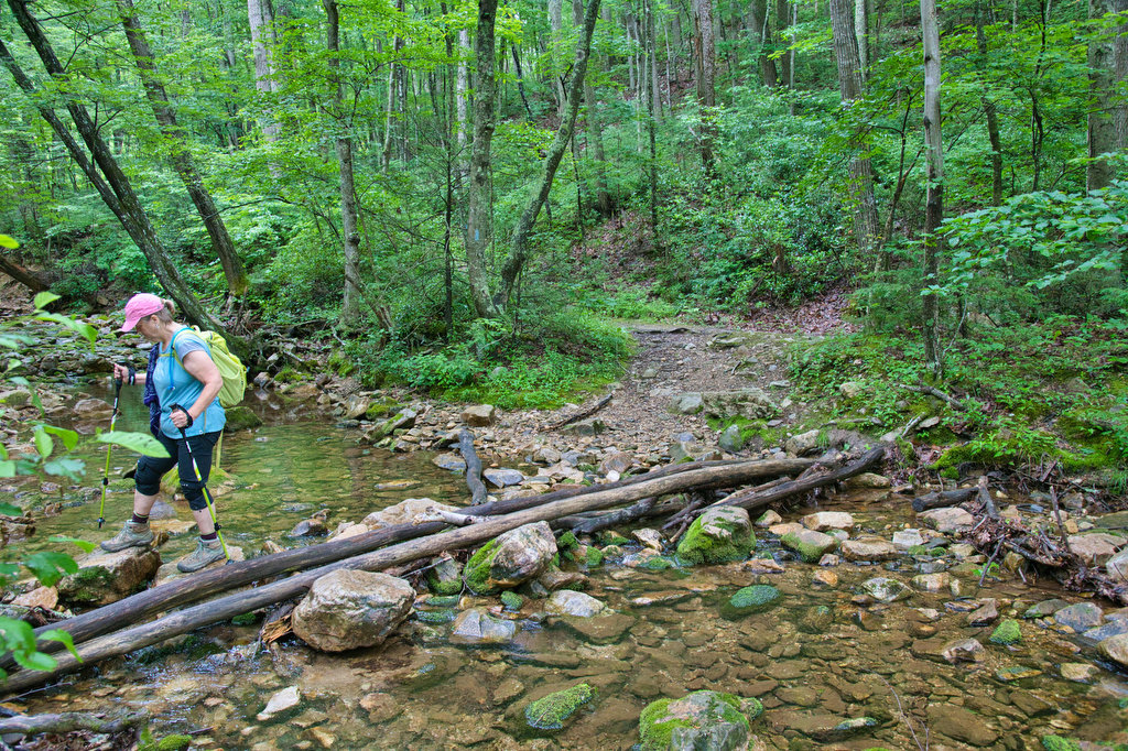
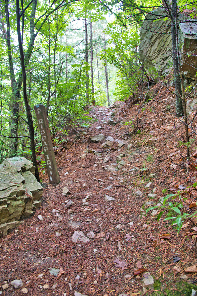
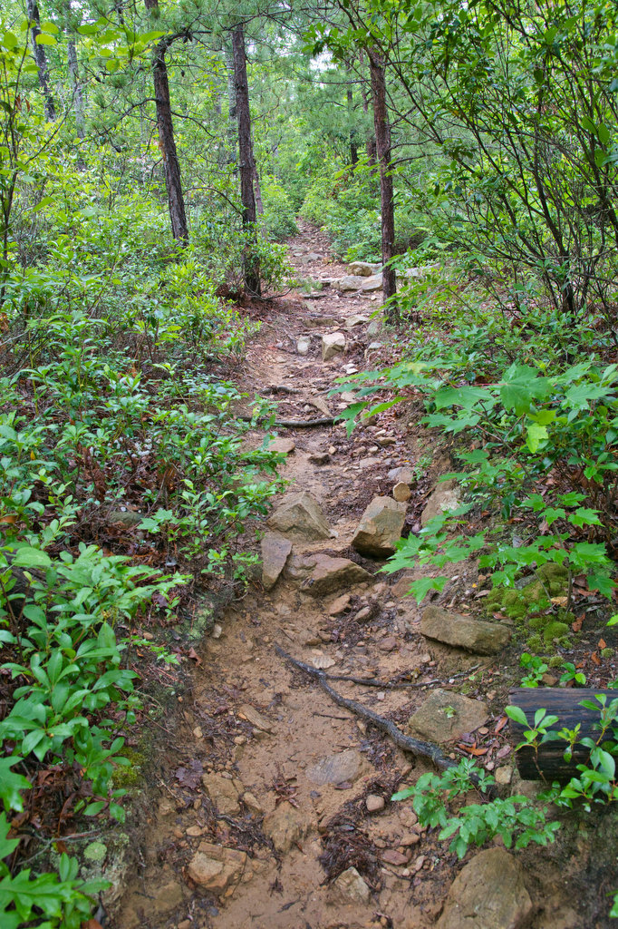
The descent is gradual and there are several stream crossings. Even with recent heavy rain, we were able to rock hop over the streams without difficulty. The rocky section on the right after the first stream crossing is the first of several talus slopes on this hike. After a steady downhill, reach the second trail junction with the Riprap Trail. Turn right here and follow the blue-blazed trail along Riprap Creek.
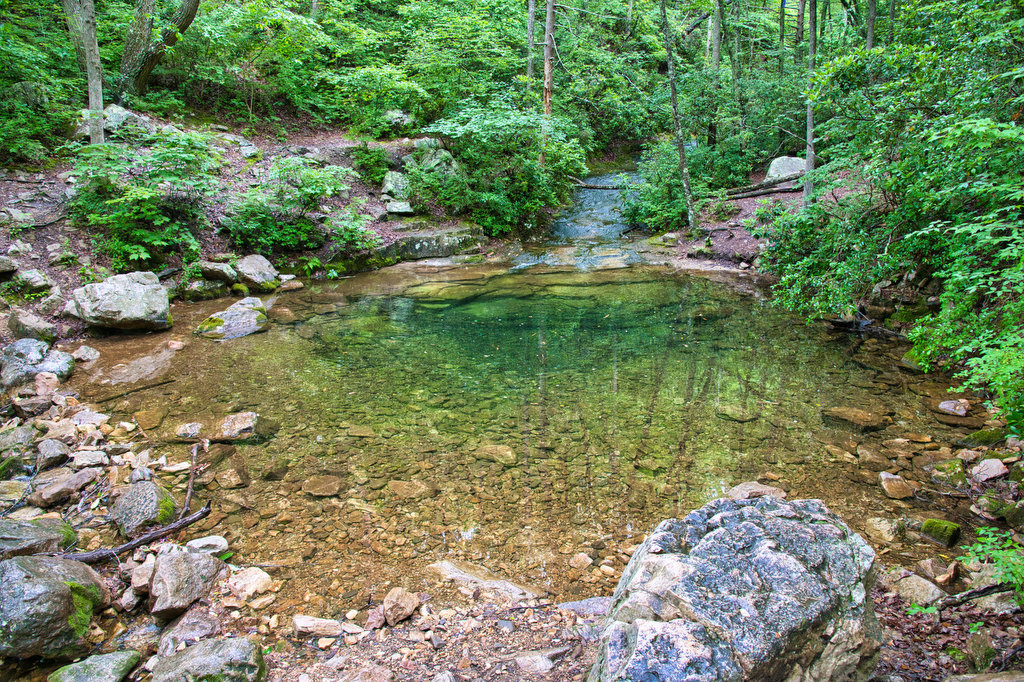
A swimming hole will be on the left in about 3/4 of a mile from the junction. The water was too cold for swimming on the early morning when we were hiking. However, on a hot summer afternoon this is a popular place.
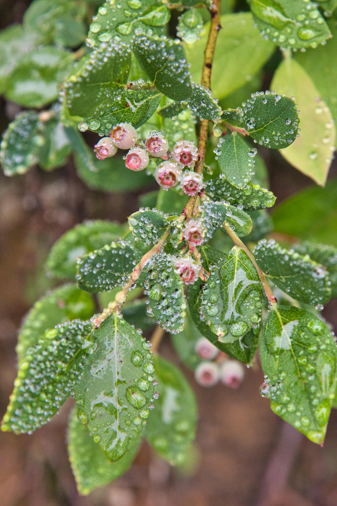
Numerous small cascades splash over rocks in Riprap Creek throughout this hike. Rhododendron line the lower sections of the trail, replacing the maintain laurel found at the higher elevations. The uphill begins in earnest after the swimming hole. Watch your step as we observed dozens of Eastern Red-Spotted Newts on this section of the trail.
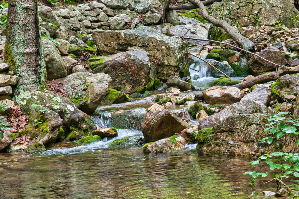
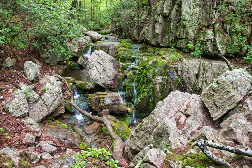
Cold Spring Hollow will be on the right just past a steep uphill section. The stream flows between a large rock outcropping on the right with numerous cascades through the small gorge. The park service doesn’t consider this to be a waterfall, but we do.
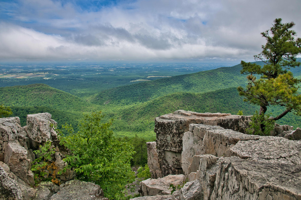
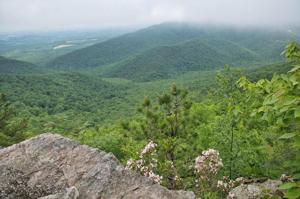
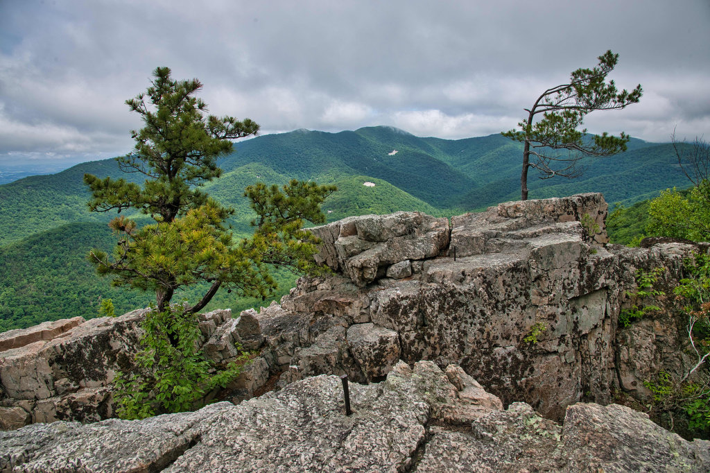
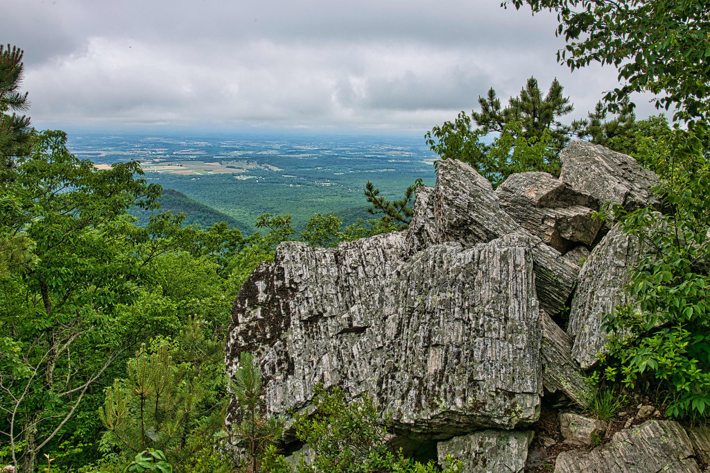
The uphill climb continues and mountain laurel and blueberry bushes line both sides of the trail. Several viewpoints appear on the left and then reach Chimney Rock. A short spur trail on the left leads to great views of the Shenandoah Valley. Trayfoot Mountain looms to the right. Gray talus slopes dot the mountain sides across the valley.
Continue on the Riprap Trail and Calvary Rocks will soon be on the right. The large rock outcroppings are part of Rocks Mountain. Remember, Shenandoah is the “land of many rocks”. Geologists tell us these boulders are Erwin quartzite.
Continue on the Riprap Trail to yet another great viewpoint on the left. After one more uphill stretch, reach the junction with the AT. Turn right here following the white-blazed AT heading south. In less than .5 miles, reach the cement trail post marking the Riprap parking area and your vehicle. Enjoy a beer. You earned it!
Hike Photos:
Click on an image below for an enlarged view.
Swimming Hole 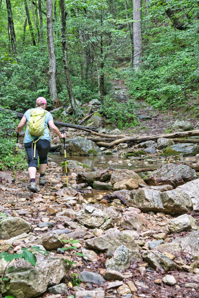
Cold Spring Hollow 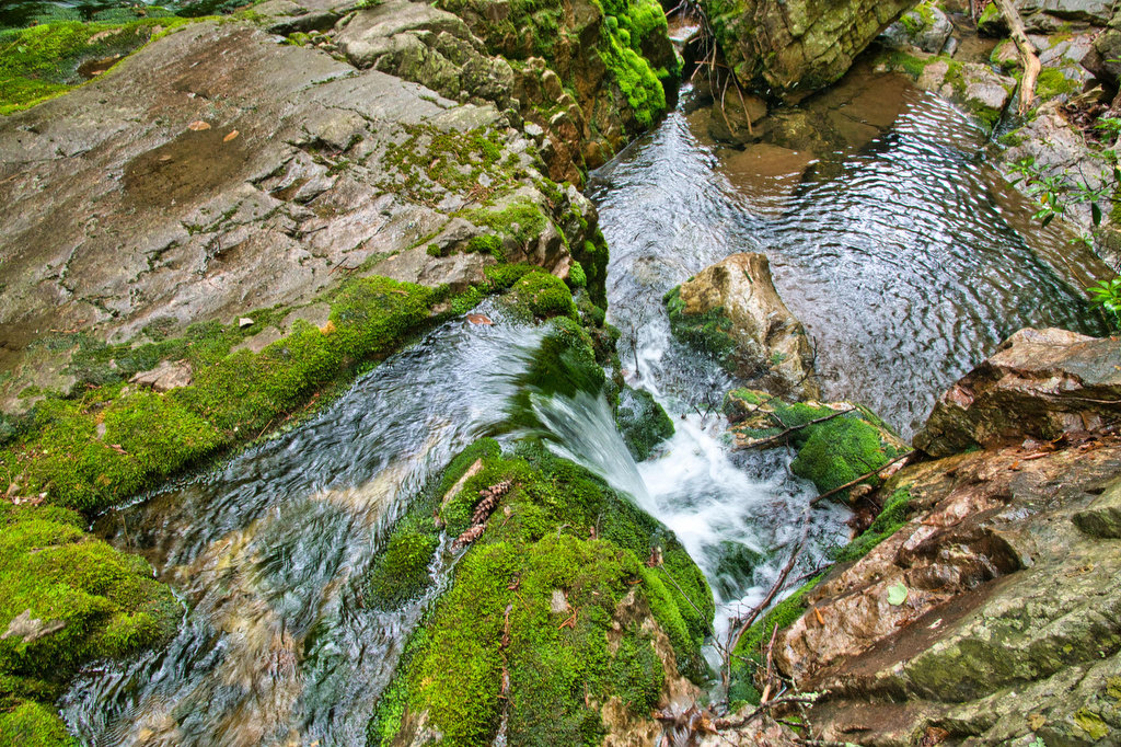
Cold Spring Hollow 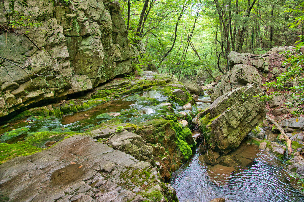
Cold Spring Hollow 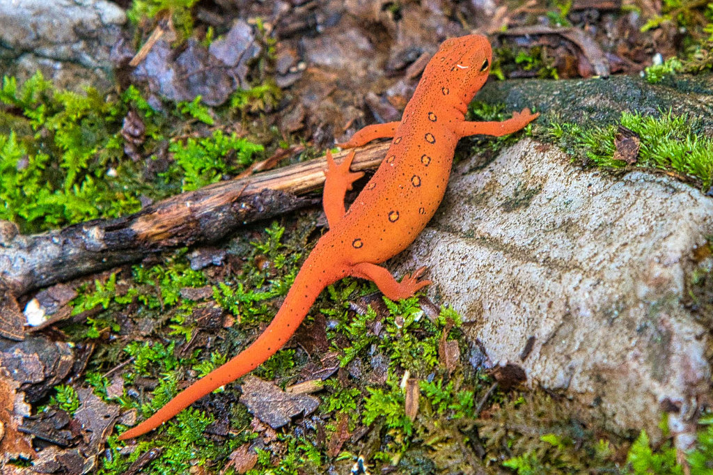
Chimney Rock 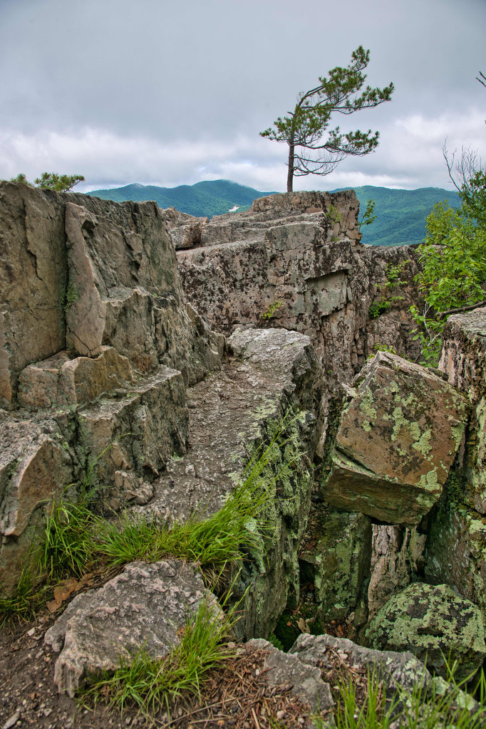
Chimney Rock 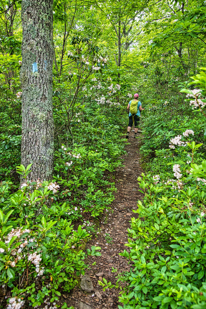
Calvary Rocks 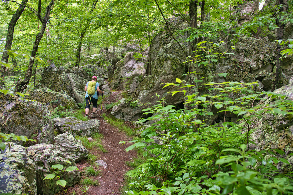
Calvary Rocks
Beer Pairing:
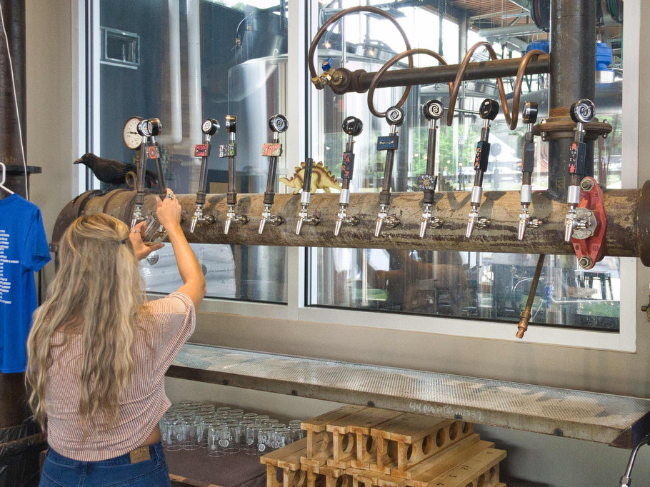
We have been big fans of Basic City Brewing for several years. They brew a specialty line of beers for Shenandoah National Park which we have enjoyed on several other hikes in this blog. This time we wanted to visit their nearby Waynesboro brewery. They also have a taproom in Richmond.
The Waynesboro location has indoor and outdoor seating, live music, and a variety of food options from Billy Pie Pizza, Gringos’s Tacos, and Fancy-Full sandwiches. They have additional food options including cider, wine, and cocktails at The Showroom, their on-site old-world tavern.
Pete really likes Our Daily Pils, a classic German Pilsner made with German malts and Noble hops. It is light, crisp, and refreshing. Kathy really liked Tropikos 008, a New England-style IPA made with Strata hops and Sundew yeast. The brewers at Basic City use the Tropikos series to experiment with limited production, small-batch IPAs.

Hike and drink responsibly. Never drink and drive. Stay safe and be responsible.