
- Highlights: President Hoover’s fishing camp, waterfalls, Appalachian Trail
- Distance: 7.4 mile loop
- Elevation change: 1,300 feet
- Difficulty level: Moderate/Strenuous
- Trailhead Parking: Milam Gap parking area, Skyline Drive mile post 52.8
- Website: Shenandoah National Park
- Beer Pairings: Basic City Brewing—Big Meadows IPA & Bearfence DIPA
The Hike:
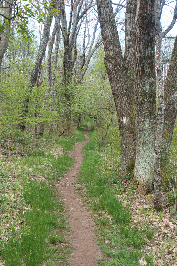
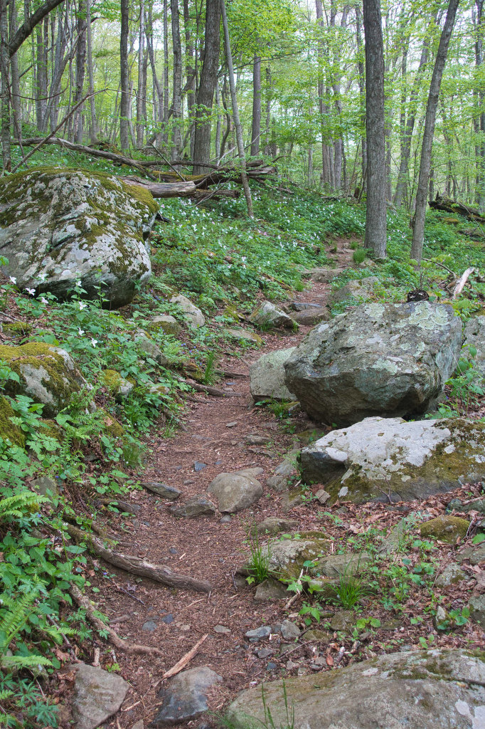
This hike has a lot to like: history, scenery, wildlife, waterfalls, the AT, and the 3rd highest summit in SNP. The trails are well marked and well maintained. From the parking area, cross Skyline Drive and immediately turn right on the white-blazed Appalachian Trails (AT). This section of the AT is a great walk through the woods.
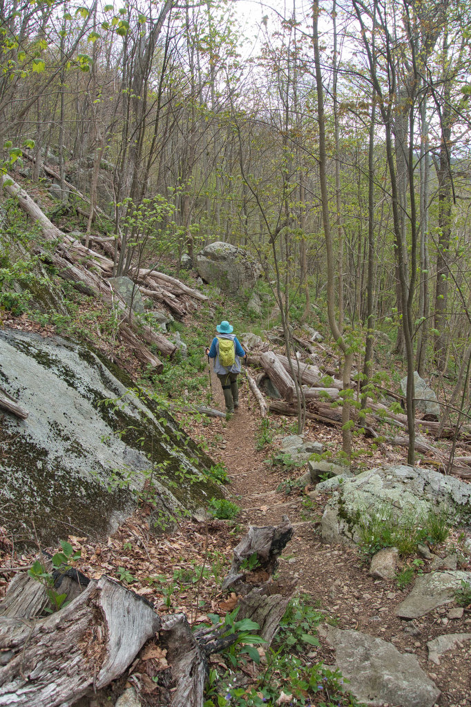
Follow the AT south as it gradually ascends to the summit of Hazeltop Mountain at 2 miles. The peak of Hazeltop (3,812) has some partial views between the trees. The AT begins a gentle descent and at 2.4 miles reach a junction with the Laurel Prong Trail. Turn left here and follow the blue-blazed Laurel Prong as is descends, sharply at times, over rocky terrain.
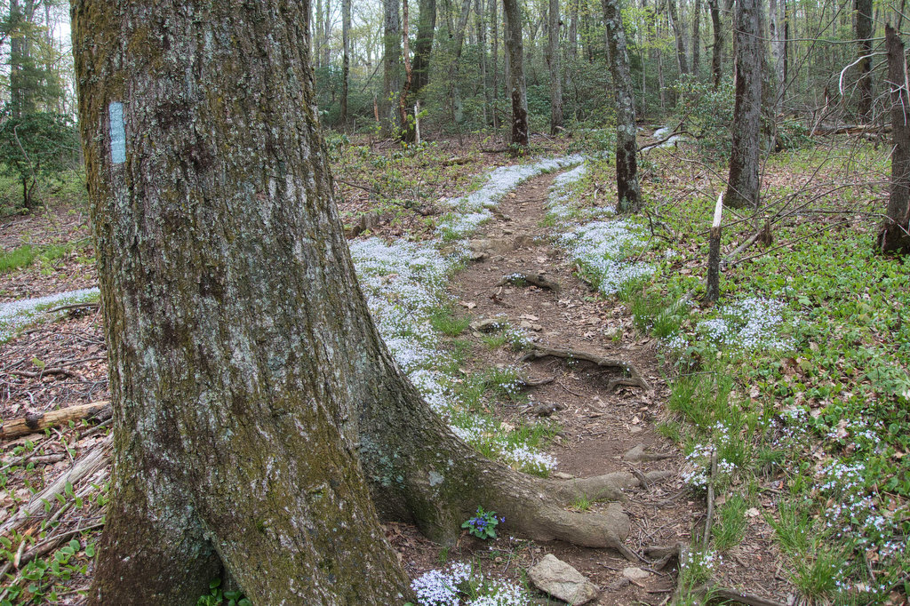
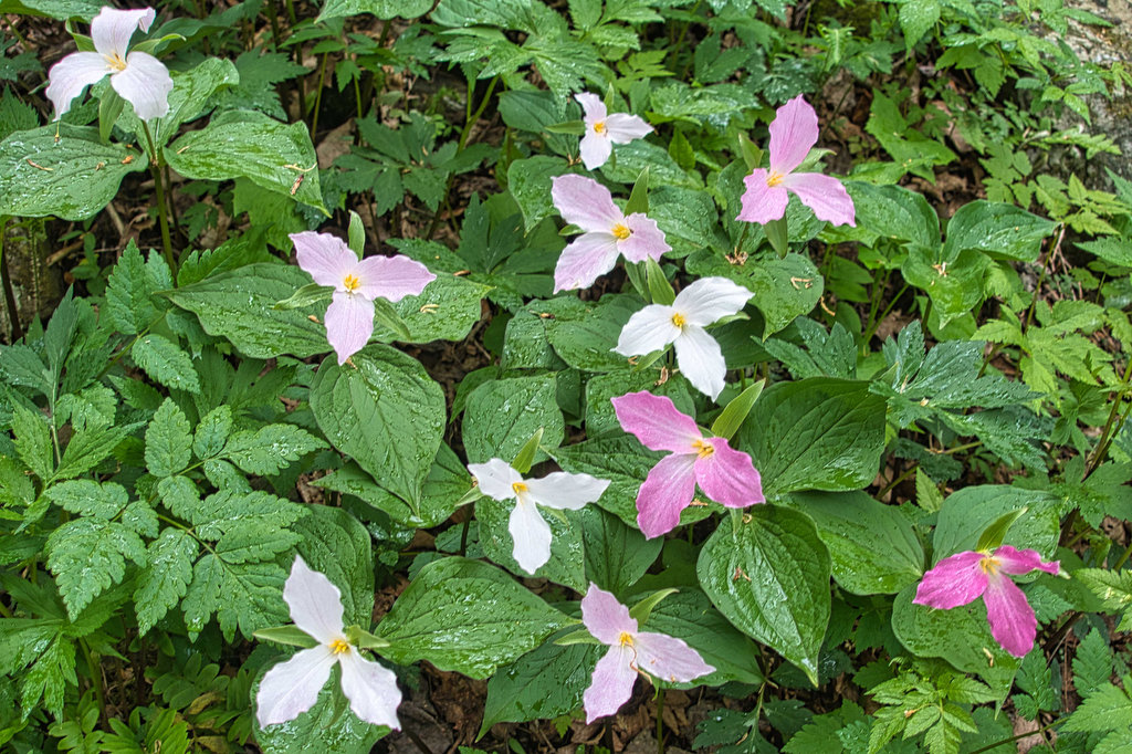
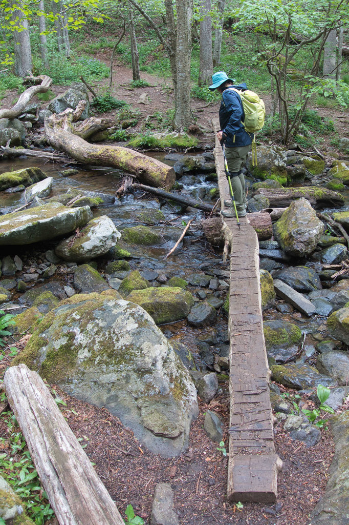
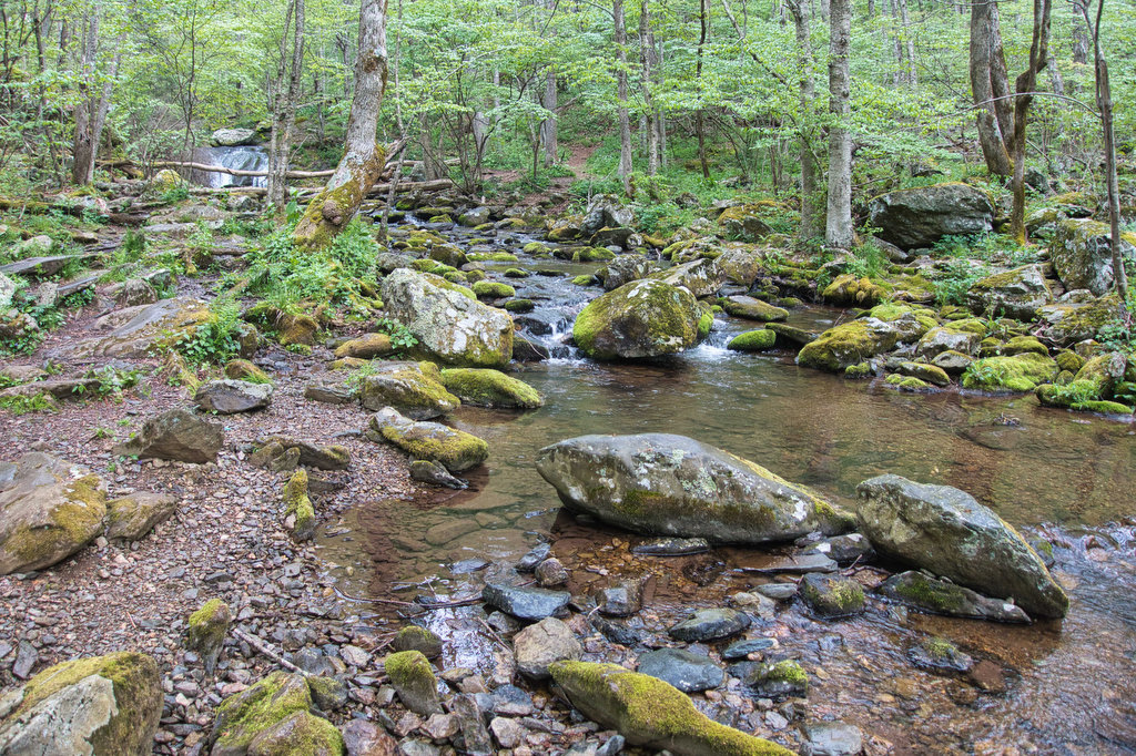
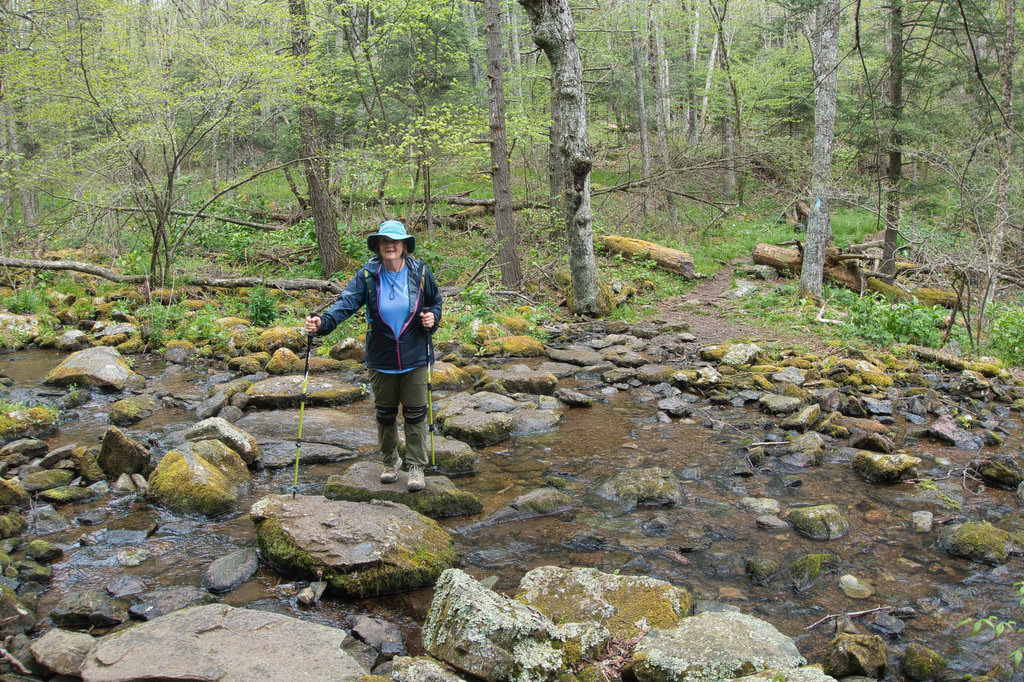
At 3.4 miles is another trail junction with a cement post. Turn left here to remain on the Laurel Prong Trail as the descent becomes more gradual. The forest canopy thins out and wildflowers and grasses line the trail. Thick sections of mountain laurel give this trail its name. Rock-hop across several stream crossings.
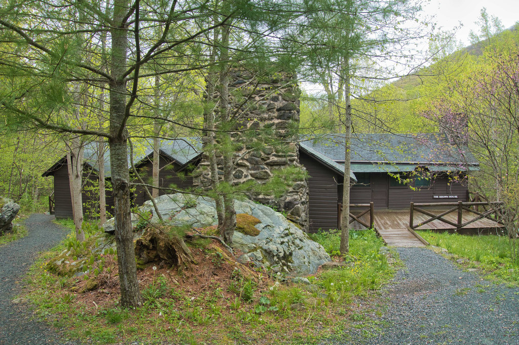
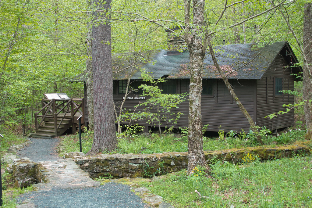
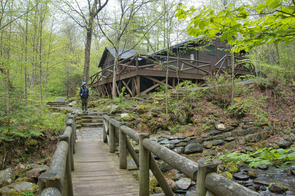
The Fork Mountain multi-use trail merges in from the right at 4.7 miles and the blaze color changes to yellow as horses may use this part of the Laurel Prong Trail. Arrive at Rapidan Camp at 5.3 miles. The Mill Prong and Laurel Prong Creeks converge here forming the Rapidan River. Take time to explore this site of the first presidential retreat. During the season, park staff conduct tours of the preserved buildings.
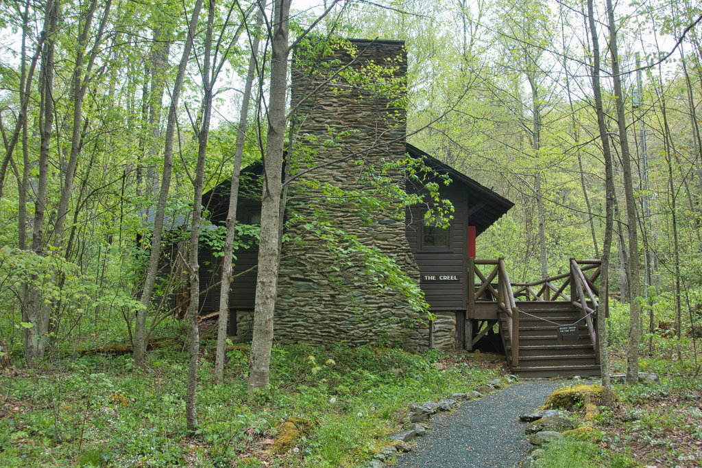
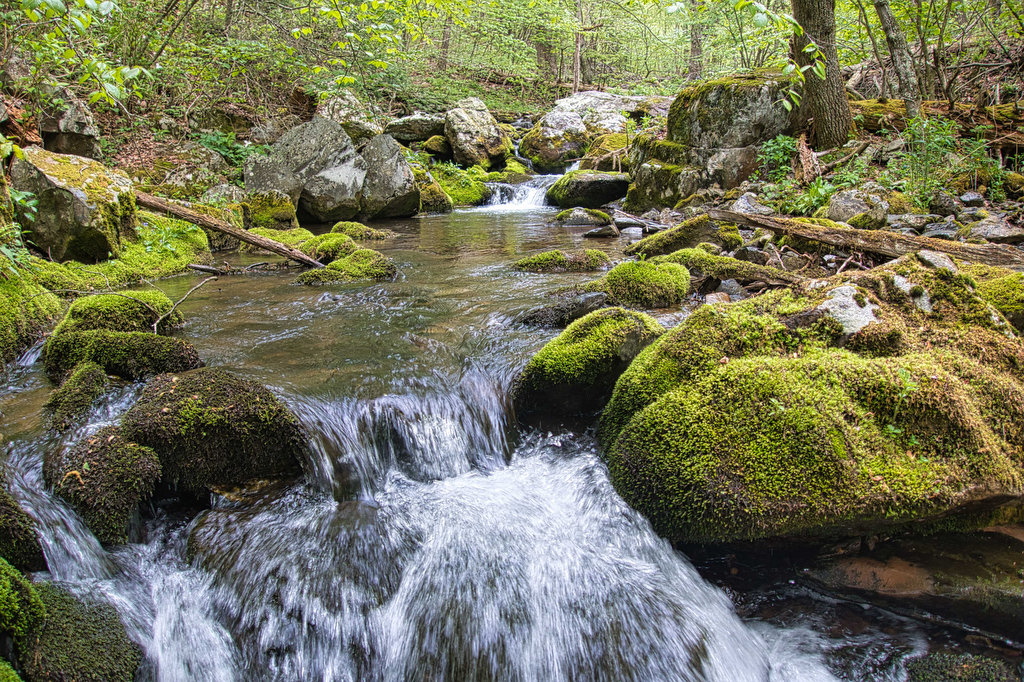
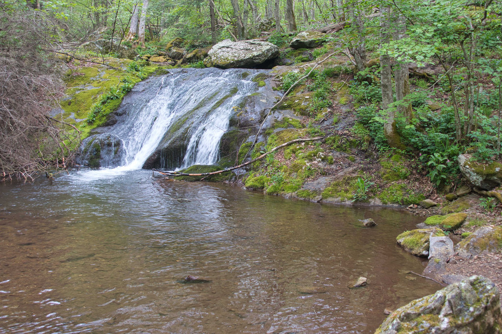
Continue the loop on the yellow-blazed Mill Prong Trail near Creel Cabin. The trail climbs over the last 2 miles gaining over 700’ in elevation. Wildflowers cover the forest floor. At 5.7 miles the trail crosses over Mill Prong Creek on a rustic log bridge. Big Rock Falls, a 15’ cascade with a large pool is just ahead on the left.
The horse trail departs to the right at 6.1 miles, stay left on the now blue-blazed Mill Prong Trail. The path crosses the creek one more time and reaches Skyline Drive and your vehicle.
Hike Photos:
Click on an image below for an enlarged view.

Beer Pairing:
Just a few miles north on Skyline Drive is a great location for a post-hike beer. You can even hike there on the AT if you are so inclined. The New Market Taproom at Big Meadows Lodge has indoor and outdoor seating. They have a very nice selection of craft beer and they serve food. They also have some great views from the outdoor patio. It’s a perfect spot to relax after a hike with a cold beer.
Basic City Brewery in Waynesboro (and Richmond) has been one of our favorites for many years. They make several specialty beers for Shenandoah National Park including Big Meadows IPA & Bearfence DIPA. Both beers came in cans; however, the taproom does have a nice selection of craft beers on draft. Big Meadows IPA was nicely hopped and Bearfence had an extra boost of hops and alcohol.


Hike and drink responsibly. Never drink and drive. Stay safe and be responsible.