Mountains

Kennedy Peak

Highlights: Great views, Massanutten Mountain Trail Distance: 5.2 miles out and back Elevation Change 791 feet Trail Surface: Dirt with rocky sections Difficulty Level: Moderate (distance, elevation gain, rocky sections) Trailhead Parking: Edith’s Gap, state route 675; search Google maps for “Edith’s Gap launch area” Website: AllTrails Beer Pairings: Swover Creek Farm Brewery—Nut Brown Ale […]

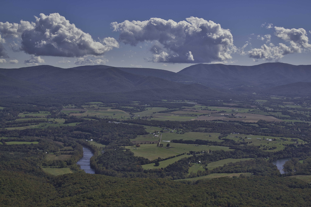
Kennedy Peak Read More »

Humpback Mountain & Humpback Rocks

Highlights: Great views, Appalachian Trail Distance: 10.2 miles out and back Elevation Change 2,112 feet Trail Surface: Dirt with rocky sections Difficulty Level: Strenuous (distance, elevation gain, rocky sections) Trailhead Parking: Humpback Rocks Picnic Area parking area, Blue Ridge Parkway MP 8.5 Website: National Park Service and AllTrails Beer Pairings: Blue Mountain Brewery—Bumper Crop IPA

Humpback Mountain & Humpback Rocks Read More »

Browns Gap to Blackrock Summit

Highlights: Great views, Appalachian Trail Distance: 5.4 miles out and back Elevation Change 646 feet Trail Surface: Dirt with rocky sections Difficulty Level: Moderate (distance, rocky sections) Trailhead Parking: Brown’s Gap parking area, Skyline Drive MP 83 Website: AllTrails and Shenandoah National Park Beer Pairings: Champion Brewing Ice House—Hatchback Lyfe IPA & Festbier The Hike:

Browns Gap to Blackrock Summit Read More »

Dripping Rock to Cedar Cliffs AT

Highlights: Great views, Appalachian Trail Distance: 2.3 miles out and back Elevation Change: 245 feet Trail Surface: Dirt with rocky sections Difficulty Level: Easy (rocky sections) Trailhead Parking: Dripping Rock, Blue Ridge Parkway MP 9.6 Website: AllTrails https://www.alltrails.com/explore/trail/us/virginia/dripping-rock-south-via-appalachian-trail Beer Pairings: Stable Craft Brewing—Shenny Doah Pilsner & Robot Cowboy Hazy IPA The Hike: This short hike

Dripping Rock to Cedar Cliffs AT Read More »

Reeds Gap to Dripping Rock AT

Highlights: Great views, Cedar Cliffs, Appalachian Trail Distance: 9.6 miles out and back Elevation Change: 831 feet Trail Surface: Dirt with rocky sections Difficulty Level: Moderate/strenuous (distance, rocky sections) Trailhead Parking: Reeds Gap, Blue Ridge Parkway MP 13.7 Website: Virginia Trail Guide Beer Pairings: Skipping Rock Beer Co.—Roasted Pecan Brown Ale & Bru-1 IPA The

Reeds Gap to Dripping Rock AT Read More »

Fløyen

Highlights: Awesome views Distance: 3.6 miles out and back Elevation Change: 1,010 feet Trail Surface: paved and dirt sections Difficulty Level: Moderate/strenuous (elevation) Trailhead Parking: Fløibanen funicular station, Vetrlidsalmenning 23 A, 5014 Bergen, Norway Website: AllTrails Beer Pairings: Brian Boru Irish Pub—Guinness Stout & Citralicious IPA The Hike: This hike is for our international friends. We

Fløyen Read More »

Rice Fields AT Shelter

Highlights: Mountain meadow, AT shelter, great views Distance: 5.2 miles out and back Elevation Change: 1,259 feet Trail Surface: Rocky Difficulty Level: Moderate (rocky surface, elevation gain) Trailhead Parking: From Blacksburg US 460 west, turn left on Route 641, in 1.5 miles turn left on to Pocahontas Road. In 150 yards reach the AT crossing

Rice Fields AT Shelter Read More »

Cascade Falls to Barney’s Wall

Highlights: Waterfalls, Little Stony Creek Gorge, Barney’s Wall Cliff Views Distance: 8.8 miles loop Elevation Change: 1,650 feet Trail Surface: Rocky Difficulty Level: Strenuous (rocky surface, elevation gain) Trailhead Parking: Cascades Day Use Parking Area, route 623 in Pembroke VA; $3 parking fee required Website: AllTrails and Hiking Upward Beer Pairings: Moon Hollow Brewing Co.—Lunatic

Cascade Falls to Barney’s Wall Read More »

Angel’s Rest

Highlights: Appalachian Trail, 2 great views Distance: 5.0 miles out and back Elevation Change: 1,840 feet Trail Surface: Rocky Difficulty Level: Moderate/strenuous (rocky surface, elevation gain) Trailhead Parking: AT Trailhead, Cross Avenue, route 793 Pearisburg VA. From Blacksburg take US 460 west to route 100 south, right on Johnston Ave., first right on route 793,

Angel’s Rest Read More »

Mary’s Rock AT North

Highlights: Appalachian Trail, amazing views, mountain laurel in June Distance: 3.7 miles out and back Elevation Change: 1,210 feet Trail Surface: Very rocky Difficulty Level: Moderate (rocky surface, elevation gain) Trailhead Parking: Panorama parking area, Skyline Drive MP 31.5; park entrance fee required Website: Shenandoah National Park and AllTrails Beer Pairings: Hawksbill Brewery—Hooray for Luray

Mary’s Rock AT North Read More »