National Forest

Max Patch Revisited

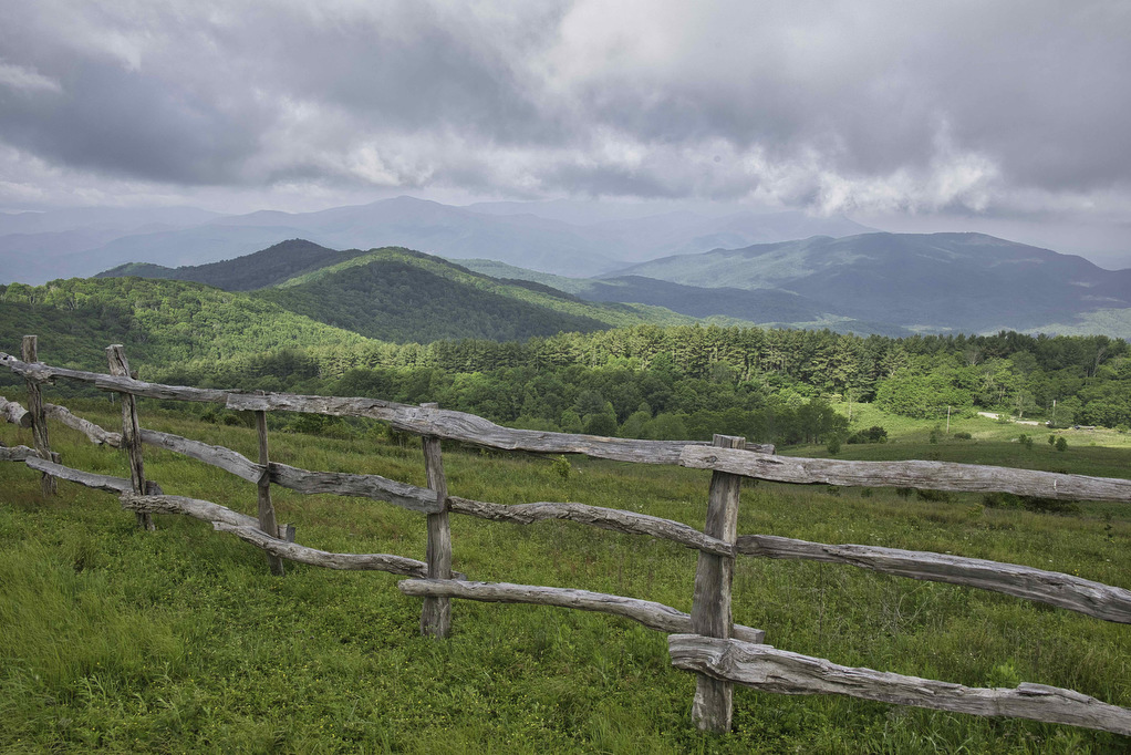
Trail Map: The Hike: We first visited Max Patch on a rainy day in 2020 and clouds and fog hid most of the views. On our 2023 western NC hiking trip, we decided to revisit Max Patch. The weather cooperated and we were treated to the outstanding views of which Max Patch is famous. Max […]

Max Patch Revisited Read More »

Big Hump & Little Hump Balds

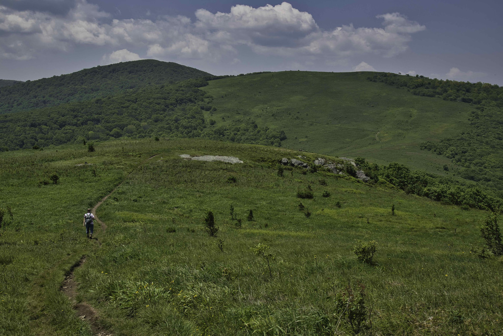
Trail Map: The Hike: This Appalachian Trail section hike reaches two bald summits—Little Hump and Big Hump. The road to the trailhead is gravel/dirt for the last two miles or so. There are some deep ruts and washed-out areas. Our AWD Subaru had no problem. The parking area is on the left, a gate blocks

Big Hump & Little Hump Balds Read More »

Big Firescald Knob

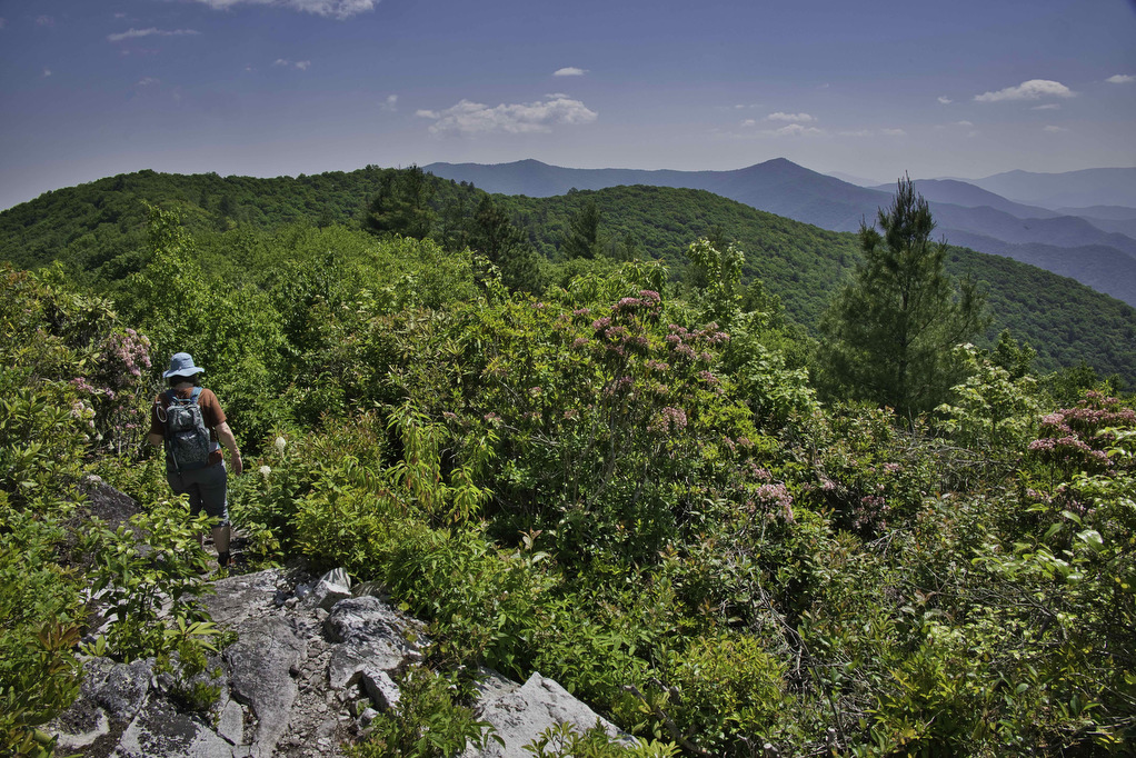
Trail Map: The Hike: This section hike on the Appalachian Trail straddles the North Carolina/Tennessee state line. The open ridge provides spectacular views of both states. The road to the trailhead is paved for a few miles and then turns to gravel/dirt. We had no problems with our AWD Subaru and it should be passable

Big Firescald Knob Read More »

Beauty Spot

Trail Map: The Hike: Beauty Spot is a popular local destination. The Appalachian Trail passes through this bald summit. However, most visitors drive here over a bumpy dirt road. The day of our hike, the weather wasn’t cooperating. The forecast called for clouds and scattered showers much of the day. We waited for the heavy

Beauty Spot Read More »

Appalachian Trail to Fulhardt Knob Shelter

Trail Map: The Hike: Thru-hikers call the Appalachian Trail “the long green tunnel”. For most of its 2,198 miles, the AT passes through forests beneath heavy tree cover. This hike has a small section of open meadow with some nice mountain views. There are a few partial views during the rest of the hike under

Appalachian Trail to Fulhardt Knob Shelter Read More »

Hanging Rock Overlook

Trail Map: The Hike: This easy hike has some fantastic views. Located in the Shawvers Run Wildness in Jefferson National Forest, this hike is a hidden gem. It’s popular with locals but not well known to most hikers. Part of the reason could be the 3-mile drive on the forest road leading to the trailhead. 

Hanging Rock Overlook Read More »

Settler’s Museum to Glade Mountain

Trail Map: The Hike: This Appalachian Trail section hike doesn’t show up on AllTrails or most hiking websites. It’s a shame as this hike has views of the Great Valley, an AT shelter, several stream crossings, and what may be the longest rhododendron tunnel on the AT. The trailhead is located at an open air

Settler’s Museum to Glade Mountain Read More »