North Carolina

Beauty Spot

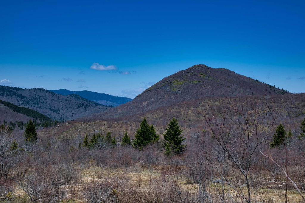
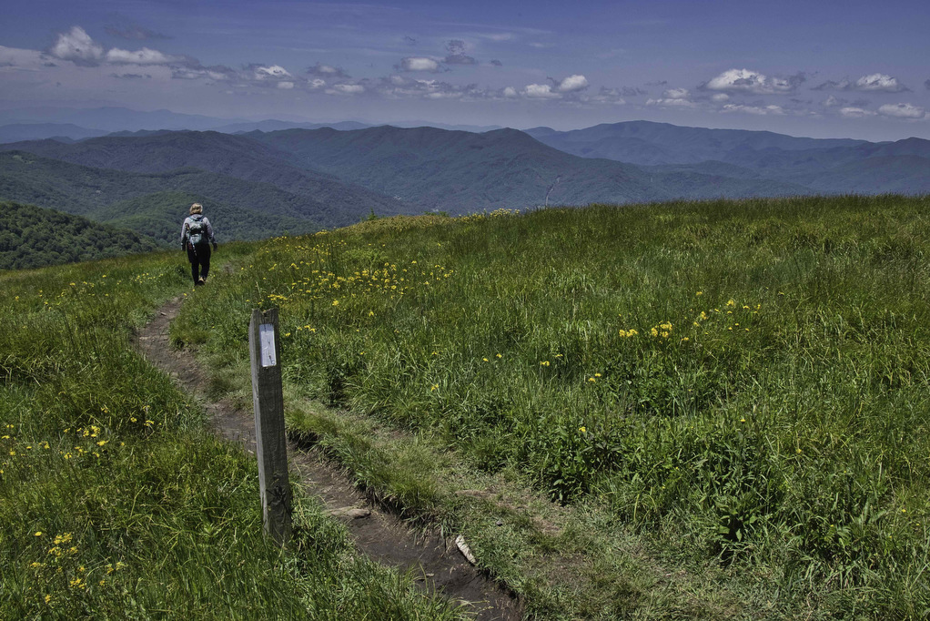
Trail Map: The Hike: Beauty Spot is a popular local destination. The Appalachian Trail passes through this bald summit. However, most visitors drive here over a bumpy dirt road. The day of our hike, the weather wasn’t cooperating. The forecast called for clouds and scattered showers much of the day. We waited for the heavy
Beauty Spot Read More »

Charlies Bunion

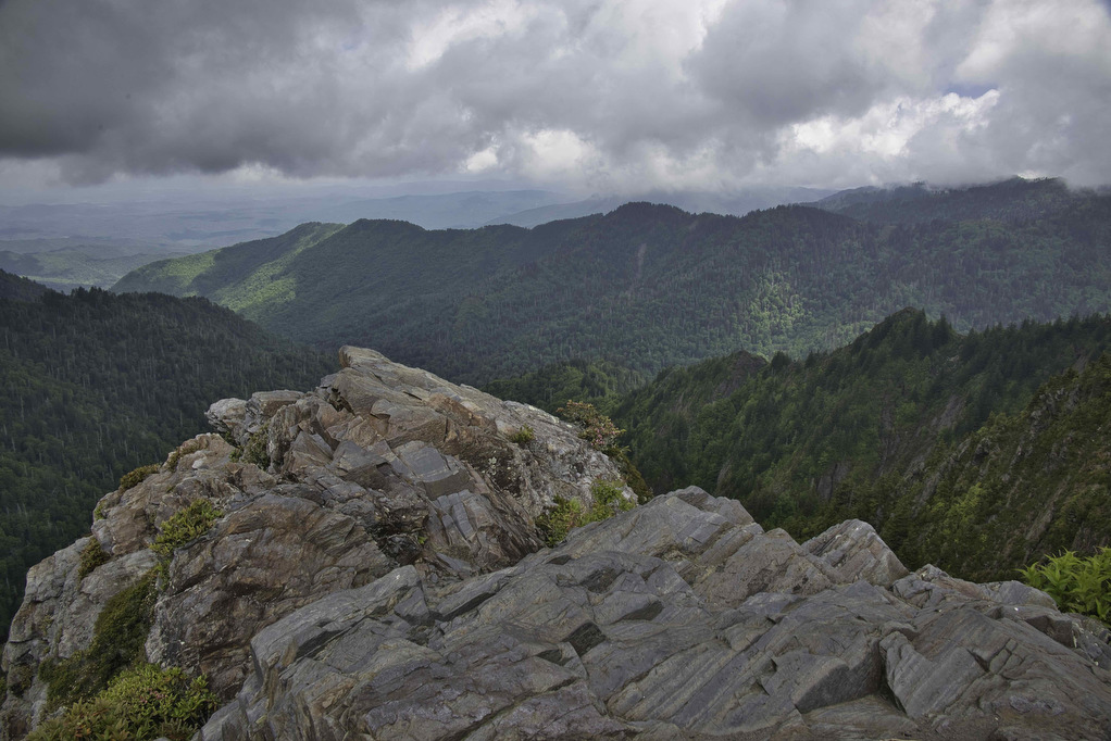
Trail Map: The Hike: This hike is said to have some of the best views in Great Smoky Mountains NP. We certainly understand why it is so popular. This eight-mile round trip hike on the Appalachian Trail has an option one mile extension on the Jump Off Trail with even more amazing views. Dogs are

Charlies Bunion Read More »

John Rock Loop

Highlights: Sweeping vistas from granite summit, wildflowers Distance: 5.6 mile out-and-back Elevation change: 1,100 feet Difficulty level: Moderate/Strenuous Trailhead Parking: From US 276 turn onto FS Road 475, turn left at the Pisgah Center for Wildlife Education; trail head at end of parking lot on the left. Website: US Forest Service Beer Pairings: Ecusta Brewing

John Rock Loop Read More »

Looking Glass Rock

Highlights: Great views, granite summit, wildflowers Distance: 6.2 mile out-and-back Elevation change: 1,700 feet Difficulty level: Strenuous Trailhead Parking: From US 276 turn onto FS Road 475, signed for the Pisgah Center for Wildlife Education; trailhead parking is 1/2 mile on the right. Website: US Forest Service Beer Pairings: Oskar Blues Brewery—Can-O-Bliss Resinous IPA &

Looking Glass Rock Read More »

Sam Knob Loop

Highlights: Great views, rocky summit, stream crossings, wildflowers Distance: 3.9 mile loop Elevation change: 730 feet Difficulty level: Moderate Trailhead Parking: Blue Ridge Parkway mile 420, turn right on Black Balsam Road/Forest Road 816 and drive to the parking area at the end  Website: AllTrails Beer Pairings: Brevard Brewing—Nitro Stout & Juicy IPA The Hike:

Sam Knob Loop Read More »

Whiteside Mountain

Highlights: Great views, rock cliffs, wildflowers Distance: 2 mile loop Elevation change: 550 feet Difficulty level: Easy/Moderate Trailhead Parking: State Route 1680 between Highlands and Cashiers, fee required  Website: US Forest Service Beer Pairings: Highland Brewing—Gaelic Ale & Daycation IPA The Hike: This short hike has some great mountain views, geology, and history. From the

Whiteside Mountain Read More »

Huckleberry Knob & Hooper Bald

Highlights: Bald mountains, wildflowers, great views Distance: 3.2 miles out and back Elevation change: 500 feet Difficulty level: Easy Trailhead Parking: Cherohala Skyway mile post 8, Huckleberry Knob parking is on the right (westbound) and Hooper Bald parking is on the left a bit further west  Website: US Forest Service Beer Pairings: Nantahala Brewing—28779 Pale

Huckleberry Knob & Hooper Bald Read More »

Joyce Kilmer Memorial Forest

Highlights: Old growth forest, wildflowers, wildlife Distance: 2 mile loop Elevation change: 370 feet Difficulty level: Easy Trailhead Parking: Joyce Kilmer Memorial Forest, Joyce Kilmer Road Website: US Forest Service Beer Pairings: Mountain Layers Brewery—Dragon Tamer IPA & Fontana Hoppiness The Hike: Many of the forests in western North Carolina were clearcut in the late

Joyce Kilmer Memorial Forest Read More »

Andrews Bald & Clingman’s Dome

Highlights: Great Smoky Mountains National Park, bald summits, great views, wildlife Distance: 4.8 miles, out and back Elevation change: 1,490 feet Difficulty level: Moderate/Difficult Trailhead Parking: Clingman’s Dome Visitor Center parking area, Great Smoky Mountains National Park Website: Great Smoky Mountains National Park Beer Pairings: Boojum Brewery—Graveyard Fields porter and Gem & Juice IPA The

Andrews Bald & Clingman’s Dome Read More »