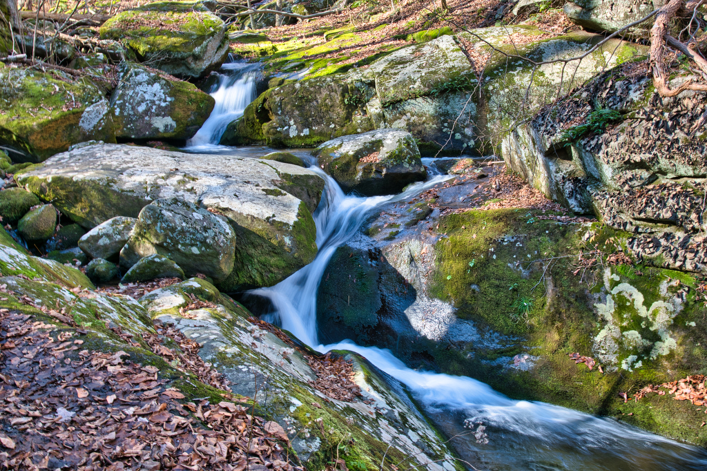
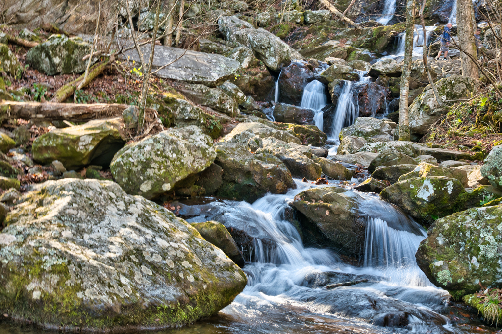
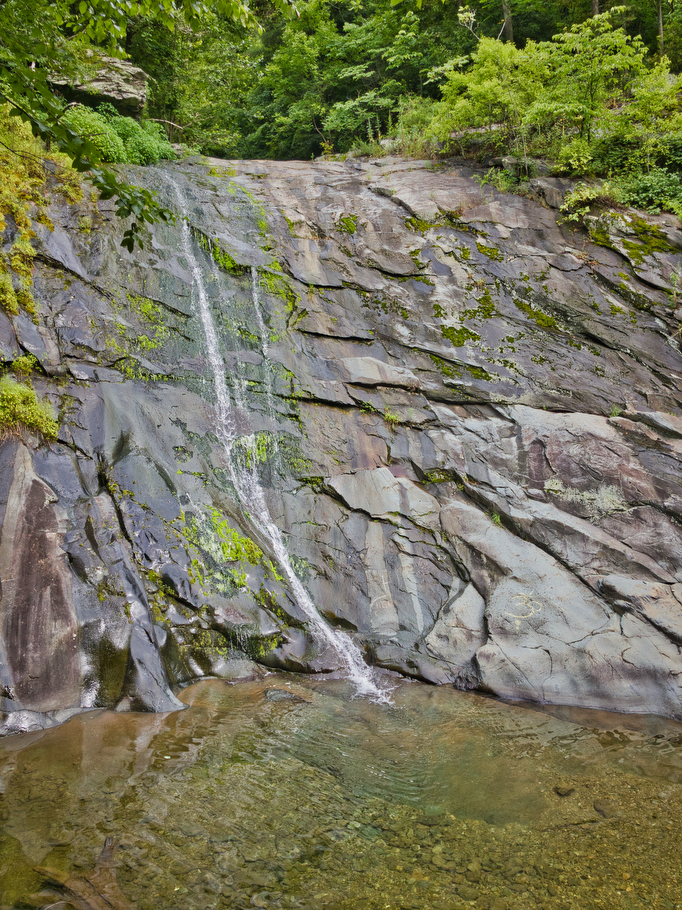
Waterfall

Little Devil Stairs

Highlights: Waterfalls, mountains, Shenandoah National Park, stream crossings Distance:  5.5 mile loop Elevation change: 1,490 feet Difficulty level: Strenuous Trailhead Parking: US 211 north of Sperryville, left on route 622 (Gidbrown Hollow Road) and then left on route 614 (Keyser Run Road). At the end of route 614 there is a small parking lot. The […]

Little Devil Stairs Read More »

Whiteoak Canyon & Cedar Run Falls Loop

Highlights: Waterfalls, mountains, Shenandoah National Park, stream crossings Distance:  7.3 mile loop (many sources, including our GPS, show this hike to be about 9 miles) Elevation change: 2,743 feet Difficulty level: Very Strenuous Trailhead Parking: Boundary Trailhead on route 600 near Syria (see link below) or Skyline Drive mile 45.6 Website: National Park Service Beer

Whiteoak Canyon & Cedar Run Falls Loop Read More »

Twin Arches and Slave Falls Loop

Highlights: sandstone arches, waterfall, cliffs, forest, wildlife Distance:  14.1 mile loop Elevation change:  2,035 feet Difficulty level: Difficult Trailhead Parking: Twin Arches Road, Great South Fork National Recreation Area, Jamestown TN; see link below for more information.   Website: National Park Service Beer Pairings: Wiseacre Brewing Company, Tiny Bomb pilsner & Ananda IPA The Hike:

Twin Arches and Slave Falls Loop Read More »

Crabtree Falls (Virginia)

Highlights: Highest waterfalls east of the Mississippi, classic Virginia bucket list hike  Distance: 4 mile out and back Elevation change:  1,070 feet Difficulty level: Moderate/strenuous Trailhead Parking: Crabtree Falls day use parking area, off state route 56 in Nelson county VA. $3 parking fee. Website: US Forest Service Beer Pairings: Blue Mountain Native Species pale

Crabtree Falls (Virginia) Read More »