National Forest

Cole Mountain Loop

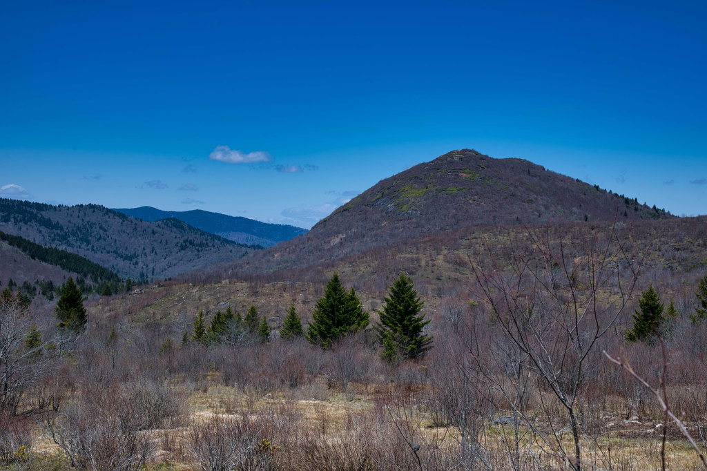
Highlights: Appalachian Trail, bald summit, great views, wildflowers, wildlife Distance: 6.1 mile loop Elevation change: 1,200 feet Difficulty level: Strenuous Trailhead Parking: Wiggins Springs Road (route 755) becomes Hog Camp Gap Road (Fire Road 48), parking at the AT crossing at Hog Camp Gap. For additional parking, continue past Hog Camp Gap for .25 miles […]

Cole Mountain Loop Read More »

John Rock Loop

Highlights: Sweeping vistas from granite summit, wildflowers Distance: 5.6 mile out-and-back Elevation change: 1,100 feet Difficulty level: Moderate/Strenuous Trailhead Parking: From US 276 turn onto FS Road 475, turn left at the Pisgah Center for Wildlife Education; trail head at end of parking lot on the left. Website: US Forest Service Beer Pairings: Ecusta Brewing

John Rock Loop Read More »

Looking Glass Rock

Highlights: Great views, granite summit, wildflowers Distance: 6.2 mile out-and-back Elevation change: 1,700 feet Difficulty level: Strenuous Trailhead Parking: From US 276 turn onto FS Road 475, signed for the Pisgah Center for Wildlife Education; trailhead parking is 1/2 mile on the right. Website: US Forest Service Beer Pairings: Oskar Blues Brewery—Can-O-Bliss Resinous IPA &

Looking Glass Rock Read More »

Sam Knob Loop

Highlights: Great views, rocky summit, stream crossings, wildflowers Distance: 3.9 mile loop Elevation change: 730 feet Difficulty level: Moderate Trailhead Parking: Blue Ridge Parkway mile 420, turn right on Black Balsam Road/Forest Road 816 and drive to the parking area at the end  Website: AllTrails Beer Pairings: Brevard Brewing—Nitro Stout & Juicy IPA The Hike:

Sam Knob Loop Read More »

Whiteside Mountain

Highlights: Great views, rock cliffs, wildflowers Distance: 2 mile loop Elevation change: 550 feet Difficulty level: Easy/Moderate Trailhead Parking: State Route 1680 between Highlands and Cashiers, fee required  Website: US Forest Service Beer Pairings: Highland Brewing—Gaelic Ale & Daycation IPA The Hike: This short hike has some great mountain views, geology, and history. From the

Whiteside Mountain Read More »

Springer Mountain

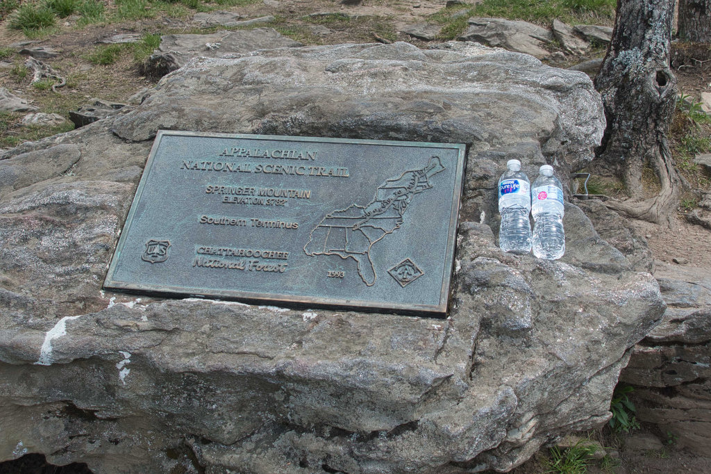
Highlights: Hike-in lodge, wildflowers, AT southern terminus  Distance: 8.8 mile out and back Elevation change: 1,565 feet Difficulty level: Strenuous Trailhead Parking: Amicaola State Park, Top of Falls parking area, park entrance fee required  Website: Len Foote Hike Inn Beer Pairings: Terrapin Brewing—Hopsecutioner IPA & Golden Ale The Hike: There are several ways to reach

Springer Mountain Read More »

Len Foote Hike Inn Trail

Highlights: Hike-in lodge, wildflowers, great views Distance: 4.9 miles one way Elevation change: 500 feet Difficulty level: Moderate/Strenuous Trailhead Parking: Amicaola State Park, Top of Falls parking area, park entrance fee required  Website: Len Foote Hike Inn Beer Pairings: Sweetwater Brewing—420 Extra Pale Ale & IPA The Hike: The Len Foote Hike Inn has been

Len Foote Hike Inn Trail Read More »

Huckleberry Knob & Hooper Bald

Highlights: Bald mountains, wildflowers, great views Distance: 3.2 miles out and back Elevation change: 500 feet Difficulty level: Easy Trailhead Parking: Cherohala Skyway mile post 8, Huckleberry Knob parking is on the right (westbound) and Hooper Bald parking is on the left a bit further west  Website: US Forest Service Beer Pairings: Nantahala Brewing—28779 Pale

Huckleberry Knob & Hooper Bald Read More »

Joyce Kilmer Memorial Forest

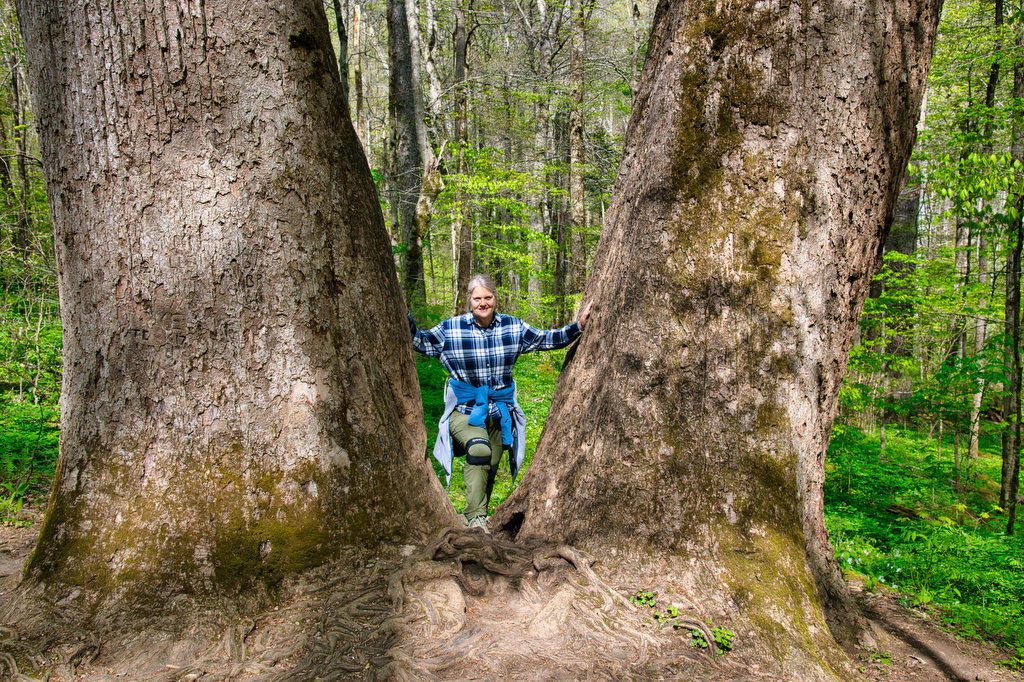
Highlights: Old growth forest, wildflowers, wildlife Distance: 2 mile loop Elevation change: 370 feet Difficulty level: Easy Trailhead Parking: Joyce Kilmer Memorial Forest, Joyce Kilmer Road Website: US Forest Service Beer Pairings: Mountain Layers Brewery—Dragon Tamer IPA & Fontana Hoppiness The Hike: Many of the forests in western North Carolina were clearcut in the late

Joyce Kilmer Memorial Forest Read More »

Spy Rock

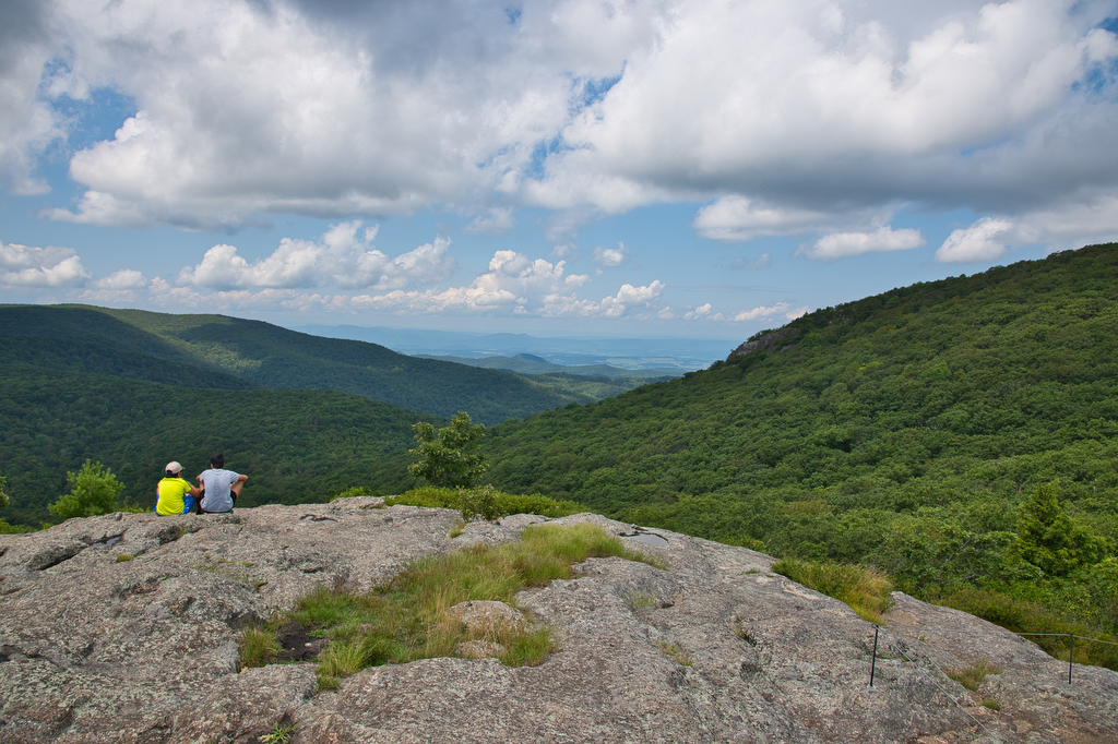
Highlights: Rocky summit, panoramic views, fall foliage, Appalachian Trail Distance:  5.8 mile out and back Elevation change:  1,200 feet Difficulty level: Moderate Trailhead Parking: State Route 828 (Meadows Lane) near Tyro, Virginia Website: AllTrails and US Forest Service Beer Pairings: Seven Sisters Brewery, Mary old ale & Maggie imperial IPA The Hike: In the old days

Spy Rock Read More »