National Forest

Siler Bald via the AT

Highlights: grassy summit, views, fall foliage, Appalachian Trail, Nantahala National Forest Distance:  3.6 mile out and back Elevation change:  1,000 feet Difficulty level: Moderate Trailhead Parking: Wayah Gap picnic area on Wayah Road, about 14 miles west of Franklin NC Website: AllTrails Beer Pairings: Lazy Hiker Brewing: Springer Fever pilsner and 20 Mile IPA The […]

Siler Bald via the AT Read More »

Twin Arches and Slave Falls Loop

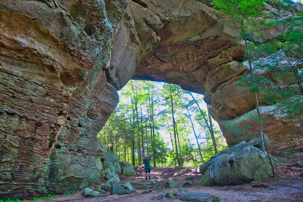
Highlights: sandstone arches, waterfall, cliffs, forest, wildlife Distance:  14.1 mile loop Elevation change:  2,035 feet Difficulty level: Difficult Trailhead Parking: Twin Arches Road, Great South Fork National Recreation Area, Jamestown TN; see link below for more information.   Website: National Park Service Beer Pairings: Wiseacre Brewing Company, Tiny Bomb pilsner & Ananda IPA The Hike:

Twin Arches and Slave Falls Loop Read More »

Grassy Ridge Bald, Jane Bald, and Round Bald on the AT

Highlights: Three bald summits, spectacular views, blaze orange azaleas, Roan Highlands, Appalachian Trail Distance:  4.9 mile out and back Elevation change:  1,030 feet Difficulty level: Moderate Trailhead Parking: Carver’s Gap at the NC/TN state line; Tennessee route 143 and North Carolina route 261 Website: AllTrails Beer Pairings: Sierra Nevada Pale Ale & Dankful IPA The

Grassy Ridge Bald, Jane Bald, and Round Bald on the AT Read More »

Black Balsam Knob, Tennent Mountain, and Ivestor Gap Loop

Highlights: mountain views, bald summit, wild flowers in spring Distance:  4.6 mile loop Elevation change:  700 feet Difficulty level: Moderate Trailhead Parking: Blue Ridge Parkway mile 420, turn right on Black Balsam Road/Forest Road 816 and drive 1.2 miles to the trailhead Website: US Forest Service Beer Pairings: Green Man Brewery-Green Man IPA & Green

Black Balsam Knob, Tennent Mountain, and Ivestor Gap Loop Read More »