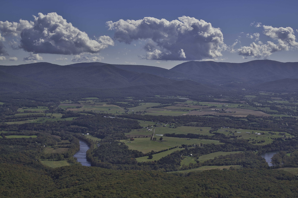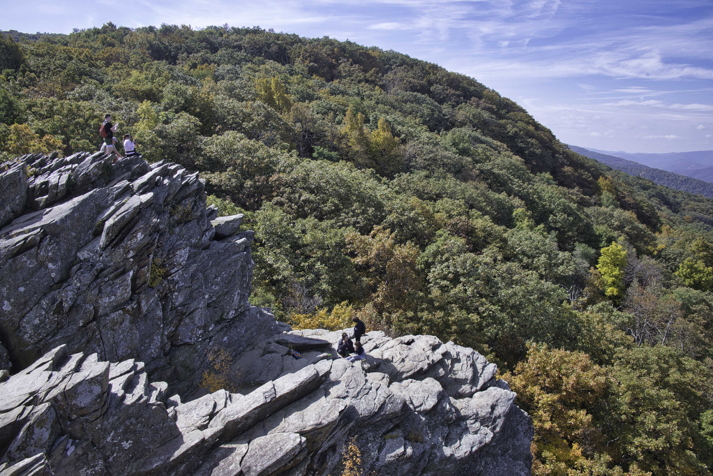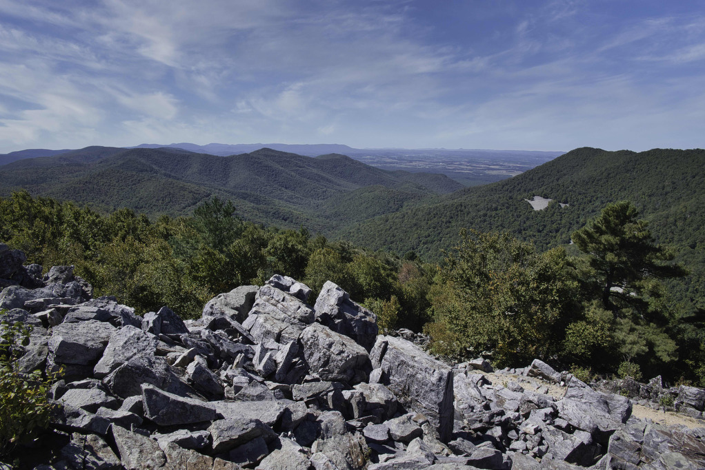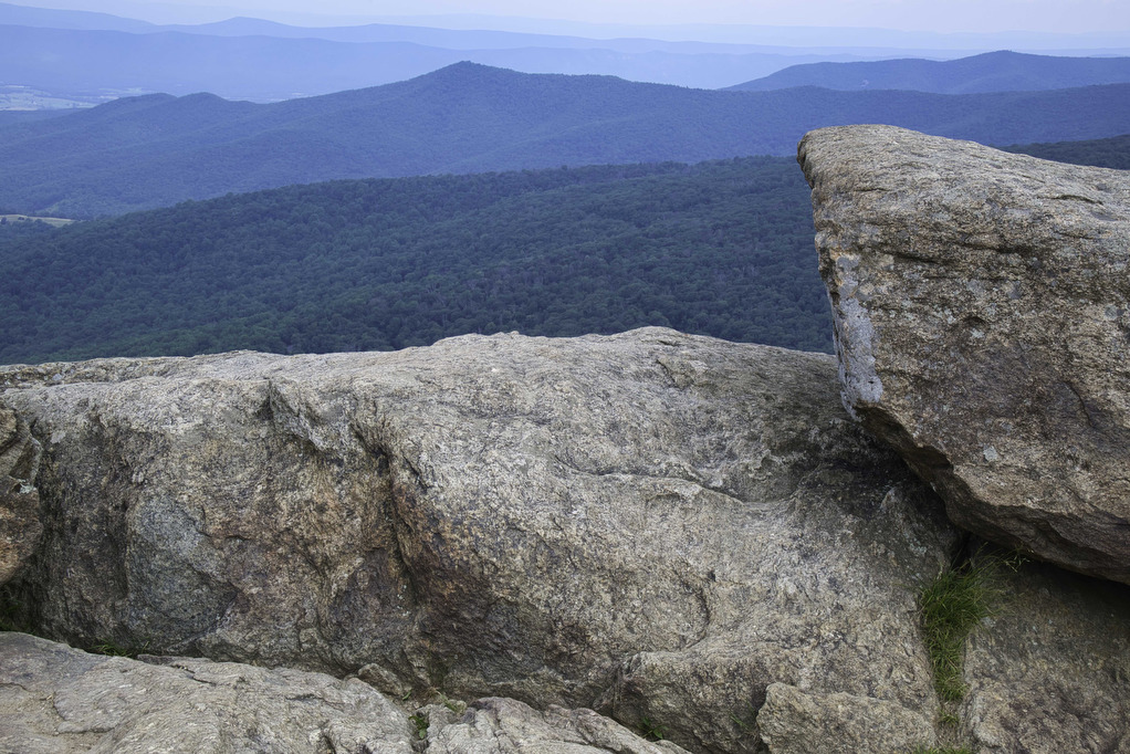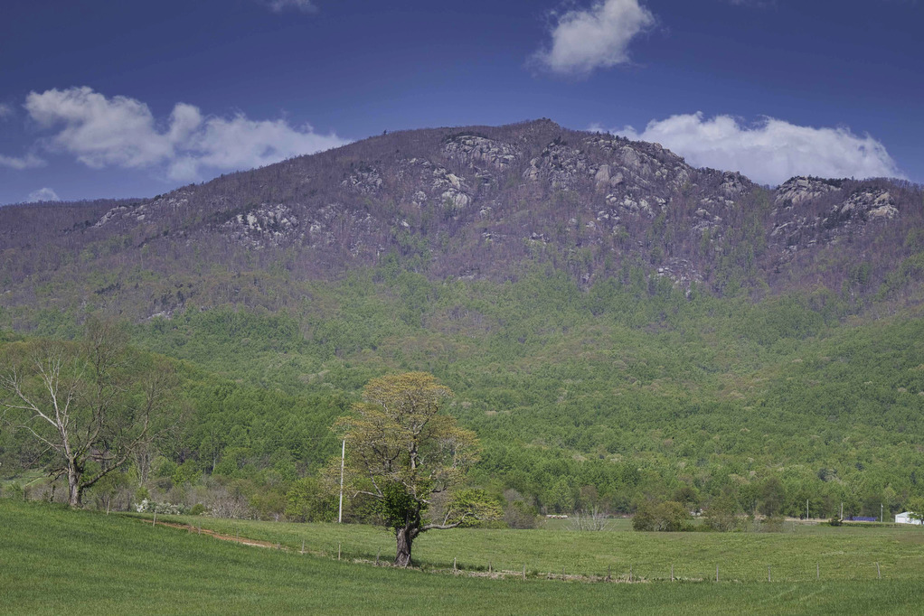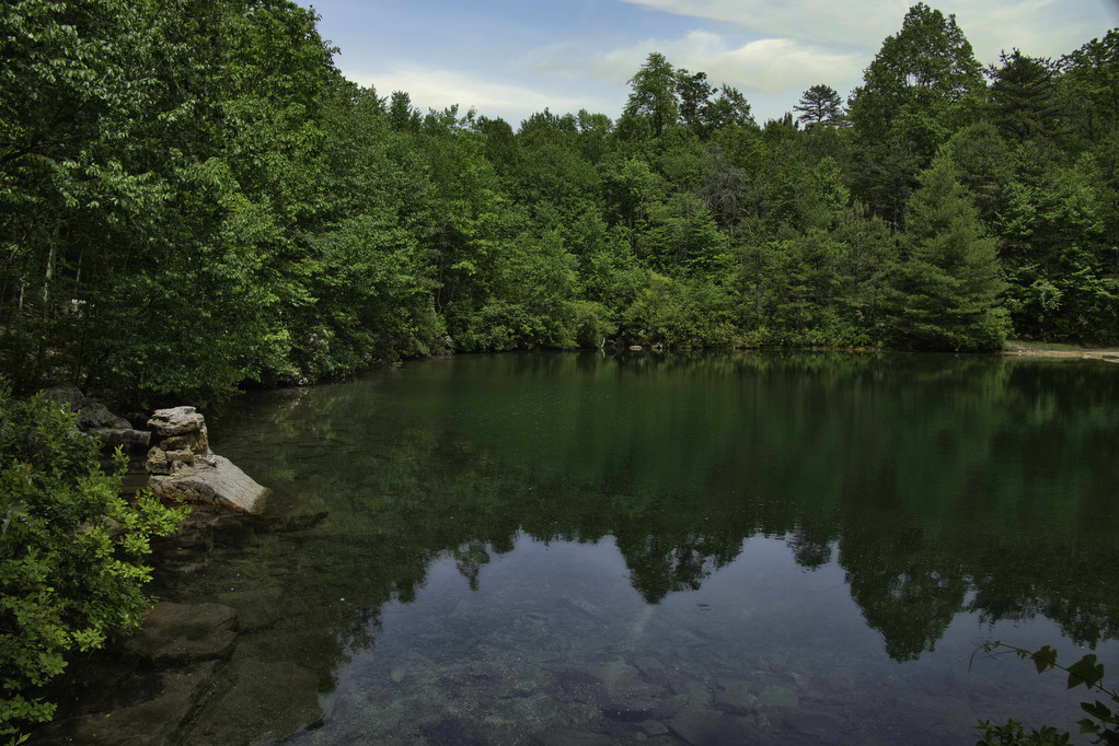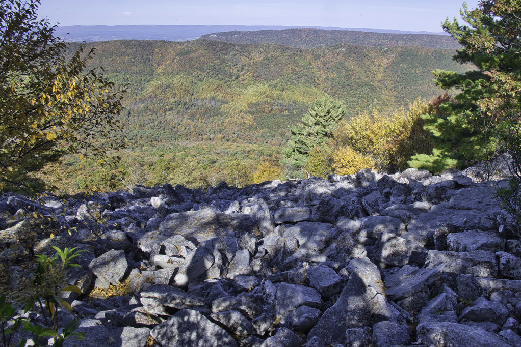
Duncan Knob & Strickler Knob
Highlights: Great views, two great rock scrambles, Massanutten Mountain Distance: 9.3 miles out and back Elevation Change 1,860 feet Trail Surface: Rocky with a few dirt sections Difficulty Level: Strenuous (distance, elevation gain, extremely rocky sections) Trailhead Parking: Gap Creek Trailhead, Crisman Hollow Road (FR 274) search Google Maps for “Gap Creek Trailhead”. Note: Crisman […]
Duncan Knob & Strickler Knob Read More »