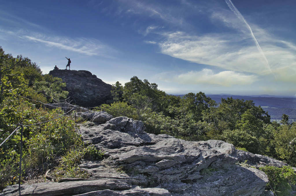
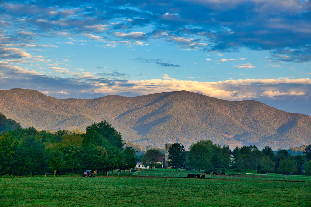
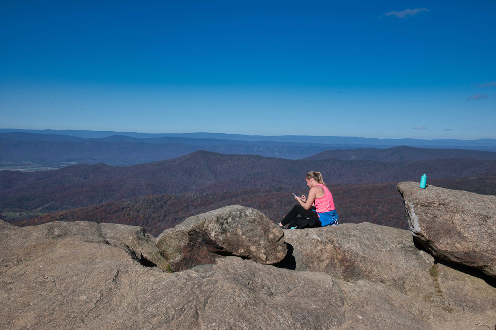
rocky summit

Big Schloss

Highlights: Panoramic views Distance: 4.5 miles out and back Elevation Change: 978 feet Trail Surface: Very rocky Difficulty Level: Moderate/strenuous (rocky surface and steep climb for initial .7 miles)  Trailhead Parking: Wolf Gap Recreation Area, VA state route 675 Website: US Forest Service and AllTrails Beer Pairings: Woodstock Brewhouse—Seven Bender Pale Ale & Massanutten Stout […]

Big Schloss Read More »

Buffalo Mountain Preserve

Highlights: Great views, rare plants, wildlife Distance: 2.2 miles out and back Elevation change: 560 feet Difficulty level: Easy Trailhead Parking: State route 727 near Union VA. The small parking area accommodates about 10 vehicles Website: Virginia Department of Conservation and Recreation Beer Pairings: Buffalo Mountain Brewery—McDaniel’s Scotch Ale & Copperhead IPA The Hike: Buffalo

Buffalo Mountain Preserve Read More »

Bearfence Rock Scramble

Highlights: Fantastic views, rock scramble, Appalachian Trail Distance: 1.1 mile loop Elevation change: 217 feet Difficulty level: Moderate with rock scramble, easy without the scramble Trailhead Parking: Skyline Drive Bearfence Trailhead parking area mile 56.4, park fee required Website: Shenandoah National Park Beer Pairings: Octonia Stone Brew Works—Rokuhnite Me Amadeus lager & Worth One’s Basalt

Bearfence Rock Scramble Read More »

Crabtree Falls to The Priest

Highlights: Views, wildflowers, wildlife, waterfalls, Appalachian Trail Distance: 10.5 miles out and back Elevation change: 2,570 feet Difficulty level: Strenuous Trailhead Parking: Crabtree Falls Trailhead parking area, Route 56, Tyro VA, $3 parking fee Website: AllTrails Beer Pairings: Blue Mountain Barrel House—Red Zeppelin Red IPA & Classic Lager The Hike: The Priest is a famous

Crabtree Falls to The Priest Read More »

Dragon’s Tooth

Highlights: Great views, Appalachian Trail, rock scrambles, wildflowers, Triple Crown Distance: 5.5 miles loop Elevation change: 1,340 feet Difficulty level: Strenuous Trailhead Parking: Dragon’s Tooth Trailhead, route 311 Website: Visit Roanoke and Hiking Upward  Beer Pairings: A Few Old Goats Brewing—Oatmeal Stout & Galactic Retribution IPA  The Hike: Dragon’s Tooth was our 3rd Triple Crown

Dragon’s Tooth Read More »

Tinker Cliffs

Highlights: Great views, Appalachian Trail, wildflowers, Triple Crown Distance: 7.5 miles out and back Elevation change: 1,810 feet Difficulty level: Strenuous Trailhead Parking: Andy Layne Trail Parking, Catawba Road route 779 Website: Visit Roanoke and AllTrails Beer Pairings: Parkway Brewing Co.—Triple A Red Ale & Grapefruit Get Bent Mountain IPA  The Hike: Tinker Cliffs is

Tinker Cliffs Read More »

McAfee Knob

Highlights: Great views, Appalachian Trail, wildflowers, Triple Crown Distance: 8.1 miles out and back Elevation change: 1,820 feet Difficulty level: Strenuous Trailhead Parking: Route 311, Catawba VA Website: Roanoke Appalachian Trail Club and AllTrails Beer Pairings: Golden Cactus Brewery—Moira Brown Ale & Money Tree IPA  The Hike: The summit of McAfee is said to be

McAfee Knob Read More »

AT: Pinnacle to Mary’s Rock

Highlights: Views, wildlife, Byrd’s Nest #3, Pinnacle summit, birdwatching, wildflowers Distance: 7.1 miles out and back Elevation change: 1,370 feet Difficulty level: Moderate/strenuous Trailhead Parking: Pinnacles Picnic area, Skyline Drive mile 36.7, park fee required  Website: AllTrails Beer Pairings: Old Trade Brewing—Mitch is Bitter ESB & Foggy Morning IPA The Hike: There are several ways

AT: Pinnacle to Mary’s Rock Read More »

Mary’s Rock

Highlights: Views, wildlife, birdwatching, Appalachian Trail Distance: 2.9 miles out and back Elevation change: 830 feet Difficulty level: Easy/moderate Trailhead Parking: Meadow Spring parking area, Skyline Drive mile 33.5, park fee required Website: Shenandoah National Park Beer Pairings: Hopkins Ordinary Ale Works—End of the Trail Pale Ale & Sperryville VeryChill Kölsch The Hike: There are

Mary’s Rock Read More »

Devil’s Marbleyard

Highlights: Amazing rock scramble and great views Distance: 3.8 miles out and back Elevation change: 1,150 feet Difficulty level: Moderate/Strenuous Trailhead Parking: VA 781 (Petites Gap Road) small parking area at Belfast Trailhead, 4.5 miles south of Blue Ridge Parkway Website: US Forest Service Beer Pairings: Great Valley Farm Brewery—IPA & Coffee Stout The Hike:

Devil’s Marbleyard Read More »