wildlife

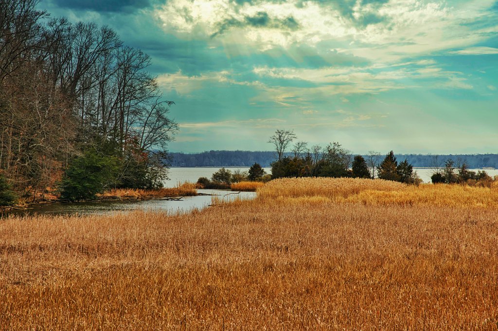
Chippokes Plantation

Highlights: James River, wildlife, plantation Distance: 5.6 miles out and back Elevation change: 160 feet Difficulty level: Easy/Moderate Trailhead Parking: Chippokes State Park Visitor Center, 695 Chippokes Park Rd., Surry, VA Website: Chippokes State Park Beer Pairings: Billsburg Brewery Brewery—Irish Exit stout & Supafly double IPA The Hike: Chippokes is one of our favorite Virginia […]

Chippokes Plantation Read More »

Hazel River Falls

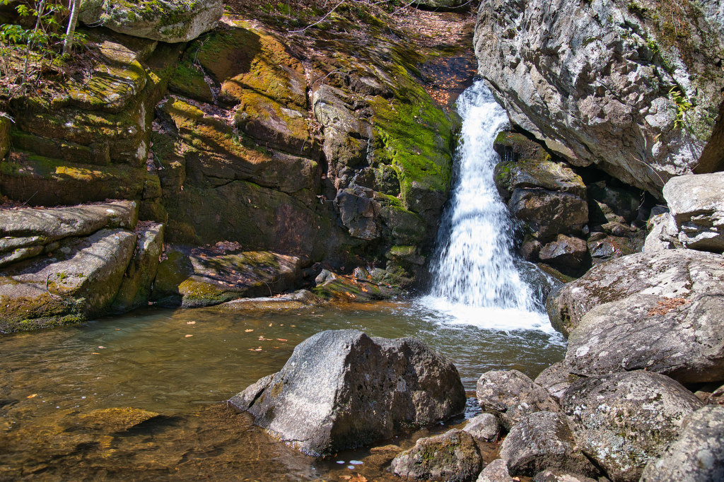
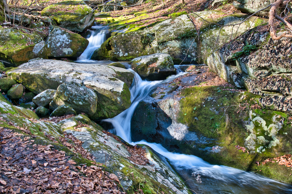
Highlights: Waterfall, cave, Shenandoah National Park Distance: 5.6 miles out and back Elevation change: 1,050 feet Difficulty level: Moderate/Strenuous Trailhead Parking: Meadow Spring Parking Area, Skyline Drive mile 33.5 Website: Shenandoah National Park Beer Pairings: Reason Beer—Perpetual Bloom IPA & Reasonable session IPA The Hike: This hike is a Shenandoah undiscovered gem. Most people go

Hazel River Falls Read More »

Loft Wayside to Ivy Creek

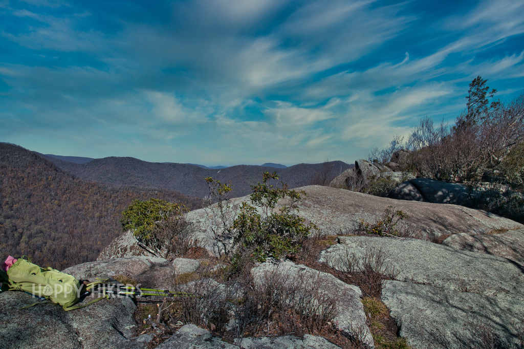
Highlights: Great views, Appalachian Trail, Shenandoah National Park Distance: 7.2 miles out and back Elevation change: 1,130feet Difficulty level: Moderate/Strenuous Trailhead Parking: Loft Mountain Wayside parking area, Skyline Drive mile 79.5 Website: Shenandoah National Park  Beer Pairings: Three Notch’d Brewery—40 Mile IPA & No Veto brown ale The Hike: This hike begins at the north

Loft Wayside to Ivy Creek Read More »

Big Branch Falls via Moorman’s River Trail

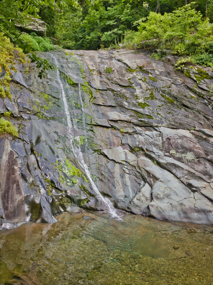
Highlights: Waterfall, stream crossing, wildlife, Shenandoah National Park Distance: 7.0 miles out and back Elevation change: 1,150 feet Difficulty level: Moderate Trailhead Parking: Blackrock Gap parking area, Skyline Drive mile 87.4 Website: Shenandoah National Park Beer Pairings: Center of the Universe Brewery—Pocahoptas IPA & Slingshot Kölsch The Hike: This hike is a great way to

Big Branch Falls via Moorman’s River Trail Read More »

Corbin Cabin-Nicholson Hollow Loop

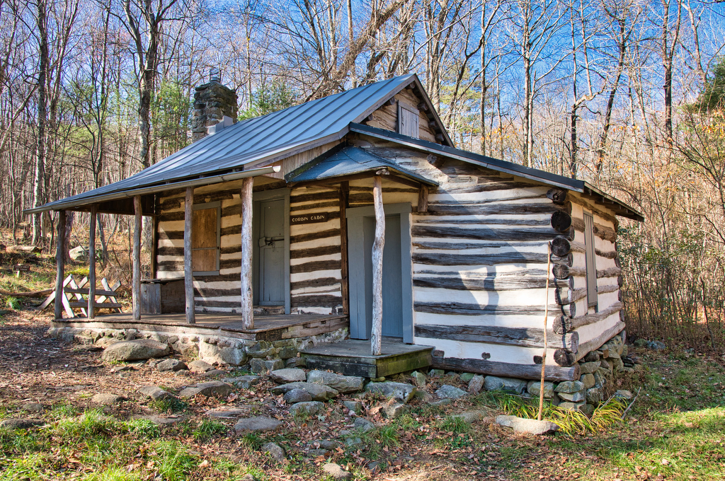
Highlights: Cabins, river, Appalachian Trail, Shenandoah National Park Distance: 4.2 mile out and back Elevation change: 1,050 feet Difficulty level: Moderate Trailhead Parking: Skyline Drive mile 37.9 Website: Shenandoah National Park Beer Pairings: Brothers Craft Brewing—Great Outdoors Virginia pale ale & Elementary porter The Hike: This hike offers a glimpse into life in this region

Corbin Cabin-Nicholson Hollow Loop Read More »

Turk Mountain

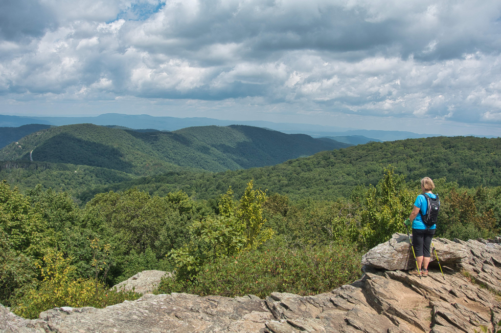
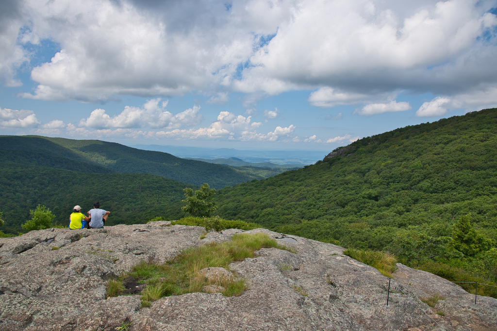
Highlights: Views, wildlife, Shenandoah National Park Distance:  2.2 mile out and back Elevation change: 690 feet Difficulty level: Easy Trailhead Parking: Turk Gap Parking Area, Skyline Drive mile 94.1 Website: Shenandoah National Park Beer Pairings: Wild Wolf Brewery, Primal Instinct IPA & Nelsonite brown ale The Hike: This is a fun, easy hike with great

Turk Mountain Read More »

Caledon State Park Loop

Highlights: River views, wildlife, birdwatching Distance:  7.1 mile loop Elevation change: 426 feet Difficulty level: Moderate Trailhead Parking: 11617 Caledon Road, King George VA Website: Caledon State Park Beer Pairings: Colonial Beach Brewery, Beach Brew-nette & Monroe Bay IPA The Hike: Caledon became a Virginia State Park in 2012, but its history goes back to

Caledon State Park Loop Read More »

Bear Church Rock via Bootens Gap

Highlights: Shenandoah National Park, wilderness views, wildflowers Distance:  9.4 mile out and back  Elevation change: 1,800 feet Difficulty level: Strenuous Trailhead Parking: Skyline Drive, mile 55.1, Bootens Gap parking area Website: Virginia Trail Guide Beer Pairings: Cave Hill Farms Brewery: Full Mane IPA & Hoppy Gator IPA The Hike: We were looking for a longer

Bear Church Rock via Bootens Gap Read More »

Rose River Falls Loop Trail

The Hike: We really enjoyed this hike. It has great views of two waterfalls and is located in one of Park’s federally designated Wilderness areas. The trailhead is located near Skyline Drive. An information sign has a map and trail details. This is a loop hike, so you can go in either direction. We chose

Rose River Falls Loop Trail Read More »

Spy Rock

Highlights: Rocky summit, panoramic views, fall foliage, Appalachian Trail Distance:  5.8 mile out and back Elevation change:  1,200 feet Difficulty level: Moderate Trailhead Parking: State Route 828 (Meadows Lane) near Tyro, Virginia Website: AllTrails and US Forest Service Beer Pairings: Seven Sisters Brewery, Mary old ale & Maggie imperial IPA The Hike: In the old days

Spy Rock Read More »