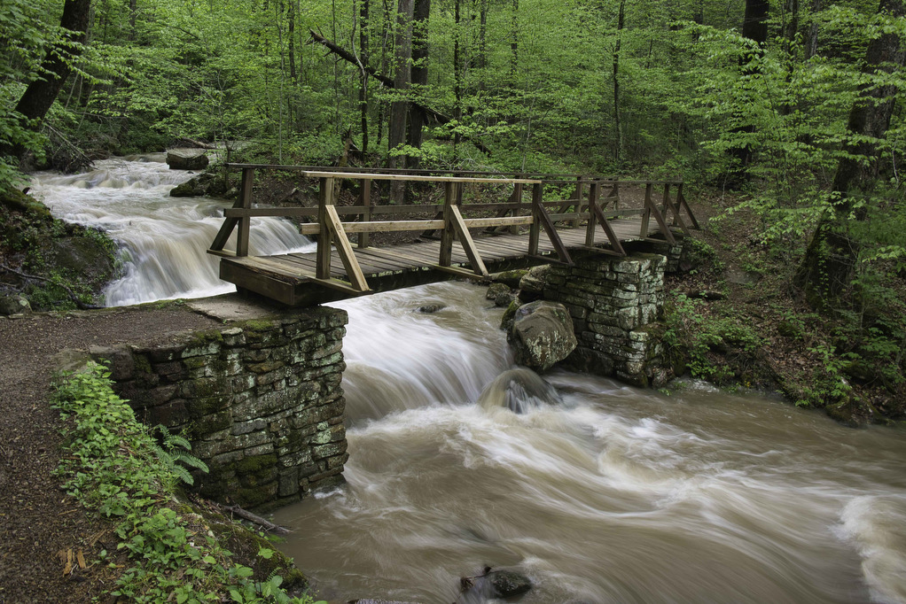
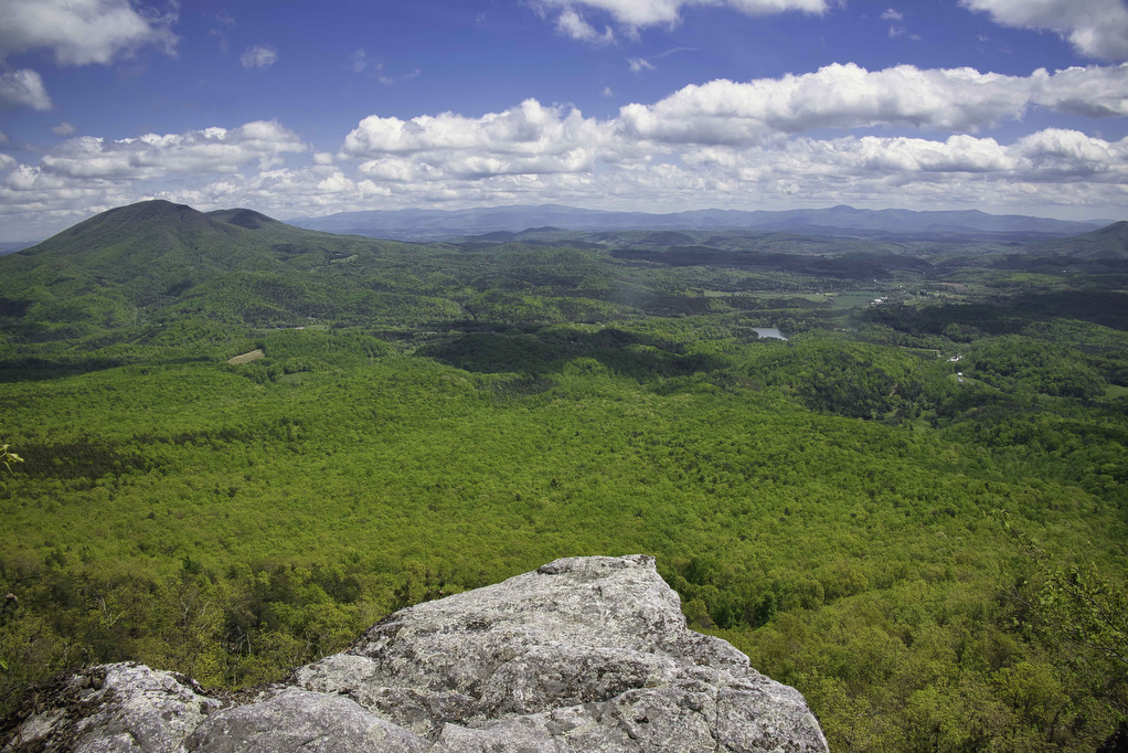
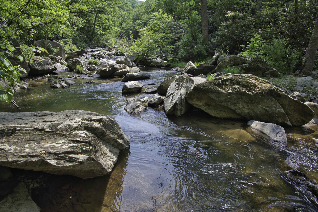
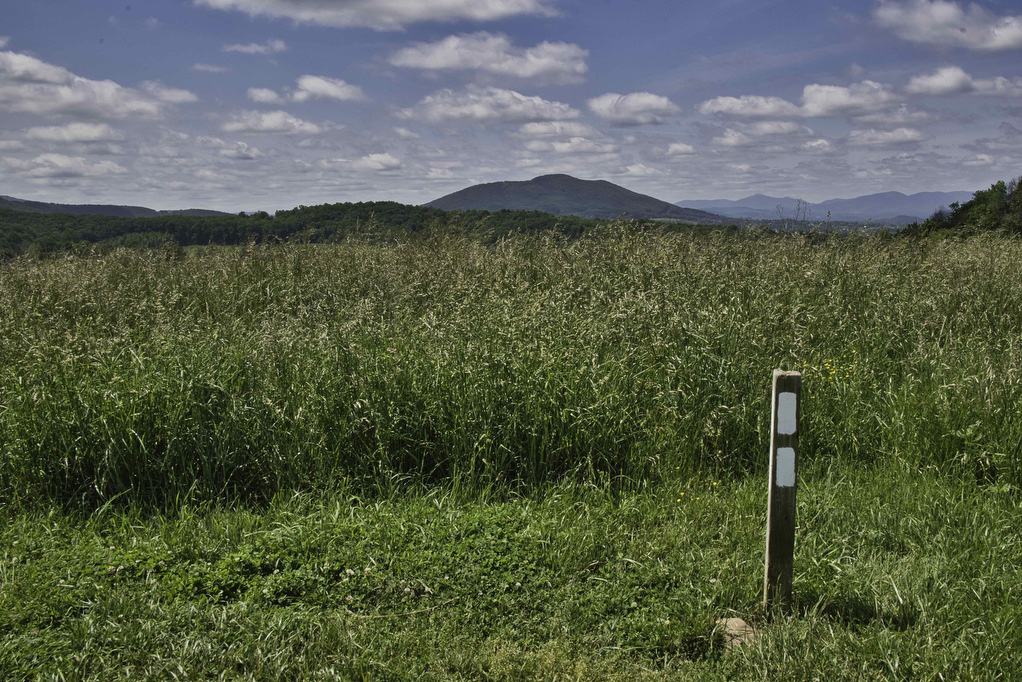
Carvins Cove & Hay Rock

The Hike: This hike on the Appalachian Trail has great views of Carvins Cove Reservoir and and Hay Rock. The trail is well marked and well maintained thanks to the volunteers with the Roanoke Appalachian Trail Club. A short .2 mile unmarked trail leads from the parking area to the AT. This trail is located […]

Carvins Cove & Hay Rock Read More »

Eagle Rock

Highlights: Great views, Tuscarora Trail Distance: 2.2 miles out and back Elevation Change 489 feet Trail Surface: Mostly dirt with a few rocky sections Difficulty Level: Easy/Moderate (some rocky sections) Trailhead Parking: Eagle Rock Trailhead parking area at the VA/WV state line, Capon Springs Grade, search Google Maps for “Tuscarora Trail Eagle Rock Trailhead” Website:

Eagle Rock Read More »

Duncan Knob & Strickler Knob

Highlights: Great views, two great rock scrambles, Massanutten Mountain Distance: 9.3 miles out and back Elevation Change 1,860 feet Trail Surface: Rocky with a few dirt sections Difficulty Level: Strenuous (distance, elevation gain, extremely rocky sections) Trailhead Parking: Gap Creek Trailhead, Crisman Hollow Road (FR 274) search Google Maps for “Gap Creek Trailhead”. Note: Crisman

Duncan Knob & Strickler Knob Read More »

Kennedy Peak

Highlights: Great views, Massanutten Mountain Trail Distance: 5.2 miles out and back Elevation Change 791 feet Trail Surface: Dirt with rocky sections Difficulty Level: Moderate (distance, elevation gain, rocky sections) Trailhead Parking: Edith’s Gap, state route 675; search Google maps for “Edith’s Gap launch area” Website: AllTrails Beer Pairings: Swover Creek Farm Brewery—Nut Brown Ale

Kennedy Peak Read More »

Humpback Mountain & Humpback Rocks

Highlights: Great views, Appalachian Trail Distance: 10.2 miles out and back Elevation Change 2,112 feet Trail Surface: Dirt with rocky sections Difficulty Level: Strenuous (distance, elevation gain, rocky sections) Trailhead Parking: Humpback Rocks Picnic Area parking area, Blue Ridge Parkway MP 8.5 Website: National Park Service and AllTrails Beer Pairings: Blue Mountain Brewery—Bumper Crop IPA

Humpback Mountain & Humpback Rocks Read More »

Browns Gap to Blackrock Summit

Highlights: Great views, Appalachian Trail Distance: 5.4 miles out and back Elevation Change 646 feet Trail Surface: Dirt with rocky sections Difficulty Level: Moderate (distance, rocky sections) Trailhead Parking: Brown’s Gap parking area, Skyline Drive MP 83 Website: AllTrails and Shenandoah National Park Beer Pairings: Champion Brewing Ice House—Hatchback Lyfe IPA & Festbier The Hike:

Browns Gap to Blackrock Summit Read More »

Thunder Ridge to Apple Orchard Mountain

Highlights: Great views, the Guillotine, Appalachian Trail Distance: 5.4 miles out and back Elevation Change: 948 feet Trail Surface: Dirt with rocky sections Difficulty Level: Moderate (distance, rocky sections) Trailhead Parking: Thunder Ridge parking area, Blue Ridge Parkway MP 74.7 Website: AllTrails Beer Pairings: Loose Shoe Brewing Co.—Apprentice Brown Ale & Alpha Mare IPA The

Thunder Ridge to Apple Orchard Mountain Read More »

Dripping Rock to Cedar Cliffs AT

Highlights: Great views, Appalachian Trail Distance: 2.3 miles out and back Elevation Change: 245 feet Trail Surface: Dirt with rocky sections Difficulty Level: Easy (rocky sections) Trailhead Parking: Dripping Rock, Blue Ridge Parkway MP 9.6 Website: AllTrails https://www.alltrails.com/explore/trail/us/virginia/dripping-rock-south-via-appalachian-trail Beer Pairings: Stable Craft Brewing—Shenny Doah Pilsner & Robot Cowboy Hazy IPA The Hike: This short hike

Dripping Rock to Cedar Cliffs AT Read More »

Reeds Gap to Dripping Rock AT

Highlights: Great views, Cedar Cliffs, Appalachian Trail Distance: 9.6 miles out and back Elevation Change: 831 feet Trail Surface: Dirt with rocky sections Difficulty Level: Moderate/strenuous (distance, rocky sections) Trailhead Parking: Reeds Gap, Blue Ridge Parkway MP 13.7 Website: Virginia Trail Guide Beer Pairings: Skipping Rock Beer Co.—Roasted Pecan Brown Ale & Bru-1 IPA The

Reeds Gap to Dripping Rock AT Read More »

Fløyen

Highlights: Awesome views Distance: 3.6 miles out and back Elevation Change: 1,010 feet Trail Surface: paved and dirt sections Difficulty Level: Moderate/strenuous (elevation) Trailhead Parking: Fløibanen funicular station, Vetrlidsalmenning 23 A, 5014 Bergen, Norway Website: AllTrails Beer Pairings: Brian Boru Irish Pub—Guinness Stout & Citralicious IPA The Hike: This hike is for our international friends. We

Fløyen Read More »