Appalachian Trail

Beauty Spot

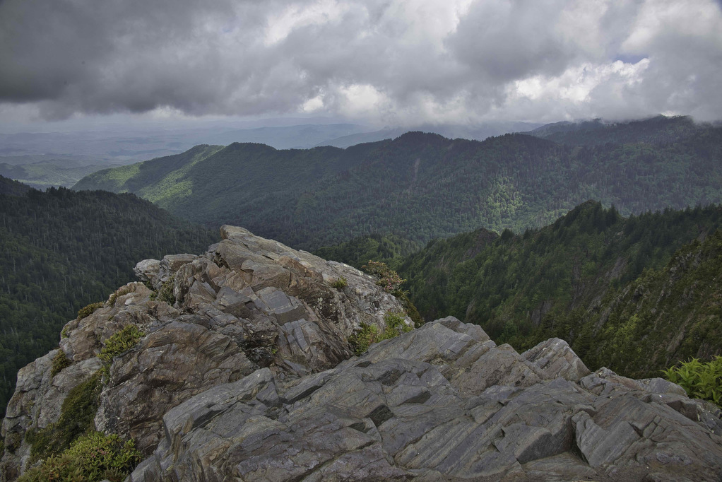
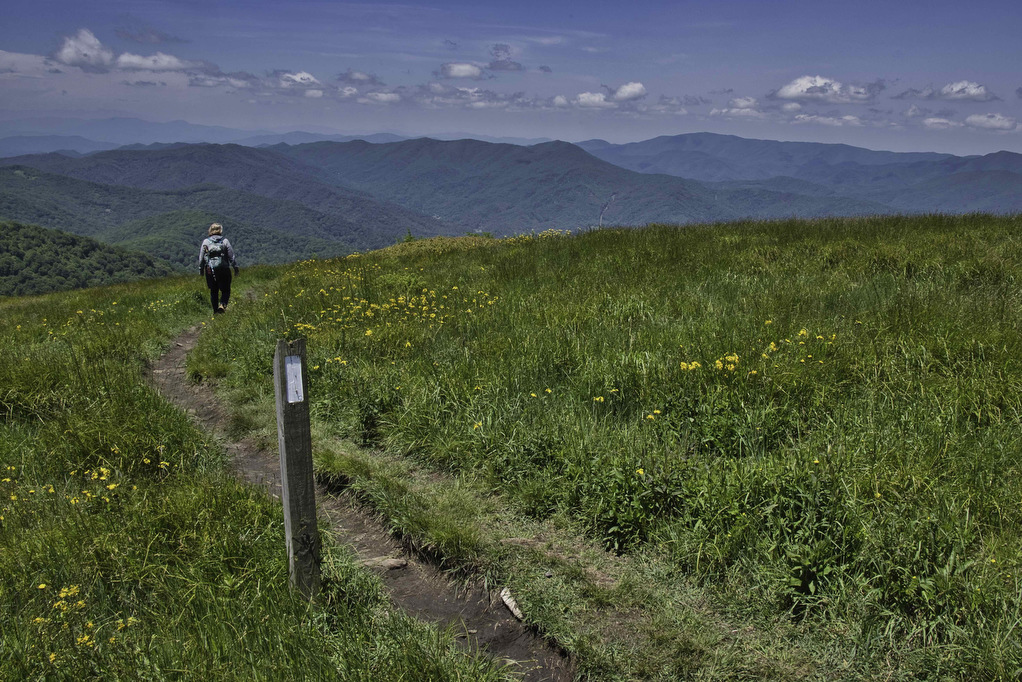
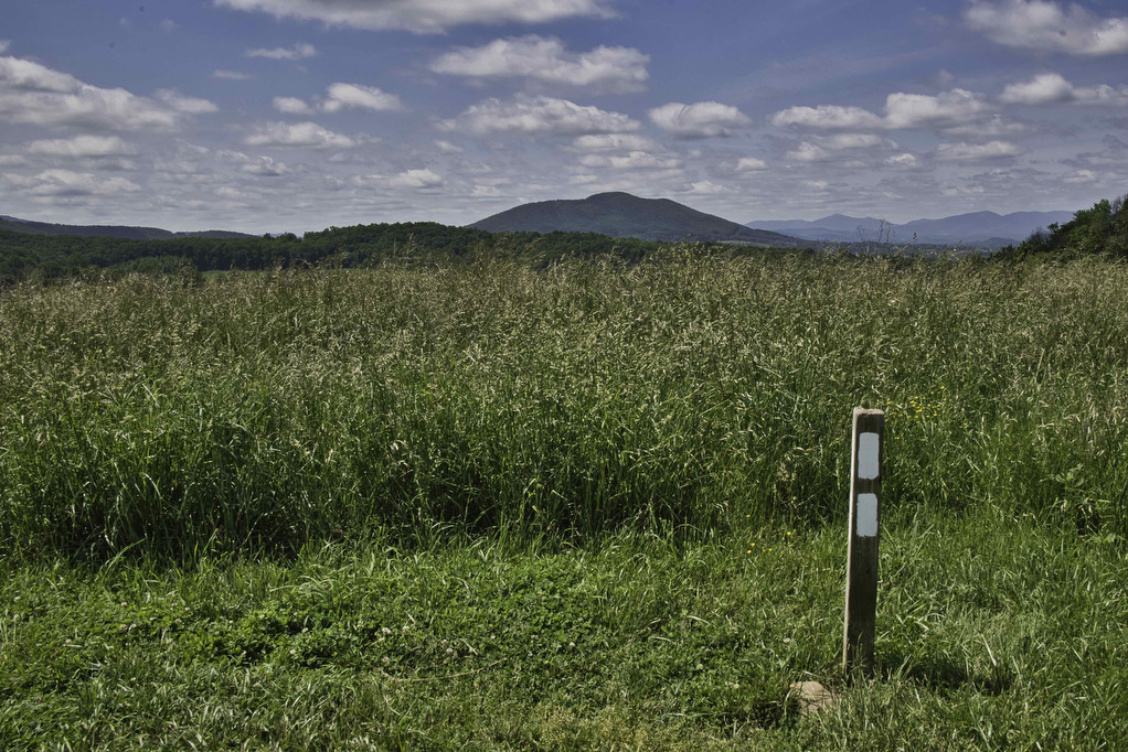
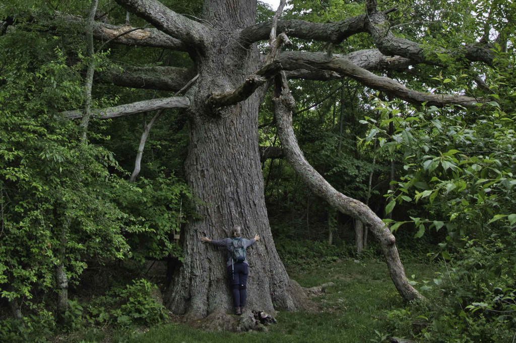
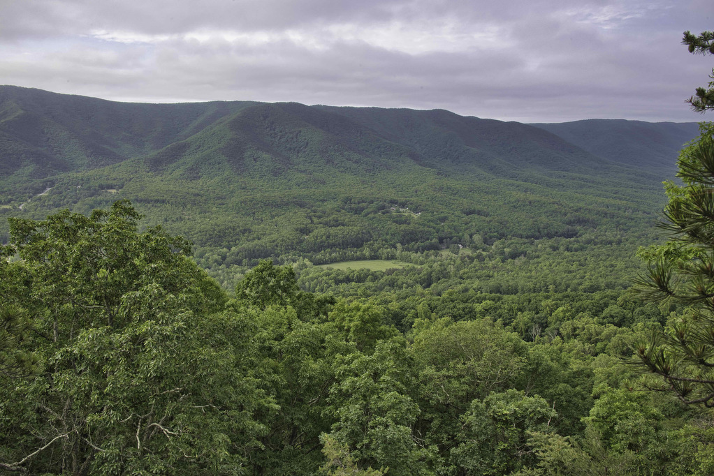
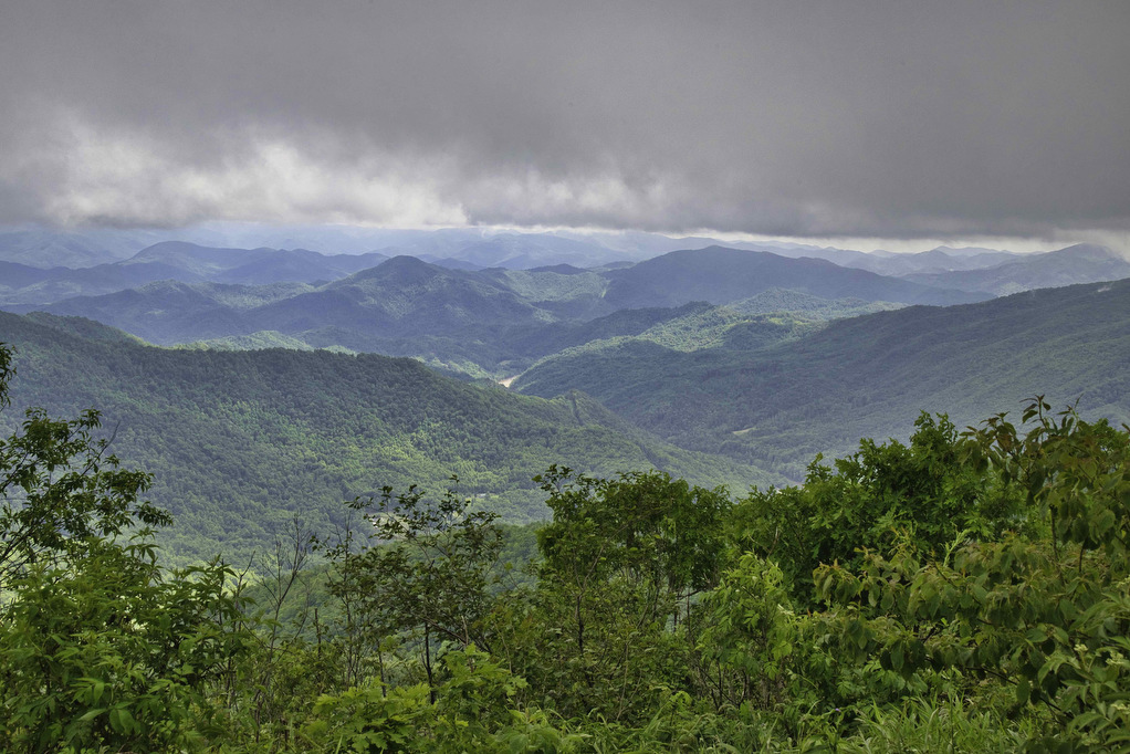
Trail Map: The Hike: Beauty Spot is a popular local destination. The Appalachian Trail passes through this bald summit. However, most visitors drive here over a bumpy dirt road. The day of our hike, the weather wasn’t cooperating. The forecast called for clouds and scattered showers much of the day. We waited for the heavy […]

Beauty Spot Read More »

Charlies Bunion

Trail Map: The Hike: This hike is said to have some of the best views in Great Smoky Mountains NP. We certainly understand why it is so popular. This eight-mile round trip hike on the Appalachian Trail has an option one mile extension on the Jump Off Trail with even more amazing views. Dogs are

Charlies Bunion Read More »

Big Meadows Waterfall Loop

Trail Map: The Hike: We have hiked to both Dark Hollow Falls and Rose River Falls and they are both great hikes. This hike combines both falls and includes a short stretch on the Appalachian Trail. Note pets are not allowed at Dark Hollow Falls. Navigating through the campground at the beginning of the hike

Big Meadows Waterfall Loop Read More »

Appalachian Trail to Fulhardt Knob Shelter

Trail Map: The Hike: Thru-hikers call the Appalachian Trail “the long green tunnel”. For most of its 2,198 miles, the AT passes through forests beneath heavy tree cover. This hike has a small section of open meadow with some nice mountain views. There are a few partial views during the rest of the hike under

Appalachian Trail to Fulhardt Knob Shelter Read More »

Appalachian Trail to Keffer Oak

Trail Map: The Hike: This easy hike on the Appalachian Trail has some nice meadow and mountain views. It also passes beside Keffer Oak, the 2nd largest tree on the AT. From the trailhead parking area, cross route 42 and follow a gravel double track road which runs beside the highway. In about 200 yards,

Appalachian Trail to Keffer Oak Read More »

Settler’s Museum to Glade Mountain

Trail Map: The Hike: This Appalachian Trail section hike doesn’t show up on AllTrails or most hiking websites. It’s a shame as this hike has views of the Great Valley, an AT shelter, several stream crossings, and what may be the longest rhododendron tunnel on the AT. The trailhead is located at an open air

Settler’s Museum to Glade Mountain Read More »

Apple Orchard Falls & Cornelius Creek Loop

The Hike: We hiked to Apple Orchard Falls in the dry summer of 2021. The water level in the falls that year was just a trickle—but it was still a great hike. We wanted to go back when the water level was higher to see the 200’ falls in all of its glory.  Kathy is

Apple Orchard Falls & Cornelius Creek Loop Read More »